
Follies · South East England
Luttrell's Tower
In or near Hamble-le-Rice.
Luttrell's Tower — Folly or eyecatcher.

Wikimedia Commons contributors — see linked file page for photographer and licence licence

Plan your visit
- Typical visit
- 20 min–45 min
- Nearest railway station
- Exbury Central · 5.3 km
- Free entry
- Dog-friendly
Getting there & planning your visit
To visit Luttrell's Tower, the nearest railway station is Exbury Central, located 5.3 km away. The postcode for sat-nav is SO45 1BT, and entry is free.
About
Luttrell's Tower is a folly — a piece of decorative architecture built more for the view than any practical purpose — in the United Kingdom. Wikidata describes it as: "Folly or eyecatcher.". Coordinates: 50.8059°, -1.3245°.
Photo gallery
Heritage listing
Luttrell's Tower is a three-storey stuccoed yellow brick folly south of Southampton, Hampshire, England, near the village of Calshot. It has a six-storey circular stair turret extending above the rest. It stands on the shore of the Solent, close to the grounds of Eaglehurst House. It is owned by the Landmark Trust.
From the Historic England List Entry under OGL v3.
Protected designations
- Site of Special Scientific Interest: North Solent SSSI
- Site of Special Scientific Interest: Lee-on-The Solent to Itchen Estuary SSSI
- Ramsar wetland: Solent & Southampton Water
Designations sourced from Natural England open data under OGL v3.
From the Wikipedia article
Luttrell's Tower is a three-storey stuccoed yellow brick folly south of Southampton, Hampshire, England, near the village of Calshot. It has a six-storey circular stair turret extending above the rest. It stands on the shore of the Solent, close to the grounds of Eaglehurst House. It is owned by the Landmark Trust.
Excerpt from Wikipedia under CC BY-SA 4.0. See the source article linked in Sources below.
Background
History
The tower was built circa 1780 for Temple Simon Luttrell by Thomas Sandby, who was a founder member and first Professor of Architecture at the Royal Academy. Temple Luttrell was a Member of Parliament who was allegedly involved in smuggling on the south coast (though no firm evidence of this exists). Once the goods were on the mainland, the proximity of Southampton would have made distribution expeditious. In the early 19th century the tower was sold to Richard Lambart, 7th Earl of Cavan. His youngest daughter, Gioia, was christened at Fawley Church in 1916. Steps down to the beach were added in 1927 to a design by Clough Williams-Ellis. During World War 2 the tower was taken over by the…
Sourced from Wikipedia under CC BY-SA 4.0.
- Coordinates
- 50.8059, -1.3245
- County
- Hampshire
- District
- New Forest
- Parish
- Fawley
- Postcode
- SO45 1BT
- Parliamentary constituency
- New Forest East
- Established
- 1780
- Nearest railway station
- Exbury Central — 5.3 km
Sources
- osm: w44845670 (ODbL)
- wikipedia: Luttrell's Tower (CC BY-SA 4.0)
- commons: Lutterells Tower looks out over the Western Solent - geograph.org.uk - 1707214.jpg (CC BY-SA 4.0)
Other places nearby

Cadland House
Manor houses · 1.4 km

Calshot Beach
Beaches · 1.4 km

Ower
Villages · 1.5 km

Calshot
Caravan parks · 1.5 km

Calshot Airfield
Memorials & monuments · 1.7 km
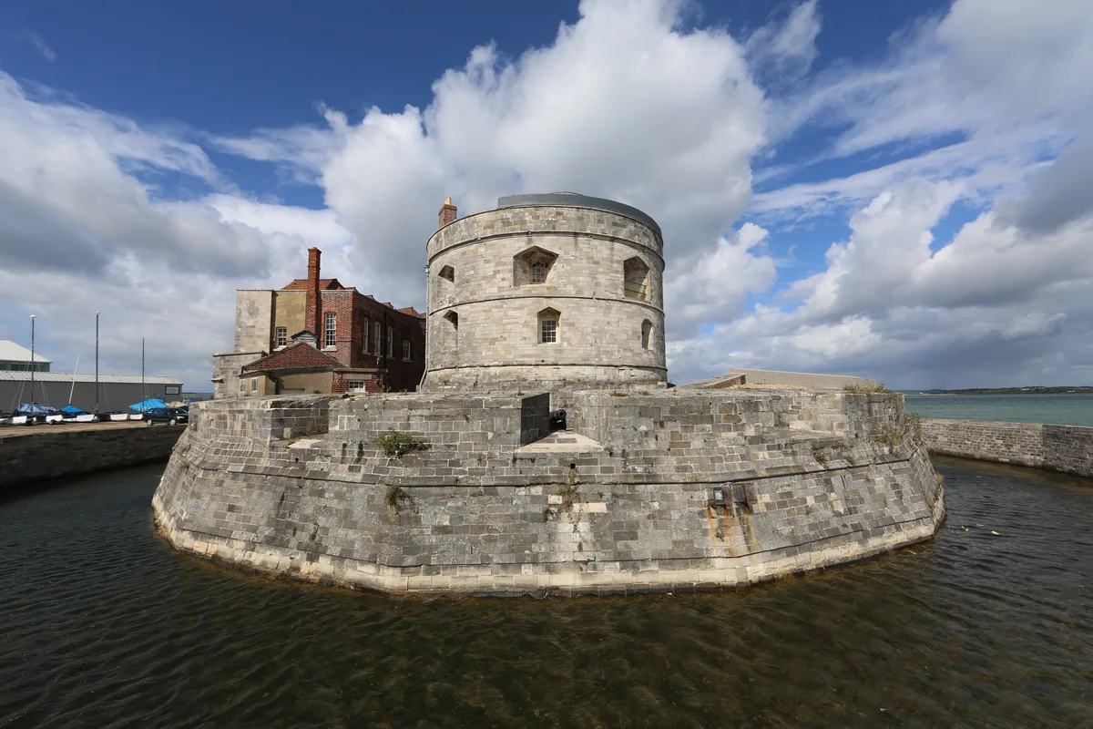
Calshot Castle
Castles · 2.0 km

Fawley
Villages · 2.2 km

Lepe Off Road Cycle Trail (Shortcut)
Mountain bike trails · 2.2 km

4th/7th Royal Dragoon Guards
Memorials & monuments · 2.3 km

Stonehill Farm
Campsites · 2.3 km

Lepe Off Road Cycle Trail
Mountain bike trails · 2.6 km

Falcon Hotel
Historic pubs · 2.9 km
Nearby
📷 5Manor houses · South East England
Cadland House
Cadland House — a manor in england-south-east, United Kingdom.
📷 5📷 5📷 5📷 5Memorials & monuments · South East England
Calshot Airfield
Calshot Airfield — a memorial in england-south-east, United Kingdom.
📷 5Castles · South East England
Calshot Castle
Calshot Castle — artillery fort on the Calshot Spit, Hampshire, England, UK.
Where to eat & stay near Luttrell's Tower
Places to stay
📷 5📷 5 📷 5
📷 5Caravan parks · South East England
Solent Breezes
Solent Breezes — a caravan park in england south east.
 📷 7
📷 7 📷 5
📷 5 📷 5
📷 5B&Bs · South East England
The Duke of York
The Duke of York — a bed-and-breakfast in england south east.
Places to eat & drink
📷 5 📷 5
📷 5Restaurants · South East England
Call It What You Want
Call It What You Want — a restaurant in england south east. Cuisine: american;barbecue.
 📷 6
📷 6Restaurants · South East England
Cowes Tandoori
Cowes Tandoori — a restaurant in england south east.
 📷 5
📷 5Historic pubs · South East England
The Victory Inn
The Victory Inn in England South East, United Kingdom.
 📷 5
📷 5Historic pubs · South East England
Jolly Farmer Public House
Jolly Farmer Public House in England South East, United Kingdom.
 📷 5
📷 5Historic pubs · South East England
Master Builder's House Hotel
Master Builder's House Hotel in England South East, United Kingdom.
More follies in this region
 📷 5
📷 5 📷 5
📷 5 📷 5
📷 5Follies · South East England
Clandon Park Grotto
Clandon Park Grotto — Folly or eyecatcher.
 📷 5
📷 5Follies · South East England
Clandon Park Temple
Clandon Park Temple — Folly or eyecatcher.
Frequently asked questions
- Where is Luttrell's Tower?
- Luttrell's Tower is in Hampshire, South-East England, United Kingdom (postcode SO45 1BT), in the parish of Fawley.
- What is Luttrell's Tower?
- Luttrell's Tower — Folly or eyecatcher.
- How do I get to Luttrell's Tower?
- The nearest railway station is Exbury Central, about 5.3 km away. The nearest town is Hamble-le-Rice. Drivers can use postcode SO45 1BT.
- When was Luttrell's Tower built?
- Built or established in 1780.
- Who owns Luttrell's Tower?
- Luttrell's Tower is owned by Landmark Trust.
- Is Luttrell's Tower a listed building?
- Luttrell's Tower is officially recognised as Grade II* listed building listed.
- Is Luttrell's Tower a protected site?
- Yes — Luttrell's Tower is part of the North Solent SSSI Site of Special Scientific Interest and the Lee-on-The Solent to Itchen Estuary SSSI Site of Special Scientific Interest.
- Is Luttrell's Tower free to visit?
- Yes, Luttrell's Tower is free to enter.