
Mountains & hills · Scottish Lowlands
Lurgie Craigs
In or near Gordon.
Lurgie Craigs — mountain in scotland central. Elevation: 199 m.

Peter Wood — CC BY-SA 2.0 via Wikimedia Commons licence

Plan your visit
- Typical visit
- 3 h–8 h
- Best time of year
- Late spring – early autumn (May–Oct)
- Dog-friendly
About
Lurgie Craigs is a mountain located in scotland central. Elevation: 199 m. A named British peak recorded in OpenStreetMap. Peaks are typically named on Ordnance Survey 1:50k mapping.
Photo gallery
Place summary
Lurgie Craigs is a mountain located in central Scotland. It offers a rugged landscape typical of the region, with opportunities for walking and enjoying the natural scenery. The area is suited for outdoor enthusiasts seeking a less commercialised experience in the Scottish Highlands. Visitors can expect varied terrain and the chance to appreciate local wildlife.
AI-generated from the structured facts on this page (operator, designation, listing, era). Not a substitute for visiting.
- Coordinates
- 55.6499, -2.5194
- District
- Scottish Borders
- Postcode
- TD3 6LQ
- Parliamentary constituency
- Berwickshire, Roxburgh and Selkirk
Sources
- osm: n2013114268 (ODbL)
Other places nearby

Hareheugh Craigs Hillfort
Hill forts · 1.4 km

Hareheugh Craigs
Vineyards · 1.4 km

Blinkbonny
Viewpoints · 1.4 km

Nenthorn
Other places · 2.2 km

Sweethope Hill
Mountains & hills · 2.2 km

Sweethope Hill
Vineyards · 2.2 km

Sweethope Hill
Archaeological sites · 2.2 km

Gallow Hill
Mountains & hills · 2.4 km

The old wash house
Historic houses · 2.5 km

Laird's Hill
Vineyards · 2.5 km

Hundy Mundy
Follies · 2.6 km

Fallsidehill Tileworks (site of)
Archaeological sites · 2.7 km
Nearby
📷 3Hill forts · Scottish Lowlands
Hareheugh Craigs Hillfort
Hareheugh Craigs Hillfort — a hill fort in Scottish Lowlands, United Kingdom.
📷 5Vineyards · Scottish Lowlands
Hareheugh Craigs
Hareheugh Craigs — a UK vineyard in scotland central, producing English or Welsh wine from cool-climate grape varieties.
📷 3📷 4📷 5Mountains & hills · Scottish Lowlands
Sweethope Hill
Sweethope Hill — mountain in scotland central. Elevation: 223 m.
📷 5Vineyards · Scottish Lowlands
Sweethope Hill
Sweethope Hill — a UK vineyard in scotland central, producing English or Welsh wine from cool-climate grape varieties.
Where to eat & stay near Lurgie Craigs
Places to stay
 📷 5
 📷 5
Caravan parks · Scottish Lowlands
Blackadder Caravan Park
Blackadder Caravan Park — a caravan park in scotland central.
 📷 5
Caravan parks · Scottish Lowlands
Springwood Estate Caravan Park
Springwood Estate Caravan Park — a caravan park in scotland central.
 📷 7
 📷 5
 📷 5
Hotels · Scottish Lowlands
SCHLOSS Roxburghe
SCHLOSS Roxburghe — a hotel in scotland central. 5-star. Brand: Destination by Hyatt.
Places to eat & drink
 📷 4
Historic pubs · Scottish Lowlands
Newcastle Arms
Newcastle Arms — Historic pub — listed building or notable heritage status.
 📷 7
Historic pubs · Central Scotland
The Royal Bar, 15 Market Square, Duns
The Royal Bar, 15 Market Square, Duns in Scotland Central, United Kingdom.
 📷 7
Historic pubs · Scottish Lowlands
Clovenfords Hotel, Clovenfords
Clovenfords Hotel, Clovenfords in Scotland Central, United Kingdom.
 📷 6
Historic pubs · Scottish Lowlands
Town Arms Inn, 1 Market Place, Selkirk
Town Arms Inn, 1 Market Place, Selkirk in Scotland Central, United Kingdom.
 📷 5
Historic pubs · Scottish Lowlands
The Masons Arms
The Masons Arms in Scotland Lowlands, United Kingdom.
 📷 7
Historic pubs · Scottish Lowlands
The Victoria Hotel
The Victoria Hotel in Scotland Lowlands, United Kingdom.
More mountains in this region
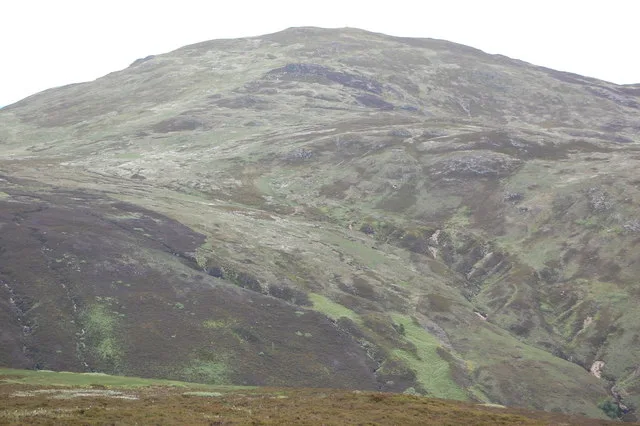 📷 3
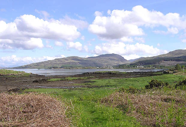 📷 5
Mountains & hills · Scottish Lowlands
Aros Bay
Aros Bay — bay on Islay, Argyll and Bute, Scotland, UK.
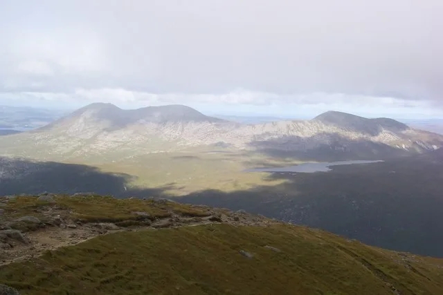 📷 3
Mountains & hills · Scottish Lowlands
Beinn Bharrain
Beinn Bharrain — Named summit at 717 m.
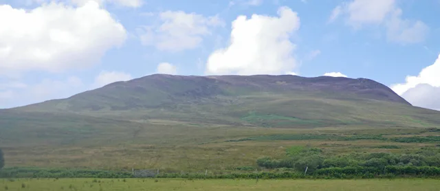 📷 5
Frequently asked questions
- Where is Lurgie Craigs?
- Lurgie Craigs is in the Scottish Lowlands, United Kingdom (postcode TD3 6LQ).
- What is Lurgie Craigs?
- Lurgie Craigs — mountain in scotland central. Elevation: 199 m.
- How do I get to Lurgie Craigs?
- The nearest town is Gordon. Drivers can use postcode TD3 6LQ.
- How do I get to Lurgie Craigs?
- Drivers can navigate to postcode TD3 6LQ. It sits within the Berwickshire, Roxburgh and Selkirk parliamentary constituency.