
Lakes · Northern Ireland
Lough Fea
In or near Straw.
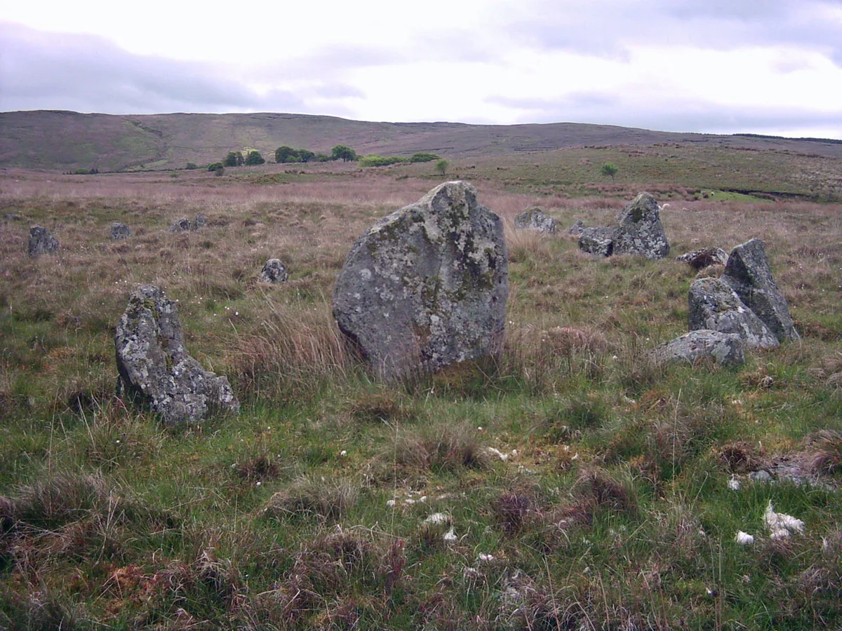
Lough Fea — a lake in northern ireland.

Kenneth Allen — CC BY-SA 2.0 via Wikimedia Commons licence

Plan your visit
- Typical visit
- 1 h–2 h
About
A British lake — freshwater body formed by glaciation, fluvial action or, where adjacent to populated areas, by deliberate damming.
Photo gallery
Place summary
Lough Fea is a lake located in Northern Ireland, within the BT80 postcode area. It is known for its natural beauty and provides a habitat for various wildlife. The surrounding area offers opportunities for walking and enjoying the landscape. Visitors can expect a tranquil environment ideal for relaxation and observation of nature.
AI-generated from the structured facts on this page (operator, designation, listing, era). Not a substitute for visiting.
- Coordinates
- 54.7167, -6.8333
- District
- Mid Ulster
- Postcode
- BT80 9TT
- Parliamentary constituency
- Mid Ulster
Sources
- manual: geonames-2649608 (CC BY 4.0)
Other places nearby

Fir Mountain
Mountains & hills · 0.8 km
Fir Mountain
Mountains & hills · 0.9 km

Ballynagilly neolithic site
Vineyards · 2.1 km

Giant's Grave (Callann)
Archaeological sites · 2.6 km
Ballybriest Dual Court Tomb
Archaeological sites · 2.7 km

Oughtmore
Mountains & hills · 3.6 km
Oughtmore
Mountains & hills · 3.7 km

Dunmore
Villages · 3.7 km

Beeleevnamore Mountain
Mountains & hills · 3.9 km

The Six Towns
Villages · 4.3 km

Davagh Forest Red Trail
Mountain bike trails · 4.4 km
Corick
Hill forts · 4.4 km
Nearby
📷 5Mountains & hills · Northern Ireland
Fir Mountain
Fir Mountain — mountain in northern ireland. Elevation: 362 m.
📷 5Mountains & hills · Northern Ireland
Fir Mountain
Fir Mountain — a hill or mountain in northern ireland.
📷 2Vineyards · Northern Ireland
Ballynagilly neolithic site
Ballynagilly neolithic site — a UK vineyard in northern ireland, producing English or Welsh wine from cool-climate grape varieties.
📷 3Archaeological sites · Northern Ireland
Giant's Grave (Callann)
Giant's Grave (Callann) — a archaeological in northern-ireland, United Kingdom.
📷 3Archaeological sites · Northern Ireland
Ballybriest Dual Court Tomb
Ballybriest Dual Court Tomb — a archaeological in northern-ireland, United Kingdom.
📷 5Mountains & hills · Northern Ireland
Oughtmore
Oughtmore — mountain in northern ireland. Elevation: 382 m.
Where to eat & stay near Lough Fea
Places to stay
 📷 5📷 5
Places to eat & drink
 📷 7
📷 7Historic pubs · Northern Ireland
1-3 High Street, Moneymore
1-3 High Street, Moneymore in Northern Ireland, United Kingdom.
More places in this region
 📷 5
📷 5 📷 5
📷 5 📷 5
📷 5Frequently asked questions
- Where is Lough Fea?
- Lough Fea is in Northern Ireland, United Kingdom (postcode BT80 9TT).
- What is Lough Fea?
- Lough Fea — a lake in northern ireland.
- How do I get to Lough Fea?
- Drivers can use postcode BT80 9TT.
- How do I get to Lough Fea?
- Drivers can navigate to postcode BT80 9TT. It sits within the Mid Ulster parliamentary constituency.