
Historic churches · West Midlands
Longmyndian Supergroup
In or near Diddlebury.
Longmyndian Supergroup in Wales Mid, United Kingdom.

David Robinson — CC BY-SA 2.0 via Wikimedia Commons licence

Plan your visit
- Typical visit
- 30 min–1 h
- Nearest railway station
- Church Stretton · 2.6 km
- Free entry
Getting there & planning your visit
To visit the Longmyndian Supergroup, the nearest railway station is Church Stretton, located 2.6 km away. Entry is free, and the postcode for sat-nav is SY6 6JG.
About
Longmyndian Supergroup is a place of interest in Wales Mid, United Kingdom — drawn from open-data sources for visitor reference. See the linked Wikipedia article for the full description.
Photo gallery
Protected designations
- Site of Special Scientific Interest: Long Mynd SSSI
- Area of Outstanding Natural Beauty: Shropshire Hills
Designations sourced from Natural England open data under OGL v3.
From the Wikipedia article
The Longmyndian Supergroup is a 6,000-metre-thick (20,000 ft) sequence of Ediacaran (late Precambrian) rocks that outcrop between the Pontesford–Linley Fault System and the Church Stretton Fault System in the Welsh Borderland Fault System of England and Wales. The supergroup consists of two major geological groups, the Stretton Group and the overlying Wentnor Group. The successions represented by these two groups have also been referred to as the Eastern Longymndian and Western Longmyndian respectively, forming as they do the bedrock of the east and west parts of the Long Mynd in Shropshire. The rocks are a generally regressive sequence from basinal facies to clastic sedimentation. The rocks are thought to be derived from Uriconian mountains that were formed during the southward subduction of an oceanic plate beneath a continental block (ocean closure). The rocks have since been folded due to fault movements and plunge gently to the south. The Longmyndian rocks were deposited in northeast–southwest trending faulted rift basins. These were deposited on top of the Uriconian volcaniclastic deposits. Subsequent ocean closure squeezed these rocks together to provide sub-vertical bedding in the synclinal sequence seen in exposed rocks today. The deposited rocks of the Longmyndian show a variety of depositional facies that tell a story of ocean closure. The Longmyndian deposits rest upon Uriconian rocks but different sections are exposed exclusively between the Church Stretton Fault and the Pontesford-Linley Lineament.
Excerpt from Wikipedia under CC BY-SA 4.0. See the source article linked in Sources below.
- Coordinates
- 52.5478, -2.8389
- District
- Shropshire
- Parish
- Church Stretton
- Postcode
- SY6 6JG
- Parliamentary constituency
- South Shropshire
- Nearest railway station
- Church Stretton — 2.6 km
Sources
- wikidata: Q6674147 (CC0)
- wikipedia: Longmyndian Supergroup (CC BY-SA 4.0)
Other places nearby
Long Mynd
National landscapes (AONB) · 0.0 km

Cow Ridge
Mountains & hills · 0.1 km

Light Spout
Waterfalls · 0.3 km

Haddon Hill
Mountains & hills · 0.8 km

Calf Ridge
Mountains & hills · 1.2 km

Shooting Box
Mountains & hills · 1.3 km

Bodbury Ring: a large univallate hillfort on the summit of Bodbury Hill.
Vineyards · 1.3 km
Bodbury Hill
Mountains & hills · 1.3 km

Yearlet
Mountains & hills · 1.3 km
Yearlet
Mountains & hills · 1.3 km

Long Synalds
Mountains & hills · 1.4 km

Burway Hill
Mountains & hills · 1.4 km
Nearby
📷 4National landscapes (AONB) · West Midlands
Long Mynd
The Long Mynd is a heath and moorland plateau that forms part of the Shropshire Hills in Shropshire, England. The high ground, which is common land and designated as a National Landscape, lies between
📷 5📷 5📷 5📷 5📷 5Mountains & hills · West Midlands
Shooting Box
Shooting Box — mountain in wales mid. Elevation: 487 m.
Where to eat & stay near Longmyndian Supergroup
Places to stay
 📷 5
📷 5Hostels · West Midlands
All Stretton Bunkhouse
All Stretton Bunkhouse — a hostel in wales mid.
 📷 5
📷 5B&Bs · West Midlands
Victoria House
Victoria House — a bed-and-breakfast in wales mid.
 📷 5
📷 5Campsites · West Midlands
Small Batch
Small Batch — a campsite in wales mid.
 📷 5
📷 5 📷 5
📷 5 📷 5
📷 5Campsites · West Midlands
Hamperley Camping
Hamperley Camping — a campsite in wales mid.
Places to eat & drink
 📷 5
📷 5Historic pubs · West Midlands
The Bucks Head Public House
The Bucks Head Public House in Wales Mid, United Kingdom.
 📷 5
📷 5 📷 7
📷 7Historic pubs · West Midlands
Yew Tree Inn Public House
Yew Tree Inn Public House in Wales North, United Kingdom.
 📷 5
📷 5 📷 5
📷 5 📷 7
📷 7Historic pubs · West Midlands
Swan Inn Public House
Swan Inn Public House in England West Midlands, United Kingdom.
More places in this region
 📷 3
📷 3Historic churches · West Midlands
Church of All Saints
Church of All Saints — Grade I listed church in King's Bromley, Staffordshire, England, UK.
 📷 3
📷 3Historic churches · West Midlands
Church of St Leonard, Blithfield
Church of St Leonard, Blithfield — Grade I listed church, Blithfield, United Kingdom.
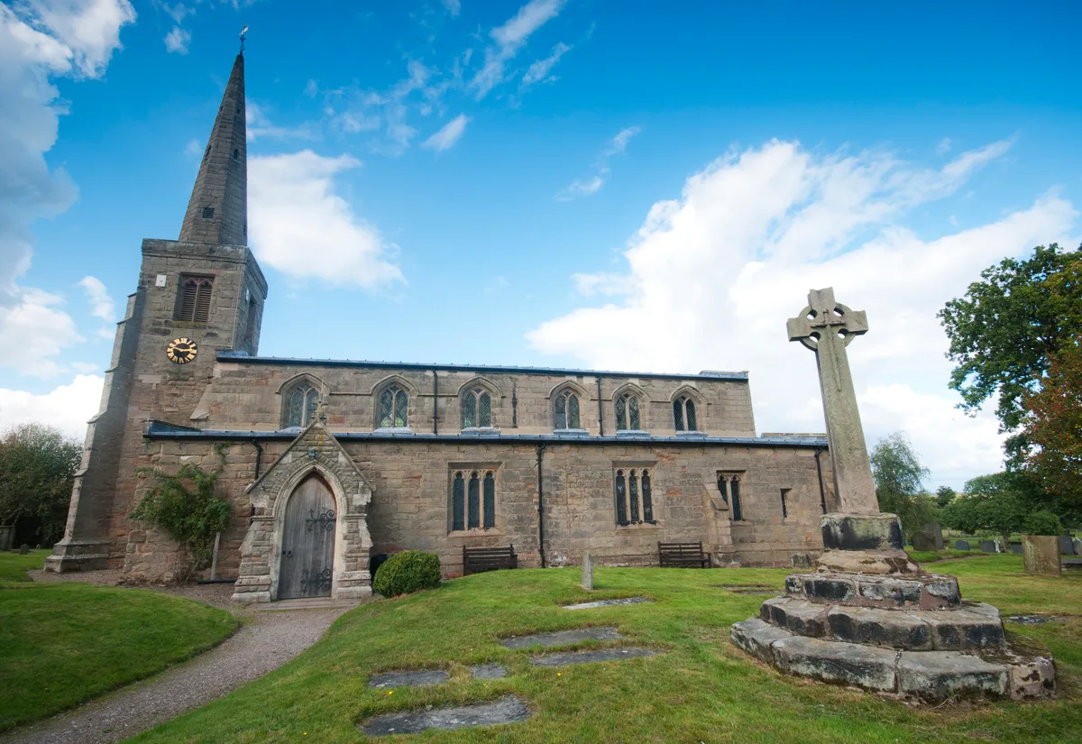 📷 3
📷 3Historic churches · West Midlands
Church of St Michael and All Angels, Hamstall Ridware
Church of St Michael and All Angels, Hamstall Ridware — church in Hamstall Ridware, Staffordshire, England, UK.
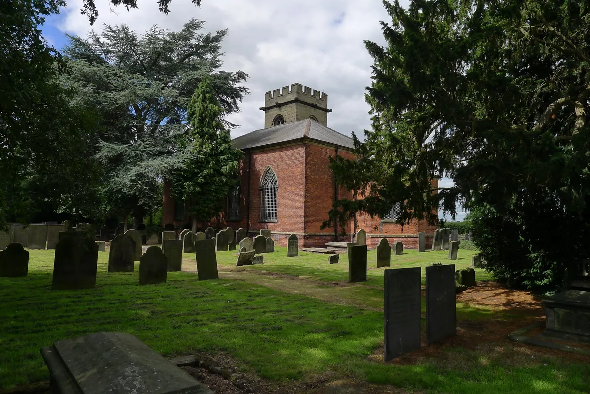 📷 5
📷 5Historic churches · West Midlands
Church of St Nicholas, Mavesyn Ridware
Church of St Nicholas, Mavesyn Ridware — church in Mavesyn Ridware, Staffordshire, England, UK.
Frequently asked questions
- Where is Longmyndian Supergroup?
- Longmyndian Supergroup is in Mid Wales, United Kingdom (postcode SY6 6JG), in the parish of Church Stretton.
- What is Longmyndian Supergroup?
- Longmyndian Supergroup in Wales Mid, United Kingdom.
- How do I get to Longmyndian Supergroup?
- The nearest railway station is Church Stretton, about 2.6 km away. Drivers can use postcode SY6 6JG.
- Is Longmyndian Supergroup a protected site?
- Yes — Longmyndian Supergroup is part of the Long Mynd SSSI Site of Special Scientific Interest and the Shropshire Hills National Landscape (AONB).
- Is Longmyndian Supergroup free to visit?
- Yes, Longmyndian Supergroup is free to enter.
- How do I get to Longmyndian Supergroup?
- The nearest railway station is Church Stretton, about 2.6 km away. Drivers can navigate to postcode SY6 6JG.