
Natural landmarks · North West England
Long Side
In or near Bassenthwaite.
Long Side — mountain in United Kingdom.

Wikimedia Commons contributors — see linked file page for photographer and licence licence

Plan your visit
- Typical visit
- 1 h–2 h
- Nearest railway station
- Threlkeld Quarry Station · 8.7 km
- Free entry
- Dog-friendly
Getting there & planning your visit
To visit Long Side in the Scottish Lowlands, the nearest railway station is Threlkeld Quarry Station, located 8.7 km away. Entry is free. The postcode for sat-nav is CA12 4QE.
About
Long Side is a named natural landmark in the United Kingdom. Wikidata describes it as: "mountain in United Kingdom". Coordinates: 54.6450°, -3.1650°.
Photo gallery
360° viewimagery from 2022
Imagery © Mapillary contributors, CC BY-SA 4.0
Protected designations
- Site of Special Scientific Interest: Skiddaw Group SSSI
- Site of Special Scientific Interest: River Derwent and Tributaries SSSI
Designations sourced from Natural England open data under OGL v3.
From the Wikipedia article
Long Side is a fell in the English Lake District, it is situated six kilometres north west of Keswick in the northern sector of the national park and is part of the Skiddaw group of fells. Long Side which reaches a height of 734 metres (2,408 ft) is located on Skiddaw’s north western ridge, the middle section of which is known as Longside Edge. Strictly speaking the actual summit of the fell is nameless with the name Long Side applying to the south western slope below the summit and is so marked on maps. The fell is often climbed by walkers on their way to the summit of Skiddaw, the route up the north west ridge which passes over Long Side is regarded as being the finest and quietest ascent of that 3,000-foot (910 m) mountain by guide book writers.
Excerpt from Wikipedia under CC BY-SA 4.0. See the source article linked in Sources below.
- Coordinates
- 54.6450, -3.1650
- District
- Cumberland
- Parish
- Bassenthwaite
- Postcode
- CA12 4QE
- Parliamentary constituency
- Penrith and Solway
- Nearest railway station
- Threlkeld Quarry Station — 8.7 km
Sources
- wikidata: Q6673242 (CC0)
- wikipedia: Long Side (CC BY-SA 4.0)
- commons: Long Side from Skiddaw 1.jpg (CC BY-SA 4.0)
Other places nearby
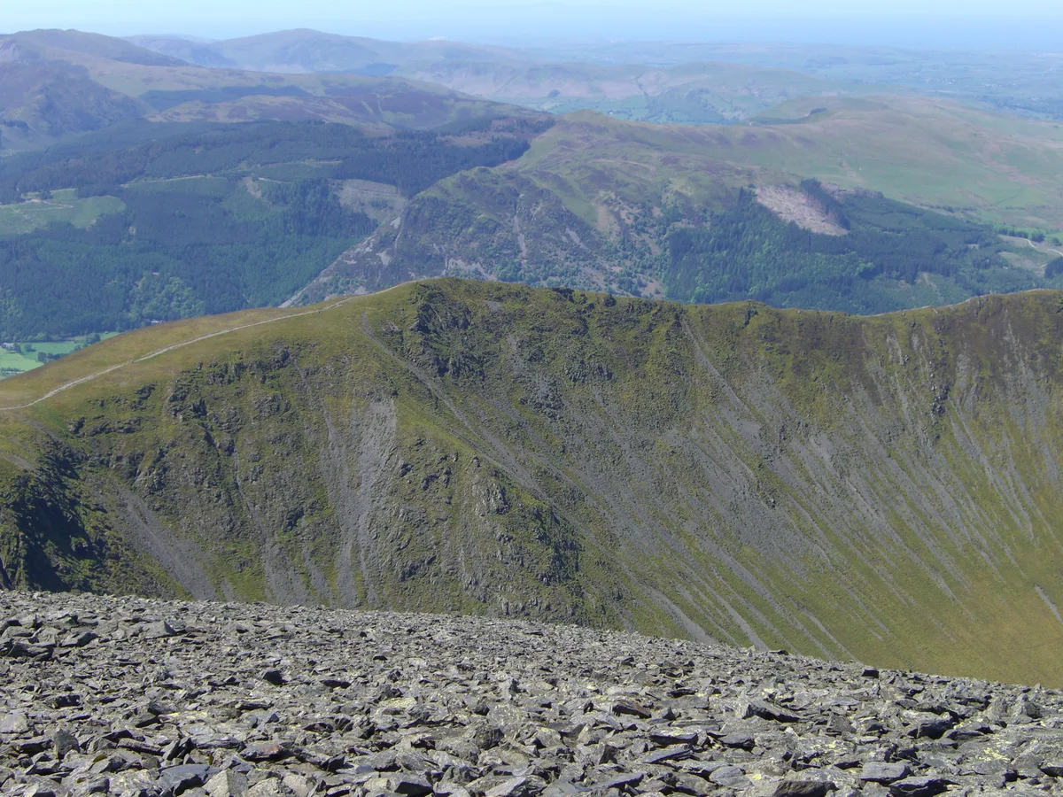
Long Side
Mountains & hills · 0.1 km
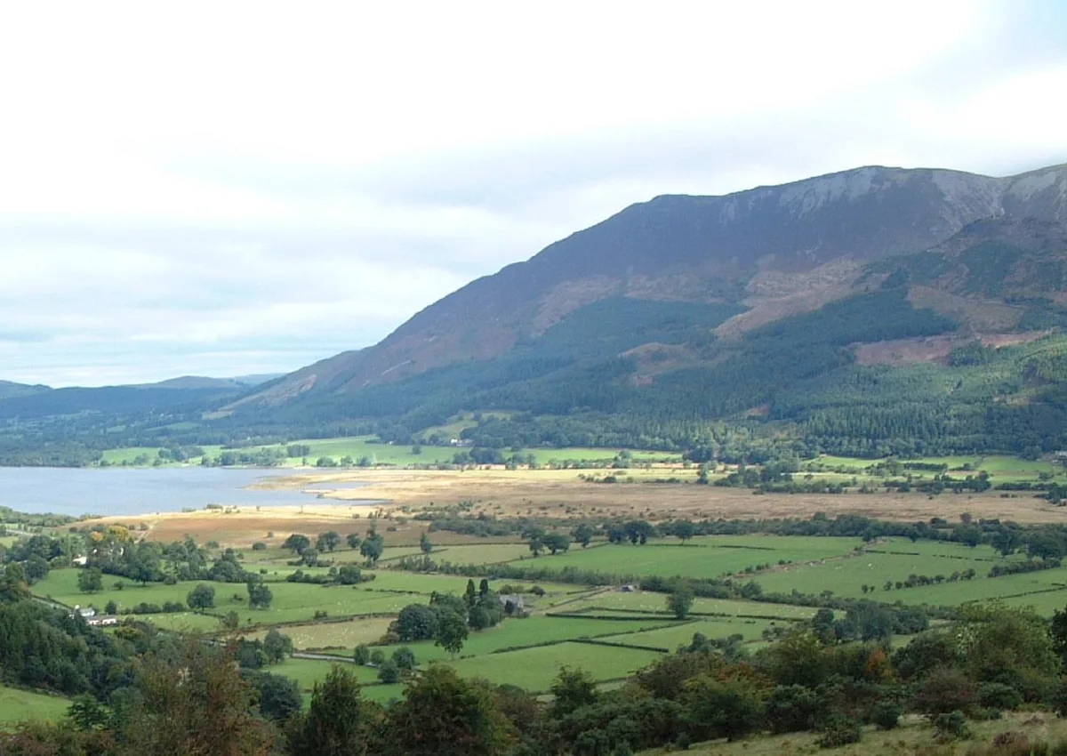
Ullock Pike
Mountains & hills · 0.6 km
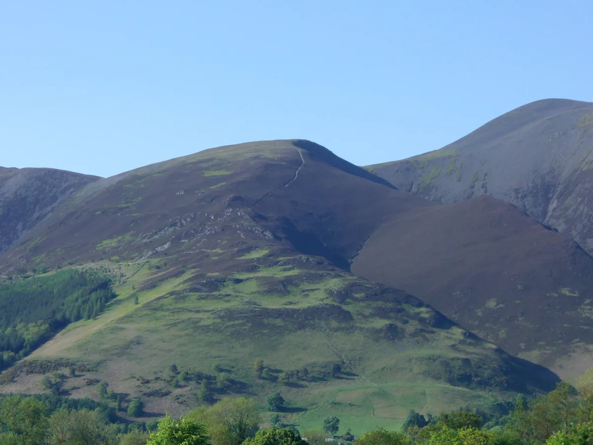
Carl Side
Mountains & hills · 0.6 km
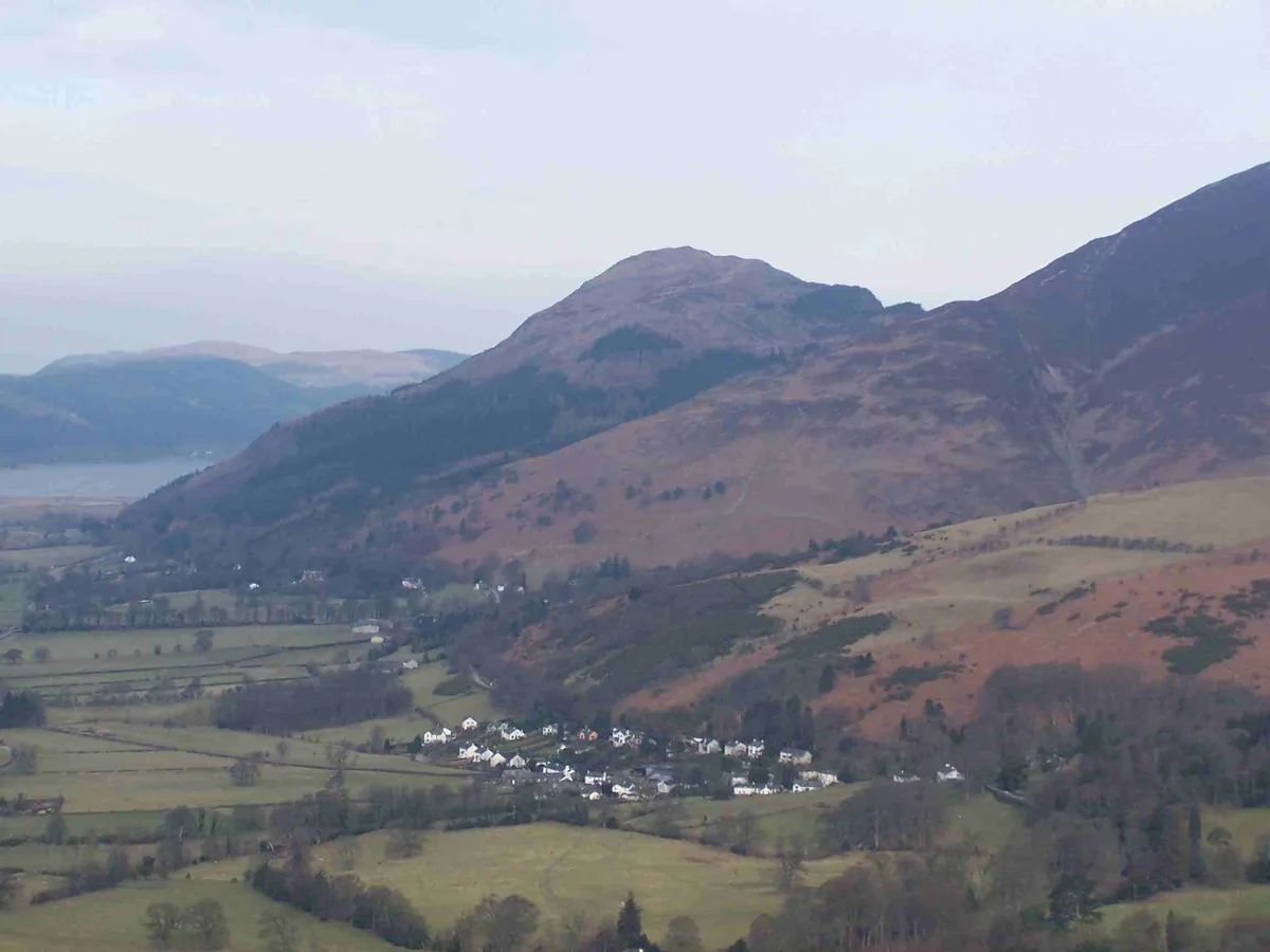
Dodd
Mountains & hills · 1.1 km

Dodd (Skiddaw)
Mountains & hills · 1.1 km

Skiddaw South Top
Mountains & hills · 1.1 km
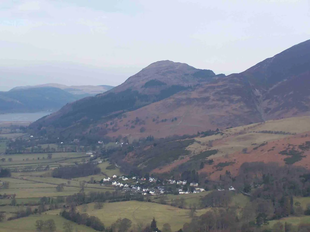
Dodd
Natural landmarks · 1.2 km
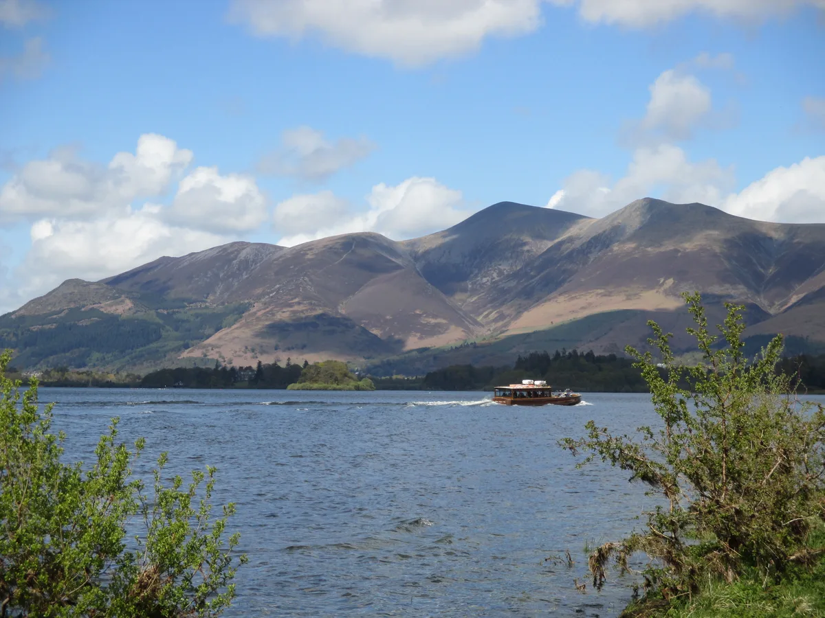
Skiddaw
Natural landmarks · 1.3 km
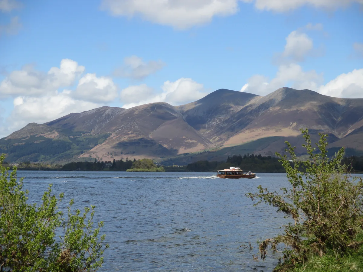
Skiddaw
Mountains & hills · 1.3 km

Osprey Watch
Viewpoints · 1.4 km

Mirehouse
Natural landmarks · 1.7 km
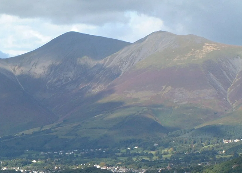
Skiddaw Little Man
Natural landmarks · 1.8 km
Nearby
📷 3📷 3📷 3📷 3📷 5Mountains & hills · North West England
Dodd (Skiddaw)
Dodd (Skiddaw) — a hill or mountain in scotland lowlands.
📷 5Mountains & hills · North West England
Skiddaw South Top
Skiddaw South Top — mountain in scotland lowlands. Elevation: 925.5 m.
Where to eat & stay near Long Side
Places to stay
 📷 5
📷 5Caravan parks · North West England
Bassenthwaite Lakeside Lodges
Bassenthwaite Lakeside Lodges — a caravan park in scotland lowlands.
 📷 5
📷 5Hostels · North West England
YHA Skiddaw Bunkhouse
YHA Skiddaw Bunkhouse — a hostel in scotland lowlands.
 📷 5
📷 5Caravan parks · North West England
Trafford Caravan Park
Trafford Caravan Park — a caravan park in scotland lowlands.
 📷 5📷 5
Caravan parks · North West England
Lanefoot Farm
Lanefoot Farm — a caravan park in scotland lowlands.
 📷 5
📷 5Caravan parks · North West England
High Close Holiday Homes
High Close Holiday Homes — a caravan park in scotland lowlands.
Places to eat & drink
 📷 5
📷 5 📷 7
📷 7Historic pubs · North West England
The Pheasant Inn
The Pheasant Inn in Scotland Lowlands, United Kingdom.
 📷 7
📷 7Cafés · North West England
Grange Bridge Cottage
Grange Bridge Cottage — a café in england north east.
 📷 4
📷 4Historic pubs · North West England
Oddfellows Arms
Oddfellows Arms — Historic pub — listed building or notable heritage status.
 📷 5
📷 5Historic pubs · North West England
Kings Arms Walter Willsons
Kings Arms Walter Willsons in Scotland Lowlands, United Kingdom.
 📷 5
📷 5Historic pubs · North West England
Horse And Farrier Inn And Stables
Horse And Farrier Inn And Stables in Scotland Lowlands, United Kingdom.
More natural landmarks in this region
 📷 3
📷 3Natural landmarks · North West England
Statue of Oliver Cromwell
Statue of Oliver Cromwell — Public artwork (statue).
 📷 3
📷 3Natural landmarks · North West England
Dagfields Craft Centre
Dagfields Craft Centre — a other in england-west-midlands, United Kingdom.
 📷 3
📷 3Natural landmarks · North West England
Weaver Valley Cruises
Weaver Valley Cruises — a other in england-west-midlands, United Kingdom.
 📷 3
📷 3Natural landmarks · North West England
Golden Gates
Golden Gates — a other in england-west-midlands, United Kingdom.
Frequently asked questions
- Where is Long Side?
- Long Side is in the Scottish Lowlands, United Kingdom (postcode CA12 4QE), in the parish of Bassenthwaite.
- What is Long Side?
- Long Side — mountain in United Kingdom.
- How do I get to Long Side?
- The nearest railway station is Threlkeld Quarry Station, about 8.7 km away. Drivers can use postcode CA12 4QE.
- Is Long Side a protected site?
- Yes — Long Side is part of the Skiddaw Group SSSI Site of Special Scientific Interest and the River Derwent and Tributaries SSSI Site of Special Scientific Interest.
- Is Long Side free to visit?
- Yes, Long Side is free to enter.
- How do I get to Long Side?
- Drivers can navigate to postcode CA12 4QE. It sits within the Penrith and Solway parliamentary constituency.