
Cemeteries · South West England
London Road Cemetery
In or near East Tytherton.
London Road Cemetery is a cemetery in the United Kingdom.

Jaggery — CC BY-SA 2.0 via Wikimedia Commons licence

Plan your visit
- Typical visit
- 30 min–1 h
- Nearest railway station
- Chippenham · 1.9 km
- Free entry
- Dog-friendly
About
London Road Cemetery is a cemetery in South-East England of architectural and local-history note. The site is within the Cotswolds National Landscape (AONB). It sits within the Chippenham parliamentary constituency. The nearest railway station is Chippenham, about 1.9 km away. Postcode area SN15.
Photo gallery
Official information
London Road Cemetery in Coventry is a historical site that offers visitors a glimpse into the city's past through its graves and memorials. It serves as a place of remembrance and reflection for those interested in local history and heritage.
Protected designations
- Area of Outstanding Natural Beauty: Cotswolds
Designations sourced from Natural England open data under OGL v3.
From the Wikipedia article
London Road Cemetery is a 17-hectare (42-acre) cemetery in Coventry, England, designed by Joseph Paxton and opened in 1847. It lies southeast of the city centre and is bisected by the West Coast main railway line between Coventry and Rugby, which pre-dates the cemetery and runs roughly west–east through it.
Excerpt from Wikipedia under CC BY-SA 4.0. See the source article linked in Sources below.
Background
History
Paxton was commissioned by the Coventry Cemetery Committee on 9 October 1845. The first superintendent, Paxton's protege Richard Ashwell, and his successors continued the programme of planting.
Architecture
A number of original buildings and structures survive. They were Grade II* listed as a group on 24 June 1974 and include:
Sourced from Wikipedia under CC BY-SA 4.0.
- Coordinates
- 51.4500, -2.0969
- District
- Wiltshire
- Parish
- Chippenham
- Postcode
- SN15 3RD
- Parliamentary constituency
- Chippenham
- Established
- 1847
- Nearest railway station
- Chippenham — 1.9 km
- Official site
- www.lrcemetery.co.uk
Sources
- osm: w35133752 (ODbL)
- wikipedia: London Road Cemetery (CC BY-SA 4.0)
Other places nearby

The Pack Horse And Attached Stable Block
Historic pubs · 0.6 km

The Three Crowns Public House
Historic pubs · 1.1 km

Zealys House
Historic houses · 1.3 km
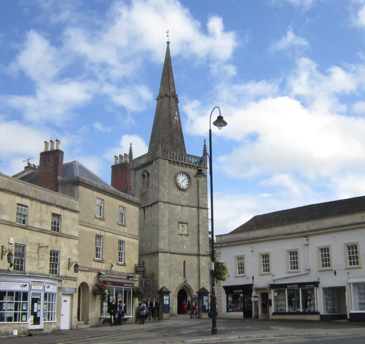
Church of St Andrew
Historic churches · 1.4 km

Chippenham War Memorial
Memorials & monuments · 1.4 km

Classic Chippenham
Theatres · 1.5 km

The Bear
Hotels · 1.5 km

Chippenham Museum & Heritage Centre
Museums · 1.5 km

The Angel
Hotels · 1.5 km

Old Baptist Chapel
Chapels · 1.6 km

Millenium Wall - East
Public art & sculpture · 1.6 km
Millenium Wall - West
Public art & sculpture · 1.6 km
Nearby
📷 7Historic pubs · South West England
The Pack Horse And Attached Stable Block
The Pack Horse And Attached Stable Block in England South West, United Kingdom.
📷 5Historic pubs · South West England
The Three Crowns Public House
The Three Crowns Public House in England South West, United Kingdom.
📷 5Historic houses · South West England
Zealys House
Zealys House — house in Chippenham, Wiltshire, England, UK.
📷 5Historic churches · South West England
Church of St Andrew
Church of St Andrew — church in Chippenham, United Kingdom.
📷 5Memorials & monuments · South West England
Chippenham War Memorial
Chippenham War Memorial — Grade II listed building-listed memorial in england-south-east, United Kingdom.
📷 3Theatres · South West England
Classic Chippenham
Classic Chippenham in England South West, United Kingdom.
Where to eat & stay near London Road Cemetery
Places to stay
📷 7📷 5Hotels · South West England
The Angel
The Angel — a hotel in england south east.
 📷 5
📷 5Hotels · South West England
At the Sign of the Angel
At the Sign of the Angel — a hotel in england south east.
 📷 5
📷 5Caravan parks · South West England
Plough Lane Caravan Site
Plough Lane Caravan Site — a caravan park in england south east.
 📷 5
📷 5Campsites · South West England
Piccadilly Caravan Park
Piccadilly Caravan Park — a campsite in england south east.
 📷 7
📷 7Hotels · South West England
Lansdowne Strand Hotel
Lansdowne Strand Hotel — a hotel in england south east.
Places to eat & drink
📷 7Historic pubs · South West England
The Pack Horse And Attached Stable Block
The Pack Horse And Attached Stable Block in England South West, United Kingdom.
📷 5Historic pubs · South West England
The Three Crowns Public House
The Three Crowns Public House in England South West, United Kingdom.
 📷 5
📷 5Historic pubs · South West England
Old Road Tavern
Old Road Tavern in England South West, United Kingdom.
 📷 7
📷 7Historic pubs · South West England
The Pheasant Public House
The Pheasant Public House in England South West, United Kingdom.
 📷 7
📷 7Historic pubs · South West England
The Cross Keys Inn
The Cross Keys Inn in England South West, United Kingdom.
 📷 5
📷 5Historic pubs · South West England
Bricklayers Arms Public House
Bricklayers Arms Public House in England South West, United Kingdom.
More cemeteries in this region
.jpg?width=1200) 📷 5
📷 5Cemeteries · South West England
Bath Abbey Cemetery
Bath Abbey Cemetery is a cemetery in the United Kingdom.
 📷 5
📷 5Cemeteries · South West England
Bath Jewish Burial Ground
Bath Jewish Burial Ground is a cemetery in the United Kingdom.
 📷 5
📷 5Cemeteries · South West England
Bath Natural Burial Meadow
Bath Natural Burial Meadow is a cemetery in the United Kingdom.
 📷 5
📷 5Cemeteries · South West England
Bath Union Workhouse Burial Ground
Bath Union Workhouse Burial Ground is a cemetery in the United Kingdom.
Frequently asked questions
- Where is London Road Cemetery?
- London Road Cemetery is in South-West England, United Kingdom (postcode SN15 3RD), in the parish of Chippenham.
- What is London Road Cemetery?
- London Road Cemetery is a cemetery in the United Kingdom.
- How do I get to London Road Cemetery?
- The nearest railway station is Chippenham, about 1.9 km away. The nearest town is East Tytherton. Drivers can use postcode SN15 3RD.
- When was London Road Cemetery built?
- Built or established in 1847.
- Who owns London Road Cemetery?
- London Road Cemetery is owned by | size = 17.
- Is London Road Cemetery a protected site?
- Yes — London Road Cemetery is part of the Cotswolds National Landscape (AONB).
- Is London Road Cemetery free to visit?
- Yes, London Road Cemetery is free to enter.
- How do I get to London Road Cemetery?
- The nearest railway station is Chippenham, about 1.9 km away. Drivers can navigate to postcode SN15 3RD.