
Reservoirs & lochs · North Wales
Llyn-y-foel
In or near Capel Garmon.
Llyn-y-foel — lake in the United Kingdom.

Wikimedia Commons contributors — see linked file page for photographer and licence licence

Plan your visit
- Typical visit
- 1 h–2.5 h
- Nearest railway station
- Roman Bridge · 3.2 km
- Free entry
- Dog-friendly
Getting there & planning your visit
To visit Llyn-y-foel, the nearest railway station is Roman Bridge, located 3.2 km away. Admission is free.
About
Llyn-y-foel is a reservoir in the United Kingdom. Managed by Allied Hydro Power. Wikidata describes it as: "lake in the United Kingdom". Coordinates: 53.0731°, -3.9195°.
Photo gallery
From the Wikipedia article
Llyn-y-Foel (Welsh for 'lake of the mountain') is a lake in Snowdonia, Wales. It is approximately 240 m across, 120 m wide and up to 2 m deep. It lies at 535m altitude at the foot of the main ridge of Moel Siabod at grid reference SH 714 547. The main outflow, at the south-east of the lake, forms one of the main tributaries of Afon Ystumiau, which eventually feeds into Afon Lledr and subsequently into Afon Conwy. The deep brown colour of the water, caused by the peat in the immediate area, gives rise to a unique type of brown trout which can only be found in this lake. Although the lake bears the name Llyn y Foel, it does have another name - Llyn Llygad yr Ych, the Lake of the Ox's Eye - which recounts a tale about an ox that lost an eye under the strain of pulling the dreadful afanc from Betws y Coed to Glaslyn below Snowdon. See Perrin, Jim. Visions of Snowdonia (London: BBC Books, 1997) ISBN 0-563-38302-X.
Excerpt from Wikipedia under CC BY-SA 4.0. See the source article linked in Sources below.
- Coordinates
- 53.0731, -3.9195
- Address
- Snowdonia, Wales
- Nearest railway station
- Roman Bridge — 3.2 km
Sources
- wikidata: Q3403797 (CC0)
- wikipedia: Llyn-y-Foel (CC BY-SA 4.0)
- commons: Llyn y Foel, below Moel Siabod - geograph.org.uk - 19066.jpg (CC BY-SA 4.0)
Other places nearby
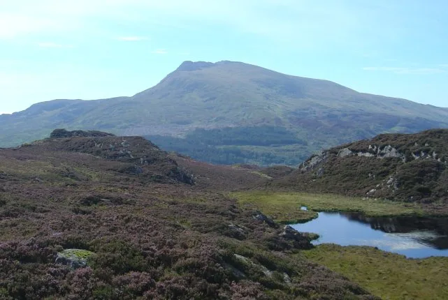
Moel Siabod
Natural landmarks · 0.9 km
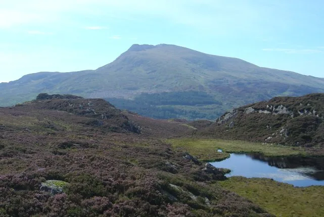
Moel Siabod
Mountains & hills · 1.0 km

Moel Gid
Mountains & hills · 1.9 km

Rhos quarry
Quarries · 2.2 km

Clogwyn Dolwyddelan
Mountains & hills · 2.3 km

Bryn Tirion Farm
Hostels · 2.3 km
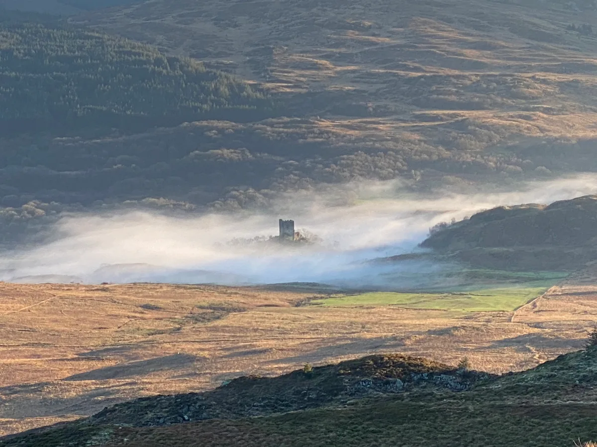
Dolwyddelan Castle
Castles · 2.4 km

Castell Dolwyddelan
Castles · 2.4 km

Bryn Tirion Farm
Campsites · 2.4 km

Tan-y-Castell Monument
Memorials & monuments · 2.4 km

Clogwyn Mawr y Ffridd
Mountains & hills · 2.5 km
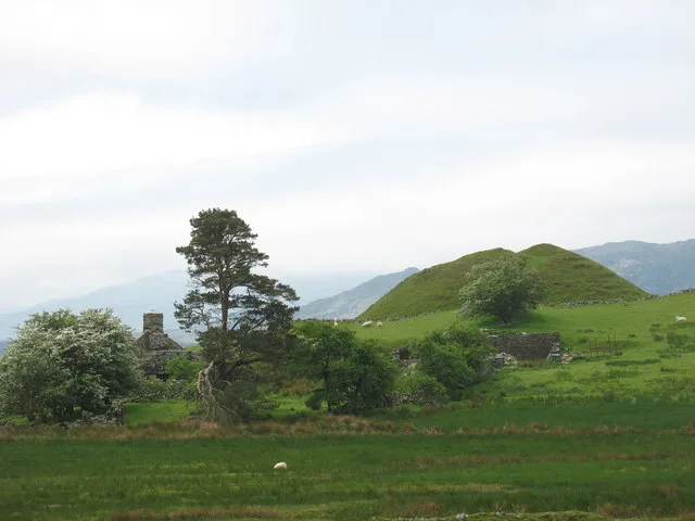
Tomen y Castell
Castles · 2.6 km
Nearby
📷 5Natural landmarks · North Wales
Moel Siabod
Moel Siabod — mountain (872.2m) in Conwy County Borough.
📷 5📷 5📷 3Quarries · North Wales
Rhos quarry
Rhos quarry — Slate quarry near Pont Cyfyng, Conwy County Borough, Wales, United Kingdom.
📷 3Mountains & hills · North Wales
Clogwyn Dolwyddelan
Clogwyn Dolwyddelan — a mountain in wales-north, United Kingdom, 283 m.
📷 5Hostels · North Wales
Bryn Tirion Farm
Bryn Tirion Farm — a hostel in wales north.
Where to eat & stay near Llyn-y-foel
Places to stay
📷 5Hostels · North Wales
Bryn Tirion Farm
Bryn Tirion Farm — a hostel in wales north.
📷 5Campsites · North Wales
Bryn Tirion Farm
Bryn Tirion Farm — a campsite in wales north.
 📷 5
📷 5Campsites · North Wales
Garth Farm
Garth Farm — a campsite in wales north.
 📷 7
📷 7 📷 5
📷 5 📷 7
📷 7Places to eat & drink
 📷 5
📷 5 📷 7
📷 7Restaurants · North Wales
Tafarn Tryfan
Tafarn Tryfan — a restaurant in wales north.
 📷 7📷 7
 📷 7
📷 7 📷 7
📷 7More places run by Allied Hydro Power
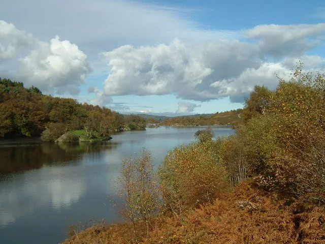 📷 3
📷 3More places in this region
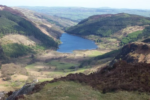 Flagship📷 4
Reservoirs & lochs · North Wales
Llyn Crafnant
Llyn Crafnant — lake in Conwy County Borough, Wales.
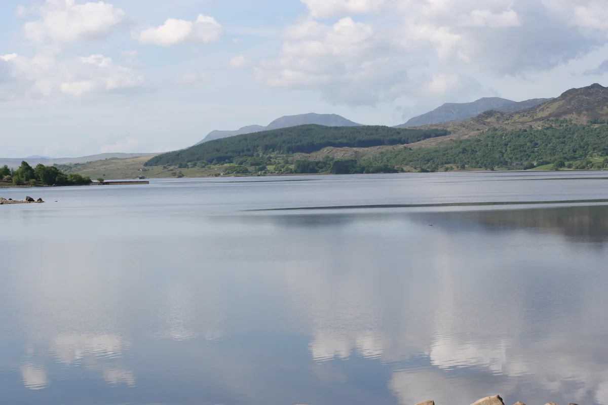 Flagship📷 3
Reservoirs & lochs · North Wales
Llyn Trawsfynydd
Llyn Trawsfynydd — reservoir lake in Gwynedd, Wales.
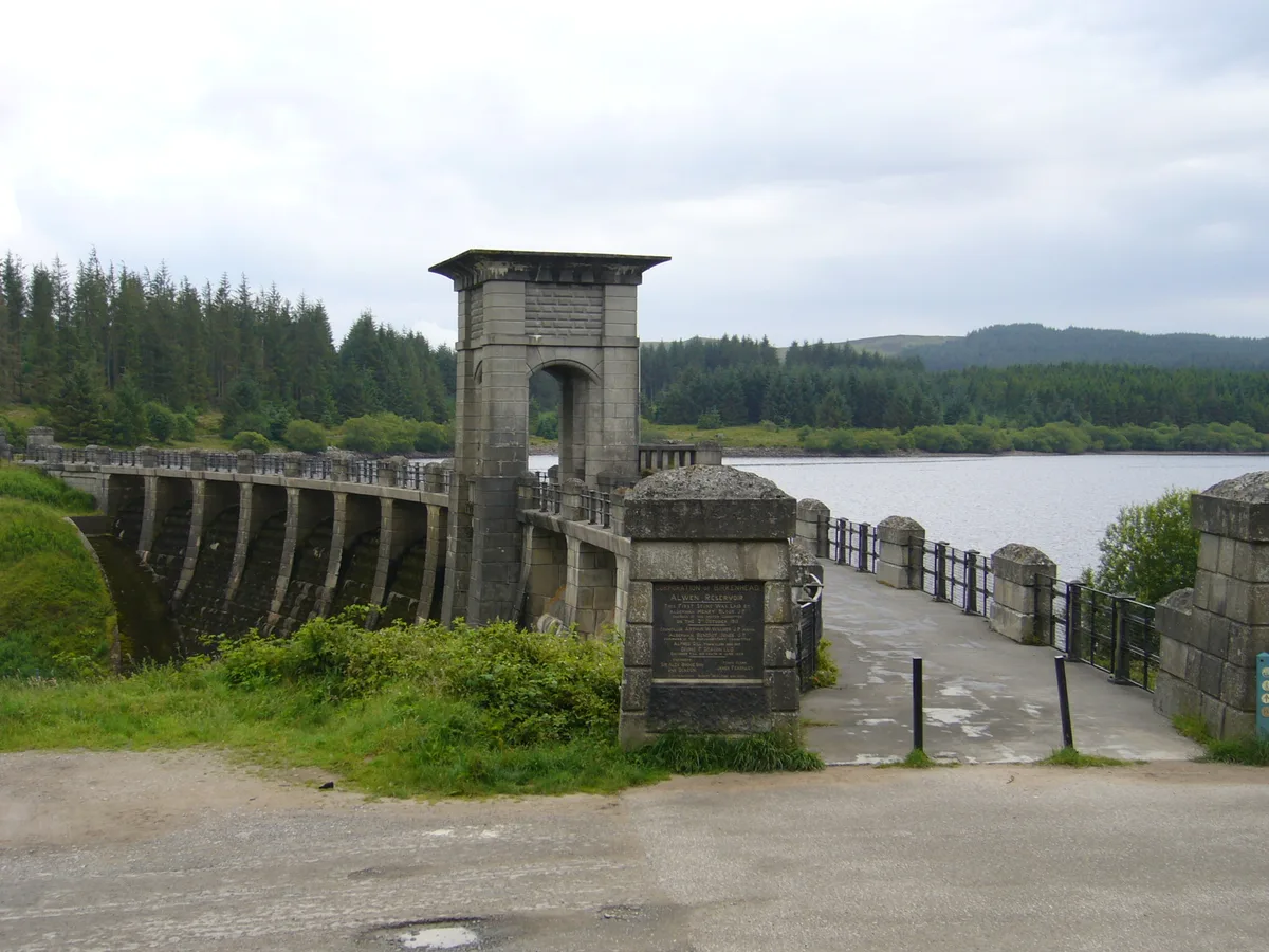 📷 3
📷 3Reservoirs & lochs · North Wales
Alwen Reservoir
Alwen Reservoir — reservoir in the United Kingdom.
 📷 4
📷 4Reservoirs & lochs · North Wales
Coedty Reservoir
Coedty Reservoir — reservoir in the United Kingdom.
Frequently asked questions
- Where is Llyn-y-foel?
- Llyn-y-foel is in North Wales, United Kingdom.
- What is Llyn-y-foel?
- Llyn-y-foel — lake in the United Kingdom.
- How do I get to Llyn-y-foel?
- The nearest railway station is Roman Bridge, about 3.2 km away. The nearest town is Capel Garmon. Its coordinates are 53.0731°, -3.9195°.
- Who runs Llyn-y-foel?
- Llyn-y-foel is operated by Allied Hydro Power.
- Is Llyn-y-foel free to visit?
- Yes, Llyn-y-foel is free to enter.
- How do I get to Llyn-y-foel?
- The nearest railway station is Roman Bridge, about 3.2 km away.