Natural landmarks · Mid Wales
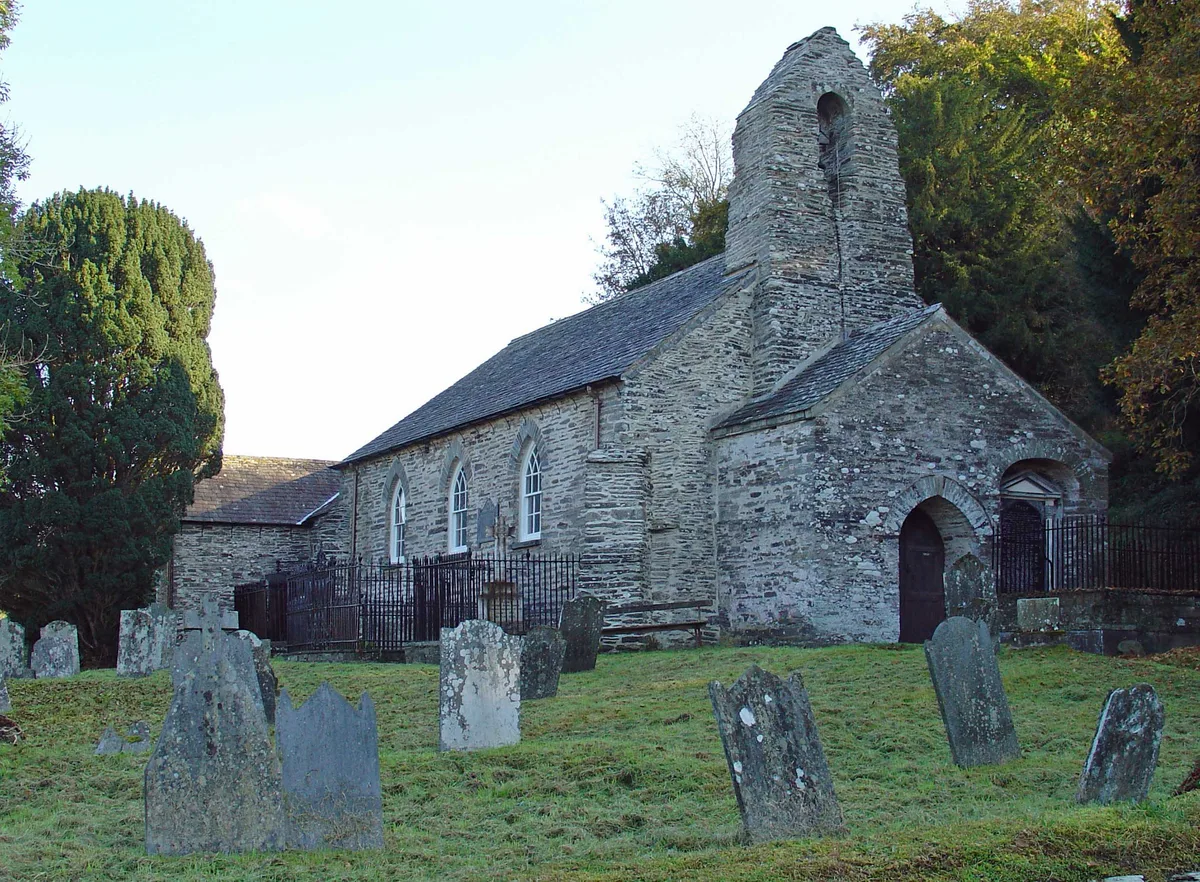
Llechryd
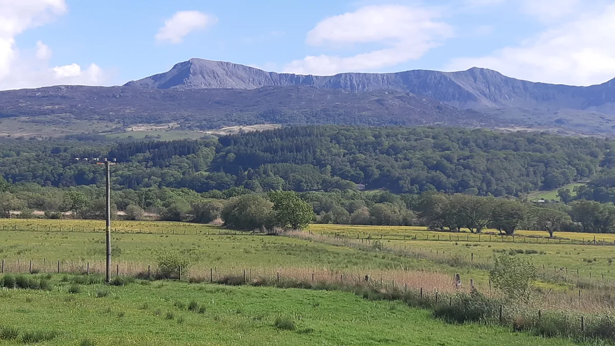
In or near Aberporth.
Llechryd in Wales Mid, United Kingdom.

ceridwen — CC BY-SA 2.0 via Wikimedia Commons licence
Plan your visit
- Typical visit
- 1 h–2 h
- Free entry
- Dog-friendly
About
Llechryd is a place of interest in Wales Mid, United Kingdom — drawn from open-data sources for visitor reference. See the linked Wikipedia article for the full description.
Photo gallery
Heritage listing
http://cadwpublic-api.azurewebsites.net/reports/listedbuilding/FullReport?lang=en&id=161
From Cadw under OGL v3.
From the Wikipedia article
Llechryd (Welsh pronunciation: [ɬɛxrɪd]) is a rural village on the A484 road approximately 3 miles (4.8 km) from Cardigan, Ceredigion, Wales. Situated on the north bank of the tidal River Teifi, Llechryd is the first point upstream of Cardigan where crossing is possible. Most of the village has developed along the A484, with some estates branching off into the valley. It is part of the Community of Llangoedmor.
Excerpt from Wikipedia under CC BY-SA 4.0. See the source article linked in Sources below.
Background
History
A battle was fought in or near the village in 1087 between Rhys ap Tewdwr and the sons of Bleddin ab Cynfyn. In 1844, during the Rebecca Riots, the weir across the Teifi built to prevent salmon from going upstream was demolished by rioters. A weir is still evident at this spot. In March 2006, staff from the Survey Branch of RCAHMW carried out survey and analysis of the Castell Malgwyn Tinplate works. The Teifi is tidal and used to be navigable by lighters as far as Llechryd. During the 1840s, careless working of the slate quarries resulted in a severe choking of the Cilgerran Gorge, causing the flooding for which the area is now known, and the moving of the navigable tidal limit (in all but…
Sourced from Wikipedia under CC BY-SA 4.0.
- Coordinates
- 52.0600, -4.6000
- District
- Ceredigion
- Parish
- Llangoedmor
- Postcode
- SA43 2NU
- Parliamentary constituency
- Ceredigion Preseli
Sources
Other places nearby

Castle Malgwyn Bridge
Historic bridges · 0.2 km

Llechryd Bridge
Historic bridges · 0.3 km

Holy Cross
Memorials & monuments · 0.3 km

Yr Hen Gapel, A484 (W Side) Llechryd
Chapels · 0.5 km

Castell Maelgwyn
Literary houses · 0.5 km

7 Stars
Restaurants · 0.5 km

Castell Malgwyn
Castles · 0.6 km

Llwynadda Chapel
Chapels · 0.7 km

Manordeifi
Villages · 0.9 km
Manordeifi Old Church
Historic churches · 1.0 km

Llechryd
Villages · 1.0 km

Tom Mathias Museum
Museums · 1.3 km
Nearby
📷 5Historic bridges · Mid Wales
Castle Malgwyn Bridge
Castle Malgwyn Bridge — scheduled monument-listed bridge in wales-mid, United Kingdom.
📷 3Historic bridges · Mid Wales
Llechryd Bridge
Llechryd Bridge is a historic bridge in the United Kingdom.
📷 3Memorials & monuments · Mid Wales
Holy Cross
Holy Cross — a memorial in wales-mid, United Kingdom.
📷 3Chapels · Mid Wales
Yr Hen Gapel, A484 (W Side) Llechryd
Yr Hen Gapel, A484 (W Side) Llechryd — Situated on E side of lane running S from main road at Seven Stars Inn in village.
📷 5Literary houses · Mid Wales
Castell Maelgwyn
Castell Maelgwyn — a literary house museum in wales mid.
📷 5Where to eat & stay near Llechryd
Places to stay
 📷 5
📷 5 📷 5
📷 5Caravan parks · Mid Wales
Cardigan Caravan and Camping Site
Cardigan Caravan and Camping Site — a caravan park in wales mid.
 📷 5
📷 5Caravan parks · Mid Wales
Cardigan Camping and Caravan Site
Cardigan Camping and Caravan Site — a caravan park in wales mid.
 📷 5
📷 5 📷 5
📷 5 📷 5
📷 5Campsites · Mid Wales
Cenarth Falls Holiday Park
Cenarth Falls Holiday Park — a campsite in wales mid.
Places to eat & drink
📷 5 📷 3
📷 3Historic pubs · Mid Wales
The Pendre Inn
The Pendre Inn — Historic pub — listed building or notable heritage status.
 📷 4
📷 4Historic pubs · Mid Wales
Cardiff Arms
Cardiff Arms — Historic pub — listed building or notable heritage status.
 📷 5
📷 5Restaurants · Mid Wales
Fusion Bar and Restaurant
Fusion Bar and Restaurant — a restaurant in wales mid.
 📷 3
📷 3Historic pubs · Mid Wales
Bar 45
Bar 45 — Historic pub — listed building or notable heritage status.
 📷 5
📷 5Historic pubs · Mid Wales
The Grosvenor
The Grosvenor — Historic pub — listed building or notable heritage status.
More natural landmarks in this region
 📷 3
📷 3 📷 3
📷 3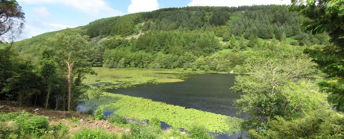 📷 3
📷 3Natural landmarks · Mid Wales
Llyn Gwernan
Llyn Gwernan is a natural landmark in the United Kingdom.
 📷 3
📷 3Frequently asked questions
- Where is Llechryd?
- Llechryd is in Mid Wales, United Kingdom (postcode SA43 2NU), in the parish of Llangoedmor.
- What is Llechryd?
- Llechryd in Wales Mid, United Kingdom.
- How do I get to Llechryd?
- Drivers can use postcode SA43 2NU.
- Is Llechryd a listed building?
- Llechryd is officially recognised as II listed.
- Is Llechryd free to visit?
- Yes, Llechryd is free to enter.
- How do I get to Llechryd?
- Drivers can navigate to postcode SA43 2NU. It sits within the Ceredigion Preseli parliamentary constituency.