Forests & woodlands · North Wales
Llandegla Forest
In or near Rhosllanerchrugog.
Llandegla Forest (Welsh: Coed Llandegla) is a forest of planted conifers covering 2.5 sq miles (6.5 km2) in Denbighshire, north-east Wales. It is situated to the south-east of the village of Llandegla

John Haynes — CC BY-SA 2.0 via Wikimedia Commons licence
Plan your visit
- Typical visit
- 1 h–3 h
- Nearest railway station
- Gwersyllt · 8.5 km
- Free entry
- Family-friendly
- Dog-friendly
Getting there & planning your visit
Llandegla Forest is located in North Wales, with the nearest railway station being Gwersyllt, 8.5 km away. The postcode for sat-nav is LL11 5UL, and entry to the forest is free.
About
Llandegla Forest (Welsh: Coed Llandegla) is a forest of planted conifers covering 2.5 sq miles (6.5 km2) in Denbighshire, north-east Wales. It is situated to the south-east of the village of Llandegla at the north-western edge of Ruabon Moors. Only 20 miles from Chester (in England) and 7 miles west of Wrexham, easily accessed via the A525 towards Ruthin. The forest is owned by UPM Tilhill and planting began in the early 1970s. The trees are mostly Sitka Spruce with a smaller area of larch. In the middle of the forest lies Pendinas Reservoir (Welsh: Llyn Pendinas). It was constructed in the late 19th century by Brymbo Water Company to provide water for the local area. It is currently managed by Dee Valley Water. The forest is used for a range of recreational activities including mountain-biking and walking. The Offa's Dyke Path, a long-distance footpath, passes through the forest. Fishing activity takes place at the reservoir. The forest and adjacent moorland are important habitats for the Black Grouse which is declining in many parts of England and Wales. The birds are increasing here due to a programme of special land management. A bird hide has been constructed overlooking the birds' lekking to allow visitors to watch them.
Photo gallery
From the Wikipedia article
Llandegla Forest (Welsh: Coed Llandegla) is a forest of planted conifers covering 2.5 sq miles (6.5 km2) in Denbighshire, north-east Wales. It is situated to the south-east of the village of Llandegla at the north-western edge of Ruabon Moors. Only 20 miles from Chester (in England) and 7 miles west of Wrexham, easily accessed via the A525 towards Ruthin. The forest is owned by UPM Tilhill and planting began in the early 1970s. The trees are mostly Sitka Spruce with a smaller area of larch. In the middle of the forest lies Pendinas Reservoir (Welsh: Llyn Pendinas). It was constructed in the late 19th century by Brymbo Water Company to provide water for the local area. It is currently managed by Dee Valley Water. The forest is used for a range of recreational activities including mountain-biking and walking. The Offa's Dyke Path, a long-distance footpath, passes through the forest. Fishing activity takes place at the reservoir. The forest and adjacent moorland are important habitats for the Black Grouse which is declining in many parts of England and Wales. The birds are increasing here due to a programme of special land management. A bird hide has been constructed overlooking the birds' lekking to allow visitors to watch them.
Excerpt from Wikipedia under CC BY-SA 4.0. See the source article linked in Sources below.
- Coordinates
- 53.0580, -3.1420
- District
- Wrexham
- Parish
- Minera
- Postcode
- LL11 5UL
- Parliamentary constituency
- Wrexham
- Nearest railway station
- Gwersyllt — 8.5 km
Sources
- wikipedia: Llandegla Forest (CC BY-SA 4.0)
Other places nearby

Llyn Pendinas
Reservoirs & lochs · 0.1 km

Green Route
Mountain bike trails · 0.3 km

Bird Hide
Viewpoints · 0.8 km

Blue Route
Mountain bike trails · 1.1 km

Red Route
Mountain bike trails · 1.5 km

Nant-y-Ffrith Reservoir
Reservoirs & lochs · 1.5 km

Black Route
Mountain bike trails · 1.6 km

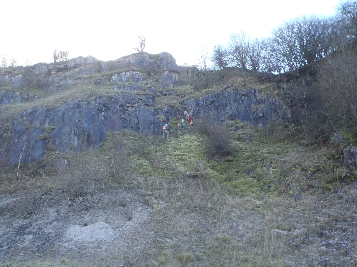
Minera Quarry Nature Reserve
Quarries · 1.6 km
Ogof Llyn Parc
Mountains & hills · 1.8 km

Cyrn-y-Brain
Mountains & hills · 1.9 km

Minera Union Horse Whim Circle
Historic houses · 1.9 km
Ogof Dydd Byraf
Mountains & hills · 1.9 km
Nearby
📷 3📷 5📷 5📷 5📷 5📷 3Reservoirs & lochs · North Wales
Nant-y-Ffrith Reservoir
Nant-y-Ffrith Reservoir — reservoir in Denbighshire, Wales, United Kingdom.
Where to eat & stay near Llandegla Forest
Places to stay
 📷 5
📷 5 📷 5
📷 5 📷 5
📷 5 📷 5
📷 5 📷 5
📷 5 📷 7
📷 7Hotels · North Wales
Chain Bridge Hotel
Chain Bridge Hotel — a hotel in wales north.
Places to eat & drink
 📷 5
📷 5 📷 7
📷 7 📷 7
📷 7 📷 5
📷 5 📷 5
📷 5Cafés · North Wales
Chapel Tearoom
Chapel Tearoom — a café in wales north.
 📷 2
📷 2More forests in this region
 📷 4
📷 4Forests & woodlands · North Wales
Ceunant Llennyrch National Nature Reserve
Ceunant Llennyrch National Nature Reserve is a forest or woodland in the United Kingdom.
 📷 3
📷 3Forests & woodlands · North Wales
Coed Camlyn National Nature Reserve
Coed Camlyn National Nature Reserve is a forest or woodland in the United Kingdom.
 📷 3
📷 3Forests & woodlands · North Wales
Coed Ganllwyd National Nature Reserve
Coed Ganllwyd National Nature Reserve is a forest or woodland in the United Kingdom.
 📷 3
📷 3Forests & woodlands · North Wales
Coed Ganllwyd National Nature Reserve
Coed Ganllwyd National Nature Reserve is a forest or woodland in the United Kingdom.
Frequently asked questions
- Where is Llandegla Forest?
- Llandegla Forest is in North Wales, United Kingdom (postcode LL11 5UL), in the parish of Minera.
- What is Llandegla Forest?
- Llandegla Forest (Welsh: Coed Llandegla) is a forest of planted conifers covering 2.5 sq miles (6.5 km2) in Denbighshire, north-east Wales. It is situated to the south-east of the village of Llandegla
- How do I get to Llandegla Forest?
- The nearest railway station is Gwersyllt, about 8.5 km away. Drivers can use postcode LL11 5UL.
- Is Llandegla Forest free to visit?
- Yes, Llandegla Forest is free to enter.
- How do I get to Llandegla Forest?
- Drivers can navigate to postcode LL11 5UL. It sits within the Wrexham parliamentary constituency.