
Villages · Mid Wales
Llanbadarn-fynydd
In or near Mochdre.
Llanbadarn-fynydd — a village in wales mid.

Peter Wood — CC BY-SA 2.0 via Wikimedia Commons licence

Plan your visit
- Typical visit
- 1 h–2 h
- Nearest railway station
- Llanbister Road · 8.8 km
About
A British village — settlements of this size traditionally cluster a green, parish church, pub and post office around historic land routes.
Photo gallery
Place summary
Llanbadarn-fynydd is a village located in Mid Wales, within the parish of Llanbadarn Fynydd. The village is part of the LD1 postcode area. It serves as a local community hub, offering essential amenities and a glimpse into rural Welsh life. The surrounding area features typical Mid Welsh countryside, characterised by rolling hills and farmland.
AI-generated from the structured facts on this page (operator, designation, listing, era). Not a substitute for visiting.
- Coordinates
- 52.3833, -3.3167
- District
- Powys
- Parish
- Llanbadarn Fynydd
- Postcode
- LD1 6UA
- Parliamentary constituency
- Brecon, Radnor and Cwm Tawe
- Nearest railway station
- Llanbister Road — 8.8 km
Sources
- manual: geonames-2644181 (CC BY 4.0)
Other places nearby

Llanbadarn Fynydd
Mountains & hills · 1.0 km

Castell Tinboeth
Castles · 2.1 km
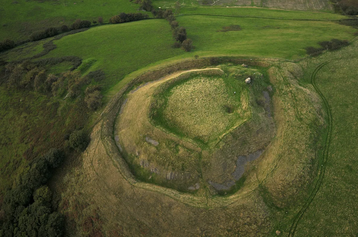
Tinboeth Castle
Castles · 2.1 km

Castelltinboeth
Archaeological sites · 2.1 km

Gors Lydan
Mountains & hills · 2.1 km

Hill Ground
Mountains & hills · 2.2 km

Moel Dod, Earthwork
Vineyards · 2.5 km

Moel Dod
Mountains & hills · 2.6 km

Llananno
Historic churches · 2.7 km

St Anno's Church
Historic churches · 2.8 km

Bryn Ithon Caravan Park
Caravan parks · 2.9 km

Castell y Blaidd Medieval Settlement
Vineyards · 3.1 km
Nearby
📷 5📷 5📷 3📷 3Archaeological sites · Mid Wales
Castelltinboeth
Castelltinboeth — an archaeological site in Mid Wales, United Kingdom.
📷 3Mountains & hills · Mid Wales
Gors Lydan
Gors Lydan — a mountain in wales-mid, United Kingdom, 528 m.
📷 4Mountains & hills · Mid Wales
Hill Ground
Hill Ground — a mountain in wales-mid, United Kingdom, 395 m.
Where to eat & stay near Llanbadarn-fynydd
Places to stay
📷 3Caravan parks · Mid Wales
Bryn Ithon Caravan Park
Bryn Ithon Caravan Park — a caravan park in wales mid.
 📷 5
Caravan parks · Mid Wales
Cefn Lea Holiday Park
Cefn Lea Holiday Park — a caravan park in wales mid.
 📷 5
 📷 5
 📷 5
 📷 5
Places to eat & drink
 📷 4
 📷 4
 📷 5
 📷 7
 📷 4
Historic pubs · Mid Wales
The Checkers
The Checkers in Wales Mid, United Kingdom.
 📷 4
More places in this region
 📷 5
 📷 5
 📷 5
 📷 5
Frequently asked questions
- Where is Llanbadarn-fynydd?
- Llanbadarn-fynydd is in Mid Wales, United Kingdom (postcode LD1 6UA), in the parish of Llanbadarn Fynydd.
- What is Llanbadarn-fynydd?
- Llanbadarn-fynydd — a village in wales mid.
- How do I get to Llanbadarn-fynydd?
- The nearest railway station is Llanbister Road, about 8.8 km away. The nearest town is Mochdre. Drivers can use postcode LD1 6UA.
- How do I get to Llanbadarn-fynydd?
- Drivers can navigate to postcode LD1 6UA. It sits within the Brecon, Radnor and Cwm Tawe parliamentary constituency.