
Historic churches · Mid Wales
Llanbadarn Fawr, Powys
In or near Llandrindod East/Llandrindod West.
Llanbadarn Fawr is a community in Powys, within the historic boundaries of Radnorshire, mid Wales. Consisting of a tract of undulating land directly north east of Llandrindod Wells, the community cons

Llywelyn2000 — CC BY-SA 4.0 via Wikimedia Commons licence

Plan your visit
- Typical visit
- 30 min–1 h
- Nearest railway station
- Pen-y-bont · 0.6 km
- Free entry
About
Llanbadarn Fawr is a community in Powys, within the historic boundaries of Radnorshire, mid Wales. Consisting of a tract of undulating land directly north east of Llandrindod Wells, the community consists of the settlements of Crossgates and Fron and in 2001 had a population of 654, increasing to 701 at the 2011 Census. The community name comes from the local church.
Photo gallery
From the Wikipedia article
Llanbadarn Fawr is a community in Powys, within the historic boundaries of Radnorshire, mid Wales. Consisting of a tract of undulating land directly north east of Llandrindod Wells, the community consists of the settlements of Crossgates and Fron and in 2001 had a population of 654, increasing to 701 at the 2011 Census. The community name comes from the local church.
Excerpt from Wikipedia under CC BY-SA 4.0. See the source article linked in Sources below.
Background
History
Llanbadarn Fawr was once a parish, much larger than its present-day community. In John Marius Wilson's Imperial Gazetteer of England and Wales published in the 1870s, he states that "Llanbadarn Fawr", a parish in Rhayader district, Radnor; ... is divided into the townships of Brinhyfedd and Cellws; and it contains the village of Penybont". Today the village of Penybont lies outside the local council jurisdiction of Llanbadarn Fawr being a community in its own right. The River Ithon flows through the community, passing the village of Crossgates. The community is served by Pen-y-Bont railway station which is closer to the villages of Fron and Crossgate than its namesake Penybont.
Architecture
The most notable building in the community is Llanbadarn Fawr church. The River Ithon flows a hundred metres from the church, and this fact, along with the addition of the affix "fawr" to distinguish it from nearby Llanbadarn Fynydd, has led one authority to state that the church may be pre-Norman Conquest and the mother church of the area. The earliest mention of the church is in 1304, and the name Llanbadarn Vaur appeared in texts in 1374. The porch also contains an inscribed centurial stone, dated 1171, from a Roman fort at Castell Collen. Originally dated as a 16th-century manor house, the hall was rebuilt in the 19th century though the lateral chimney, dated as 1581, still exists in…
Sourced from Wikipedia under CC BY-SA 4.0.
- Coordinates
- 52.2698, -3.3255
- District
- Powys
- Parish
- Llanbadarn Fawr
- Postcode
- LD1 5SU
- Parliamentary constituency
- Brecon, Radnor and Cwm Tawe
- Nearest railway station
- Pen-y-bont — 0.6 km
Sources
- wikipedia: Llanbadarn Fawr, Powys (CC BY-SA 4.0)
Other places nearby

Llandegley International Airport
Natural landmarks · 0.5 km

Pen-y-Bont railway station
Heritage railway stations · 0.5 km

Mynydd Llwyn-hir
Mountains & hills · 0.6 km

Crossgates
Natural landmarks · 1.0 km

Church House Farm Caravan & Campsite
Campsites · 1.1 km

Cefnllys Old Castle
Literary houses · 1.4 km

Clywedog Bridge
Historic bridges · 1.4 km

Fron
Heritage railway stations · 1.5 km

Cefn-penarth
Mountains & hills · 1.5 km

Llanbadarn-fawr
Villages · 1.7 km

Dinieithon
Forts · 1.8 km

The Thomas Shop
Museums · 1.8 km
Nearby
📷 4Natural landmarks · Mid Wales
Llandegley International Airport
Llandegley International Airport in Wales Mid, United Kingdom.
📷 4Heritage railway stations · Mid Wales
Pen-y-Bont railway station
Pen-y-Bont railway station in Wales Mid, United Kingdom.
📷 5📷 3📷 5Campsites · Mid Wales
Church House Farm Caravan & Campsite
Church House Farm Caravan & Campsite — a campsite in wales mid.
📷 5Literary houses · Mid Wales
Cefnllys Old Castle
Cefnllys Old Castle — a literary house museum in wales mid.
Where to eat & stay near Llanbadarn Fawr, Powys
Places to stay
📷 5Campsites · Mid Wales
Church House Farm Caravan & Campsite
Church House Farm Caravan & Campsite — a campsite in wales mid.
 📷 5
📷 5 📷 5
📷 5Caravan parks · Mid Wales
Spring Rock Caravan Park
Spring Rock Caravan Park — a caravan park in wales mid.
 📷 7
📷 7 📷 5
📷 5 📷 5
📷 5Campsites · Mid Wales
Llandrindod Hall Caravan and Camp Site
Llandrindod Hall Caravan and Camp Site — a campsite in wales mid.
Places to eat & drink
 📷 7
📷 7 📷 5
📷 5 📷 4
📷 4 📷 4
📷 4 📷 5
📷 5Historic pubs · Mid Wales
The Royal Oak Public House Including Rubblestone Wing To East
The Royal Oak Public House Including Rubblestone Wing To East in Wales Mid, United Kingdom.
 📷 5
📷 5Historic pubs · Mid Wales
32 and 33, Church Street
32 and 33, Church Street in Wales Mid, United Kingdom.
More places in this region
 📷 3
📷 3Historic churches · Mid Wales
Church of St Peter
Church of St Peter — Grade I listed church, Shropshire, England, UK.
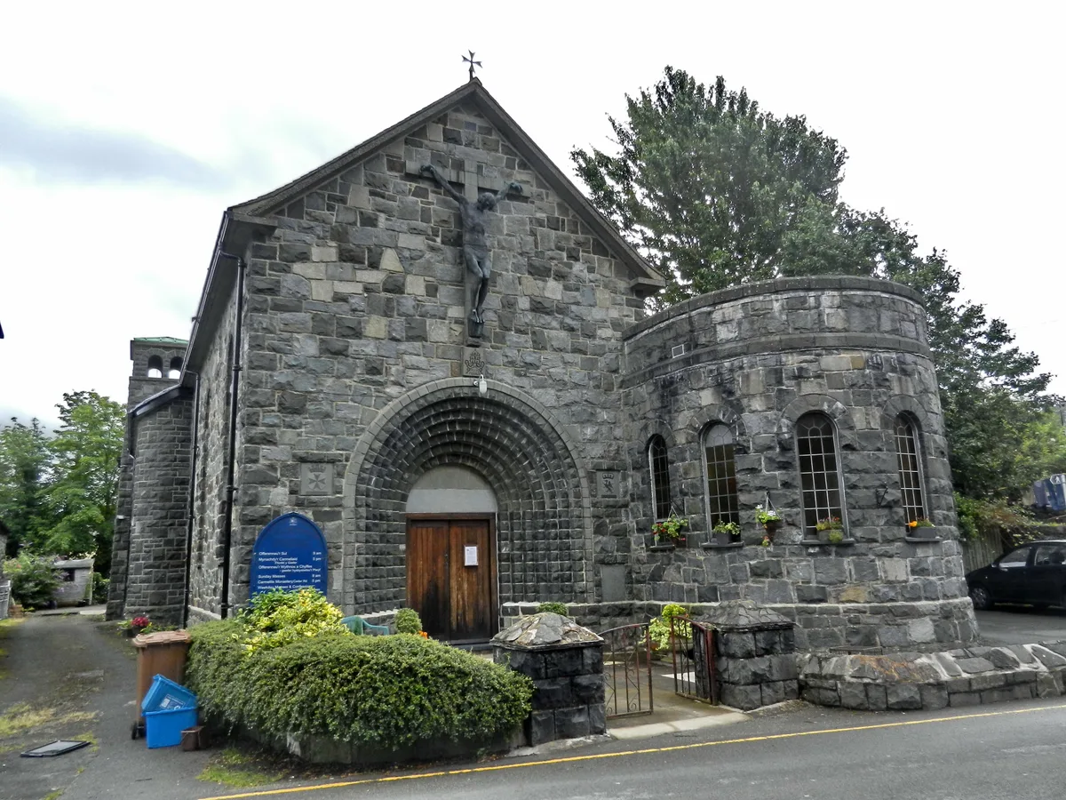 📷 4
📷 4Historic churches · Mid Wales
Our Lady of Seven Sorrows Church
Our Lady of Seven Sorrows Church — church in Dolgellau, Wales.
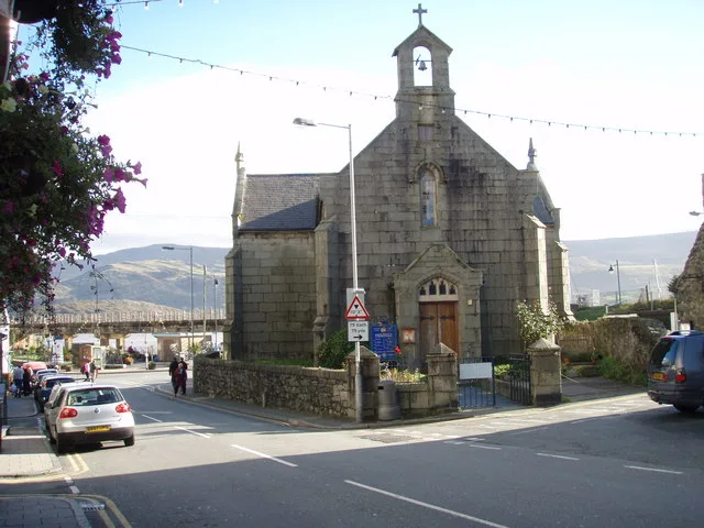 📷 4
📷 4Historic churches · Mid Wales
St David's Church
St David's Church — church in Barmouth, Gwynedd, Wales.
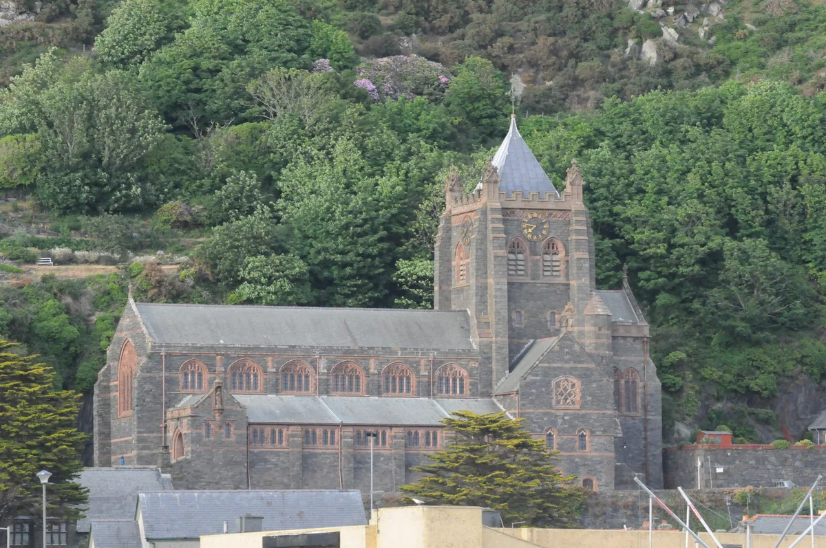 📷 5
📷 5Historic churches · Mid Wales
St John's Church
St John's Church — church in Barmouth, north Wales.
Frequently asked questions
- Where is Llanbadarn Fawr, Powys?
- Llanbadarn Fawr, Powys is in Mid Wales, United Kingdom (postcode LD1 5SU), in the parish of Llanbadarn Fawr.
- What is Llanbadarn Fawr, Powys?
- Llanbadarn Fawr is a community in Powys, within the historic boundaries of Radnorshire, mid Wales. Consisting of a tract of undulating land directly north east of Llandrindod Wells, the community cons
- How do I get to Llanbadarn Fawr, Powys?
- The nearest railway station is Pen-y-bont, about 0.6 km away. Drivers can use postcode LD1 5SU.
- Is Llanbadarn Fawr, Powys free to visit?
- Yes, Llanbadarn Fawr, Powys is free to enter.
- How do I get to Llanbadarn Fawr, Powys?
- The nearest railway station is Pen-y-bont, about 0.6 km away. Drivers can navigate to postcode LD1 5SU.