
Hill forts · South Wales
Llanarth, Monmouthshire
In or near Raglan.
Llanarth is a privately owned estate village and community within a conservation area in the Welsh county of Monmouthshire. Llanarth is roughly six miles (10 km) east of Abergavenny and four miles (6

Philip Halling — CC BY-SA 2.0 via Wikimedia Commons licence

Plan your visit
- Typical visit
- 1 h–2 h
- Nearest railway station
- Abergavenny · 7.5 km
- Free entry
- Dog-friendly
About
Llanarth is a privately owned estate village and community within a conservation area in the Welsh county of Monmouthshire. Llanarth is roughly six miles (10 km) east of Abergavenny and four miles (6 km) west of Raglan.
Photo gallery
Protected designations
- Site of Special Scientific Interest: River Wye SSSI
Designations sourced from Natural England open data under OGL v3.
From the Wikipedia article
Llanarth is a privately owned estate village and community within a conservation area in the Welsh county of Monmouthshire. Llanarth is roughly six miles (10 km) east of Abergavenny and four miles (6 km) west of Raglan.
Excerpt from Wikipedia under CC BY-SA 4.0. See the source article linked in Sources below.
Background
History
One of the earliest mentions of the village is in the Book of Llandaff, written in 1125 CE, where it is rendered with the spelling "Llangarth". The village's name translates as either "church on the ridge of the hill” or possibly “church with a garth (yard)”. Both attest to the presence of a chapel with resident priest (Llan). Settlement within the area potentially dates back to the 6th century CE. The Book of Llandaff states that the king of Gwent - Iddon son of , gave his mansion of "Llangarth" to Teilo, who was the Bishop of Llandaff between 512 and 566. In 880 a Bishop by the name of Nudd was resident within Llanarth. The Church of St Teilo in the village stands on the foundation of an…
Sourced from Wikipedia under CC BY-SA 4.0.
- Coordinates
- 51.7940, -2.9070
- District
- Monmouthshire
- Parish
- Llanarth
- Postcode
- NP15 2AU
- Parliamentary constituency
- Monmouthshire
- Nearest railway station
- Abergavenny — 7.5 km
- Official site
- neighbourhood.statistics.gov.uk
Sources
- wikipedia: Llanarth, Monmouthshire (CC BY-SA 4.0)
Other places nearby

Church of St Mary and St Michael, Llanarth
Historic churches · 0.7 km

Coed-y-gelli
Gardens · 0.7 km

Pwllyrhwyad
Gardens · 1.2 km

Twyn y Gregen
Literary houses · 1.8 km

Llwynderi Bridge
Historic bridges · 2.4 km

Clytha Castle
Castles · 2.8 km

Clytha Castle
Castles · 2.8 km

Wern y Cwrt Motte
Castles · 2.9 km
Castell Gwern-y-cwrt
Literary houses · 2.9 km

Llwyn-y-gaer House
Gardens · 2.9 km
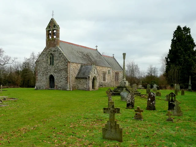
St Mary's Church
Historic churches · 3.0 km

Monmouthshire
Hill forts · 3.0 km
Nearby
📷 5Historic churches · South Wales
Church of St Mary and St Michael, Llanarth
Church of St Mary and St Michael, Llanarth — Grade II* listed building-listed church in wales-south, United Kingdom.
📷 4📷 4📷 5📷 5Historic bridges · South Wales
Llwynderi Bridge
Llwynderi Bridge — Grade II listed building-listed bridge in wales-south, United Kingdom.
📷 5Castles · South Wales
Clytha Castle
Clytha Castle (Welsh: Castell Cleidda) is a folly near Clytha between Llanarth and Raglan in Monmouthshire, south east Wales. Dating from 1790, the castle was built by William Jones, owner of the Clyt
Where to eat & stay near Llanarth, Monmouthshire
Places to stay
 📷 5
📷 5 📷 5
📷 5 📷 5
📷 5 📷 5
📷 5Campsites · South Wales
Pont Kemys Caravan & Camping Park
Pont Kemys Caravan & Camping Park — a campsite in wales south.
 📷 5
📷 5Caravan parks · South Wales
Church Cottage Caravan Park
Church Cottage Caravan Park — a caravan park in wales south.
 📷 5
📷 5Caravan parks · South Wales
Blossom Touring Caravan Park
Blossom Touring Caravan Park — a caravan park in wales south.
Places to eat & drink

Restaurants · South Wales
The Walnut Tree
The Walnut Tree — a restaurant in wales south.
 📷 3
📷 3 📷 5
📷 5Historic pubs · South Wales
Skirrid Mountain Inn
Skirrid Mountain Inn — Historic pub — listed building or notable heritage status.
 📷 5
📷 5Historic pubs · South Wales
The Green Dragon, Monmouth
The Green Dragon, Monmouth in Wales South, United Kingdom.
 📷 5
📷 5Historic pubs · South Wales
The Gatehouse
The Gatehouse in Wales South, United Kingdom.
 📷 7
📷 7More places in this region
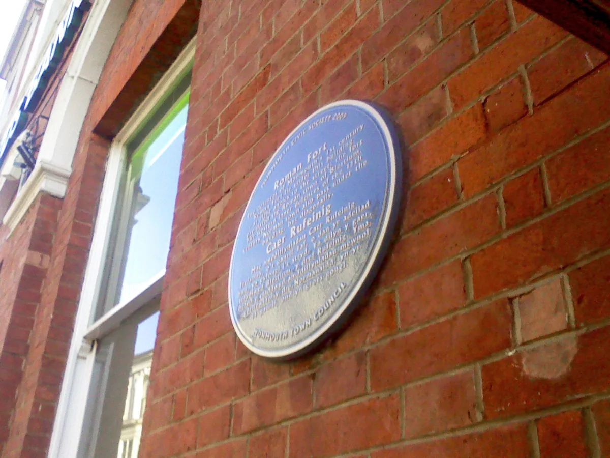 📷 3
📷 3Hill forts · South Wales
Blestium
Blestium — archaeological site in Monmouth, Wales, UK.
 📷 3
📷 3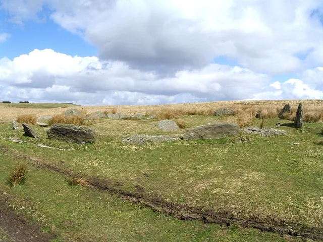 📷 3
📷 3Hill forts · South Wales
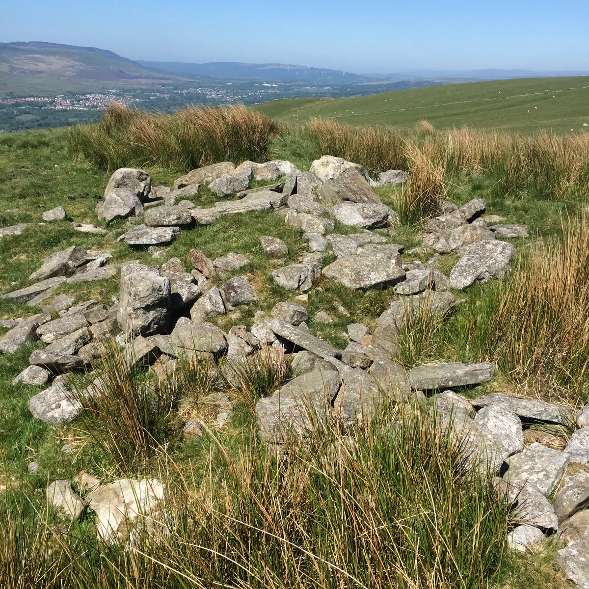
Carn Llechart
Carn Llechart — archaeological site in Neath Port Talbot County Borough, Wales, UK.
 📷 3
📷 3Hill forts · South Wales
Carn Pentyle-Hir & Adjacent Round Cairn
Carn Pentyle-Hir & Adjacent Round Cairn — archaeological site in Rhondda Cynon Taf, Wales, UK.
Frequently asked questions
- Where is Llanarth, Monmouthshire?
- Llanarth, Monmouthshire is in South Wales, United Kingdom (postcode NP15 2AU), in the parish of Llanarth.
- What is Llanarth, Monmouthshire?
- Llanarth is a privately owned estate village and community within a conservation area in the Welsh county of Monmouthshire. Llanarth is roughly six miles (10 km) east of Abergavenny and four miles (6
- How do I get to Llanarth, Monmouthshire?
- The nearest railway station is Abergavenny, about 7.5 km away. Drivers can use postcode NP15 2AU.
- Is Llanarth, Monmouthshire a protected site?
- Yes — Llanarth, Monmouthshire is part of the River Wye SSSI Site of Special Scientific Interest.
- Is Llanarth, Monmouthshire free to visit?
- Yes, Llanarth, Monmouthshire is free to enter.
- How do I get to Llanarth, Monmouthshire?
- The nearest railway station is Abergavenny, about 7.5 km away. Drivers can navigate to postcode NP15 2AU.