Mountains & hills · North West England
Little Sca Fell
In or near Bassenthwaite.
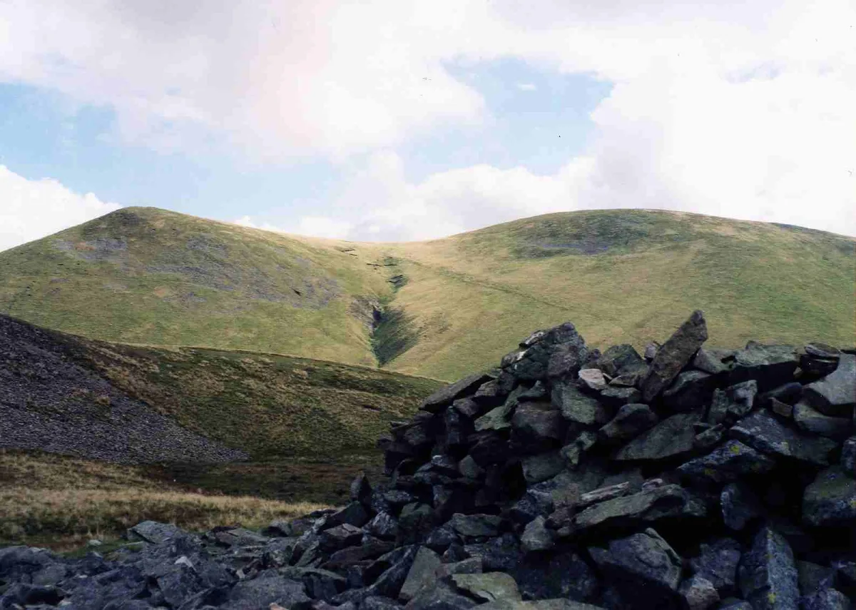
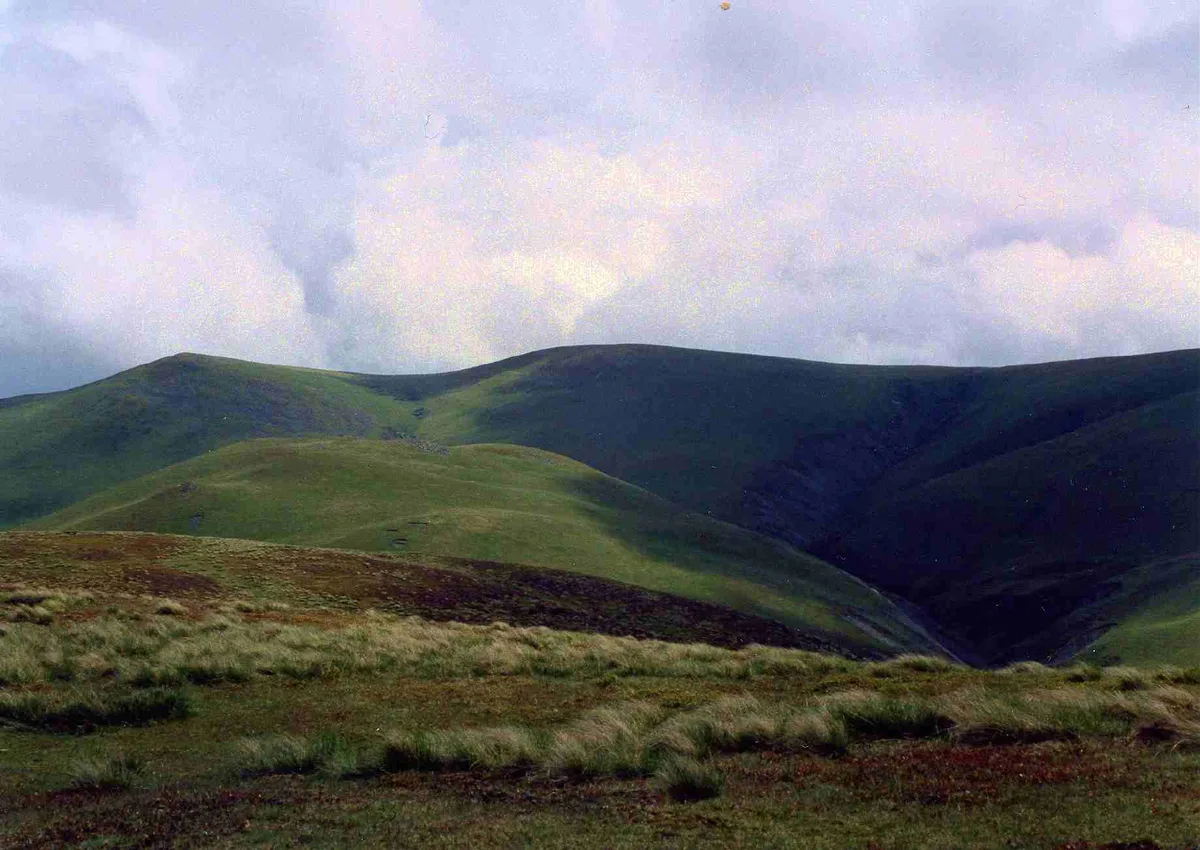
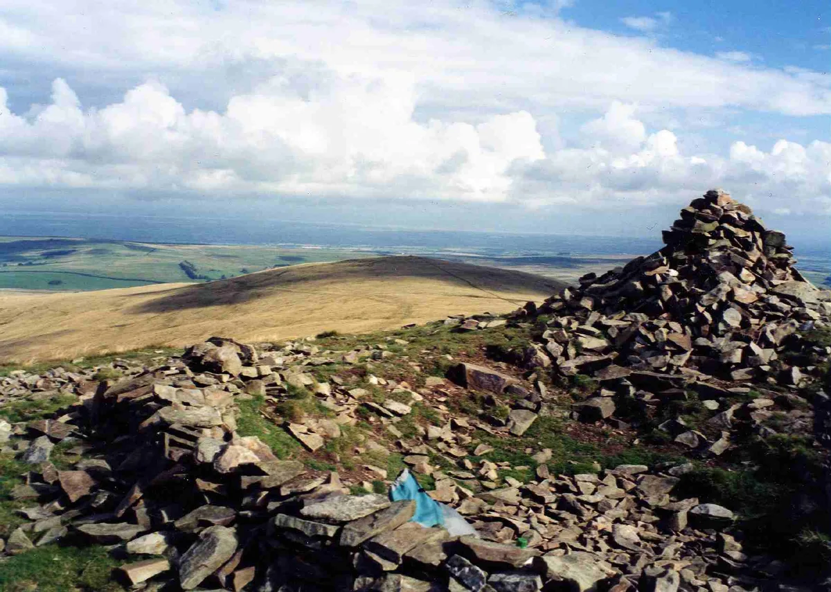
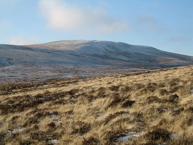
Little Sca Fell — Named summit at 633 m.

Wikimedia Commons contributors — see linked file page for photographer and licence licence
Plan your visit
- Typical visit
- 3 h–8 h
- Best time of year
- Late spring – early autumn (May–Oct)
- Free entry
- Dog-friendly
About
Little Sca Fell is a named summit in the United Kingdom. Wikidata describes it as: "Named summit at 633 m.". Coordinates: 54.6979°, -3.1040°.
Photo gallery
Protected designations
- Site of Special Scientific Interest: Skiddaw Group SSSI
Designations sourced from Natural England open data under OGL v3.
From the Wikipedia article
Great Sca Fell is a fell in the English Lake District, seven kilometres (4+1⁄2 miles) southwest of the village of Caldbeck. It is the highest of the four Uldale Fells, the other three being Longlands Fell, Meal Fell and Great Cockup. It is a Wainwright, and the lowest of the lakeland "Sca fells", the other two being Scafell and Scafell Pike.
Excerpt from Wikipedia under CC BY-SA 4.0. See the source article linked in Sources below.
- Coordinates
- 54.6979, -3.1040
- Address
- Cumbria, England
Sources
- osm: n4857956286 (ODbL)
- wikipedia: Great Sca Fell (CC BY-SA 4.0)
- commons: Great Sca Fell from Meal Fell.jpg (CC BY-SA 4.0)
Other places nearby

Great Sca Fell
Mountains & hills · 0.4 km
Great Sca Fell
Natural landmarks · 0.4 km

Yard Steel
Mountains & hills · 0.6 km
Meal Fell
Mountains & hills · 0.8 km

Meal Fell
Natural landmarks · 0.9 km
Brae Fell
Natural landmarks · 0.9 km

Brae Fell
Mountains & hills · 0.9 km

Roughton Gill Lead Mine
Viewpoints · 1.2 km

Lowthwaite Fell
Mountains & hills · 1.2 km

Uldale Fells
Vineyards · 1.4 km
Knott
Mountains & hills · 1.4 km

Miller Moss Top
Mountains & hills · 1.4 km
Nearby
📷 3📷 3Natural landmarks · North West England
Great Sca Fell
Great Sca Fell — mountain in United Kingdom.
📷 5Mountains & hills · North West England
Yard Steel
Yard Steel — mountain in scotland lowlands. Elevation: 634 m.
📷 3📷 3📷 3Where to eat & stay near Little Sca Fell
Places to stay
 📷 5
📷 5Caravan parks · North West England
High Close Holiday Homes
High Close Holiday Homes — a caravan park in scotland lowlands.
 📷 5
📷 5Hostels · North West England
YHA Skiddaw Bunkhouse
YHA Skiddaw Bunkhouse — a hostel in scotland lowlands.
 📷 5
📷 5Caravan parks · North West England
Robin Hood Park
Robin Hood Park — a caravan park in scotland lowlands.
 📷 5
📷 5Hostels · North West England
Caldbeck Glamping Barns & Bothy
Caldbeck Glamping Barns & Bothy — a hostel in scotland lowlands.
 📷 5
📷 5B&Bs · North West England
Denton House
Denton House — a bed-and-breakfast in scotland lowlands.
 📷 5
📷 5Campsites · North West England
Caldbeck Camping
Caldbeck Camping — a campsite in scotland lowlands.
Places to eat & drink
 📷 4
📷 4Historic pubs · North West England
Oddfellows Arms
Oddfellows Arms — Historic pub — listed building or notable heritage status.
 📷 7
📷 7Historic pubs · North West England
The Pheasant Inn
The Pheasant Inn in Scotland Lowlands, United Kingdom.
 📷 5
📷 5 📷 5
📷 5Historic pubs · North West England
Kings Arms Walter Willsons
Kings Arms Walter Willsons in Scotland Lowlands, United Kingdom.
 📷 7
📷 7Cafés · North West England
Grange Bridge Cottage
Grange Bridge Cottage — a café in england north east.
 📷 5
📷 5More mountains in this region
 📷 5
📷 5Mountains & hills · North West England
Appleton Park
Appleton Park — a hill or mountain in england west midlands.
 📷 5
📷 5Mountains & hills · North West England
High Warren
High Warren — mountain in england west midlands. Elevation: 105 m.
 📷 5
📷 5Mountains & hills · North West England
Alderley Edge
Alderley Edge — mountain in england west midlands. Elevation: 194 m.
 📷 3
📷 3Frequently asked questions
- Where is Little Sca Fell?
- Little Sca Fell is in the Scottish Lowlands, United Kingdom.
- What is Little Sca Fell?
- Little Sca Fell — Named summit at 633 m.
- How do I get to Little Sca Fell?
- Its coordinates are 54.6979°, -3.1040°.
- Is Little Sca Fell a protected site?
- Yes — Little Sca Fell is part of the Skiddaw Group SSSI Site of Special Scientific Interest.
- Is Little Sca Fell free to visit?
- Yes, Little Sca Fell is free to enter.