
Mountains & hills · West Midlands
Little Caradoc
In or near Diddlebury.
Little Caradoc — mountain in wales mid. Elevation: 327 m.

John H Darch — CC BY-SA 2.0 via Wikimedia Commons licence

Plan your visit
- Typical visit
- 3 h–8 h
- Best time of year
- Late spring – early autumn (May–Oct)
- Nearest railway station
- Church Stretton · 3.6 km
- Dog-friendly
About
Little Caradoc is a mountain located in wales mid. Elevation: 327 m. A named British peak recorded in OpenStreetMap. Peaks are typically named on Ordnance Survey 1:50k mapping.
Photo gallery
Protected designations
- Area of Outstanding Natural Beauty: Shropshire Hills
Designations sourced from Natural England open data under OGL v3.
Place summary
Little Caradoc is a mountain located in Mid Wales, within the parish of Cardington. It is part of the Shropshire Hills Area of Outstanding Natural Beauty (AONB). The mountain offers a rugged landscape and scenic views typical of the region, attracting walkers and nature enthusiasts. Its designation as an AONB highlights its ecological and aesthetic significance.
AI-generated from the structured facts on this page (operator, designation, listing, era). Not a substitute for visiting.
- Coordinates
- 52.5600, -2.7658
- District
- Shropshire
- Parish
- Cardington
- Postcode
- SY6 7JT
- Parliamentary constituency
- South Shropshire
- Nearest railway station
- Church Stretton — 3.6 km
Sources
- osm: n11682722556 (ODbL)
Other places nearby
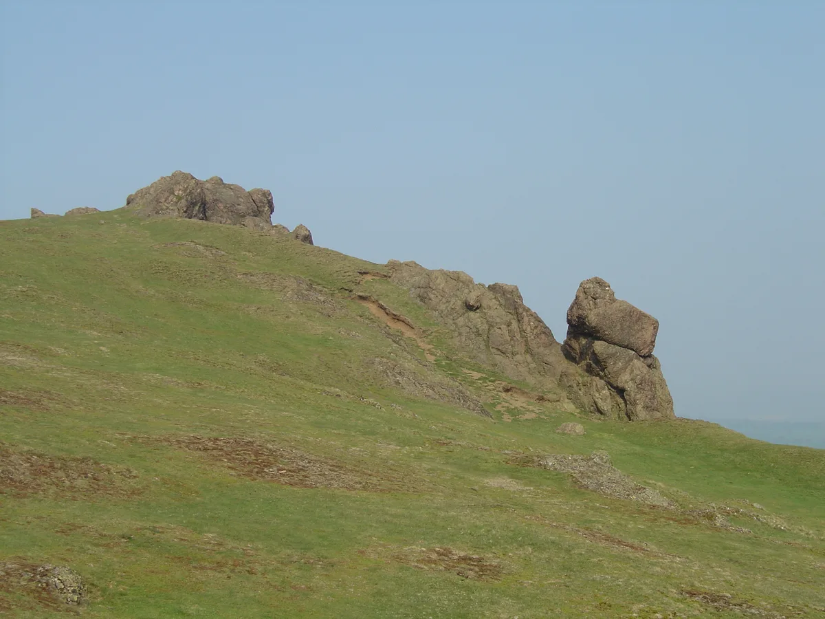
Caer Caradoc
Mountains & hills · 0.8 km

Caer Caradoc Hill
Mountains & hills · 0.8 km

Caer Caradoc
Vineyards · 0.9 km

The Wilderness
Mountains & hills · 1.0 km

Cwms Cottage
Historic houses · 1.1 km

Willstone
Villages · 1.5 km

Hoar Edge
Mountains & hills · 1.7 km

Three Fingers Rock
Mountains & hills · 1.7 km

Penkridge Hall
Historic houses · 1.8 km

Willstone Hill
Mountains & hills · 1.8 km

Cross dyke and hut platform on the summit of The Lawley, 100m south west of OS trig pillar.
Vineyards · 1.8 km

Barnfield Farm Camping
Campsites · 1.9 km
Nearby
📷 3📷 5Mountains & hills · West Midlands
Caer Caradoc Hill
Caer Caradoc Hill — a hill or mountain in wales mid.
📷 5Vineyards · West Midlands
Caer Caradoc
Caer Caradoc — a UK vineyard in wales mid, producing English or Welsh wine from cool-climate grape varieties.
📷 5Mountains & hills · West Midlands
The Wilderness
The Wilderness — mountain in wales mid. Elevation: 321 m.
📷 3Historic houses · West Midlands
Cwms Cottage
Cwms Cottage — a historic house in West Midlands, United Kingdom.
📷 5Where to eat & stay near Little Caradoc
Places to stay
📷 5 📷 5
 📷 5
Hostels · West Midlands
All Stretton Bunkhouse
All Stretton Bunkhouse — a hostel in wales mid.
 📷 5
B&Bs · West Midlands
Victoria House
Victoria House — a bed-and-breakfast in wales mid.
 📷 5
Campsites · West Midlands
Small Batch
Small Batch — a campsite in wales mid.
 📷 5
Caravan parks · West Midlands
The Shepherd's Loft
The Shepherd's Loft — a caravan park in wales mid.
Places to eat & drink
 📷 7
Historic pubs · West Midlands
Yew Tree Inn Public House
Yew Tree Inn Public House in Wales North, United Kingdom.
 📷 5
 📷 5
Historic pubs · West Midlands
The Bucks Head Public House
The Bucks Head Public House in Wales Mid, United Kingdom.
 📷 5
 📷 5
 📷 7
Historic pubs · West Midlands
Crown Inn Public House
Crown Inn Public House in England West Midlands, United Kingdom.
More mountains in this region
 📷 5
Mountains & hills · West Midlands
Stile Cop
Stile Cop — mountain in england east midlands. Elevation: 219 m.
 📷 5
Mountains & hills · West Midlands
Rawnsley Hill
Rawnsley Hill — mountain in england east midlands. Elevation: 237 m.
 📷 5
Mountains & hills · West Midlands
Hound Hill
Hound Hill — mountain in england east midlands. Elevation: 98 m.
 📷 5
Frequently asked questions
- Where is Little Caradoc?
- Little Caradoc is in the West Midlands, United Kingdom (postcode SY6 7JT), in the parish of Cardington.
- What is Little Caradoc?
- Little Caradoc — mountain in wales mid. Elevation: 327 m.
- How do I get to Little Caradoc?
- The nearest railway station is Church Stretton, about 3.6 km away. The nearest town is Diddlebury. Drivers can use postcode SY6 7JT.
- Is Little Caradoc a protected site?
- Yes — Little Caradoc is part of the Shropshire Hills National Landscape (AONB).
- How do I get to Little Caradoc?
- The nearest railway station is Church Stretton, about 3.6 km away. Drivers can navigate to postcode SY6 7JT.