
Waterfalls · Scottish Lowlands
Linn
In or near Ochiltree.
Linn — waterfall in scotland lowlands.

Alan Reid — CC BY-SA 2.0 via Wikimedia Commons licence

Plan your visit
- Typical visit
- 1 h–2 h
- Nearest railway station
- Auchinleck · 6.0 km
About
Linn is a waterfall located in scotland lowlands. A British waterfall recorded in OpenStreetMap. Most are in upland country where rivers cross resistant rock.
Photo gallery
Place summary
Linn is a waterfall located in the Scottish Lowlands. It features a series of scenic cascades and is known for its natural beauty. The surrounding area offers opportunities for walking and enjoying the landscape. This site is a notable example of the region's rugged terrain and rich biodiversity.
AI-generated from the structured facts on this page (operator, designation, listing, era). Not a substitute for visiting.
- Coordinates
- 55.4819, -4.3889
- District
- East Ayrshire
- Postcode
- KA18 2QE
- Parliamentary constituency
- Ayr, Carrick and Cumnock
- Nearest railway station
- Auchinleck — 6 km
Sources
- osm: n10769313008 (ODbL)
Other places nearby
rock shelter (possible boatshed)
Caves · 0.1 km

Site of former Slatehole Lodge
Historic houses · 0.1 km

Peden's Cave
Caves · 0.4 km

Site of Summerhouse
Historic houses · 0.4 km

Site of Roadinghead
Archaeological sites · 0.5 km
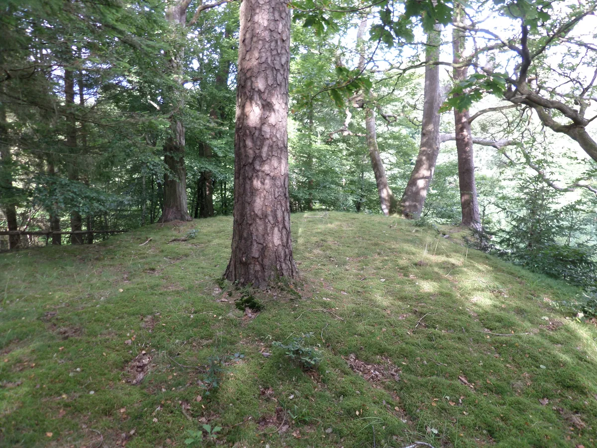
Ochiltree Castle
Castles · 0.7 km

Site of Ochiltree Castle
Castles · 0.7 km
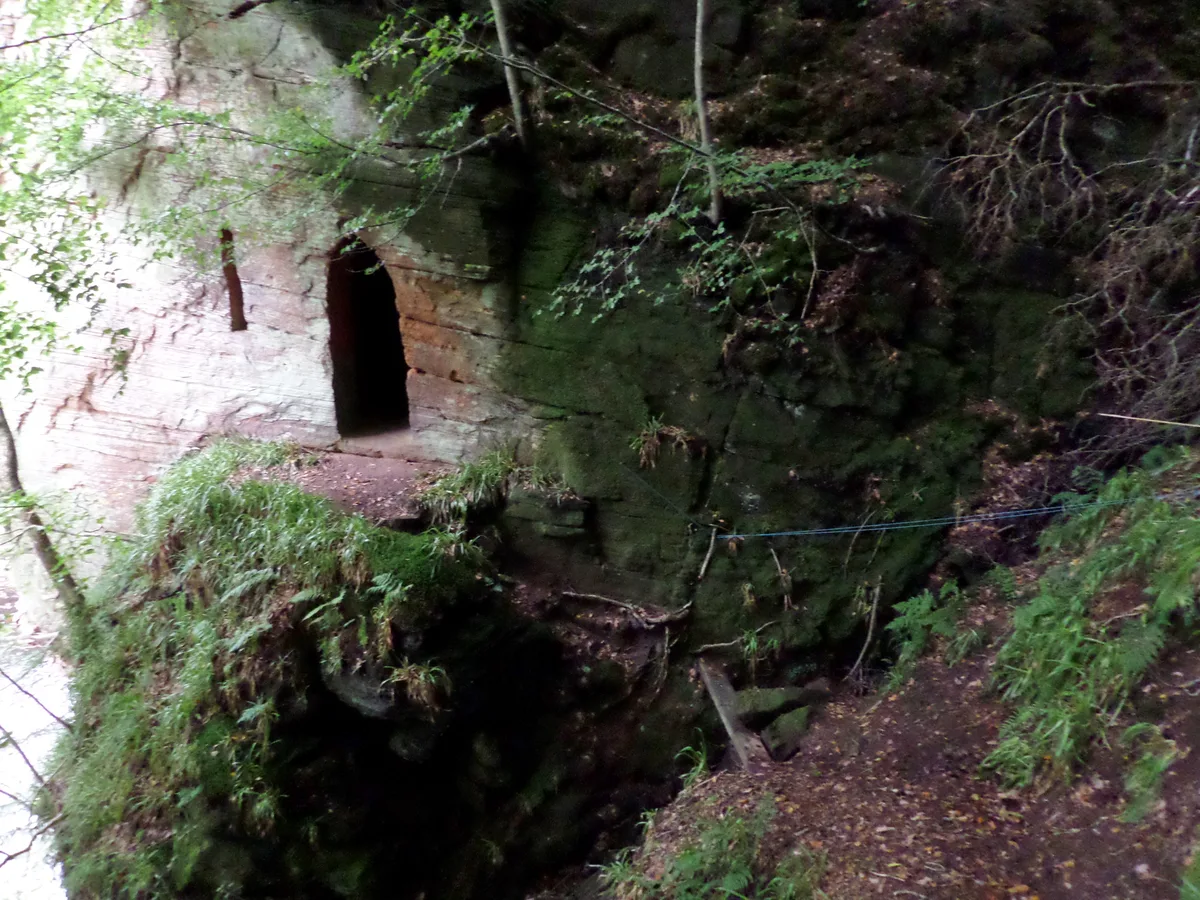
Wallace's Cave, Auchinleck Estate
Mountains & hills · 0.7 km

Wallace's Cave
Caves · 0.7 km

Possible mock shrine adjunct
Memorials & monuments · 0.8 km
Ruins of Auchinleck Castle
Castles · 0.9 km
Auchinleck Castle (ruins)
Castles · 0.9 km
Nearby
📷 5Caves · Scottish Lowlands
rock shelter (possible boatshed)
rock shelter (possible boatshed) — cave in scotland lowlands.
📷 3Historic houses · Scottish Lowlands
Site of former Slatehole Lodge
Site of former Slatehole Lodge — a historic house in Scottish Lowlands, United Kingdom.
📷 5📷 3Historic houses · Scottish Lowlands
Site of Summerhouse
Site of Summerhouse — a historic house in Scottish Lowlands, United Kingdom.
📷 3Archaeological sites · Scottish Lowlands
Site of Roadinghead
Site of Roadinghead — an archaeological site in Scottish Lowlands, United Kingdom.
📷 3Castles · Scottish Lowlands
Ochiltree Castle
Ochiltree Castle — castle in East Ayrshire, Scotland, UK.
Where to eat & stay near Linn
Places to stay
 📷 5
Campsites · Scottish Lowlands
Catrine House Caravan and Camping
Catrine House Caravan and Camping — a campsite in scotland lowlands.
 📷 5
Caravan parks · Scottish Lowlands
Sundrum Castle Holiday Park
Sundrum Castle Holiday Park — a caravan park in scotland lowlands. Brand: Parkdean Resorts.
 📷 5
Caravan parks · Scottish Lowlands
Crofthead Holiday Park
Crofthead Holiday Park — a caravan park in scotland lowlands.
 📷 5
Caravan parks · Scottish Lowlands
Dutch House Caravan Park
Dutch House Caravan Park — a caravan park in scotland highlands.
📷 5Caravan parks · Scottish Lowlands
Dutch House Caravan Park
Dutch House Caravan Park — a caravan park in scotland highlands.
 📷 5
Caravan parks · Scottish Lowlands
Ayr Cragie Gardens Caravan Club
Ayr Cragie Gardens Caravan Club — a caravan park in scotland lowlands.
Places to eat & drink
 📷 7
Historic pubs · Scottish Lowlands
Commercial Inn, 1-3 Mill Street, Ochiltree
Commercial Inn, 1-3 Mill Street, Ochiltree in Scotland Lowlands, United Kingdom.
 📷 5
Historic pubs · Scottish Lowlands
The Sun Inn, 23 The Square, Cumnock
The Sun Inn, 23 The Square, Cumnock in Scotland Lowlands, United Kingdom.
 📷 5
Historic pubs · Scottish Lowlands
Loudoun Arms, 69 Main Street, Newmilns
Loudoun Arms, 69 Main Street, Newmilns in Scotland Central, United Kingdom.
 📷 5
Historic pubs · Scottish Lowlands
Railway Tavern, 18 Smith Street, Ayr
Railway Tavern, 18 Smith Street, Ayr in Scotland Lowlands, United Kingdom.
 📷 5
Historic pubs · Scottish Lowlands
The Clansman, 58, 60, 62 John Finnie Street, Kilmarnock
The Clansman, 58, 60, 62 John Finnie Street, Kilmarnock in Scotland Central, United Kingdom.
 📷 5
Historic pubs · Scottish Lowlands
Doon Tavern, High Street, Dalmellington
Doon Tavern, High Street, Dalmellington in Scotland Lowlands, United Kingdom.
More places in this region
 📷 5
 📷 5
 📷 5
Waterfalls · Scottish Lowlands
Glenburn Waterfall
Glenburn Waterfall — waterfall in scotland highlands.
 📷 5
Frequently asked questions
- Where is Linn?
- Linn is in the Scottish Lowlands, United Kingdom (postcode KA18 2QE).
- What is Linn?
- Linn — waterfall in scotland lowlands.
- How do I get to Linn?
- The nearest railway station is Auchinleck, about 6.0 km away. The nearest town is Ochiltree. Drivers can use postcode KA18 2QE.
- How do I get to Linn?
- The nearest railway station is Auchinleck, about 6.0 km away. Drivers can navigate to postcode KA18 2QE.