
Natural landmarks · Central Scotland
Lindores Loch
In or near Abernethy.
Lindores Loch — lake in Fife, Scotland, UK, outflows north to Lindores Burn.

Wikimedia Commons contributors — see linked file page for photographer and licence licence

Plan your visit
- Typical visit
- 1 h–2 h
- Nearest railway station
- Ladybank · 7.6 km
- Free entry
- Dog-friendly
Getting there & planning your visit
To visit Lindores Loch, the nearest railway station is Ladybank, which is 7.6 km away. The postcode for sat-nav is KY14 6JB, and entry to the site is free.
About
Lindores Loch is a named natural landmark in the United Kingdom. Wikidata describes it as: "lake in Fife, Scotland, UK, outflows north to Lindores Burn". Coordinates: 56.3333°, -3.1833°.
Photo gallery
From the Wikipedia article
Lindores Loch is a freshwater loch, situated in North Fife in the Parish of Abdie, in the Central Belt of Scotland. The Loch has for many years been used as a fishery and is well known for its abundant fish life. A curling pond is situated on the Northern shoreline and is nominally used by the Abdie Curling Club and Abdie ladies Curling Club. A speculative study suggests that the loch was created by glacial deposits from the surrounding Ochil Hills at the end of the last ice-age. The water level and shoreline have changed over time due to roads, railway, sluice gate and farmland.
Excerpt from Wikipedia under CC BY-SA 4.0. See the source article linked in Sources below.
Background
History
The old Abdie Parish Church ruins are close to the north shoreline. The ruins of Inchrye House, a grand Victorian Gothic house to which estate the loch once belonged, lay to the East. The rail line between Perth and Ladybank is located on the west shoreline. The loch was an important source of water for powering mills in the Lindores valley, where up to 13 mills of various types operated from the Middle Ages up to the 20th century. In 1617 armed vandals destroyed two mills belonging to Sir Michael Balfour of Denmilne by demolishing the dam. A rare mid-1860s curling house survives here, once used by the Abdie Curling Club to store its members curling stones and other equipment.
Sourced from Wikipedia under CC BY-SA 4.0.
- Coordinates
- 56.3333, -3.1833
- District
- Fife
- Postcode
- KY14 6JB
- Parliamentary constituency
- North East Fife
- Nearest railway station
- Ladybank — 7.6 km
Sources
- wikidata: Q6552602 (CC0)
- wikipedia: Lindores Loch (CC BY-SA 4.0)
- commons: Lindores Loch.jpg (CC BY-SA 4.0)
Other places nearby

Inchrye Motte
Archaeological sites · 0.3 km

Inchrye House
Historic houses · 0.7 km

Inchrye House
Archaeological sites · 0.7 km

Lindores
Abbeys & priories · 0.7 km

Woodmill Hill
Mountains & hills · 0.8 km
Lindores railway station
Heritage railway stations · 0.8 km
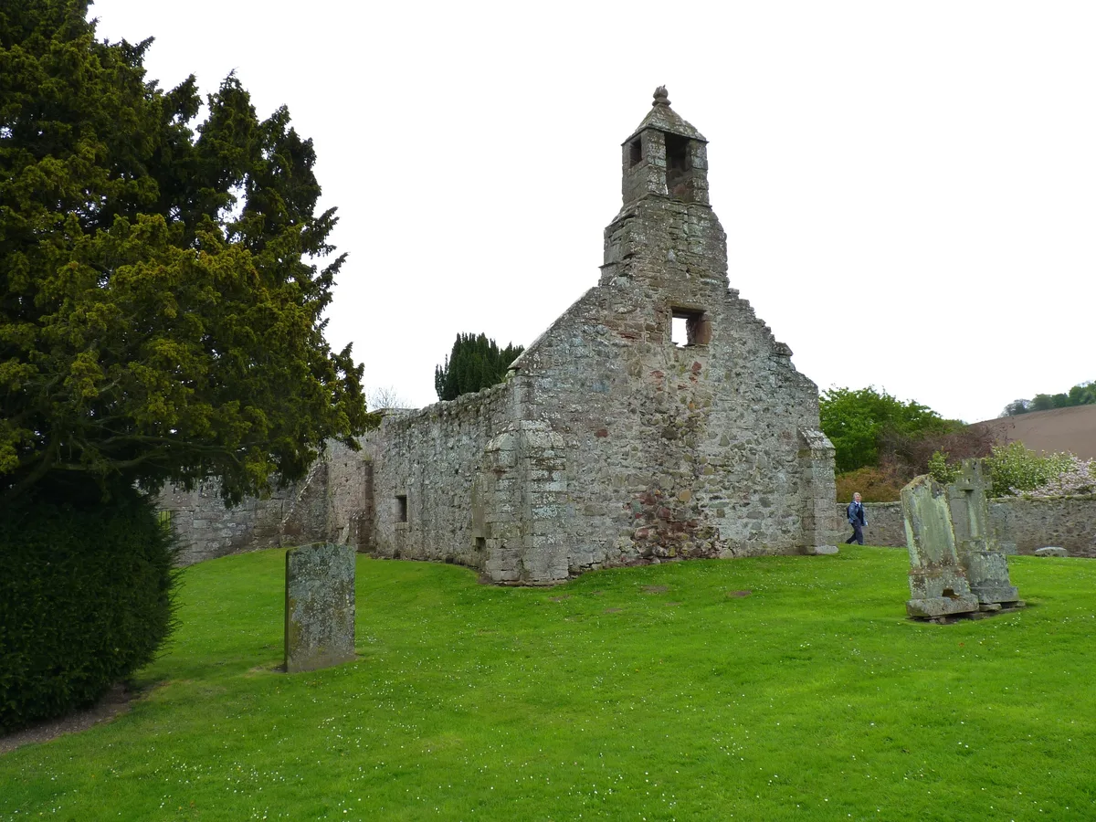
Abdie Church
Historic churches · 1.0 km
Cowden Hill
Mountains & hills · 1.0 km

Cowden Hill
Mountains & hills · 1.0 km

Abdie
Reservoirs & lochs · 1.1 km
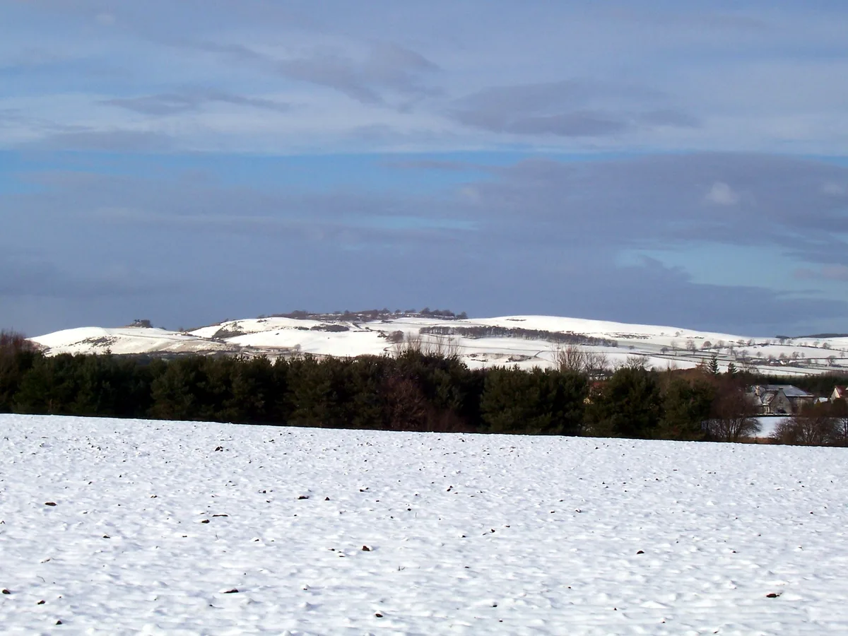
Cairnie Hill
Mountains & hills · 1.3 km
Abdie Parish Kirk
Historic churches · 1.3 km
Nearby
📷 3Archaeological sites · Central Scotland
Inchrye Motte
Inchrye Motte — an archaeological site in Central Scotland, United Kingdom.
📷 3Historic houses · Central Scotland
Inchrye House
Inchrye House — a historic house in Central Scotland, United Kingdom.
📷 5Archaeological sites · Central Scotland
Inchrye House
Inchrye House — archaeological in scotland central.
📷 4📷 5Mountains & hills · Central Scotland
Woodmill Hill
Woodmill Hill — mountain in scotland central. Elevation: 200 m.
📷 4Heritage railway stations · Central Scotland
Lindores railway station
Lindores railway station in Scotland Islands, United Kingdom.
Where to eat & stay near Lindores Loch
Places to stay
 📷 5
📷 5 📷 4
📷 4Caravan parks · Central Scotland
Annsmuir Caravan Park
Annsmuir Caravan Park — a caravan park in scotland central.
 📷 5
📷 5Caravan parks · Central Scotland
Fernlea CL Caravan Site
Fernlea CL Caravan Site — a caravan park in scotland central.
 📷 5
📷 5Campsites · Central Scotland
Pillars of Hercules
Pillars of Hercules — a campsite in scotland central.
 📷 5
📷 5Hotels · Central Scotland
Lomond Hills Hotel
Lomond Hills Hotel — a hotel in scotland central.
 📷 5
📷 5Caravan parks · Central Scotland
South Valleyfield
South Valleyfield — a caravan park in scotland central.
Places to eat & drink
 📷 5
📷 5Historic pubs · Central Scotland
Coaltown of Balgonie
Coaltown of Balgonie in Scotland Islands, United Kingdom.
 📷 5
📷 5Historic pubs · Central Scotland
57, 59, 61 West Port, Dundee
57, 59, 61 West Port, Dundee in Scotland Central, United Kingdom.
 📷 5
📷 5 📷 7
📷 7Historic pubs · Central Scotland
The Pillars Bar, 9, 11 Crichton Street, Dundee
The Pillars Bar, 9, 11 Crichton Street, Dundee in Scotland Central, United Kingdom.
 📷 5
📷 5Historic pubs · Central Scotland
Public House, 15 Dock Street, Dundee
Public House, 15 Dock Street, Dundee in Scotland Central, United Kingdom.
 📷 7
📷 7Historic pubs · Central Scotland
The Counting House
The Counting House in Scotland Central, United Kingdom.
More natural landmarks in this region
 📷 4
📷 4Natural landmarks · Central Scotland
Blackadder Water
Blackadder Water in England North East, United Kingdom.
 📷 3
📷 3Natural landmarks · Central Scotland
A6105 road
A6105 road in England North East, United Kingdom.
 📷 3
📷 3 📷 3
📷 3Frequently asked questions
- Where is Lindores Loch?
- Lindores Loch is in central Scotland, United Kingdom (postcode KY14 6JB).
- What is Lindores Loch?
- Lindores Loch — lake in Fife, Scotland, UK, outflows north to Lindores Burn.
- How do I get to Lindores Loch?
- The nearest railway station is Ladybank, about 7.6 km away. The nearest town is Abernethy. Drivers can use postcode KY14 6JB.
- Is Lindores Loch free to visit?
- Yes, Lindores Loch is free to enter.
- How do I get to Lindores Loch?
- The nearest railway station is Ladybank, about 7.6 km away. Drivers can navigate to postcode KY14 6JB.