
Lighthouses · Scottish Lowlands
Lighthouse, Ayr Harbour
In or near Annbank.
Lighthouse, Ayr Harbour — lighthouse in South Ayrshire, Scotland, UK.

Wikimedia Commons contributors — see linked file page for photographer and licence licence
.jpg)
Plan your visit
- Typical visit
- 30 min–1 h
- Nearest railway station
- Newton-on-Ayr · 0.9 km
- Free entry
- Family-friendly
- Dog-friendly
Getting there & planning your visit
To visit the Lighthouse at Ayr Harbour, the nearest railway station is Newton-on-Ayr, located 0.9 km away. The postcode for the lighthouse is KA8 8AP, and entry is free.
About
Lighthouse, Ayr Harbour is a lighthouse on the coast of the Scottish Lowlands. Officially recognised as category B listed building. It sits within the Ayr, Carrick and Cumnock parliamentary constituency. The nearest railway station is Newton-on-Ayr, about 0.9 km away. Postcode area KA8.
Photo gallery
Heritage listing
Category B Date Added 05/02/1971 Last Date Amended 10/01/1981 Local Authority South Ayrshire Planning Authority South Ayrshire Burgh Ayr NGR NS 32930 22754 Coordinates 232930, 622754 — Ratton Quays on either side of the river, rebuilt in 1713, 1724-30, later alterations. Wet Dock, J I McDerment, 1873, Slip Dock, John Strain, 1883. Lighthouse, Robert Paton, 1841, cottage addition circa 1863. NORTH, SOUTH AND COMPASS PIERS: curved, coursed and squared stone piers (Compass pier much smaller). Internal construction not seen. NORTH BREAKWATER: rectangular-plan breakwater located at harbour entrance. HARBOUR WALLS: mass concrete built quays with granite copings on either side of the River Ayr (North and South Harbour Streets) to New Bridge. GRIFFIN DOCK: near rectangular-plan wet dock. LIGHTHOUSES: 2-cast iron lighthouses, circa 1880 (Griffin Dock constructed 1874-1881) at terminus of South Pier and at entrance to Griffin Dock. South Pier lighthouse (white): abbreviated cylindrical tower; triangular-pane lantern; later angled iron stays. Griffin Dock lighthouse (red and white): concrete base; railed stair; tapering conical tower; triangular-pane lantern; steep conical roof. 4-stage 1841 Paton lighthouse to S of Griffin Dock (3rd stage opening modified); coursed sandstone tapering circular tower; corbelled and railed parapet; domed circular lantern; square-pane light. Attached cottage circa 1850; sandstone (squared in part); grey slate roof; stone skew; coped stack; circular can. — For centuries, Ayr has been a premier trading port on the west coast of Scotland (for example, in 1733 Ayr was re-affirmed as a nominated port to the exclusive British tobacco trade). Following the period of Cromwellian occupation, the town initiated an intensive programme of harbour renewal. Extens
From Historic Environment Scotland under OGL v3.
Place summary
The Lighthouse at Ayr Harbour is a category B listed building located in the Scottish Lowlands. This structure serves as a notable landmark within the harbour, reflecting its historical significance in maritime navigation.
AI-generated from the structured facts on this page (operator, designation, listing, era). Not a substitute for visiting.
- Coordinates
- 55.4691, -4.6376
- District
- South Ayrshire
- Postcode
- KA8 8AP
- Parliamentary constituency
- Ayr, Carrick and Cumnock
- Nearest railway station
- Newton-on-Ayr — 0.9 km
Sources
- wikidata: Q17835719 (CC0)
- commons: ABPs Ayr harbour lighthouses (geograph 3489160).jpg (CC BY-SA 4.0)
Other places nearby

Miller's Folly (c. 1853)
Follies · 0.3 km

Fishing vessel Watchful
Memorials & monuments · 0.3 km

Ayr Castle
Castles · 0.4 km

Ayr Harbour
Harbours & ports · 0.4 km

Salvation Army Citadel, 6 New Street, Ayr
Historic churches · 0.5 km

Newton Tower, Main Street, Ayr
Memorials & monuments · 0.5 km
![[ Former] Darlington Place Church, Main Street, Ayr](https://upload.wikimedia.org/wikipedia/commons/3/3e/Carnegie_Public_Library_-_geograph.org.uk_-_5998118.jpg?utm_source=commons.wikimedia.org&utm_campaign=imageinfo&utm_content=thumbnail_unscaled)
[ Former] Darlington Place Church, Main Street, Ayr
Historic churches · 0.5 km

Newton-On-Ayr New Church, Main Street, Ayr
Historic churches · 0.6 km

13 Fort Street, Ayr
Historic churches · 0.6 km

St John The Baptist's Church, Ayr
Historic churches · 0.6 km
St. John's Tower
Historic houses · 0.6 km

Malt Cross (site of)
Memorials & monuments · 0.6 km
Nearby
📷 3Follies · Scottish Lowlands
Miller's Folly (c. 1853)
Miller's Folly (c. 1853) — a folly in Scottish Lowlands, United Kingdom.
📷 3Memorials & monuments · Scottish Lowlands
Fishing vessel Watchful
Fishing vessel Watchful — a memorial in Scottish Lowlands, United Kingdom.
📷 3📷 3Harbours & ports · Scottish Lowlands
Ayr Harbour
Ayr Harbour — harbor in Ayr, South Ayrshire, Scotland, UK.
📷 5Historic churches · Scottish Lowlands
Salvation Army Citadel, 6 New Street, Ayr
Salvation Army Citadel, 6 New Street, Ayr — category C listed building-listed church in scotland-lowlands, United Kingdom.
📷 5Memorials & monuments · Scottish Lowlands
Newton Tower, Main Street, Ayr
Newton Tower, Main Street, Ayr — category B listed building-listed memorial in scotland-lowlands, United Kingdom.
Where to eat & stay near Lighthouse, Ayr Harbour
Places to stay
 📷 5
📷 5Caravan parks · Scottish Lowlands
Ayr Cragie Gardens Caravan Club
Ayr Cragie Gardens Caravan Club — a caravan park in scotland lowlands.
 📷 5
📷 5Caravan parks · Scottish Lowlands
Crofthead Holiday Park
Crofthead Holiday Park — a caravan park in scotland lowlands.
 📷 6
📷 6 📷 5
📷 5Caravan parks · Scottish Lowlands
Craig Tara
Craig Tara — a caravan park in scotland lowlands.
 📷 5
📷 5Caravan parks · Scottish Lowlands
Prestwick Holiday Park
Prestwick Holiday Park — a caravan park in scotland highlands.
 📷 5
📷 5Caravan parks · Scottish Lowlands
Dutch House Caravan Park
Dutch House Caravan Park — a caravan park in scotland highlands.
Places to eat & drink
 📷 5
📷 5Historic pubs · Scottish Lowlands
Railway Tavern, 18 Smith Street, Ayr
Railway Tavern, 18 Smith Street, Ayr in Scotland Lowlands, United Kingdom.
 📷 5
📷 5Historic pubs · Scottish Lowlands
The White House and Adjoining Joiner's Shop, Kirkmichael Arms, Straiton Road, Kirkmichael
The White House and Adjoining Joiner's Shop, Kirkmichael Arms, Straiton Road, Kirkmichael in Scotland Lowlands, United Kingdom.
 📷 7
📷 7Historic pubs · Scottish Lowlands
Commercial Inn, 1-3 Mill Street, Ochiltree
Commercial Inn, 1-3 Mill Street, Ochiltree in Scotland Lowlands, United Kingdom.
 📷 5
📷 5Historic pubs · Scottish Lowlands
The Clansman, 58, 60, 62 John Finnie Street, Kilmarnock
The Clansman, 58, 60, 62 John Finnie Street, Kilmarnock in Scotland Central, United Kingdom.
 📷 5
📷 5Historic pubs · Scottish Lowlands
Public House, Lawthorn, Irvine
Public House, Lawthorn, Irvine in Scotland Central, United Kingdom.
 📷 7
📷 7Historic pubs · Scottish Lowlands
Weston Tavern
Weston Tavern in Scotland Central, United Kingdom.
More lighthouses in this region
 📷 3
📷 3Lighthouses · Scottish Lowlands
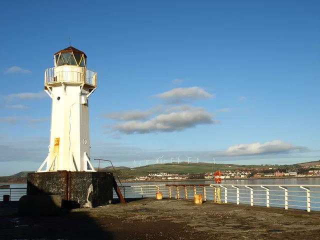
Ardrossan Pierhead Lighthouse
Ardrossan Pierhead Lighthouse — lighthouse in Ardrossan, Scotland.
 📷 3
📷 3Lighthouses · Scottish Lowlands
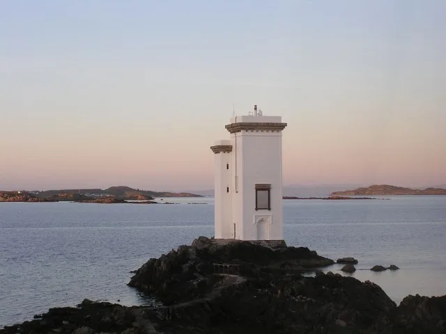
Carraig Fhada Lighthouse
Carraig Fhada Lighthouse — lighthouse in Argyll and Bute, Scotland, UK.
 📷 3
📷 3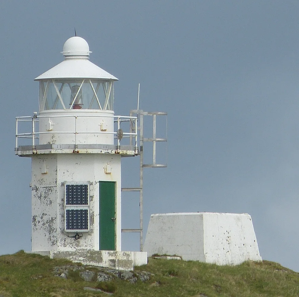 📷 3
📷 3Lighthouses · Scottish Lowlands
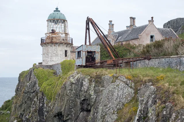
Eilean a' Chùirn Lighthouse
Eilean a' Chùirn Lighthouse — lighthouse in Argyll and Bute, Scotland, UK.
Frequently asked questions
- Where is Lighthouse, Ayr Harbour?
- Lighthouse, Ayr Harbour is in the Scottish Lowlands, United Kingdom (postcode KA8 8AP).
- What is Lighthouse, Ayr Harbour?
- Lighthouse, Ayr Harbour — lighthouse in South Ayrshire, Scotland, UK.
- How do I get to Lighthouse, Ayr Harbour?
- The nearest railway station is Newton-on-Ayr, about 0.9 km away. The nearest town is Annbank. Drivers can use postcode KA8 8AP.
- Is Lighthouse, Ayr Harbour a listed building?
- Lighthouse, Ayr Harbour is officially recognised as category B listed building listed.
- Is Lighthouse, Ayr Harbour free to visit?
- Yes, Lighthouse, Ayr Harbour is free to enter.
- How do I get to Lighthouse, Ayr Harbour?
- The nearest railway station is Newton-on-Ayr, about 0.9 km away. Drivers can navigate to postcode KA8 8AP.