
Canals · West Midlands
Lichfield Canal
In or near Lichfield.
Lichfield Canal — English canal under restoration.

Wikimedia Commons contributors — see linked file page for photographer and licence licence

Plan your visit
- Typical visit
- 1 h–2 h
- Nearest railway station
- Lichfield City · 2.7 km
- Free entry
- Dog-friendly
Getting there & planning your visit
To visit Lichfield Canal, the nearest railway station is Lichfield City, located 2.7 km away. The postcode for the canal is WS13 8JX, and entry is free.
About
Lichfield Canal is a canal in the United Kingdom. Wikidata describes it as: "English canal under restoration". Coordinates: 52.6665°, -1.8589°.
Photo gallery
From the Wikipedia article
The Lichfield Canal, as it is now known, was historically a part of the Wyrley and Essington Canal, being the section of that canal from Ogley Junction at Brownhills on the northern Birmingham Canal Navigations to Huddlesford Junction, east of Lichfield, on the Coventry Canal, a length of 7 miles (11.3 km). The branch was abandoned in 1955, along with several other branches of the Wyrley and Essington, and much of it was filled in. Restoration plans were first voiced in 1975, and since 1990, the Lichfield & Hatherton Canals Restoration Trust have been actively engaged in excavating and rebuilding sections of the canal as they have become available. Major projects have included an isolated aqueduct over the M6 Toll motorway, ready for when the canal reaches it.
Excerpt from Wikipedia under CC BY-SA 4.0. See the source article linked in Sources below.
Background
History
The Wyrley and Essington Canal was built under an act of Parliament, the Birmingham Canal Navigation Act 1792 (32 Geo. 3. c. 81), passed on 30 April 1792, for a canal which would run from Horseley Junction near Wolverhampton to Sneyd Junction, near Bloxwich. The main line would be level, following the 473 ft contour. From this junction, a branch would run to Wyrley Bank and on to Essington, which would include nine locks, and another level branch would run to Birchills, near Walsall. In 1794, the company obtained a second act of Parliament, the Wyrley and Essington Canal Act 1794 (34 Geo. 3. c. 25), which authorised a long extension from Birchills to Brownhills, again on the level, but then…
Sourced from Wikipedia under CC BY-SA 4.0.
- Coordinates
- 52.6665, -1.8589
- County
- Staffordshire
- District
- Lichfield
- Parish
- Wall
- Postcode
- WS13 8JX
- Parliamentary constituency
- Lichfield
- Established
- 1797
- Nearest railway station
- Lichfield City — 2.7 km
Sources
- wikidata: Q6543259 (CC0)
- wikipedia: Lichfield Canal (CC BY-SA 4.0)
- commons: The Lichfield Canal at Huddlesford Junction - geograph.org.uk - 1163861.jpg (CC BY-SA 4.0)
Other places nearby

Wall, Staffordshire
Museums · 1.0 km

Letocetum Roman Baths and Museum
Museums · 1.1 km
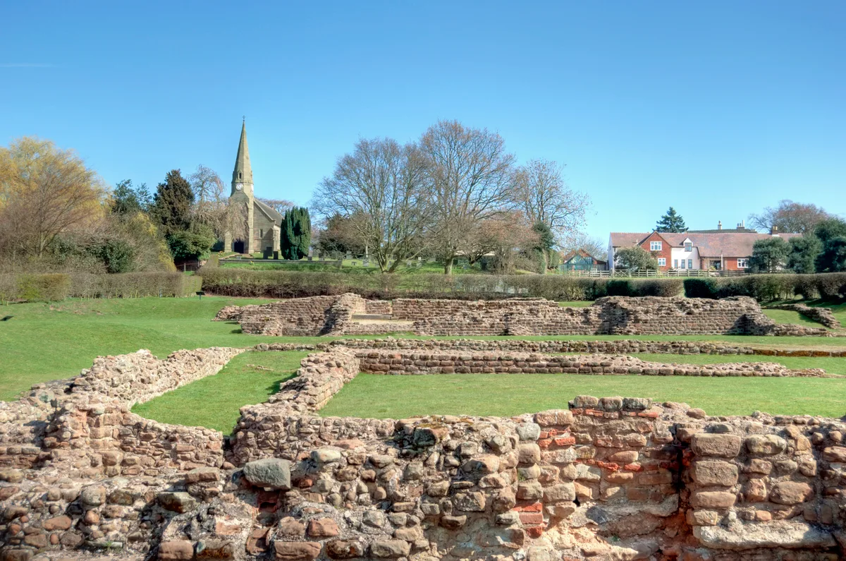
Letocetum
Hill forts · 1.1 km

Wall Roman Site Museum
Museums · 1.1 km

The 'Oss
Public art & sculpture · 1.3 km

Erasmus Darwin
Public art & sculpture · 1.7 km

Edial Hall School
Historic houses · 1.9 km

Maple Hayes
Historic houses · 1.9 km
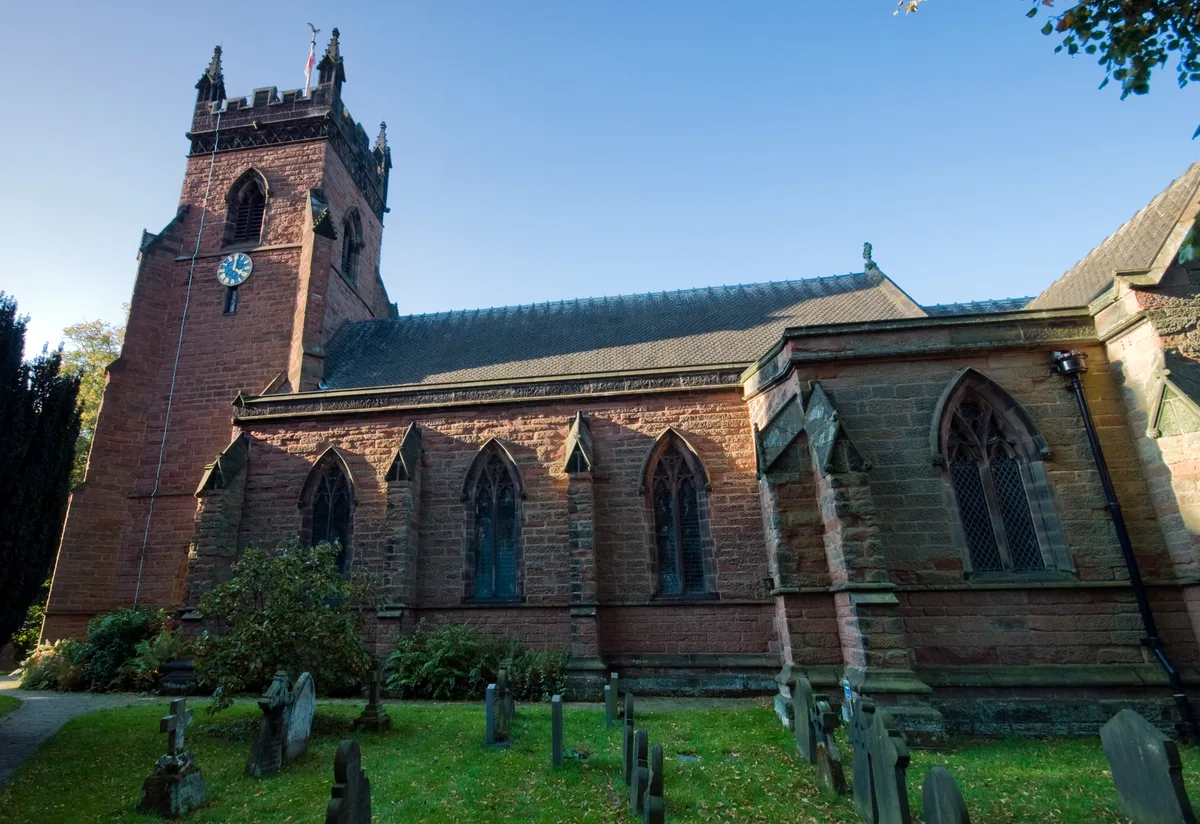
Christ Church, Lichfield
Historic churches · 2.1 km

Hammerwich Hall
Manor houses · 2.2 km

Clock Tower
Memorials & monuments · 2.3 km

Clock Tower
Memorials & monuments · 2.3 km
Nearby
📷 5Museums · West Midlands
Wall, Staffordshire
Wall, Staffordshire — a museum in england-west-midlands, United Kingdom.
📷 3Museums · West Midlands
Letocetum Roman Baths and Museum
Letocetum Roman Baths and Museum — a museum in england-west-midlands, United Kingdom.
📷 5Hill forts · West Midlands
Letocetum
Letocetum is a hill fort in the United Kingdom.
📷 3Museums · West Midlands
Wall Roman Site Museum
Wall Roman Site Museum — a museum in england-west-midlands, United Kingdom.
📷 3Public art & sculpture · West Midlands
The 'Oss
The 'Oss — a public art in england-west-midlands, United Kingdom.
📷 4Public art & sculpture · West Midlands
Erasmus Darwin
Erasmus Darwin — a public art in england-west-midlands, United Kingdom.
Where to eat & stay near Lichfield Canal
Places to stay
 📷 5
📷 5Hotels · West Midlands
George Hotel
George Hotel — a hotel in england west midlands.
 📷 5
📷 5 📷 5
📷 5Campsites · West Midlands
The Paddock Certificated Site
The Paddock Certificated Site — a campsite in england west midlands.
 📷 5
📷 5Caravan parks · West Midlands
Kingfisher Holiday Park
Kingfisher Holiday Park — a caravan park in england east midlands.
 📷 5
📷 5Caravan parks · West Midlands
Cannock Chase Camping and Caravanning Club
Cannock Chase Camping and Caravanning Club — a caravan park in england east midlands.
 📷 5
📷 5Hotels · West Midlands
Moor Hall Hotel & Spa
Moor Hall Hotel & Spa — a hotel in england west midlands. 4-star. Brand: Best Western.
Places to eat & drink
 📷 5
📷 5Restaurants · West Midlands
Lichfield House
Lichfield House — a restaurant in england west midlands.
 📷 5
📷 5Restaurants · West Midlands
Thai Rainbow
Thai Rainbow — a restaurant in england west midlands.
 📷 5
📷 5 📷 5
📷 5Historic pubs · West Midlands
Prince Of Wales Public House
Prince Of Wales Public House in England West Midlands, United Kingdom.
 📷 5
📷 5Historic pubs · West Midlands
The Scales Public House
The Scales Public House in England West Midlands, United Kingdom.
 📷 5
📷 5Historic pubs · West Midlands
Earl Of Lichfield Arms Public House
Earl Of Lichfield Arms Public House in England West Midlands, United Kingdom.
More places in this region
 📷 5
📷 5 📷 3
📷 3 📷 4
📷 4 📷 3
📷 3Frequently asked questions
- Where is Lichfield Canal?
- Lichfield Canal is in Staffordshire, the West Midlands, United Kingdom (postcode WS13 8JX), in the parish of Wall.
- What is Lichfield Canal?
- Lichfield Canal — English canal under restoration.
- How do I get to Lichfield Canal?
- The nearest railway station is Lichfield City, about 2.7 km away. The nearest town is Lichfield. Drivers can use postcode WS13 8JX.
- When was Lichfield Canal built?
- Built or established in 1797.
- Is Lichfield Canal free to visit?
- Yes, Lichfield Canal is free to enter.
- How do I get to Lichfield Canal?
- The nearest railway station is Lichfield City, about 2.7 km away. Drivers can navigate to postcode WS13 8JX.