Stadiums · West Midlands
Liberty Way
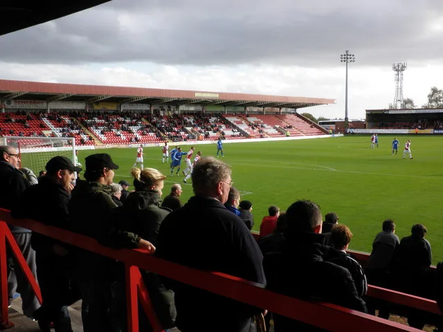
Liberty Way — stadium in Nuneaton, Warwickshire, England, United Kingdom.

Wikimedia Commons contributors — see linked file page for photographer and licence licence
Plan your visit
- Typical visit
- 1.5 h–3 h
- Nearest railway station
- Nuneaton · 1.6 km
About
Liberty Way is a stadium in the United Kingdom. Wikidata describes it as: "stadium in Nuneaton, Warwickshire, England, United Kingdom". Coordinates: 52.5207°, -1.4425°.
Photo gallery
From the Wikipedia article
The Liberty Way Sports Grounds are owned by Nuneaton Rugby Club, which rents the stadium pitch from a third party. Liberty Way has been used by the rugby club since the 1990s. There was a period from 2007-2023 where the Stadium Pitch was leased and operated by Nuneaton Borough F.C. until the football club got into financial difficulties in late 2023.
Excerpt from Wikipedia under CC BY-SA 4.0. See the source article linked in Sources below.
- Coordinates
- 52.5207, -1.4425
- County
- Warwickshire
- District
- Nuneaton and Bedworth
- Parish
- Nuneaton and Bedworth, unparished area
- Postcode
- CV11 6RR
- Parliamentary constituency
- Nuneaton
- Nearest railway station
- Nuneaton — 1.6 km
Sources
- wikidata: Q6542172 (CC0)
- wikipedia: Liberty Way Sports Grounds (CC BY-SA 4.0)
- commons: Britannia Tyres Stand Liberty Way.jpg (CC BY-SA 4.0)
Other places nearby
Loading nearby places…
Nearby
 📷 5
📷 5Historic churches · West Midlands
Guru Nanak Gurdwara Sikh Temple
Guru Nanak Gurdwara Sikh Temple — a church in england-west-midlands, United Kingdom.
 📷 3
📷 3Memorials & monuments · West Midlands
Old Boys of Vicarage Street School War Memorial
Old Boys of Vicarage Street School War Memorial — Grade II listed building-listed memorial in england-west-midlands, United Kingdom.
 📷 5
📷 5Beaches · West Midlands
library
library is a beach in the United Kingdom.
 📷 5
📷 5Country parks · West Midlands
Riversley Park
Riversley Park — park in Nuneaton, Warwickshire, England.
 📷 3
📷 3Memorials & monuments · West Midlands
Boer War Memorial
Boer War Memorial is a memorial in the United Kingdom.
📷 3Memorials & monuments · West Midlands
Nuneaton War Memorial
Nuneaton War Memorial — Grade II listed building-listed memorial in england-west-midlands, United Kingdom.
More places in this region
 📷 3
📷 3Stadiums · West Midlands
Abbey Greyhound Stadium
Abbey Greyhound Stadium is a stadium in the United Kingdom.
 📷 3
📷 3Stadiums · West Midlands
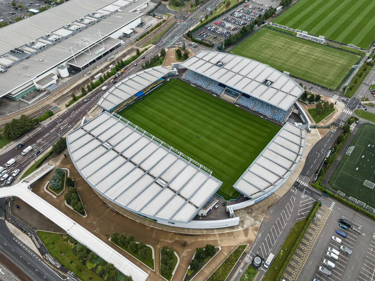
Academy Stadium
Academy Stadium — football stadium in Manchester, UK.
 📷 3
📷 3Stadiums · West Midlands
Adams Park
Adams Park — football stadium in England.
 📷 3
📷 3Stadiums · West Midlands
Aggborough
Aggborough — English football stadium.
Frequently asked questions
- Where is Liberty Way?
- Liberty Way is in West Midlands, in the United Kingdom — coordinates 52.5207°, -1.4425°. The nearest railway station is Nuneaton, around 1.6 km away.