Wildlife reserves · South East England
Letcombe Valley
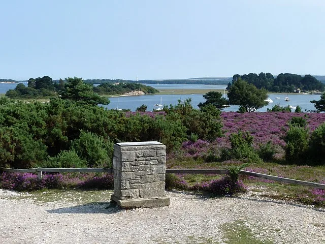
Letcombe Valley is a wildlife reserve in the United Kingdom.

Wikimedia Commons licence
Plan your visit
- Typical visit
- 2 h–4 h
- Best time of year
- Autumn & winter (migration & wildfowl)
- Free entry
- Dog-friendly
About
Letcombe Valley is a wildlife reserve in the United Kingdom. Coordinates: 51.5705°, -1.4572°. This entry is part of The Great Britain Guide, a free, ad-free, open-data tourist directory.
Photo gallery
Protected designations
- Area of Outstanding Natural Beauty: Cotswolds
- Area of Outstanding Natural Beauty: North Wessex Downs
Designations sourced from Natural England open data under OGL v3.
From the Wikipedia article
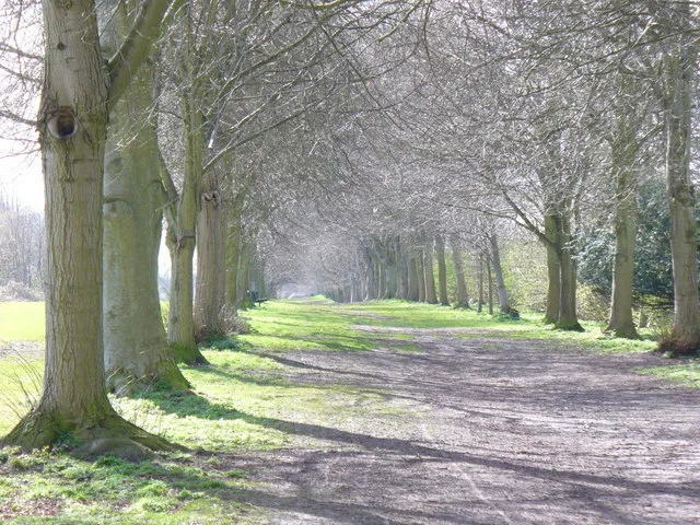
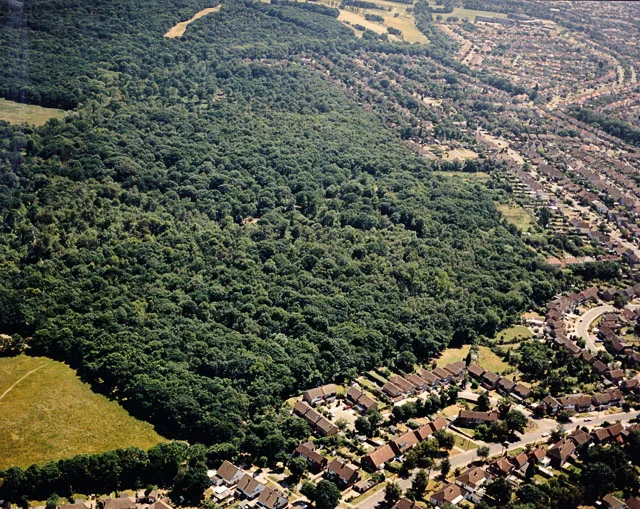
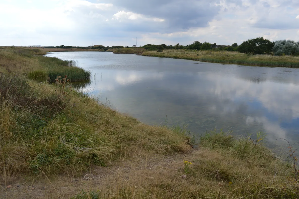
Letcombe Valley is a 7.5-hectare (19-acre) nature reserve south of Letcombe Regis in Oxfordshire. It is managed by the Berkshire, Buckinghamshire and Oxfordshire Wildlife Trust (BBOWT), with the assistance of the Friends of Letcombe Valley. The reserve was part of a manor formerly known as Benhams, which was purchased in 1851 by a racehorse owner called Thomas Parr. After the Second World War, the manor became a centre for scientific research, which was acquired in 1985 by a chemical company, Dow Elanco. The company created a nature reserve on land next to Letcombe Brook, and when the research centre closed in 2002 the main part of the site was developed for housing. BBOWT was given a fifty-year lease on the nature reserve in 2010 as a condition of planning permission for the housing. Letcombe Brook, which runs through the reserve, is one of only two chalk streams in Oxfordshire and 161 nationwide. Wildlife includes water voles and fish such as bullhead, brown trout and the primitive brook lamprey. There are also Daubenton's bats, while insects include rare flies. Additional habitats are ancient woodland and a small area of chalk grassland. There is access from a bridleway at the top of South Street.
Excerpt from Wikipedia under CC BY-SA 4.0. See the source article linked in Sources below.
- Coordinates
- 51.5705, -1.4572
- County
- Oxfordshire
- District
- Vale of White Horse
- Parish
- Letcombe Bassett
- Postcode
- OX12 9LL
- Parliamentary constituency
- Didcot and Wantage
- Official site
- www.bbowt.org.uk
Sources
- wikidata: Q24993526 (CC0)
- wikipedia: Letcombe Valley (CC BY-SA 4.0)
Other places nearby
Loading nearby places…
Nearby
📷 5Forests & woodlands · South East England
Letcombe Valley
Letcombe Valley is a forest or woodland in the United Kingdom.
 📷 5
📷 5Castles · South East England
Segsbury Camp
Segsbury Camp or Segsbury Castle is an Iron Age hillfort on the crest of the Berkshire Downs, near the Ridgeway above Wantage, in the Vale of White Horse district of Oxfordshire, England. It is in Let
📷 5Castles · South East England
Segsbury or Letcombe Castle (iron age fort)
Segsbury or Letcombe Castle (iron age fort) — a castle in england-south-east, United Kingdom.
Hostels · South East England
Court Hill Centre
Court Hill Centre — a hostel in england south east.
 📷 5
📷 5Public art & sculpture · South East England
The Last Laugh
The Last Laugh — a public art in england-south-east, United Kingdom.
📷 5Public art & sculpture · South East England
Upper Lambourne
Upper Lambourne — a public art in england-south-east, United Kingdom.
More places in this region
 Flagship📷 10
Wildlife reserves · South East England
Arne RSPB reserve
Arne RSPB reserve — RSPB nature reserve in the United Kingdom.
 Flagship📷 10
Wildlife reserves · South East England
Farnham Park
Farnham Park — nature reserve in Surrey, England, UK.
 Flagship📷 10
Wildlife reserves · South East England
Great Wood and Dodd's Grove
Great Wood and Dodd's Grove — Essex Wildlife Trust Nature reserve.
 Flagship📷 10
Wildlife reserves · South East England
Gunners Park and Shoebury Ranges
Gunners Park and Shoebury Ranges — Essex Wildlife Trust Nature reserve.
Frequently asked questions
- Where is Letcombe Valley?
- Letcombe Valley is in Oxfordshire, South-East England, United Kingdom (postcode OX12 9LL), in the parish of Letcombe Bassett.
- Is Letcombe Valley a protected site?
- Yes — Letcombe Valley is part of the Cotswolds National Landscape (AONB) and the North Wessex Downs National Landscape (AONB).
- Is Letcombe Valley free to visit?
- Yes, Letcombe Valley is free to enter.
- How do I get to Letcombe Valley?
- Drivers can navigate to postcode OX12 9LL. It sits within the Didcot and Wantage parliamentary constituency.
- Are dogs allowed at Letcombe Valley?
- Most wildlife reserves allow dogs on lead only, with restrictions during ground-nesting bird season (March-July). Check signage at the reserve.