Historic churches · East Midlands
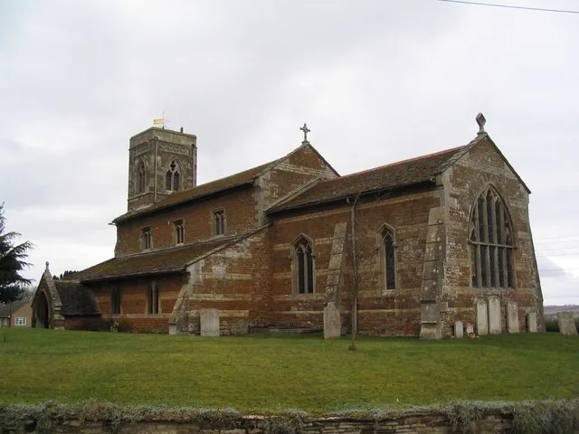
Leighfield
In or near Ridlington.
Leighfield is a civil parish in the county of Rutland in the East Midlands of England. There is no settlement centre in the parish, only a few isolated properties. In the 2001 census it had a populati

Andrew Tatlow — CC BY-SA 2.0 via Wikimedia Commons licence
Plan your visit
- Typical visit
- 30 min–1 h
- Nearest railway station
- Oakham · 7.1 km
- Free entry
Getting there & planning your visit
To visit Leighfield church in the West Midlands, the nearest railway station is Oakham, located 7.1 km away. Entry to the church is free.
About
Leighfield is a civil parish in the county of Rutland in the East Midlands of England. There is no settlement centre in the parish, only a few isolated properties. In the 2001 census it had a population of 10, which was the fourth smallest of Rutland's parish populations. At the 2011 census the population remained less than 100 and was included in the civil parish of Ridlington. It shares its name with Leighfield Forest, a much larger area from Braunston-in-Rutland to Stockerston and from Skeffington to Ridlington, a triangle of land roughly 4 miles (6.4 km) in each direction. The village's name means 'Wood/clearing'. Spellings with the addition of the Old English word 'feld' meaning 'open land' started to appear from the 14th century. The Leighfield Way is a 7.4 miles (11.9 km) waymarked route joining the Leicestershire and Rutland Rounds at Belton-in-Rutland with the Hereward Way and Viking Way at Oakham.
Photo gallery
From the Wikipedia article
Leighfield is a civil parish in the county of Rutland in the East Midlands of England. There is no settlement centre in the parish, only a few isolated properties. In the 2001 census it had a population of 10, which was the fourth smallest of Rutland's parish populations. At the 2011 census the population remained less than 100 and was included in the civil parish of Ridlington. It shares its name with Leighfield Forest, a much larger area from Braunston-in-Rutland to Stockerston and from Skeffington to Ridlington, a triangle of land roughly 4 miles (6.4 km) in each direction. The village's name means 'Wood/clearing'. Spellings with the addition of the Old English word 'feld' meaning 'open land' started to appear from the 14th century. The Leighfield Way is a 7.4 miles (11.9 km) waymarked route joining the Leicestershire and Rutland Rounds at Belton-in-Rutland with the Hereward Way and Viking Way at Oakham.
Excerpt from Wikipedia under CC BY-SA 4.0. See the source article linked in Sources below.
- Coordinates
- 52.6130, -0.7720
- District
- Rutland
- Parish
- Ridlington
- Postcode
- LE15 9AS
- Parliamentary constituency
- Rutland and Stamford
- Nearest railway station
- Oakham — 7.1 km
- Official site
- www.visionofbritain.org.uk
Sources
- wikipedia: Leighfield (CC BY-SA 4.0)
Other places nearby

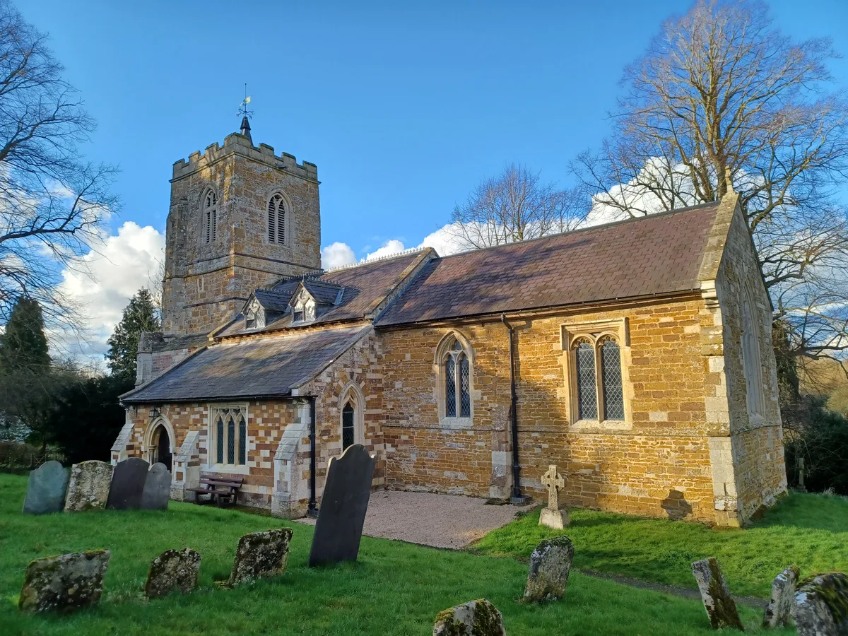
Church of St Mary Magdalene and St Andrew, Ridlington
Historic churches · 1.6 km

Belton-in-Rutland War Memorial
Memorials & monuments · 1.9 km

St Peter's Church, Belton-in-Rutland
Historic churches · 1.9 km

Old Hall
Historic houses · 1.9 km
Ridlington
Towns & cities · 2.0 km

Wardley
Towns & cities · 2.0 km

St Botolph's Church, Wardley
Historic churches · 2.0 km

Belton-in-Rutland
Historic churches · 2.4 km
St Peter's Church, Allexton
Historic churches · 2.5 km

Uppingham Castle Hill
Castles · 2.6 km
Castle Hill motte and bailey
Literary houses · 2.6 km

Beaumont Chase
Historic churches · 2.7 km
Nearby
📷 5Historic churches · East Midlands
Church of St Mary Magdalene and St Andrew, Ridlington
The Church of St Mary Magdalene and St Andrew is the Church of England parish church in Ridlington, Rutland. It is a Grade II* listed building.
📷 3Memorials & monuments · East Midlands
Belton-in-Rutland War Memorial
Belton-in-Rutland War Memorial — Grade II listed building-listed memorial in england-west-midlands, United Kingdom.
📷 5Historic churches · East Midlands
St Peter's Church, Belton-in-Rutland
St Peter's Church, Belton-in-Rutland — a church in england-west-midlands, United Kingdom.
📷 3Historic houses · East Midlands
Old Hall
Old Hall — house in Belton-in-Rutland, Rutland, England, UK.
Flagship📷 5Towns & cities · East Midlands
Ridlington
Ridlington — village and civil parish in Rutland in the East Midlands of England.
Flagship📷 4Towns & cities · East Midlands
Wardley
Wardley — village and civil parish in Rutland, England, UK.
Where to eat & stay near Leighfield
Places to stay
 📷 5
📷 5 📷 5
📷 5Campsites · East Midlands
Wing Hall Camping & Caravan Site
Wing Hall Camping & Caravan Site — a campsite in england west midlands.
 📷 5
📷 5Campsites · East Midlands
The Paddock
The Paddock — a campsite in england west midlands.
 📷 7
📷 7Hotels · East Midlands
Wisteria Hotel
Wisteria Hotel — a hotel in england west midlands.
📷 5Campsites · East Midlands
Lyndon Top
Lyndon Top — a campsite in england west midlands.
 📷 5
📷 5Campsites · East Midlands
Rutland Water Campsite
Rutland Water Campsite — a campsite in england west midlands.
Places to eat & drink
 📷 5
📷 5 📷 5
📷 5Historic pubs · East Midlands
The Old Royal Oak Public House
The Old Royal Oak Public House in England East Midlands, United Kingdom.
 📷 5
📷 5Historic pubs · East Midlands
The Sun Public House
The Sun Public House in England East Midlands, United Kingdom.
 📷 5
📷 5Historic pubs · East Midlands
The White Swan Public House And Attached Carriage Arch
The White Swan Public House And Attached Carriage Arch in England East, United Kingdom.
 📷 5
📷 5Historic pubs · East Midlands
The Stilton Cheese
The Stilton Cheese in England East Midlands, United Kingdom.
 📷 5
📷 5Historic pubs · East Midlands
Horse and Trumpet Inn
Horse and Trumpet Inn in England East Midlands, United Kingdom.
More places in this region
 📷 5
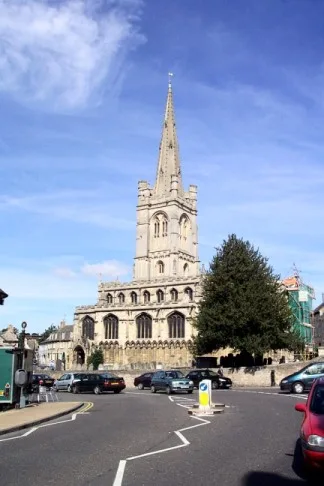
📷 5Historic churches · East Midlands
All Saints' Church, Stamford
All Saints' Church, Stamford — church in Stamford, Lincolnshire, England, UK.
 📷 5
📷 5Historic churches · East Midlands
Church of All Saints
Church of All Saints — church in Little Casterton, Rutland, United Kingdom.
 📷 5
📷 5Historic churches · East Midlands
Church of All Saints
Church of All Saints — church in Fenland, UK.
 📷 5
📷 5Historic churches · East Midlands
Church of St Leonard
Church of St Leonard — church in Fenland, UK.
Frequently asked questions
- Where is Leighfield?
- Leighfield is in the West Midlands, United Kingdom (postcode LE15 9AS), in the parish of Ridlington.
- What is Leighfield?
- Leighfield is a civil parish in the county of Rutland in the East Midlands of England. There is no settlement centre in the parish, only a few isolated properties. In the 2001 census it had a populati
- How do I get to Leighfield?
- The nearest railway station is Oakham, about 7.1 km away. Drivers can use postcode LE15 9AS.
- Is Leighfield free to visit?
- Yes, Leighfield is free to enter.
- How do I get to Leighfield?
- The nearest railway station is Oakham, about 7.1 km away. Drivers can navigate to postcode LE15 9AS.