
Stadiums · East Midlands
Leicester Road
In or near Aston Flamville.
Leicester Road — Cricket ground in Hinckley, Leicestershire.

Wikimedia Commons licence
Plan your visit
- Typical visit
- 1.5 h–3 h
- Nearest railway station
- Hinckley · 3.2 km
Getting there & planning your visit
To visit Leicester Road stadium, the nearest railway station is Hinckley, which is approximately 3.2 km away. The postcode for sat-nav is LE9 8DA. Entry details are not provided, so please check in advance for accessibility and any potential fees.
About
Leicester Road is a stadium in the United Kingdom. Wikidata describes it as: "Cricket ground in Hinckley, Leicestershire". Coordinates: 52.5578°, -1.3420°.
Photo gallery
From the Wikipedia article
The Leicester Road Ground is a cricket ground based in the town of Hinckley, Leicestershire. It has, in the past, been used by Leicestershire as an outground and has held 11 first class games in total. The first game took place in 1981 against Nottinghamshire and the last in 1991 against Gloucestershire. There is also a football stadium on Leicester Road Hinckley which is host to Leicester Road Football Club and Leicester Falcons American Football Club. Part of this stadium was acquired by former HUFC directors under dubious circumstances. The majority of the site is owned by Downes pension fund, The Powers Trust and a local businessman who is the chair of Hinckley AFC. The small part of the site allegedly owned by Leicester Road Stadium comprises the pitch and some car parking. A police investigation for fraud was not carried through to a prosecution as they decided it was not in the public interest to continue. There is an outstanding appeal against this decision. The ground is now used as the home ground for Premier League side, Hinckley Town Cricket Club, as well as the City Cricket Academy games, due to both organisations involvement with Anshuman Bhagawati, who owns the Academy. The ground is also used as an outground for the Leicestershire 2nd XI, with several fixtures being held here during the midweek. The Leicester Road sports ground also has facilities for rugby and squash to be played, as well as the tennis courts. With limited parking onsite, for major events, the clubhouse has the option of parking at the adjoined football ground. Not to be confused with the home ground of Hinckley Amateurs Cricket Club.
Excerpt from Wikipedia under CC BY-SA 4.0. See the source article linked in Sources below.
- Coordinates
- 52.5578, -1.3420
- County
- Leicestershire
- District
- Hinckley and Bosworth
- Parish
- Hinckley and Bosworth, unparished area
- Postcode
- LE9 8DA
- Parliamentary constituency
- Hinckley and Bosworth
- Nearest railway station
- Hinckley — 3.2 km
Sources
- wikidata: Q6519217 (CC0)
- wikipedia: Leicester Road (CC BY-SA 4.0)
Other places nearby

De Montfort Park
Stadiums · 0.2 km
War Memorial
Memorials & monuments · 0.9 km

Red Hall Top
Viewpoints · 1.3 km

Elmesthorpe
Villages · 2.1 km

War Memorial at St Peter’s Roman Catholic Church
Memorials & monuments · 2.2 km

Earl Shilton War Memorial
Memorials & monuments · 2.6 km

Concordia Theatre
Theatres · 2.6 km

Hinckley War Memorial Wall
Memorials & monuments · 2.6 km

Concordia Theatre
Open-air theatres · 2.6 km

Hinckley Castle
Literary houses · 2.6 km

Hinckley War Memorial
Memorials & monuments · 2.6 km

War Memorial
Memorials & monuments · 2.6 km
Nearby
📷 3Stadiums · East Midlands
De Montfort Park
De Montfort Park — football stadium complex in Hinckley, United Kingdom.
Memorials & monuments · East Midlands
War Memorial
War Memorial — a memorial in england east midlands.
📷 3📷 5📷 3Memorials & monuments · East Midlands
War Memorial at St Peter’s Roman Catholic Church
War Memorial at St Peter’s Roman Catholic Church — Grade II listed building-listed memorial in england-west-midlands, United Kingdom.
📷 3Memorials & monuments · East Midlands
Earl Shilton War Memorial
Earl Shilton War Memorial — Grade II listed building-listed memorial in england-west-midlands, United Kingdom.
Where to eat & stay near Leicester Road
Places to stay
 📷 4
📷 4Campsites · East Midlands
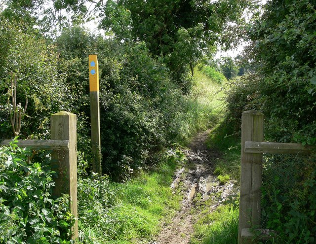
Fortway Farm
Fortway Farm — a campsite in england west midlands.
 📷 5
📷 5Campsites · East Midlands
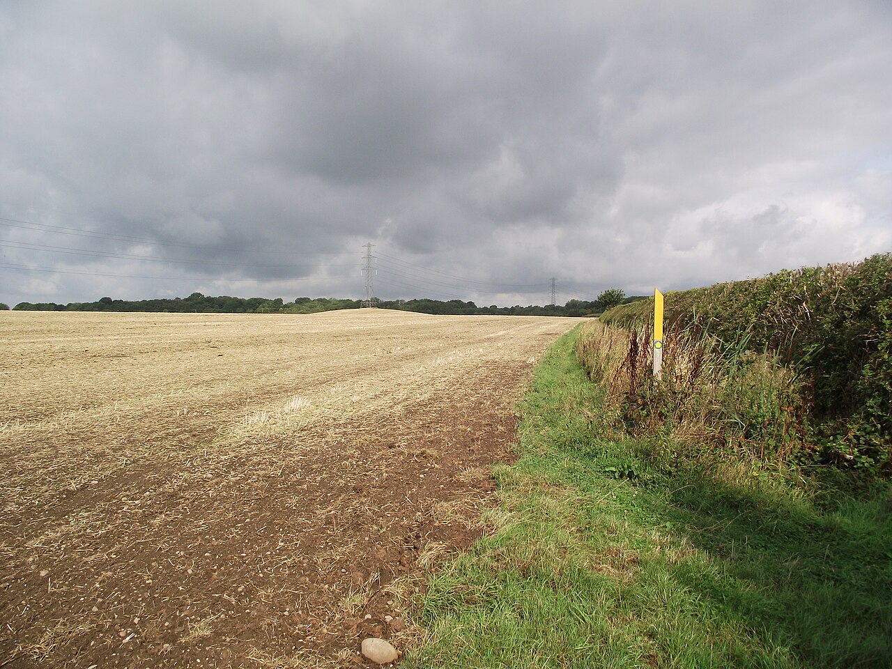
Fox Covert Scout Camp
Fox Covert Scout Camp — a campsite in england west midlands.
 📷 5
📷 5Campsites · West Midlands
Makins Fishery Campsite
Makins Fishery Campsite — a campsite in england west midlands.
 📷 5
📷 5 📷 5
📷 5Campsites · West Midlands
Wolvey Villa Farm C. & C. Site
Wolvey Villa Farm C. & C. Site — a campsite in england west midlands.
 📷 5
📷 5Caravan parks · South East England
Upton Barn Caravan and Camping site
Upton Barn Caravan and Camping site — a caravan park in england west midlands.
Places to eat & drink
 📷 5
📷 5Historic pubs · East Midlands
Narborough Arms
Narborough Arms in England East Midlands, United Kingdom.
 📷 3
📷 3Historic pubs · South East England
Blue Lion
Blue Lion — Historic pub — listed building or notable heritage status.
 📷 5
📷 5Historic pubs · East Midlands
The Olde Royal Oak Public House
The Olde Royal Oak Public House in England East Midlands, United Kingdom.
 📷 3
📷 3Historic pubs · West Midlands
The Old Swan
The Old Swan — Historic pub — listed building or notable heritage status.
 📷 3
📷 3Historic pubs · West Midlands
Market Tavern
Market Tavern — Historic pub — listed building or notable heritage status.
 📷 3
📷 3Historic pubs · West Midlands
New Swan Inn
New Swan Inn — Historic pub — listed building or notable heritage status.
More places in this region
 📷 3
📷 3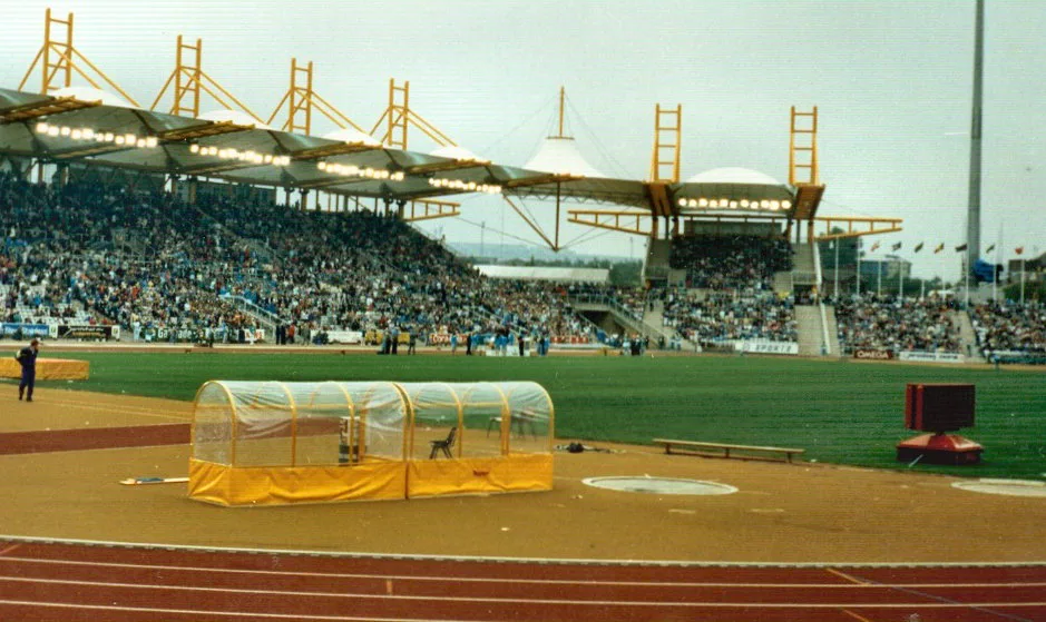 📷 3
📷 3Stadiums · East Midlands
Don Valley Stadium
Don Valley Stadium is a stadium in the United Kingdom.
 📷 3
📷 3Stadiums · East Midlands
Harvey Hadden Stadium
Harvey Hadden Stadium is a stadium in the United Kingdom.
.jpg?width=1200) 📷 3
📷 3Stadiums · East Midlands
Herringthorpe Stadium
Herringthorpe Stadium — athletics stadium in Rotherham, South Yorkshire, England.
Frequently asked questions
- Where is Leicester Road?
- Leicester Road is in Leicestershire, the East Midlands, United Kingdom (postcode LE9 8DA), in the parish of Hinckley and Bosworth, unparished area.
- What is Leicester Road?
- Leicester Road — Cricket ground in Hinckley, Leicestershire.
- How do I get to Leicester Road?
- The nearest railway station is Hinckley, about 3.2 km away. The nearest town is Aston Flamville. Drivers can use postcode LE9 8DA.
- How do I get to Leicester Road?
- The nearest railway station is Hinckley, about 3.2 km away. Drivers can navigate to postcode LE9 8DA.