
Memorials & monuments · North East England
Legs Cross
In or near Killerby.
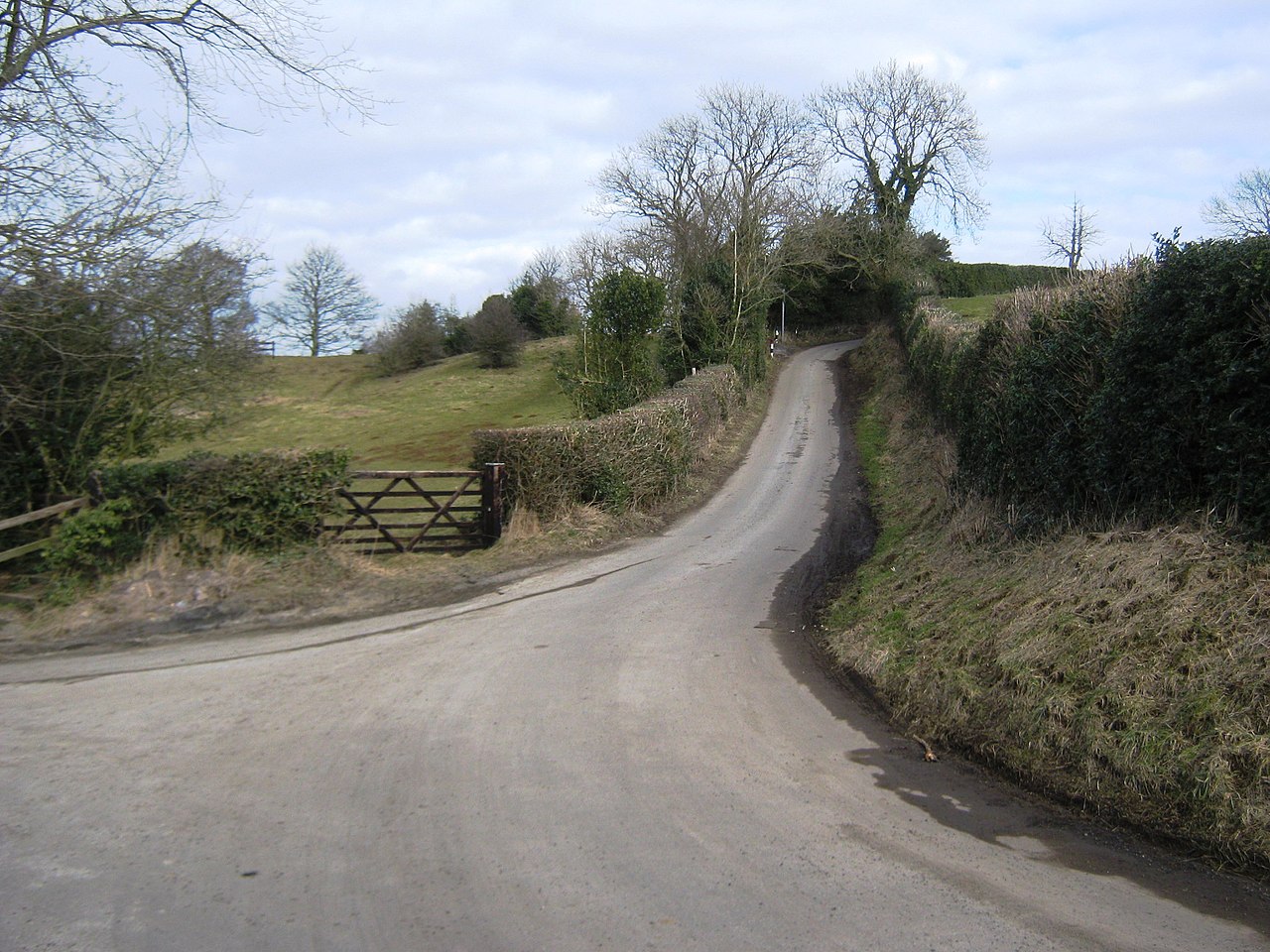
Legs Cross in England North East, United Kingdom.

Gordon Hatton — CC BY-SA 2.0 via Wikimedia Commons licence

Plan your visit
- Typical visit
- 15 min–45 min
- Nearest railway station
- Shildon · 4.3 km
- Free entry
- Dog-friendly
Getting there & planning your visit
To visit Legs Cross, the nearest railway station is Shildon, located 4.3 km away. The postcode for navigation is DL2 2UL, and entry to the memorial is free.
About
Legs Cross is a place of interest in England North East, United Kingdom — drawn from open-data sources for visitor reference. See the linked Wikipedia article for the full description.
Photo gallery
See it from the streetimagery from 2022
Imagery © Mapillary contributors, CC BY-SA 4.0
From the Wikipedia article
Legs Cross is an Anglo-Saxon cross in the parish of Bolam, County Durham, England, about 4 miles (6.4 km) north of Piercebridge on the Pilgrims' Way (the modern B6275 and the old Roman road of Dere Street). It is a Grade II* listed structure, and a scheduled monument. It was probably erected in the 9th century. The sandstone cross is now eroded to an 2.6 metres (8 ft 6 in) high obelisk-like structure, on a triangular base. Some interlaced patterning remains. Although it once had an inscription reading "LEGS X", which was chiselled off post 1966, giving rise to the name. It has been suggested that the cross was constructed from Roman masonry (nearby Piercebridge was once the site of a Roman fort) and that the inscription may have originally celebrated the 20th Legion (LEGIONIS). Other theories for the origin of name include the fact that "legge" is the Anglo-Saxon word meaning "boundary." It has been also suggested that James VI of Scotland (later James I of England) rested here, with his legs crossed, on his way south to claim the English throne.
Excerpt from Wikipedia under CC BY-SA 4.0. See the source article linked in Sources below.
- Coordinates
- 54.5972, -1.6808
- District
- County Durham
- Parish
- Bolam
- Postcode
- DL2 2UL
- Parliamentary constituency
- Bishop Auckland
- Nearest railway station
- Shildon — 4.3 km
Sources
- wikidata: Q6518016 (CC0)
- wikipedia: Legs Cross (CC BY-SA 4.0)
Other places nearby

Country View Caravan & Camping Site
Caravan parks · 0.6 km

Bildershaw
Other places · 1.8 km

Houghton-le-Side
Natural landmarks · 1.8 km

Houghton Bank
Natural landmarks · 2.0 km

Morton Tinmouth
Other places · 2.2 km
Small multivallate hillfort and tower mill on Shackleton Beacon Hill
Vineyards · 2.4 km

Brusselton Hill
Mountains & hills · 2.5 km

Killerby
Towns & cities · 2.9 km

Accommodation Bridge 10 Metres West Of Brusselton Lane
Historic bridges · 3.1 km

Redworth Hall
Historic houses · 3.2 km

Summerhouse
Towns & cities · 3.4 km

Raby Hunt Inn
Historic pubs · 3.4 km
Nearby
📷 5Caravan parks · North East England
Country View Caravan & Camping Site
Country View Caravan & Camping Site — a caravan park in england north east.
📷 4📷 4Natural landmarks · North East England
Houghton-le-Side
Houghton-le-Side in England North East, United Kingdom.
📷 4Natural landmarks · North East England
Houghton Bank
Houghton Bank in England North East, United Kingdom.
📷 4Other places · North East England
Morton Tinmouth
Morton Tinmouth in England North East, United Kingdom.
📷 5Vineyards · North East England
Small multivallate hillfort and tower mill on Shackleton Beacon Hill
Small multivallate hillfort and tower mill on Shackleton Beacon Hill — a UK vineyard in scotland lowlands, producing English or Welsh wine from cool-climate grape varieties.
Where to eat & stay near Legs Cross
Places to stay
📷 5Caravan parks · North East England
Country View Caravan & Camping Site
Country View Caravan & Camping Site — a caravan park in england north east.
 📷 7
📷 7Hotels · North East England
The Manor House Hotel & Country Club
The Manor House Hotel & Country Club — a hotel in scotland lowlands.
 📷 5
📷 5Caravan parks · North East England
Middridge Meadows
Middridge Meadows — a caravan park in scotland lowlands.
 📷 5
📷 5Campsites · North East England
Gurney Valley Traveller stop over area
Gurney Valley Traveller stop over area — a campsite in scotland lowlands.
 📷 5
📷 5Caravan parks · North East England
Craggwood Holiday Home Park Riverside Touring Park
Craggwood Holiday Home Park Riverside Touring Park — a caravan park in scotland lowlands.
 📷 5
📷 5Caravan parks · North East England
Meadow Farm Caravan Park and Campsite
Meadow Farm Caravan Park and Campsite — a caravan park in scotland lowlands.
Places to eat & drink
📷 4 📷 5
📷 5Historic pubs · North East England
Wheatsheaf Public House
Wheatsheaf Public House in Scotland Lowlands, United Kingdom.
 📷 7
📷 7Historic pubs · North East England
The Eden Arms Public House
The Eden Arms Public House in Scotland Lowlands, United Kingdom.
 📷 5
📷 5Historic pubs · North East England
Henknowle Manor Public House
Henknowle Manor Public House in Scotland Lowlands, United Kingdom.
 📷 5
📷 5Historic pubs · North East England
Green Tree Public House
Green Tree Public House in Scotland Lowlands, United Kingdom.
 📷 5
📷 5Historic pubs · North East England
Bay Horse Public House
Bay Horse Public House in Scotland Lowlands, United Kingdom.
More memorials in this region
 📷 3
📷 3Memorials & monuments · North East England
Hurworth and Neasham War Memorial
Hurworth and Neasham War Memorial — Grade II listed building-listed memorial in england-yorkshire, United Kingdom.
 📷 3
📷 3Memorials & monuments · North East England
Fryingpan Stone
Fryingpan Stone — a memorial in england-yorkshire, United Kingdom.
 📷 3
📷 3Memorials & monuments · North East England
Yoak Stone
Yoak Stone — a memorial in england-yorkshire, United Kingdom.
 📷 3
📷 3Memorials & monuments · North East England
Pump Cottage 1680
Pump Cottage 1680 — a memorial in england-yorkshire, United Kingdom.
Frequently asked questions
- Where is Legs Cross?
- Legs Cross is in North-East England, United Kingdom (postcode DL2 2UL), in the parish of Bolam.
- What is Legs Cross?
- Legs Cross in England North East, United Kingdom.
- How do I get to Legs Cross?
- The nearest railway station is Shildon, about 4.3 km away. Drivers can use postcode DL2 2UL.
- Is Legs Cross free to visit?
- Yes, Legs Cross is free to enter.
- How do I get to Legs Cross?
- The nearest railway station is Shildon, about 4.3 km away. Drivers can navigate to postcode DL2 2UL.