
Aqueducts · Yorkshire & the Humber
Leeds And Liverpool Canal Seven Arches Aqueduct, Dowley Gap
In or near Bradford.
Leeds And Liverpool Canal Seven Arches Aqueduct, Dowley Gap — aqueduct in Bradford, West Yorkshire, England, UK.

Wikimedia Commons contributors — see linked file page for photographer and licence licence

Plan your visit
- Typical visit
- 30 min–1 h
- Nearest railway station
- Saltaire · 1.6 km
- Free entry
- Dog-friendly
About
Leeds And Liverpool Canal Seven Arches Aqueduct, Dowley Gap is a place of interest in Yorkshire. Officially recognised as Grade II listed building. The site is part of the BRADFORD PENNINE GATEWAY National Nature Reserve. It sits within the Shipley parliamentary constituency. The nearest railway station is Saltaire, about 1.6 km away. Postcode area BD16.
Photo gallery
Protected designations
- Site of Special Scientific Interest: South Pennine Moors SSSI
- National Nature Reserve: BRADFORD PENNINE GATEWAY
Designations sourced from Natural England open data under OGL v3.
Place summary
The Leeds and Liverpool Canal Seven Arches Aqueduct is located in Bingley, Yorkshire. This Grade II listed building features seven distinctive arches and is part of the South Pennine Moors SSSI and the Bradford Pennine Gateway NNR.
AI-generated from the structured facts on this page (operator, designation, listing, era). Not a substitute for visiting.
- Coordinates
- 53.8403, -1.8152
- District
- Bradford
- Parish
- Bingley
- Postcode
- BD16 1TP
- Parliamentary constituency
- Shipley
- Nearest railway station
- Saltaire — 1.6 km
Sources
- wikidata: Q26426301 (CC0)
- commons: Leeds And Liverpool Canal Seven Arches Aqueduct, Dowley Gap.jpg (CC BY-SA 4.0)
Other places nearby

Milner Field
Historic houses · 0.6 km

Milner Field
Archaeological sites · 0.6 km

Bankfield Hotel
Hotels · 0.7 km

Shipley Glen
Natural landmarks · 1.1 km

Soldier's Trench
Archaeological sites · 1.1 km

Bracken Hall Countryside Centre
Museums · 1.2 km

Bracken Hall Countryside Centre and Museum
Museums · 1.2 km

Gaumont Shipley
Theatres · 1.4 km

Shipley Glen Tramway
Natural landmarks · 1.5 km

Saltaire World Heritage Site
Memorials & monuments · 1.5 km

Bingley
Museums · 1.5 km
.jpg?width=1200)
Sir Titus Salt
Wildlife reserves · 1.6 km
Nearby
📷 3Historic houses · Yorkshire & the Humber
Milner Field
Milner Field — a historic house in Yorkshire & the Humber, United Kingdom.
📷 5Archaeological sites · Yorkshire & the Humber
Milner Field
Milner Field — archaeological in england yorkshire.
📷 5Hotels · Yorkshire & the Humber
Bankfield Hotel
Bankfield Hotel — a hotel in england yorkshire. 3-star. Brand: Mercure Bradford.
📷 3Natural landmarks · Yorkshire & the Humber
Shipley Glen
Shipley Glen — a place in Yorkshire & the Humber, United Kingdom.
📷 3Archaeological sites · Yorkshire & the Humber
Soldier's Trench
Soldier's Trench — an archaeological site in Yorkshire & the Humber, United Kingdom.
📷 3Museums · Yorkshire & the Humber
Bracken Hall Countryside Centre
Bracken Hall Countryside Centre — a museum in Yorkshire & the Humber, United Kingdom.
Where to eat & stay near Leeds And Liverpool Canal Seven Arches Aqueduct, Dowley Gap
Places to stay
📷 5Hotels · Yorkshire & the Humber
Bankfield Hotel
Bankfield Hotel — a hotel in england yorkshire. 3-star. Brand: Mercure Bradford.
 📷 5
📷 5Caravan parks · Yorkshire & the Humber
Crook Farm Caravan Park
Crook Farm Caravan Park — a caravan park in england yorkshire.
 📷 5
📷 5Caravan parks · Yorkshire & the Humber
Dobrudden Farm Caravan Park
Dobrudden Farm Caravan Park — a caravan park in england yorkshire.
 📷 5
📷 5 📷 5
📷 5Caravan parks · Yorkshire & the Humber
Harden Park Homes
Harden Park Homes — a caravan park in england yorkshire.
 📷 5
📷 5Caravan parks · Yorkshire & the Humber
Moor Valley Caravan Park
Moor Valley Caravan Park — a caravan park in england yorkshire.
Places to eat & drink
 📷 5
📷 5Historic pubs · Yorkshire & the Humber
Old White Horse Inn
Old White Horse Inn in England Yorkshire, United Kingdom.
 📷 7
📷 7Historic pubs · Yorkshire & the Humber
The Spotted House Public House
The Spotted House Public House in England Yorkshire, United Kingdom.
 📷 5
📷 5Historic pubs · Yorkshire & the Humber
Airedale Heifer Public House And Attached Barn
Airedale Heifer Public House And Attached Barn in England Yorkshire, United Kingdom.
 📷 5
📷 5Historic pubs · Yorkshire & the Humber
The Duke Of York Public House
The Duke Of York Public House in England Yorkshire, United Kingdom.
 📷 5
📷 5Historic pubs · Yorkshire & the Humber
The Commercial Inn
The Commercial Inn in England Yorkshire, United Kingdom.
 📷 5
📷 5Historic pubs · Yorkshire & the Humber
The Ring O' Bells Public House
The Ring O' Bells Public House in England Yorkshire, United Kingdom.
More places in this region
 📷 3
📷 3Aqueducts · Yorkshire & the Humber
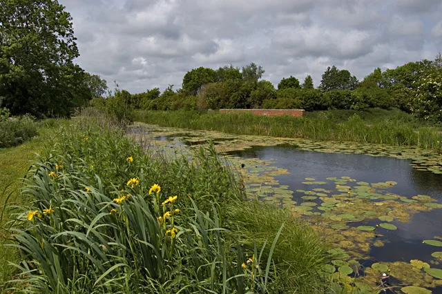
Aqueduct At Sandholme Farm
Aqueduct At Sandholme Farm — aqueduct in Leven, East Riding of Yorkshire, England, UK.
 📷 3
📷 3Aqueducts · Yorkshire & the Humber
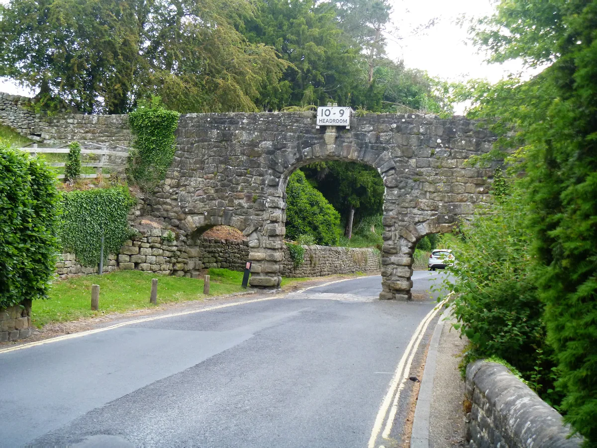
Aqueduct North Of The Abbey Mill
Aqueduct North Of The Abbey Mill — aqueduct in Bolton Abbey, Craven, North Yorkshire, England, UK.
 📷 3
📷 3Aqueducts · Yorkshire & the Humber
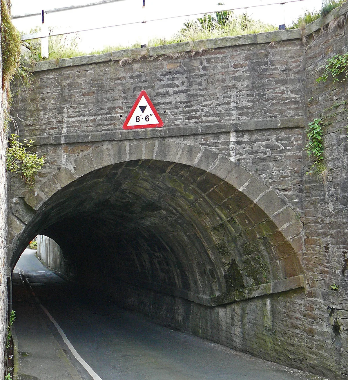
Aqueduct On Leeds-Liverpool Canal
Aqueduct On Leeds-Liverpool Canal — aqueduct in Farnhill, Craven, North Yorkshire, England, UK.
 📷 3
📷 3Aqueducts · Yorkshire & the Humber
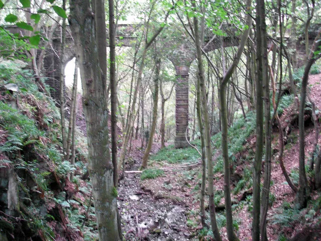
Barden Aqueduct
Barden Aqueduct — aqueduct in Silsden, Bradford, West Yorkshire, England, UK.
Frequently asked questions
- Where is Leeds And Liverpool Canal Seven Arches Aqueduct, Dowley Gap?
- Leeds And Liverpool Canal Seven Arches Aqueduct, Dowley Gap is in Yorkshire, United Kingdom (postcode BD16 1TP), in the parish of Bingley.
- What is Leeds And Liverpool Canal Seven Arches Aqueduct, Dowley Gap?
- Leeds And Liverpool Canal Seven Arches Aqueduct, Dowley Gap — aqueduct in Bradford, West Yorkshire, England, UK.
- How do I get to Leeds And Liverpool Canal Seven Arches Aqueduct, Dowley Gap?
- The nearest railway station is Saltaire, about 1.6 km away. The nearest town is Bradford. Drivers can use postcode BD16 1TP.
- Is Leeds And Liverpool Canal Seven Arches Aqueduct, Dowley Gap a listed building?
- Leeds And Liverpool Canal Seven Arches Aqueduct, Dowley Gap is officially recognised as Grade II listed building listed.
- Is Leeds And Liverpool Canal Seven Arches Aqueduct, Dowley Gap a protected site?
- Yes — Leeds And Liverpool Canal Seven Arches Aqueduct, Dowley Gap is part of the South Pennine Moors SSSI Site of Special Scientific Interest and the BRADFORD PENNINE GATEWAY National Nature Reserve.
- Is Leeds And Liverpool Canal Seven Arches Aqueduct, Dowley Gap free to visit?
- Yes, Leeds And Liverpool Canal Seven Arches Aqueduct, Dowley Gap is free to enter.
- How do I get to Leeds And Liverpool Canal Seven Arches Aqueduct, Dowley Gap?
- The nearest railway station is Saltaire, about 1.6 km away. Drivers can navigate to postcode BD16 1TP.