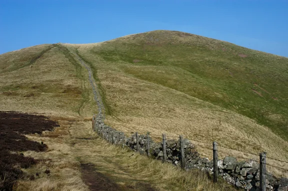
Mountains & hills · Central Scotland
Lee Burn Head
Lee Burn Head — mountain in scotland central. Elevation: 452 m.

David Purchase — CC BY-SA 2.0 via Wikimedia Commons licence
Plan your visit
- Typical visit
- 3 h–8 h
- Best time of year
- Late spring – early autumn (May–Oct)
About
Lee Burn Head is a mountain located in scotland central. Elevation: 452 m. A named British peak recorded in OpenStreetMap. Peaks are typically named on Ordnance Survey 1:50k mapping.
Photo gallery
Place summary
Lee Burn Head is a mountain located in central Scotland. It features rugged terrain and offers panoramic views of the surrounding landscape. As a notable peak in the region, it attracts hikers and outdoor enthusiasts seeking a challenging ascent and scenic vistas. The area is characterised by its natural beauty and opportunities for exploration.
AI-generated from the structured facts on this page (operator, designation, listing, era). Not a substitute for visiting.
- Coordinates
- 55.6432, -3.0850
Sources
- osm: n2996847736 (ODbL)
Other places nearby
Loading nearby places…
Nearby
 📷 5
📷 5Vineyards · Central Scotland
enclosure 620m SE of Nether Horsburgh
enclosure 620m SE of Nether Horsburgh — a UK vineyard in scotland central, producing English or Welsh wine from cool-climate grape varieties.
 📷 5
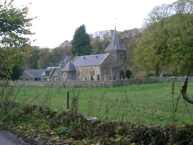
📷 5Literary houses · Central Scotland
Lee Tower
Lee Tower — a literary house museum in scotland central.
 📷 5
📷 5Mountains & hills · Central Scotland
Lee Pen
Lee Pen — a hill or mountain in scotland central.
📷 5Mountains & hills · Central Scotland
Lee Pen
Lee Pen — mountain in scotland central. Elevation: 502 m.
 📷 5
📷 5Literary houses · Central Scotland
Nether Horsburgh Castle
Nether Horsburgh Castle — a literary house museum in scotland central.
 📷 5
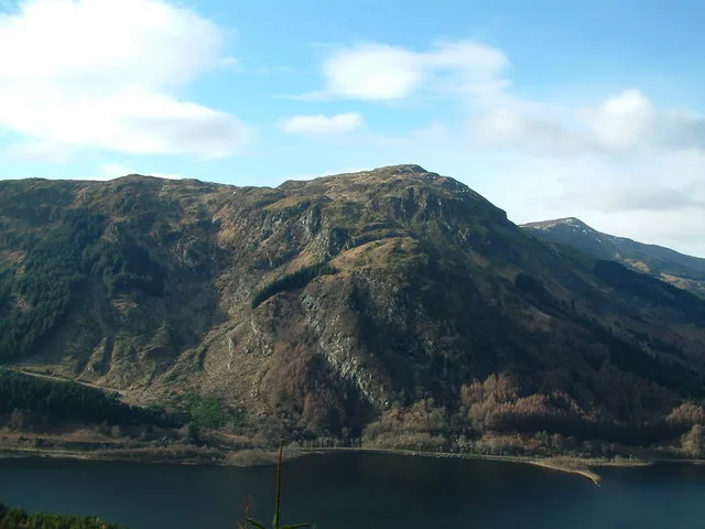
📷 5Mountains & hills · Central Scotland
Black Knowe
Black Knowe — mountain in scotland central. Elevation: 522 m.
Where to eat & stay near Lee Burn Head
Places to stay
 📷 5
📷 5Hotels · Central Scotland
Cardrona Hotel
Cardrona Hotel — a hotel in scotland central.
 📷 5
📷 5Campsites · Central Scotland
Glentress Forest Lodges
Glentress Forest Lodges — a campsite in scotland central.
 📷 5
📷 5Campsites · Central Scotland
Tweedside Caravan Park
Tweedside Caravan Park — a campsite in scotland central.
 📷 5
📷 5Hotels · Central Scotland
Peebles Hydro Hotel
Peebles Hydro Hotel — a hotel in scotland central. Brand: Crieff Hydro Family of Hotels.
 📷 5
📷 5B&Bs · Central Scotland
Whitestone House
Whitestone House — a bed-and-breakfast in scotland central.
 📷 5
📷 5Hotels · Central Scotland
Park Hotel
Park Hotel — a hotel in scotland central.
Places to eat & drink
 📷 5
📷 5Historic pubs · Central Scotland
The Keg Lounge Bar, 11 High Street, Peebles
The Keg Lounge Bar, 11 High Street, Peebles in Scotland Central, United Kingdom.
 📷 5
📷 5Historic pubs · Central Scotland
Red Lion House, 36 Biggiesknowe, Peebles
Red Lion House, 36 Biggiesknowe, Peebles in Scotland Central, United Kingdom.
 📷 5
📷 5Historic pubs · Central Scotland
The Bridge Inn, West Port, Peebles
The Bridge Inn, West Port, Peebles in Scotland Central, United Kingdom.
 📷 5
📷 5Restaurants · Central Scotland
Horse Shoe Inn
Horse Shoe Inn — a restaurant in scotland central.
 📷 5
📷 5Historic pubs · Central Scotland
Clovenfords Hotel, Clovenfords
Clovenfords Hotel, Clovenfords in Scotland Central, United Kingdom.
 📷 5
📷 5Historic pubs · Central Scotland
Town Arms Inn, 1 Market Place, Selkirk
Town Arms Inn, 1 Market Place, Selkirk in Scotland Central, United Kingdom.
More mountains in this region
 📷 3
📷 3Mountains & hills · Central Scotland
Abbey Hill
Abbey Hill — Named summit at 278 m.
 📷 3
📷 3Mountains & hills · Central Scotland
Aberlady Bay
Aberlady Bay — bay on the north coast of East Lothian, Scotland, UK.
 📷 3
📷 3Mountains & hills · Central Scotland
Allermuir Hill
Allermuir Hill — Named summit at 493 m.
 📷 3
📷 3Mountains & hills · Central Scotland
Ardnandave
Ardnandave — Named summit at 715 m.
Frequently asked questions
- Where is Lee Burn Head?
- Lee Burn Head is in central Scotland, United Kingdom.
- What is Lee Burn Head?
- Lee Burn Head — mountain in scotland central. Elevation: 452 m.
- How do I get to Lee Burn Head?
- Its coordinates are 55.6432°, -3.0850°.