
Castles · South East England
Leafield Castle
In or near Finstock.
Leafield Castle (also known as Leafield Barrow) is a motte castle in the village of Leafield in the north west region of Oxfordshire. All that is left of the castle are the earthworks and the earth mo

john shortland — CC BY-SA 2.0 via Wikimedia Commons licence

Plan your visit
- Typical visit
- 1.5 h–3 h
- Nearest railway station
- Ascott-under-Wychwood · 3.8 km
- Family-friendly
- Limited wheelchair access
Getting there & planning your visit
To visit Leafield Castle, the nearest railway station is Ascott-under-Wychwood, located 3.8 km away. The postcode for sat-nav is OX29 9NR. Accessibility is limited for wheelchair users.
About
Leafield Castle (also known as Leafield Barrow) is a motte castle in the village of Leafield in the north west region of Oxfordshire. All that is left of the castle are the earthworks and the earth mound that formed the centre of the castle. It has a commanding view and is 220 metres (720 ft) north west of the Church of St Michael and All Angels. The castle is similar in size and shape to the nearby Ascot d'Oilly Castle. The motte measures 38 metres (125 ft) across and stands up to 4 metres (13 ft) high. It has a flat, oval summit which measures 19.9 metres (65 ft) from north west to south east and 12 metres (39 ft) from south west to north east. A square feature measuring 10.9 metres (36 ft) across with an internal depression 7.5 metres (25 ft) square and 0.3 metres (1 ft 0 in) deep is believed to indicate the remains of the stone keep building. On the opening of a barrow in 1828, some ancient coins were dug up. The village of Leafield itself is very old and was established by at least the 11th century, but there are few medieval remains and these are limited to features in houses that were later extensively rebuilt. This would mean that there could have been a castle guarding over the village from the 11th century onwards. This castle would have influence over the royal forest of Wychwood, a key centre for hunting as well as royal visits.
Photo gallery
Protected designations
- Area of Outstanding Natural Beauty: Cotswolds
Designations sourced from Natural England open data under OGL v3.
From the Wikipedia article
Leafield Castle (also known as Leafield Barrow) is a motte castle in the village of Leafield in the north west region of Oxfordshire. All that is left of the castle are the earthworks and the earth mound that formed the centre of the castle. It has a commanding view and is 220 metres (720 ft) north west of the Church of St Michael and All Angels. The castle is similar in size and shape to the nearby Ascot d'Oilly Castle. The motte measures 38 metres (125 ft) across and stands up to 4 metres (13 ft) high. It has a flat, oval summit which measures 19.9 metres (65 ft) from north west to south east and 12 metres (39 ft) from south west to north east. A square feature measuring 10.9 metres (36 ft) across with an internal depression 7.5 metres (25 ft) square and 0.3 metres (1 ft 0 in) deep is believed to indicate the remains of the stone keep building. On the opening of a barrow in 1828, some ancient coins were dug up. The village of Leafield itself is very old and was established by at least the 11th century, but there are few medieval remains and these are limited to features in houses that were later extensively rebuilt. This would mean that there could have been a castle guarding over the village from the 11th century onwards. This castle would have influence over the royal forest of Wychwood, a key centre for hunting as well as royal visits.
Excerpt from Wikipedia under CC BY-SA 4.0. See the source article linked in Sources below.
- Coordinates
- 51.8364, -1.5426
- County
- Oxfordshire
- District
- West Oxfordshire
- Parish
- Leafield
- Postcode
- OX29 9NR
- Parliamentary constituency
- Witney
- Nearest railway station
- Ascott-under-Wychwood — 3.8 km
Sources
- wikipedia: Leafield Castle (CC BY-SA 4.0)
Other places nearby

Leafield Barrow: a motte castle 220m north west of St Michael and All Angels Church
Literary houses · 0.0 km

Leafield
Villages · 0.2 km

Leafield War Memorial Lychgate at St Michael and All Angels Church
Memorials & monuments · 0.2 km

Fairspear Natural Burial Ground
Cemeteries · 1.5 km

Ascott Earl
Castles · 3.5 km

Ascott Earl Castle
Castles · 3.5 km
Ascott Earl motte and bailey castle
Castles · 3.6 km
Ascott Earl Castle
Literary houses · 3.6 km

Manor House
Historic houses · 3.9 km

Ascot d'Oilly
Castles · 3.9 km
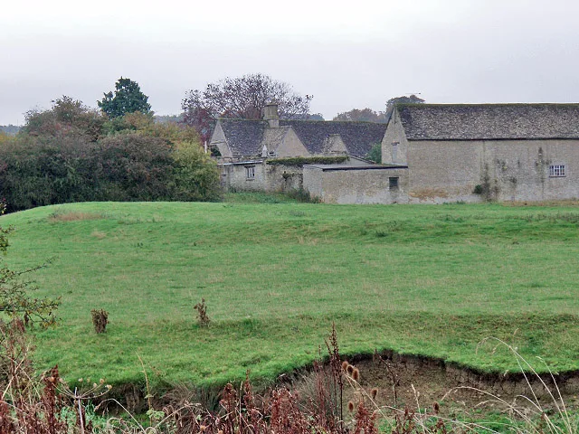
Ascot d'Oilly Castle
Hill forts · 3.9 km

Fragment of Ascott d'Oyley Castle
Castles · 3.9 km
Nearby
📷 5Literary houses · South East England
Leafield Barrow: a motte castle 220m north west of St Michael and All Angels Church
Leafield Barrow: a motte castle 220m north west of St Michael and All Angels Church — a literary house museum in england west midlands.
📷 5📷 3Memorials & monuments · South East England
Leafield War Memorial Lychgate at St Michael and All Angels Church
Leafield War Memorial Lychgate at St Michael and All Angels Church — Grade II listed building-listed memorial in england-west-midlands, United Kingdom.
📷 3Cemeteries · South East England
Fairspear Natural Burial Ground
Fairspear Natural Burial Ground is a cemetery in the United Kingdom.
📷 5📷 5Castles · South East England
Ascott Earl Castle
Ascott Earl Castle was a castle in the village of Ascott Earl, Oxfordshire, England.
Where to eat & stay near Leafield Castle
Places to stay
 📷 7
📷 7Hotels · South East England
The Lamb Inn
The Lamb Inn — a hotel in england west midlands.
 📷 7
📷 7Hotels · South East England
The Shaven Crown
The Shaven Crown — a hotel in england west midlands.
 📷 5
📷 5Caravan parks · South East England
Grove Farm Caravan Club
Grove Farm Caravan Club — a caravan park in england west midlands.
 📷 7
📷 7Hotels · South East England
The Old Court Hotel
The Old Court Hotel — a hotel in england west midlands.
 📷 7
📷 7B&Bs · South East England
corncroft guest house
corncroft guest house — a bed-and-breakfast in england west midlands.
 📷 7
📷 7Hotels · South East England
The Witney Hotel
The Witney Hotel — a hotel in england west midlands.
Places to eat & drink
 📷 5
📷 5Historic pubs · South East England
The Lamb And Flag Public House
The Lamb And Flag Public House in England South East, United Kingdom.
 📷 5
📷 5Historic pubs · South East England
Ye Olde Three Horseshoes
Ye Olde Three Horseshoes in England South East, United Kingdom.
 📷 7
📷 7Historic pubs · South East England
The House of Windsor Public House
The House of Windsor Public House in England South East, United Kingdom.
 📷 5
📷 5Historic pubs · South East England
The Three Pigeons Public House
The Three Pigeons Public House in England South East, United Kingdom.
 📷 7
📷 7Historic pubs · South East England
The Merry Horn Public House
The Merry Horn Public House in England South East, United Kingdom.
📷 7Historic pubs · South East England
New Inn Public House
New Inn Public House in England South East, United Kingdom.
More castles in this region
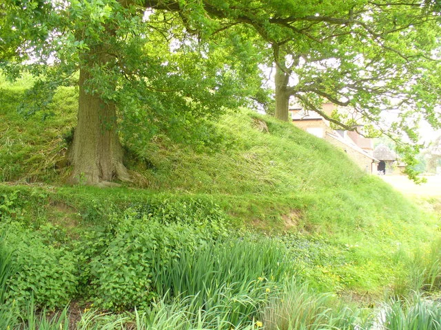 📷 5
📷 5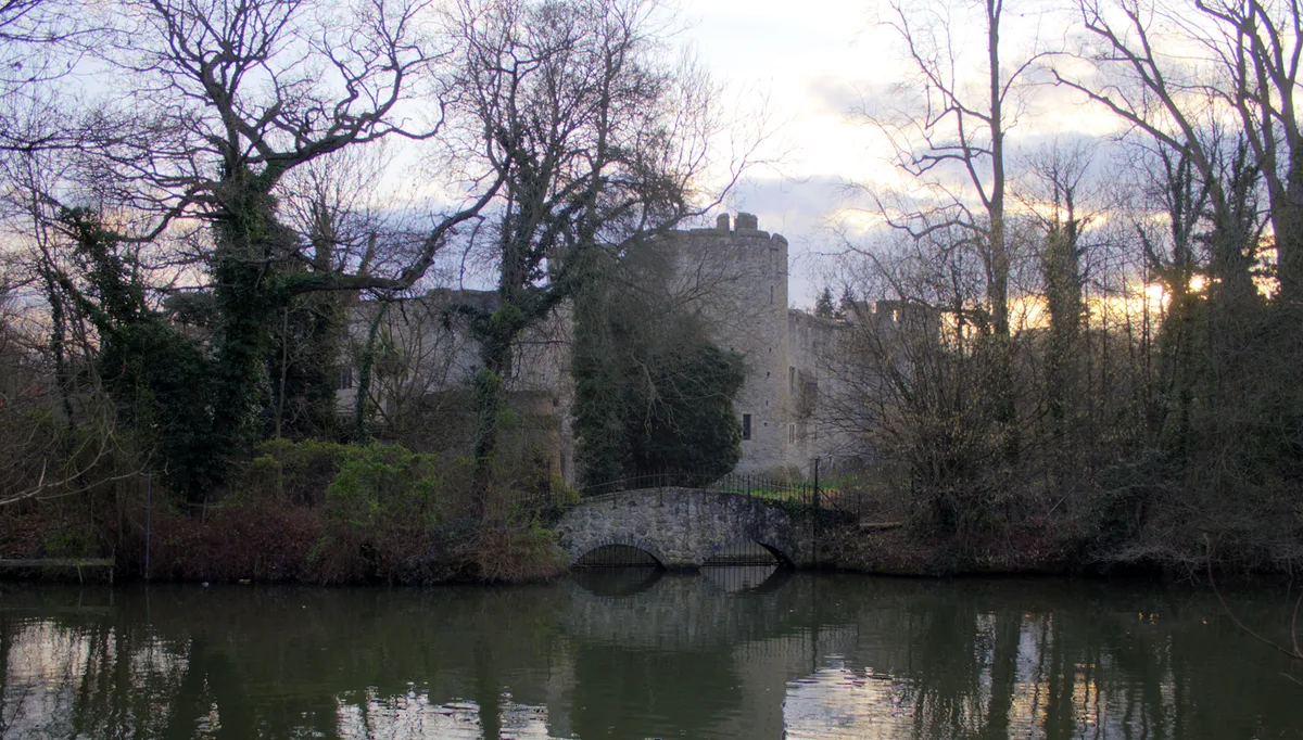 📷 5
📷 5Castles · South East England
Allington Castle
Allington Castle — stone-built moated castle in Allington, England.
 📷 5
📷 5Castles · South East England
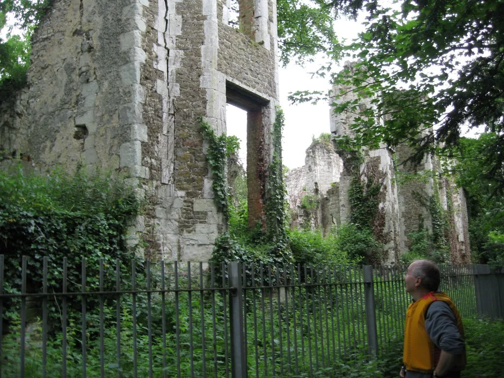
Betchworth Castle
Betchworth Castle — castle in Brockham, Mole Valley, Surrey, England, UK.
 📷 5
📷 5Castles · South East England
Bletchingley Castle
Bletchingley Castle — castle in Surrey, England, UK.
Frequently asked questions
- Where is Leafield Castle?
- Leafield Castle is in Oxfordshire, South-East England, United Kingdom (postcode OX29 9NR), in the parish of Leafield.
- What is Leafield Castle?
- Leafield Castle (also known as Leafield Barrow) is a motte castle in the village of Leafield in the north west region of Oxfordshire. All that is left of the castle are the earthworks and the earth mo
- How do I get to Leafield Castle?
- The nearest railway station is Ascott-under-Wychwood, about 3.8 km away. The nearest town is Finstock. Drivers can use postcode OX29 9NR.
- Who owns Leafield Castle?
- Leafield Castle is owned by | open_to_public =.
- Is Leafield Castle a protected site?
- Yes — Leafield Castle is part of the Cotswolds National Landscape (AONB).
- Does Leafield Castle charge admission?
- Leafield Castle typically charges admission. Check the official site for current ticket prices and opening hours.
- How do I get to Leafield Castle?
- The nearest railway station is Ascott-under-Wychwood, about 3.8 km away. Drivers can navigate to postcode OX29 9NR.