
Public art & sculpture · East Midlands
Leaf
In or near Burton Joyce.
Leaf — a public art in england-east-midlands, United Kingdom.

Alan Murray-Rust — CC BY-SA 2.0 via Wikimedia Commons licence

Plan your visit
- Typical visit
- 1 h–2 h
- Nearest railway station
- Netherfield · 1.8 km
- Free entry
- Dog-friendly
Getting there & planning your visit
To visit Leaf, you can reach the nearest railway station, Netherfield, which is 1.8 km away. The postcode for Leaf is NG2 4DY, and entry is free.
About
Leaf is a public art located in england-east-midlands, United Kingdom. Sourced from OpenStreetMap (ODbL licence); see local listings for visitor information, opening hours and admission details.
Photo gallery
From the Wikipedia article
A leaf (pl.: leaves) is a principal appendage of the stem of a vascular plant, usually borne laterally above ground and specialized for photosynthesis. Leaves are collectively called foliage, as in "autumn foliage", while the leaves, stem, flower, and fruit collectively form the shoot system. In most leaves, the primary photosynthetic tissue is the palisade mesophyll and is located on the upper side of the blade or lamina of the leaf, but in some species, including the mature foliage of Eucalyptus, palisade mesophyll is present on both sides and the leaves are said to be isobilateral. The leaf is an integral part of the stem system, and most leaves are flattened and have distinct upper (adaxial) and lower (abaxial) surfaces that differ in color, hairiness, the number of stomata (pores that intake and output gases), the amount and structure of epicuticular wax, and other features. Leaves are mostly green in color due to the presence of a compound called chlorophyll, which is essential for photosynthesis as it absorbs light energy from the Sun. A leaf with lighter-colored or white patches or edges is called a variegated leaf. Leaves vary in shape, size, texture and color, depending on the species. The broad, flat leaves with complex venation of flowering plants are known as megaphylls and the species that bear them (the majority) as broad-leaved or megaphyllous plants, which also include acrogymnosperms and ferns. In the lycopods, with different evolutionary origins, the leaves are simple (with only a single vein) and are known as microphylls. Some leaves, such as bulb scales, are not above ground. In many aquatic species, the leaves are submerged in water. Succulent plants often have thick juicy leaves, but some leaves are without major photosynthetic function and may be dead at maturity, as in some cataphylls and spines. Furthermore, several kinds of leaf-like structures found in vascular plants are not totally homologous with them. Examples include flattened plant stems called phylloclades and cladodes, and flattened leaf stems called phyllodes that differ from leaves both in their structure and origin. Some structures of non-vascular plants look and function much like leaves. Examples include the phyllids of mosses and liverworts.
Excerpt from Wikipedia under CC BY-SA 4.0. See the source article linked in Sources below.
Background
Description
(Rheum rhabarbarum) are edible.]] Leaves that have a petiole (leaf stalk) are said to be petiolate. Sessile (epetiolate) leaves have no petiole, and the blade attaches directly to the stem. Subpetiolate leaves are nearly petiolate or have an extremely short petiole and may appear to be sessile. In clasping or decurrent leaves, the blade partially surrounds the stem. When the leaf base completely surrounds the stem, the leaves are said to be perfoliate, such as in Eupatorium perfoliatum. In peltate leaves, the petiole attaches to the blade inside the blade margin. In some Acacia species, such as the koa tree (Acacia koa), the petioles are expanded or broadened and function like leaf blades;…
Sourced from Wikipedia under CC BY-SA 4.0.
- Coordinates
- 52.9514, -1.1000
- District
- Nottingham
- Parish
- Nottingham, unparished area
- Postcode
- NG2 4DY
- Parliamentary constituency
- Nottingham East
- Nearest railway station
- Netherfield — 1.8 km
Sources
- osm: node/6283333537 (ODbL)
- wikipedia: Leaf (CC BY-SA 4.0)
Other places nearby

Mallard
Public art & sculpture · 0.3 km

Nottingham Greyhound Stadium
Stadiums · 0.6 km

Colwick Woods Local Nature Reserve
Forests & woodlands · 0.6 km
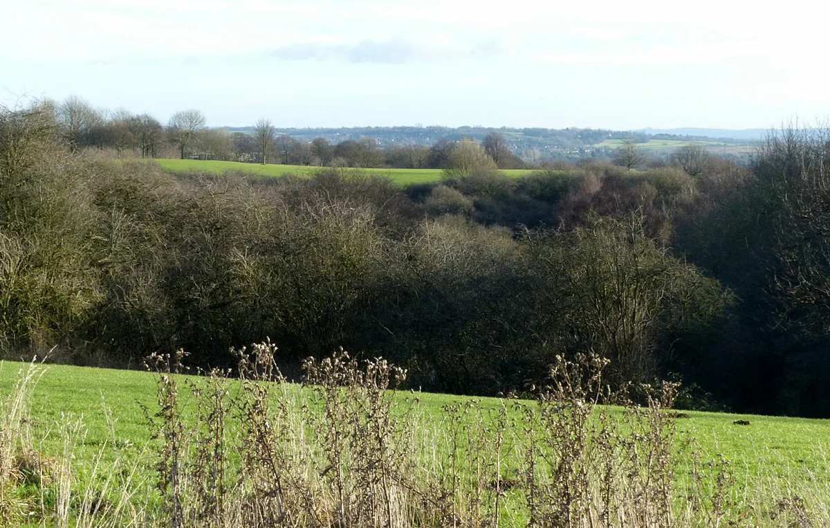
Colwick Woods
Wildlife reserves · 0.7 km

Colwick Hall
Hotels · 0.8 km

Colwick Fish Pass
Public art & sculpture · 0.8 km

Colwick
Villages · 1.1 km

East View
Viewpoints · 1.1 km

Wayne Smith
Public art & sculpture · 1.2 km
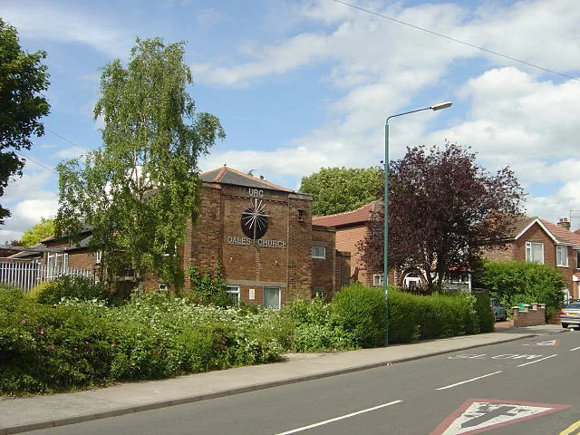
Dales United Reformed Church
Historic churches · 1.2 km

Mountain Bike Route
Mountain bike trails · 1.2 km

Baitul Hafeez Mosque
Historic churches · 1.3 km
Nearby
📷 5Public art & sculpture · East Midlands
Mallard
Mallard — a public art in england-east-midlands, United Kingdom.
📷 3Stadiums · East Midlands
Nottingham Greyhound Stadium
Nottingham Greyhound Stadium — Greyhound racing venue in England.
📷 3Forests & woodlands · East Midlands
Colwick Woods Local Nature Reserve
Colwick Woods Local Nature Reserve is a forest or woodland in the United Kingdom.
📷 3Wildlife reserves · East Midlands
Colwick Woods
Colwick Woods — park and nature reserve in the English city of Nottingham.
📷 5Hotels · East Midlands
Colwick Hall
Colwick Hall — a hotel in england east midlands.
📷 3Public art & sculpture · East Midlands
Colwick Fish Pass
Colwick Fish Pass — a public art in england-east-midlands, United Kingdom.
Where to eat & stay near Leaf
Places to stay
📷 5Hotels · East Midlands
Colwick Hall
Colwick Hall — a hotel in england east midlands.
 📷 5
📷 5Campsites · East Midlands
Bell Tent Village Parks
Bell Tent Village Parks — a campsite in england east midlands.
 📷 5
📷 5Campsites · East Midlands
Holme Pierrepont Country Park
Holme Pierrepont Country Park — a campsite in england east midlands.
 📷 5
📷 5Hotels · East Midlands
Lace Market Hotel
Lace Market Hotel — a hotel in england east midlands.
 📷 5
📷 5Hostels · East Midlands
Midtown Hostel
Midtown Hostel — a hostel in england east midlands.
 📷 5
📷 5Hotels · East Midlands
Bentinck Hotel
Bentinck Hotel — a hotel in england east midlands.
Places to eat & drink
 📷 7
📷 7Historic pubs · East Midlands
Bath Inn Public House
Bath Inn Public House in England East Midlands, United Kingdom.
 📷 7
📷 7Historic pubs · East Midlands
Trent Bridge Inn
Trent Bridge Inn in England East Midlands, United Kingdom.
 📷 5
📷 5Restaurants · East Midlands
Pizza Pilgrims
Pizza Pilgrims — a restaurant in england east midlands. Cuisine: pizza. Brand: Pizza Pilgrims.
 📷 7
📷 7Historic pubs · East Midlands
Test Match Hotel
Test Match Hotel in England East Midlands, United Kingdom.
 📷 3
📷 3Historic pubs · East Midlands
Pitcher & Piano
Pitcher & Piano — Historic pub — listed building or notable heritage status.
 📷 5
📷 5Historic pubs · East Midlands
22 Fletcher Gate
22 Fletcher Gate in England East Midlands, United Kingdom.
More places in this region
 📷 5
📷 5Public art & sculpture · East Midlands
West Walton Village Sign
West Walton Village Sign — a public art in england-london, United Kingdom.
 📷 5
📷 5Public art & sculpture · East Midlands
Tilney St Lawrence Village Sign
Tilney St Lawrence Village Sign — a public art in england-london, United Kingdom.
 📷 5
📷 5Public art & sculpture · East Midlands
Emneth Village Sign
Emneth Village Sign — a public art in england-london, United Kingdom.
 📷 5
📷 5Public art & sculpture · East Midlands
Marshland St James Village Sign
Marshland St James Village Sign — a public art in england-london, United Kingdom.
Frequently asked questions
- Where is Leaf?
- Leaf is in the East Midlands, United Kingdom (postcode NG2 4DY), in the parish of Nottingham, unparished area.
- What is Leaf?
- Leaf — a public art in england-east-midlands, United Kingdom.
- How do I get to Leaf?
- The nearest railway station is Netherfield, about 1.8 km away. Drivers can use postcode NG2 4DY.
- Is Leaf free to visit?
- Yes, Leaf is free to enter.
- How do I get to Leaf?
- The nearest railway station is Netherfield, about 1.8 km away. Drivers can navigate to postcode NG2 4DY.