Archaeological sites · East Midlands
Langford medieval village, including moat and open field system, 450m north west of Elmtree Farm
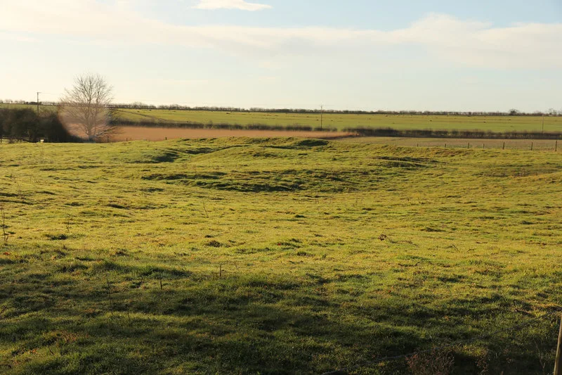
Langford medieval village, including moat and open field system, 450m north west of Elmtree Farm — archaeological site in Langford, Newark and Sherwood, England, UK.
.jpg?width=1200)
Wikimedia Commons contributors — see linked file page for photographer and licence licence
.jpg)
Plan your visit
- Typical visit
- 45 min–1.5 h
- Nearest railway station
- Collingham · 3.2 km
- Free entry
- Dog-friendly
About
Langford medieval village, including moat and open field system, 450m north west of Elmtree Farm is an archaeological site in the United Kingdom. Heritage designation: scheduled monument. Wikidata describes it as: "archaeological site in Langford, Newark and Sherwood, England, UK". Coordinates: 53.1193°, -0.7736°.
Photo gallery
Place summary
Langford medieval village, located 450m north-west of Elmtree Farm in the East Midlands, is an archaeological site featuring a moat and an open field system. It is designated as a scheduled monument, highlighting its historical significance.
AI-generated from the structured facts on this page (operator, designation, listing, era). Not a substitute for visiting.
- Coordinates
- 53.1193, -0.7736
- County
- Nottinghamshire
- District
- Newark and Sherwood
- Parish
- Langford
- Postcode
- NG23 7RW
- Parliamentary constituency
- Newark
- Nearest railway station
- Collingham — 3.2 km
Sources
- wikidata: Q17675251 (CC0)
- commons: Grass field and Langford Old Hall (geograph 6980531).jpg (CC BY-SA 4.0)
Other places nearby
Loading nearby places…
Nearby
 📷 5
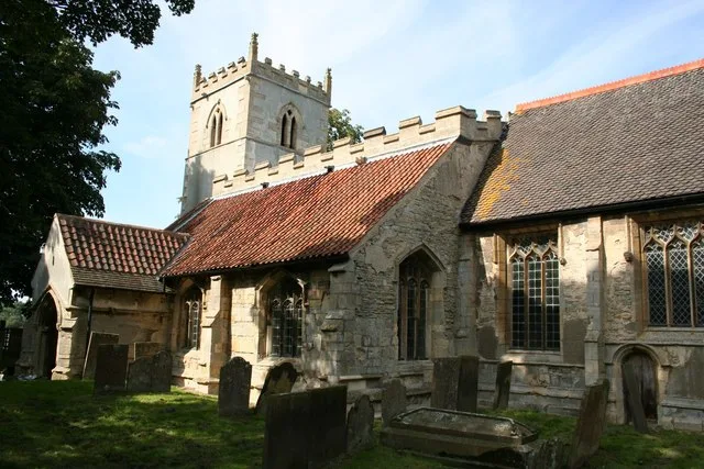
📷 5Historic churches · East Midlands
St Bartholomew's Church, Langford
St Bartholomew's Church, Langford — church in Newark and Sherwood, Nottinghamshire, England, UK.
 📷 3
📷 3Archaeological sites · East Midlands
Holme marching camp
Holme marching camp — a archaeological in england-east-midlands, United Kingdom.
 📷 3
📷 3Natural landmarks · East Midlands
Brough Rest Area
Brough Rest Area — a other in england-east-midlands, United Kingdom.
 📷 3
📷 3Towns & cities · East Midlands
Holme
Holme — village and civil parish in Nottinghamshire, UK.
 📷 3
📷 3Towns & cities · East Midlands
Winthorpe
Winthorpe — village and civil parish in Nottinghamshire, UK.
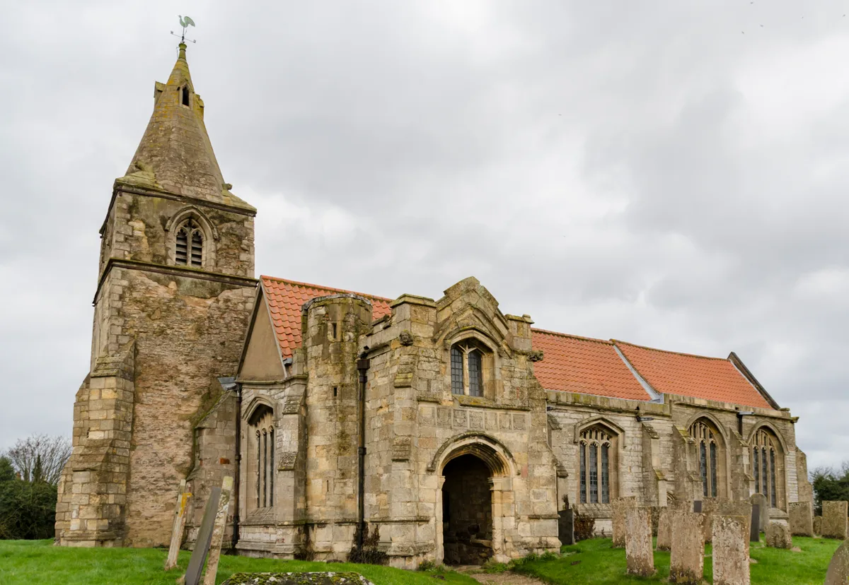 📷 5
📷 5Historic churches · East Midlands
St Giles' Church, Holme
St Giles' Church, Holme — church in Newark and Sherwood, Nottinghamshire, England, UK.
More archaeological sites in this region
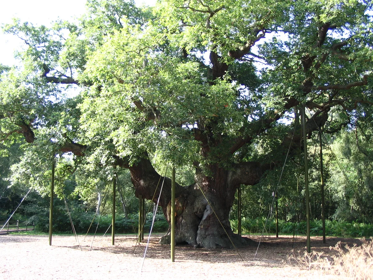 Flagship📷 5
Archaeological sites · East Midlands
Sherwood Forest
Sherwood Forest is a archaeological site in the United Kingdom.
 Flagship📷 5
Archaeological sites · East Midlands
The National Forest
The National Forest — environmental project in central England.
 📷 3
📷 3Archaeological sites · East Midlands
Appleton medieval and early post-medieval settlement
Appleton medieval and early post-medieval settlement — archaeological site in Flitcham with Appleton, King's Lynn and West Norfolk, England, UK.
 📷 3
📷 3Archaeological sites · East Midlands
Brauncewell medieval village
Brauncewell medieval village — archaeological site in Cranwell, Brauncewell and Byard's Leap, North Kesteven, England, UK.
Frequently asked questions
- Where is Langford medieval village, including moat and open field system, 450m north west of Elmtree Farm?
- Langford medieval village, including moat and open field system, 450m north west of Elmtree Farm is in Nottinghamshire, the East Midlands, United Kingdom (postcode NG23 7RW), in the parish of Langford.
- Is Langford medieval village, including moat and open field system, 450m north west of Elmtree Farm a listed building?
- Langford medieval village, including moat and open field system, 450m north west of Elmtree Farm is officially recognised as scheduled monument listed.
- How do I get to Langford medieval village, including moat and open field system, 450m north west of Elmtree Farm?
- The nearest railway station is Collingham, about 3.2 km away. Drivers can navigate to postcode NG23 7RW.