
Public art & sculpture · London
Lamp Post Banner - Community Artwork
In or near Shortlands.
Lamp Post Banner - Community Artwork — Public artwork (mural).

Robin Stott — CC BY-SA 2.0 via Wikimedia Commons licence

Plan your visit
- Typical visit
- 1 h–2 h
- Nearest railway station
- Gipsy Hill · 0.4 km
- Free entry
About
Lamp Post Banner - Community Artwork is a place of interest in the United Kingdom. Wikidata describes it as: "Public artwork (mural).". Coordinates: 51.4279°, -0.0862°.
Photo gallery
See it from the streetimagery from 2019
Imagery © Mapillary contributors, CC BY-SA 4.0
Official information
The Lamp Post Banner is a community artwork initiative in Gipsy Hill that enhances the local environment. It features various artistic banners displayed on lamp posts, contributing to the area's cultural vibrancy and community spirit.
Place summary
The Lamp Post Banner is a community artwork located in the Lambeth area of London, postcode SE19. This installation reflects local creativity and engagement, contributing to the cultural landscape of the city.
AI-generated from the structured facts on this page (operator, designation, listing, era). Not a substitute for visiting.
- Coordinates
- 51.4279, -0.0862
- District
- Lambeth
- Parish
- Lambeth, unparished area
- Postcode
- SE19 1QS
- Parliamentary constituency
- Dulwich and West Norwood
- Nearest railway station
- Gipsy Hill — 0.4 km
- Official site
- gipsyhillfriends.org
Sources
- osm: n9893520657 (ODbL)
Other places nearby

Lamp Post Banner - Community Artwork
Public art & sculpture · 0.0 km

Gipsy Hill Brewing Company
Breweries · 0.2 km

Sungazer Sculpture At Kingsdale School
Public art & sculpture · 0.5 km

Annie Besant
Memorials & monuments · 0.5 km

Gipsy Hill
Chapels · 0.6 km
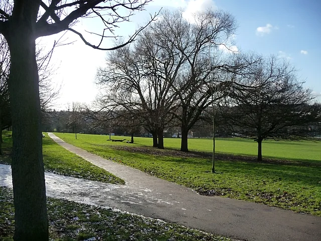
Norwood Park
Country parks · 0.6 km

West Dulwich
Chapels · 0.6 km
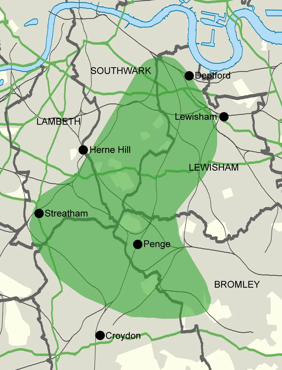
Great North Wood
Archaeological sites · 0.6 km

West Norwood
Chapels · 0.7 km

Dulwich Preparatory School
Natural landmarks · 0.7 km
Dulwich Prep & Senior
Natural landmarks · 0.7 km
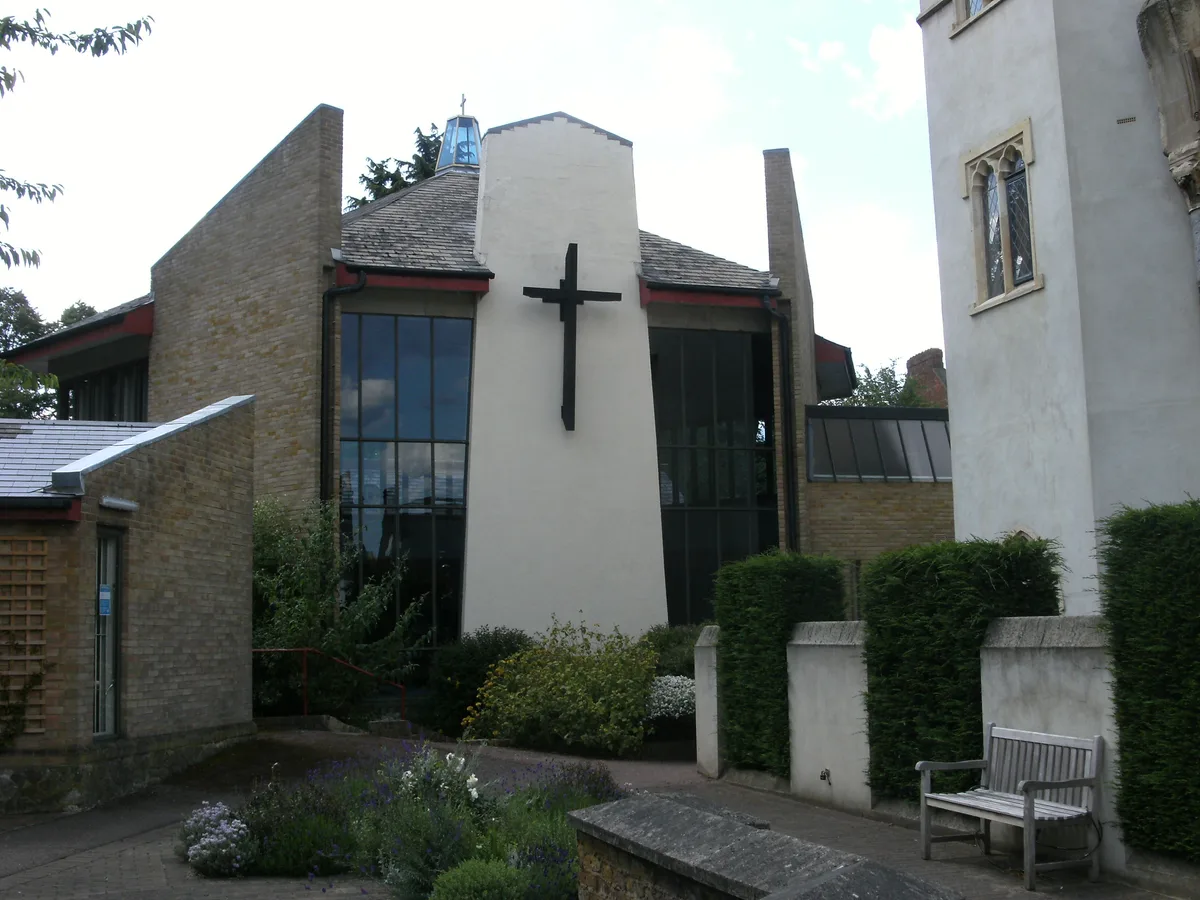
Christ Church, Gipsy Hill
Historic churches · 0.7 km
Nearby
📷 5Public art & sculpture · London
Lamp Post Banner - Community Artwork
Lamp Post Banner - Community Artwork — Public artwork (mural).
📷 5Breweries · London
Gipsy Hill Brewing Company
Gipsy Hill Brewing Company — a brewery in england london.
📷 5Public art & sculpture · London
Sungazer Sculpture At Kingsdale School
Sungazer Sculpture At Kingsdale School in England London, United Kingdom.
📷 5Memorials & monuments · London
Annie Besant
Annie Besant — a memorial in england-london, United Kingdom.
📷 5Chapels · London
Gipsy Hill
Gipsy Hill — a methodist chapel in england-london, United Kingdom.
📷 5Country parks · London
Norwood Park
Norwood Park — park in West Norwood, London.
Where to eat & stay near Lamp Post Banner - Community Artwork
Places to stay
 📷 5
📷 5Campsites · London
South London Scout Centre
South London Scout Centre — a campsite in england london.
 📷 5
📷 5 📷 5
📷 5 📷 5
📷 5Hostels · London
Hootananny Brixton
Hootananny Brixton — a hostel in england london.
 📷 7
📷 7 📷 7
📷 7Hotels · London
Best Western London Peckham Hotel
Best Western London Peckham Hotel — a hotel in england london. 3-star. Brand: Best Western.
Places to eat & drink
 📷 5
📷 5 📷 5
📷 5 📷 5
📷 5Historic pubs · London
The Crown and Greyhound
The Crown and Greyhound in England London, United Kingdom.
 📷 7
📷 7 📷 5
📷 5 📷 7
📷 7More places in this region
 📷 5
📷 5 📷 5
📷 5Public art & sculpture · London
A Conversation with Oscar Wilde
A Conversation with Oscar Wilde — Public artwork (sculpture).
 📷 5
📷 5Public art & sculpture · London
A Sculpture for Mary Wollstonecraft
A Sculpture for Mary Wollstonecraft — Public artwork (sculpture) by Maggi Hambling.
 📷 5
📷 5Public art & sculpture · London
A Slice of Reality
A Slice of Reality — Public artwork (installation) by Richard Wilson.
Frequently asked questions
- Where is Lamp Post Banner - Community Artwork?
- Lamp Post Banner - Community Artwork is in London, United Kingdom (postcode SE19 1QS), in the parish of Lambeth, unparished area.
- What is Lamp Post Banner - Community Artwork?
- Lamp Post Banner - Community Artwork — Public artwork (mural).
- How do I get to Lamp Post Banner - Community Artwork?
- The nearest railway station is Gipsy Hill, about 0.4 km away. The nearest town is Shortlands. Drivers can use postcode SE19 1QS.
- Is Lamp Post Banner - Community Artwork free to visit?
- Yes, Lamp Post Banner - Community Artwork is free to enter.
- How do I get to Lamp Post Banner - Community Artwork?
- The nearest railway station is Gipsy Hill, about 0.4 km away. Drivers can navigate to postcode SE19 1QS.