
Archaeological sites · South East England
Lambridge Wood
In or near Fawley.
Lambridge Wood — woodland in Oxfordshire, England.

Wikimedia Commons contributors — see linked file page for photographer and licence licence

Plan your visit
- Typical visit
- 45 min–1.5 h
- Nearest railway station
- Somersham · 2.5 km
- Free entry
- Dog-friendly
Getting there & planning your visit
To visit Lambridge Wood, the nearest railway station is Somersham, located 2.5 km away. The postcode for navigation is RG9 4RY, and entry is free.
About
Lambridge Wood is an archaeological site in the United Kingdom. Heritage designation: Site of Special Scientific Interest. Wikidata describes it as: "woodland in Oxfordshire, England". Coordinates: 51.5551°, -0.9420°.
Photo gallery
Protected designations
- Site of Special Scientific Interest: Lambridge Wood SSSI
- Area of Outstanding Natural Beauty: Chilterns
Designations sourced from Natural England open data under OGL v3.
From the Wikipedia article
Lambridge Wood is a 73.8-hectare (182-acre) biological Site of Special Scientific Interest north-west of Henley-on-Thames in Oxfordshire. It is in the Chilterns Area of Outstanding Natural Beauty. Soil types in the wood vary from calcareous to very acid. The main trees are beech, and other trees include oak, ash and wych elm. The understorey in mainly bramble, and in some areas bracken. Using the money he made from his TV programmes, the paleontologist Richard Fortey purchased four acres of the wood called Grim’s Dyke Wood, named after Grim's Ditch. He wrote up his investigation into its fauna and flora in The Wood for the Trees: The Long View of Nature from a Small Wood. The book claims that this patch of woodland is the very one that John Stuart Mill who, after a walk through it argued that such woods are “the great beauty of this country”. Access routes include a footpath from Henley through Badgemore Park Golf Club.
Excerpt from Wikipedia under CC BY-SA 4.0. See the source article linked in Sources below.
- Coordinates
- 51.5551, -0.9420
- County
- Oxfordshire
- District
- South Oxfordshire
- Parish
- Bix and Assendon
- Postcode
- RG9 4RY
- Parliamentary constituency
- Henley and Thame
- Nearest railway station
- Somersham — 2.5 km
Sources
- wikidata: Q24993724 (CC0)
- wikipedia: Lambridge Wood (CC BY-SA 4.0)
- commons: Lambridge Wood 8.JPG (CC BY-SA 4.0)
Other places nearby
Bix Manor
Stately homes · 0.8 km

Fairmile Cemetery
Cemeteries · 0.9 km

Golden Ball Public House
Historic pubs · 0.9 km

Lower Assendon
Villages · 1.0 km

Greys Fort (Children's Play Area)
Forts · 1.3 km
Rotherfield Greys Castle
Castles · 1.4 km

Greys Court National Trust Picnic Area
Natural landmarks · 1.4 km

Greys Court (National Trust)
Natural landmarks · 1.5 km

Greys Court
Literary houses · 1.5 km

Greys Court
Castles · 1.5 km

Donkey Wheel Well
Natural landmarks · 1.5 km

Rotherfield Greys Court
Castles · 1.6 km
Nearby
Flagship📷 5Stately homes · South East England
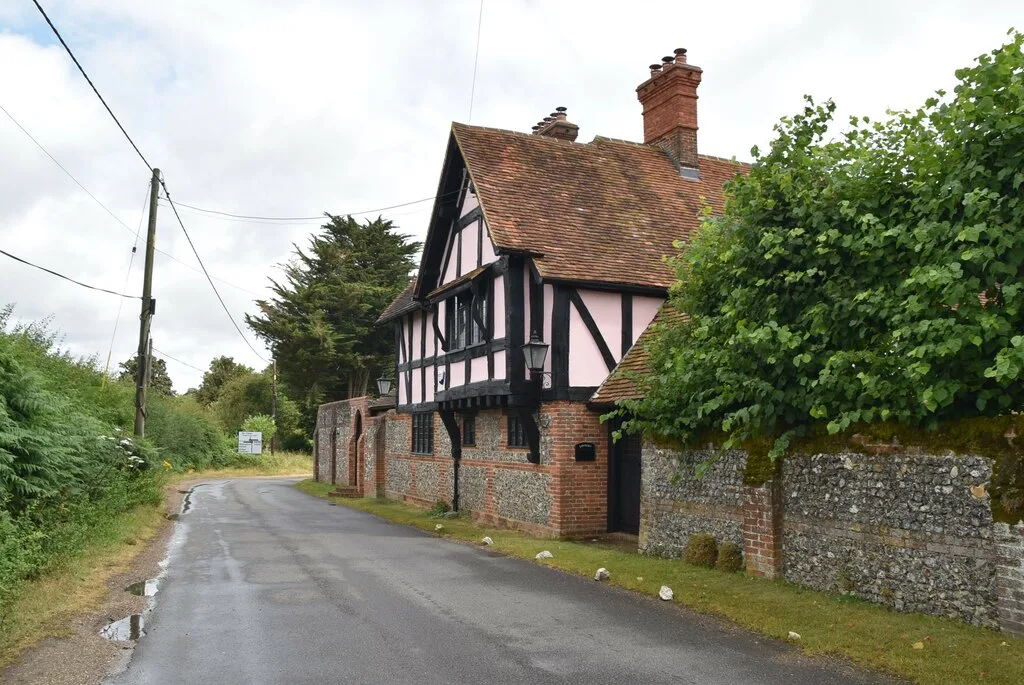
Bix Manor
Bix Manor — manor house in Bix and Assendon, South Oxfordshire, England, UK.
📷 5Cemeteries · South East England
Fairmile Cemetery
Fairmile Cemetery is a cemetery in the United Kingdom.
📷 5Historic pubs · South East England
Golden Ball Public House
Golden Ball Public House in England South East, United Kingdom.
📷 5📷 5Forts · South East England
Greys Fort (Children's Play Area)
Greys Fort (Children's Play Area) — a other in england-south-east, United Kingdom.
📷 5Castles · South East England
Rotherfield Greys Castle
Rotherfield Greys Castle, initially known as Retherfield Castle, is a 14th-century fortified manor house built in Rotherfield Greys, Oxfordshire. Only the ruins of a single tower and a section of curt
Where to eat & stay near Lambridge Wood
Places to stay
 📷 5
📷 5Campsites · South East England
Swiss Farm Touring and Camping
Swiss Farm Touring and Camping — a campsite in england south east.
📷 5 📷 5
📷 5Hotels · South East England
The Catherine Wheel
The Catherine Wheel — a hotel in england south east.
 📷 7
📷 7 📷 5
📷 5Campsites · South East England
Embers Henley
Embers Henley — a campsite in england south east.
 📷 5
📷 5Places to eat & drink
📷 5Historic pubs · South East England
Golden Ball Public House
Golden Ball Public House in England South East, United Kingdom.
 📷 7
📷 7Historic pubs · South East England
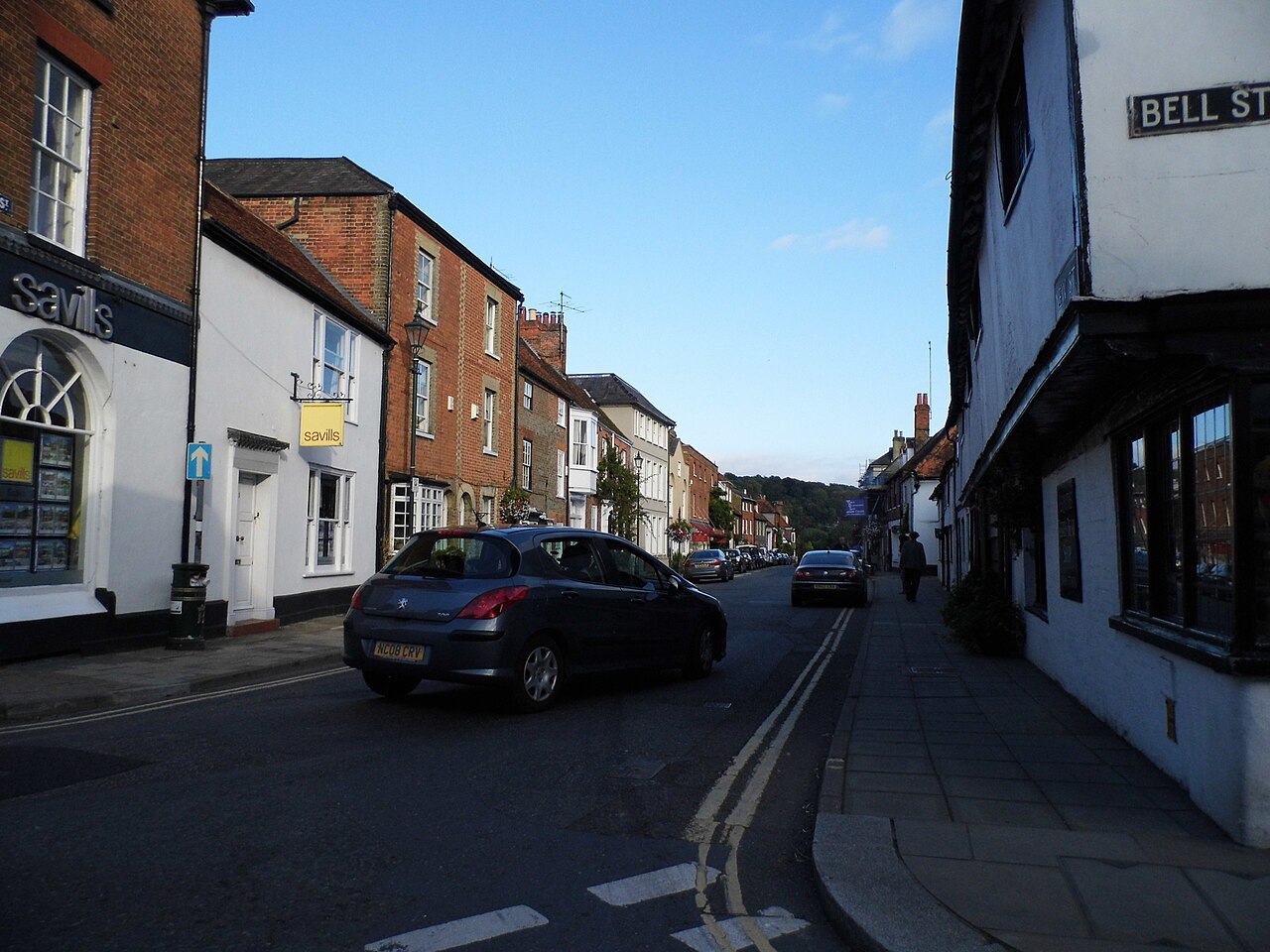
The Row Barge Public House
The Row Barge Public House in England South East, United Kingdom.
 📷 7
📷 7Cafés · South East England
Caffè Nero
Caffè Nero — a café in england south east. Cuisine: coffee shop. Brand: Caffè Nero.
 📷 7
📷 7Restaurants · South East England
The Square
The Square — a restaurant in england south east.
 📷 7
📷 7Historic pubs · South East England
The Red Cross Public House
The Red Cross Public House in England South East, United Kingdom.
 📷 7
📷 7More archaeological sites in this region
 📷 5
📷 5Archaeological sites · South East England
Chatham Dockyard, site of South Mast Pond
Chatham Dockyard, site of South Mast Pond — archaeological site in Medway, Kent, England, UK.
 📷 5
📷 5Archaeological sites · South East England
Open areas within Roman, Saxon and medieval town
Open areas within Roman, Saxon and medieval town — archaeological site in Medway, Kent, England, UK.
 📷 5
📷 5Archaeological sites · South East England
Oxmoor Copse
Oxmoor Copse — woodland in Surrey, England.
 📷 5
📷 5Frequently asked questions
- Where is Lambridge Wood?
- Lambridge Wood is in Oxfordshire, South-East England, United Kingdom (postcode RG9 4RY), in the parish of Bix and Assendon.
- What is Lambridge Wood?
- Lambridge Wood — woodland in Oxfordshire, England.
- How do I get to Lambridge Wood?
- The nearest railway station is Somersham, about 2.5 km away. The nearest town is Fawley. Drivers can use postcode RG9 4RY.
- Is Lambridge Wood a listed building?
- Lambridge Wood is officially recognised as Site of Special Scientific Interest listed.
- Is Lambridge Wood a protected site?
- Yes — Lambridge Wood is part of the Lambridge Wood SSSI Site of Special Scientific Interest and the Chilterns National Landscape (AONB).
- Is Lambridge Wood free to visit?
- Yes, Lambridge Wood is free to enter.
- How do I get to Lambridge Wood?
- The nearest railway station is Somersham, about 2.5 km away. Drivers can navigate to postcode RG9 4RY.