
Reservoirs & lochs · West Midlands
Knypersley Reservoir
In or near Endon.
Knypersley Reservoir — reservoir in Staffordshire, England, UK.

Wikimedia Commons contributors — see linked file page for photographer and licence licence

Plan your visit
- Typical visit
- 1 h–2.5 h
- Nearest railway station
- Kidsgrove · 5.9 km
- Free entry
- Dog-friendly
Getting there & planning your visit
To visit Knypersley Reservoir, the nearest railway station is Kidsgrove, located 5.9 km away. Entry to the reservoir is free.
About
Knypersley Reservoir is a reservoir in the United Kingdom. Wikidata describes it as: "reservoir in Staffordshire, England, UK". Coordinates: 53.0941°, -2.1574°.
Photo gallery
From the Wikipedia article
Knypersley Reservoir near Biddulph, Staffordshire, England, was built in 1827 to supply water to the Caldon Canal, along with two others at Stanley Pool and Rudyard Lake. It is the only reservoir along the course of the River Trent and is surrounded by Greenway Bank Country Park. There are two adjacent lakes at the site, the upper Serpentine Pool feeding the lower Knypersley Pool or reservoir. Designed by Thomas Telford, it was constructed by the waterways engineer James Potter. There were a number of problems both during and after construction with settlement of the dam, and a number of repairs had to be made. In 2006, substantial improvements were made by British Waterways, and it is currently operated and managed by their successors, the Canal & River Trust, as part of the Caldon Canal group which also includes Stanley Pool and Rudyard Lake. There are several features surrounding the reservoir which date back to the days when the site was part of the landscaped grounds of a stately home, these include a Castellated Tower, Ancient Well and Hermits Stone. The reservoir and surrounding woodland support a wide range of birds including the mallard, great crested grebe, grey heron, blue tit, great tit, coal tit, chaffinch, grey wagtail, nuthatch and robin. The fishing rights are owned separately by a consortium of local angling clubs, the Cheshire and North Staffs Angling Association. The fishery is known for its stocks of large fish, notably bream, but also includes roach, perch, pike and a few carp that due to their low numbers are not easy to catch. The association manages the fishery on a catch and release basis.
Excerpt from Wikipedia under CC BY-SA 4.0. See the source article linked in Sources below.
- Coordinates
- 53.0941, -2.1574
- County
- Staffordshire
- District
- Staffordshire Moorlands
- Parish
- Brown Edge
- Postcode
- ST8 7QY
- Parliamentary constituency
- Staffordshire Moorlands
- Established
- 1825
- Nearest railway station
- Kidsgrove — 5.9 km
Sources
- wikidata: Q7376612 (CC0)
- wikipedia: Knypersley Reservoir (CC BY-SA 4.0)
- commons: Knypersley reservoir view.jpg (CC BY-SA 4.0)
Other places nearby

Warders Tower
Follies · 0.2 km

Prospect Tower And Attached Wing
Memorials & monuments · 0.2 km

Greenway Bank Grotto
Follies · 0.7 km

Meadow Stile Caravan Park
Caravan parks · 2.8 km

Biddulph War Memorial
Memorials & monuments · 2.9 km

Biddulph Millennium Garden
Gardens · 2.9 km

Biddulph
Museums · 2.9 km

Horton Common Caravan Site
Campsites · 3.0 km

Mine Cart Structure
Public art & sculpture · 3.5 km

Endon
Towns & cities · 3.5 km

Urn
Public art & sculpture · 3.8 km

Railway Bridge Pivot
Historic bridges · 3.9 km
Nearby
📷 3📷 3Memorials & monuments · West Midlands
Prospect Tower And Attached Wing
Prospect Tower And Attached Wing — Grade II* listed building-listed memorial in england-west-midlands, United Kingdom.
📷 3📷 5Caravan parks · West Midlands
Meadow Stile Caravan Park
Meadow Stile Caravan Park — a caravan park in england west midlands.
📷 3Memorials & monuments · West Midlands
Biddulph War Memorial
Biddulph War Memorial is a memorial in the United Kingdom.
📷 3Gardens · West Midlands
Biddulph Millennium Garden
Biddulph Millennium Garden is a garden in the United Kingdom.
Where to eat & stay near Knypersley Reservoir
Places to stay
📷 5Caravan parks · West Midlands
Meadow Stile Caravan Park
Meadow Stile Caravan Park — a caravan park in england west midlands.
📷 5Campsites · West Midlands
Horton Common Caravan Site
Horton Common Caravan Site — a campsite in england west midlands.
 📷 5
📷 5Caravan parks · West Midlands
Sky View CAMC Certificated Location
Sky View CAMC Certificated Location — a caravan park in england west midlands.
 📷 5
📷 5Campsites · West Midlands
Castle Camping
Castle Camping — a campsite in england west midlands.
 📷 5
📷 5Caravan parks · West Midlands
Rudyard Vale Caravan Park
Rudyard Vale Caravan Park — a caravan park in england west midlands.
 📷 5
📷 5Campsites · West Midlands
Barnswood Scout Camp Site
Barnswood Scout Camp Site — a campsite in england west midlands.
Places to eat & drink
 📷 5
📷 5Historic pubs · West Midlands
The Vine Public House
The Vine Public House in England North West, United Kingdom.
 📷 5
📷 5Historic pubs · West Midlands
Stafford Arms Public House And St Chad's House
Stafford Arms Public House And St Chad's House in England North West, United Kingdom.
 📷 5
📷 5Historic pubs · West Midlands
Leopard Public House
Leopard Public House in England North West, United Kingdom.
 📷 3
📷 3Historic pubs · West Midlands
Duke William
Duke William — Historic pub — listed building or notable heritage status.
 📷 3
📷 3Historic pubs · North West England
Olde Kings Arms
Olde Kings Arms — Historic pub — listed building or notable heritage status.
 📷 5
📷 5Historic pubs · North West England
The Counting House
The Counting House in England North West, United Kingdom.
More places in this region
 📷 3
📷 3Reservoirs & lochs · West Midlands
Blithfield Reservoir
Blithfield Reservoir — reservoir in the United Kingdom.
 📷 3
📷 3Reservoirs & lochs · West Midlands
Blithfield Reservoir Walks
Blithfield Reservoir Walks — a place in West Midlands, United Kingdom.
 Flagship📷 3
Reservoirs & lochs · West Midlands
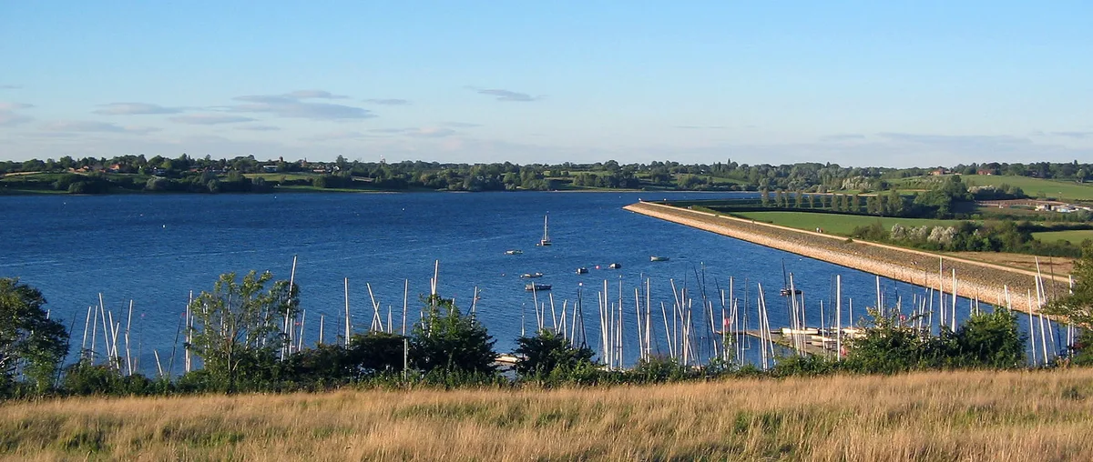
Draycote Water
Draycote Water — reservoir in the United Kingdom.
 Flagship📷 3
Reservoirs & lochs · West Midlands
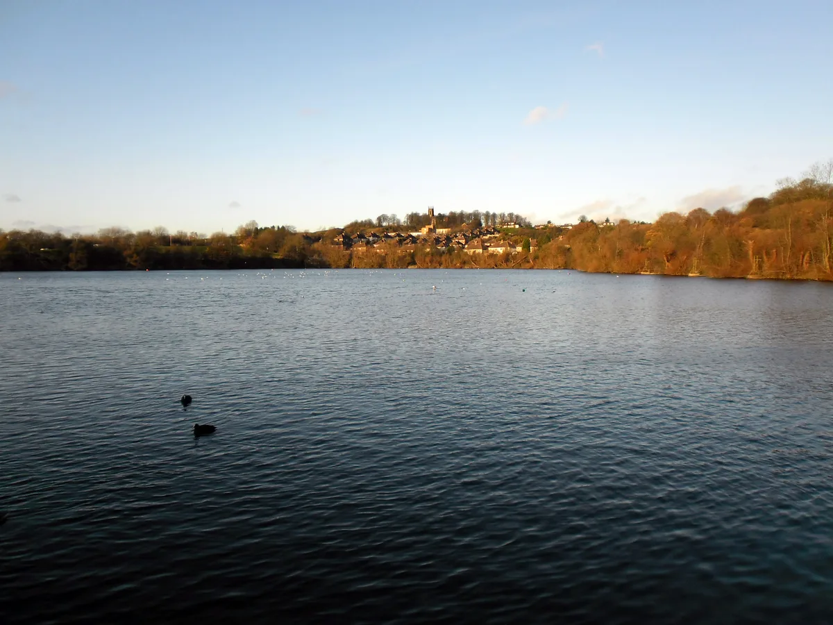
Netherton Reservoir
Netherton Reservoir — reservoir in West Midlands, England, UK.
Frequently asked questions
- Where is Knypersley Reservoir?
- Knypersley Reservoir is in Staffordshire, the West Midlands, United Kingdom (postcode ST8 7QY), in the parish of Brown Edge.
- What is Knypersley Reservoir?
- Knypersley Reservoir — reservoir in Staffordshire, England, UK.
- How do I get to Knypersley Reservoir?
- The nearest railway station is Kidsgrove, about 5.9 km away. The nearest town is Endon. Drivers can use postcode ST8 7QY.
- When was Knypersley Reservoir built?
- Built or established in 1825.
- Is Knypersley Reservoir free to visit?
- Yes, Knypersley Reservoir is free to enter.
- How do I get to Knypersley Reservoir?
- The nearest railway station is Kidsgrove, about 5.9 km away. Drivers can navigate to postcode ST8 7QY.