Gardens · Central Scotland
Kinness Burn
In or near Strathkinness.
Kinness Burn in Scotland Islands, United Kingdom.

Richard Sutcliffe — CC BY-SA 2.0 via Wikimedia Commons licence
Plan your visit
- Typical visit
- 1 h–2.5 h
- Best time of year
- Spring & summer (Apr–Sep)
- Nearest railway station
- Leuchars · 7.9 km
- Dog-friendly
Getting there & planning your visit
To visit Kinness Burn in Fife, the nearest railway station is Leuchars, located 7.9 km away. The postcode for navigation is KY16 9QJ. Entry details and accessibility information are not specified.
About
Kinness Burn is a place of interest in Scotland Islands, United Kingdom — drawn from open-data sources for visitor reference. See the linked Wikipedia article for the full description.
Photo gallery
See it from the streetimagery from 2018
Imagery © Mapillary contributors, CC BY-SA 4.0
From the Wikipedia article
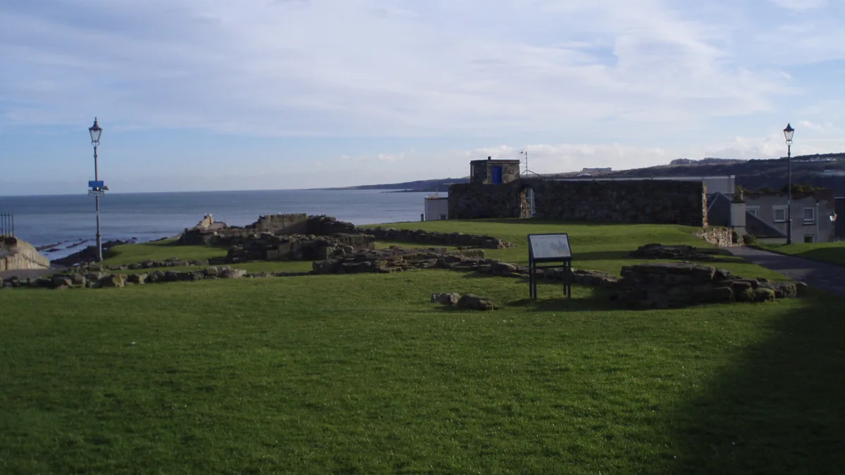
The Kinness Burn is a 5+3⁄4 miles (9.5 kilometres) long burn (stream) in Fife, Scotland. It flows into the North Sea through the inner harbour of St Andrews on the east coast of Fife. The name of the village of Strathkinness, located 3 miles west of St Andrews, means the valley (strath) of the Kinness. The source of the burn is on a low Clatto hill to the west of Strathkinness, near the village of Blebocraigs. The St Andrews Botanic Garden is located on the banks of the Kinness Burn. The Fife Pilgrim Way follows the Kinness Burn for about a mile within St Andrews, where it joins the Lade Braes Walk.
Excerpt from Wikipedia under CC BY-SA 4.0. See the source article linked in Sources below.
- Coordinates
- 56.3388, -2.7841
- District
- Fife
- Postcode
- KY16 9QJ
- Parliamentary constituency
- North East Fife
- Nearest railway station
- Leuchars — 7.9 km
- Official site
- www.scottish-places.info
Sources
- wikidata: Q108756925 (CC0)
- wikipedia: Kinness Burn (CC BY-SA 4.0)
Other places nearby
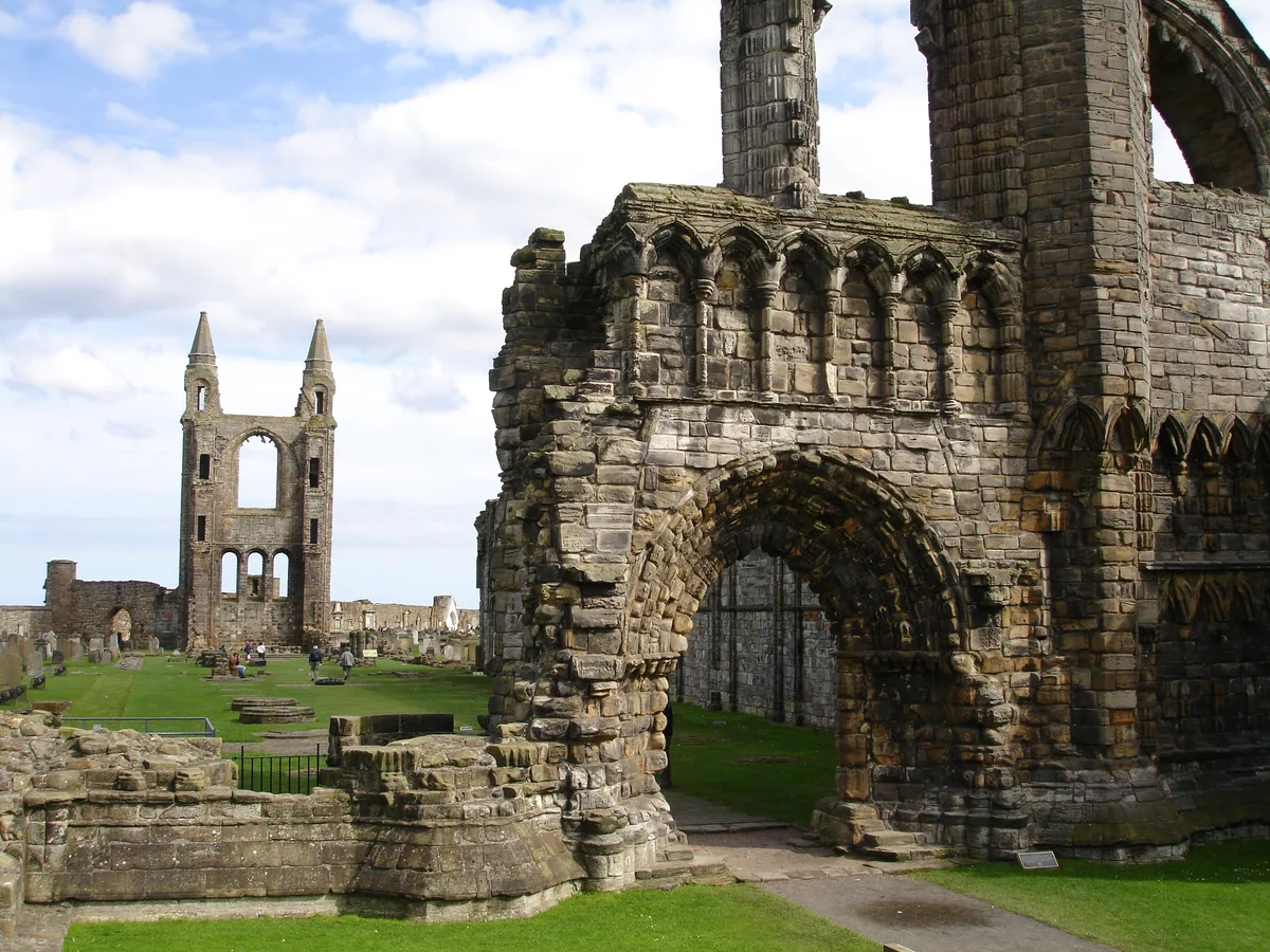
St Andrews Cathedral Priory
Cathedrals · 0.0 km

St Andrews Harbour
Harbours & ports · 0.1 km

St. Mary on the Rock
Historic churches · 0.1 km
St Andrews, Kirk Hill, St Mary's Church
Historic churches · 0.1 km

St Rule's Tower
Viewpoints · 0.2 km

St Rule's Church and St Rule's Tower
Historic churches · 0.2 km

St Andrews Sarcophagus
Cathedrals · 0.2 km
St Andrews Cathedral Museum
Museums · 0.2 km
St Andrews Cathedral, Saint Andrews
Cathedrals · 0.3 km

St Andrews Cathedral (Ruins)
Cathedrals · 0.3 km

St Andrews Lifeboat Station
Historic churches · 0.3 km

The Pends
Historic houses · 0.3 km
Nearby
📷 3Cathedrals · Central Scotland
St Andrews Cathedral Priory
St Andrews Cathedral Priory in Scotland Islands, United Kingdom.
📷 3Harbours & ports · Central Scotland
St Andrews Harbour
St Andrews Harbour — harbour in Fife, Scotland, UK.
📷 3Historic churches · Central Scotland
St. Mary on the Rock
St. Mary on the Rock — a other in scotland-central, United Kingdom.
📷 3Historic churches · Central Scotland
St Andrews, Kirk Hill, St Mary's Church
St Andrews, Kirk Hill, St Mary's Church — Secular college of priests.
📷 3Viewpoints · Central Scotland
St Rule's Tower
St Rule's Tower is a viewpoint in the United Kingdom.
📷 5Historic churches · Central Scotland
St Rule's Church and St Rule's Tower
St Rule's Church and St Rule's Tower — part of a Scheduled Monument-listed church in scotland-central, United Kingdom.
Where to eat & stay near Kinness Burn
Places to stay
 📷 5
📷 5Hostels · Central Scotland
St Andrews Tourist Hostel
St Andrews Tourist Hostel — a hostel in scotland central.
 📷 5📷 5
Hotels · Central Scotland
Hôtel du Vin & Bistro
Hôtel du Vin & Bistro — a hotel in scotland central. 4-star. Brand: Hôtel du Vin & Bistro.
 📷 5
📷 5 📷 5
📷 5Caravan parks · Central Scotland
St. Andrews Holiday Park
St. Andrews Holiday Park — a caravan park in scotland central.
 📷 4
📷 4Caravan parks · Central Scotland
Cairnsmill Caravan Park
Cairnsmill Caravan Park — a caravan park in scotland central.
Places to eat & drink
 📷 6
📷 6 📷 7
📷 7 📷 7
📷 7Historic pubs · Central Scotland
Balcarres Arms Hotel, 59 Main Street, Colinsburgh
Balcarres Arms Hotel, 59 Main Street, Colinsburgh in Scotland Central, United Kingdom.
 📷 7
📷 7Historic pubs · Central Scotland
Railway Tavern, 14, 16 High Street West, Anstruther Wester
Railway Tavern, 14, 16 High Street West, Anstruther Wester in Scotland Central, United Kingdom.
 📷 7
📷 7Historic pubs · Central Scotland
12 Shore Street, Anstruther Easter
12 Shore Street, Anstruther Easter in Scotland Central, United Kingdom.
 📷 5
📷 5Historic pubs · Central Scotland
The Eagle Inn, 157-159 King Street, Broughty Ferry, Dundee
The Eagle Inn, 157-159 King Street, Broughty Ferry, Dundee in Scotland Central, United Kingdom.
More gardens in this region
 📷 5
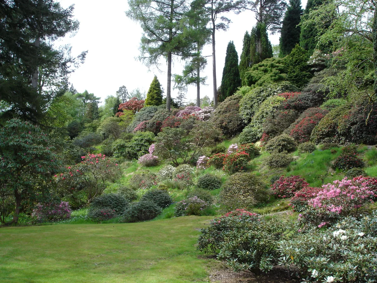
📷 5Gardens · Central Scotland
Benmore Botanic Garden
Benmore Botanic Garden — botanical garden in Argyll and Bute, Scotland, UK.
.jpg?width=1200) 📷 3
📷 3 📷 3
📷 3Gardens · Central Scotland
Ardchattan Priory
Ardchattan Priory — monastery buildings later used as a house, in Argyll and Bute, Scotland, UK.
 📷 3
📷 3Gardens · Central Scotland
Colonsay House garden
Colonsay House garden — woodland garden and designed landscape in Kiloran on Colonsay, Argyll and Bute, Scotland, UK.
Frequently asked questions
- Where is Kinness Burn?
- Kinness Burn is in the Scottish Highlands, United Kingdom (postcode KY16 9QJ).
- What is Kinness Burn?
- Kinness Burn in Scotland Islands, United Kingdom.
- How do I get to Kinness Burn?
- The nearest railway station is Leuchars, about 7.9 km away. Drivers can use postcode KY16 9QJ.
- How do I get to Kinness Burn?
- The nearest railway station is Leuchars, about 7.9 km away. Drivers can navigate to postcode KY16 9QJ.