
Hill forts · South Wales
Kings Weston Roman Villa
In or near Easter Compton.
Kings Weston Roman Villa — ancient Roman structure in City of Bristol, South West England, England, UK.

Wikimedia Commons contributors — see linked file page for photographer and licence licence

Plan your visit
- Typical visit
- 1 h–2 h
- Nearest railway station
- Shirehampton · 1.7 km
- Free entry
- Dog-friendly
Getting there & planning your visit
To visit Kings Weston Roman Villa, the nearest railway station is Shirehampton, located 1.7 km away. Entry is free, and the postcode for sat-nav is BS11 0LP.
About
Kings Weston Roman Villa is a hill fort in the United Kingdom. Wikidata describes it as: "ancient Roman structure in City of Bristol, South West England, England, UK". Coordinates: 51.4973°, -2.6672°.
Photo gallery
See it from the streetimagery from 2019
Imagery © Mapillary contributors, CC BY-SA 4.0
Protected designations
- Site of Special Scientific Interest: Severn Estuary SSSI
Designations sourced from Natural England open data under OGL v3.
From the Wikipedia article
Kings Weston Roman Villa is located in Lawrence Weston in the north-west of Bristol (grid reference ST533775). Discovered in 1947 during the construction of the post-war housing estate, the site consists of two distinct buildings: a fully excavated eastern building and a partially explored western building located beneath the modern Long Cross road. The ruins of the Roman villa are a Scheduled Monument that represents a winged corridor design common in Roman Britain. It is notable for retaining original mosaic floors, a hypocaust system, and the only Roman bath suite visible in Bristol. Finds from the site, including coinage, jewellery, and human remains, are held by the Bristol Museum & Art Gallery.
Excerpt from Wikipedia under CC BY-SA 4.0. See the source article linked in Sources below.
Background
Architecture
The extant remains belong primarily to the eastern building, a single-story winged corridor villa built into a slope. The structure was largely symmetrical, featuring a central open courtyard surrounded by wings to the east and west, and a transverse corridor (porticus) connecting them. The walls were constructed of Carboniferous Limestone foundations with a superstructure of calcareous sandstone, rendered externally with white stucco. Around AD 300 (Period Two A), the porticus underwent a significant rebuild, likely necessitated by subsidence caused by an underlying ditch. During this reconstruction, the original Tuscan columns were replaced by an arcade of arches supported on stone…
Sourced from Wikipedia under CC BY-SA 4.0.
- Coordinates
- 51.4973, -2.6672
- District
- Bristol, City of
- Parish
- Bristol, City of, unparished area
- Postcode
- BS11 0LP
- Parliamentary constituency
- Bristol North West
- Established
- 1947
- Nearest railway station
- Shirehampton — 1.7 km
- Official site
- www.bristol.gov.uk
Sources
- wikidata: Q6413039 (CC0)
- wikipedia: Kings Weston Roman Villa (CC BY-SA 4.0)
- commons: Kings Weston Roman Villa.jpg (CC BY-SA 4.0)
Other places nearby

Shirehampton
Historic churches · 0.4 km
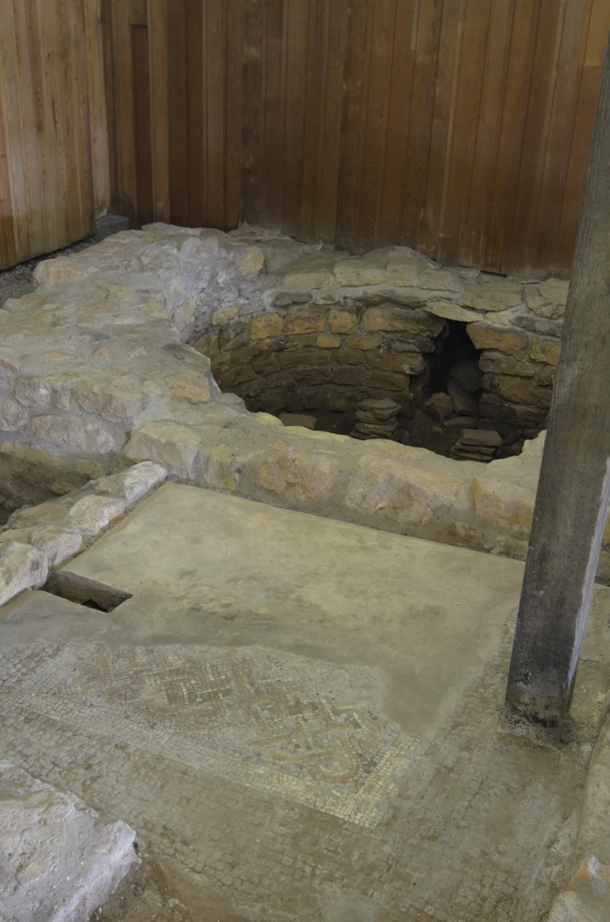
Part of a minor Romano-British villa at Long Cross
Archaeological sites · 0.5 km
Blaise Museum - Kingsweston Roman Villa
Museums · 0.5 km

Kings Weston House
Manor houses · 0.5 km

Bewys Cross (Remains)
Memorials & monuments · 0.6 km

Kingsweston School
Natural landmarks · 0.7 km

Michael Ian Lee
Memorials & monuments · 0.7 km

War Memorial
Memorials & monuments · 0.7 km

Lawrence Weston, Bristol
Other places · 0.8 km

Penpole Point
Memorials & monuments · 0.8 km

Shirehampton
Villages · 1.1 km

Sir Robert Stephens
Memorials & monuments · 1.3 km
Nearby
📷 5Historic churches · South Wales
Shirehampton
Shirehampton — a church in wales-south, United Kingdom.
📷 3Archaeological sites · South Wales
Part of a minor Romano-British villa at Long Cross
Part of a minor Romano-British villa at Long Cross — archaeological site in City of Bristol, South West England, England, UK.
📷 3Museums · South Wales
Blaise Museum - Kingsweston Roman Villa
Blaise Museum - Kingsweston Roman Villa — a museum in South Wales, United Kingdom.
📷 3Manor houses · South Wales
Kings Weston House
Kings Weston House — a manor in South Wales, United Kingdom.
📷 3Memorials & monuments · South Wales
Bewys Cross (Remains)
Bewys Cross (Remains) — a memorial in South Wales, United Kingdom.
📷 5Natural landmarks · South Wales
Kingsweston School
Kingsweston School — a school heritage in wales-south, United Kingdom.
Where to eat & stay near Kings Weston Roman Villa
Places to stay
 📷 5
📷 5 📷 7
📷 7B&Bs · South West England
Ferndale Mews
Ferndale Mews — a bed-and-breakfast in wales south.
 📷 5
📷 5Campsites · South West England
Brockmead Scout Camp Site
Brockmead Scout Camp Site — a campsite in wales south.
 📷 5
📷 5 📷 5
📷 5Hotels · South West England
Rodney Hotel
Rodney Hotel — a hotel in wales south.
 📷 7
📷 7Hotels · South West England
OYO The Regency
OYO The Regency — a hotel in wales south.
Places to eat & drink
 📷 5
📷 5Historic pubs · South Wales
The Lamplighters Public House
The Lamplighters Public House in Wales South, United Kingdom.
 📷 5
📷 5 📷 7
📷 7Historic pubs · South West England
Blaise Inn Public House
Blaise Inn Public House in Wales South, United Kingdom.
 📷 7
📷 7 📷 5
📷 5Historic pubs · South West England
Clifton Down railway station
Clifton Down railway station in Wales South, United Kingdom.
 📷 5
📷 5More places in this region
 📷 3
📷 3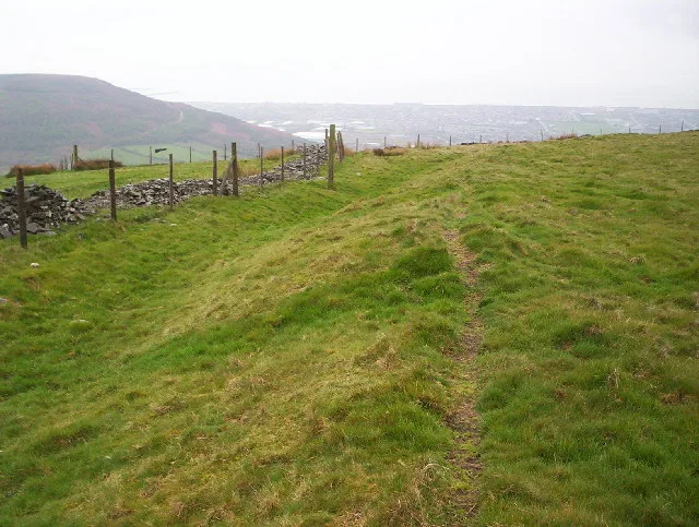 📷 3
📷 3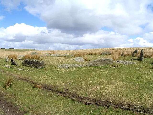 📷 3
📷 3Hill forts · South Wales
Carn Llechart
Carn Llechart — archaeological site in Neath Port Talbot County Borough, Wales, UK.
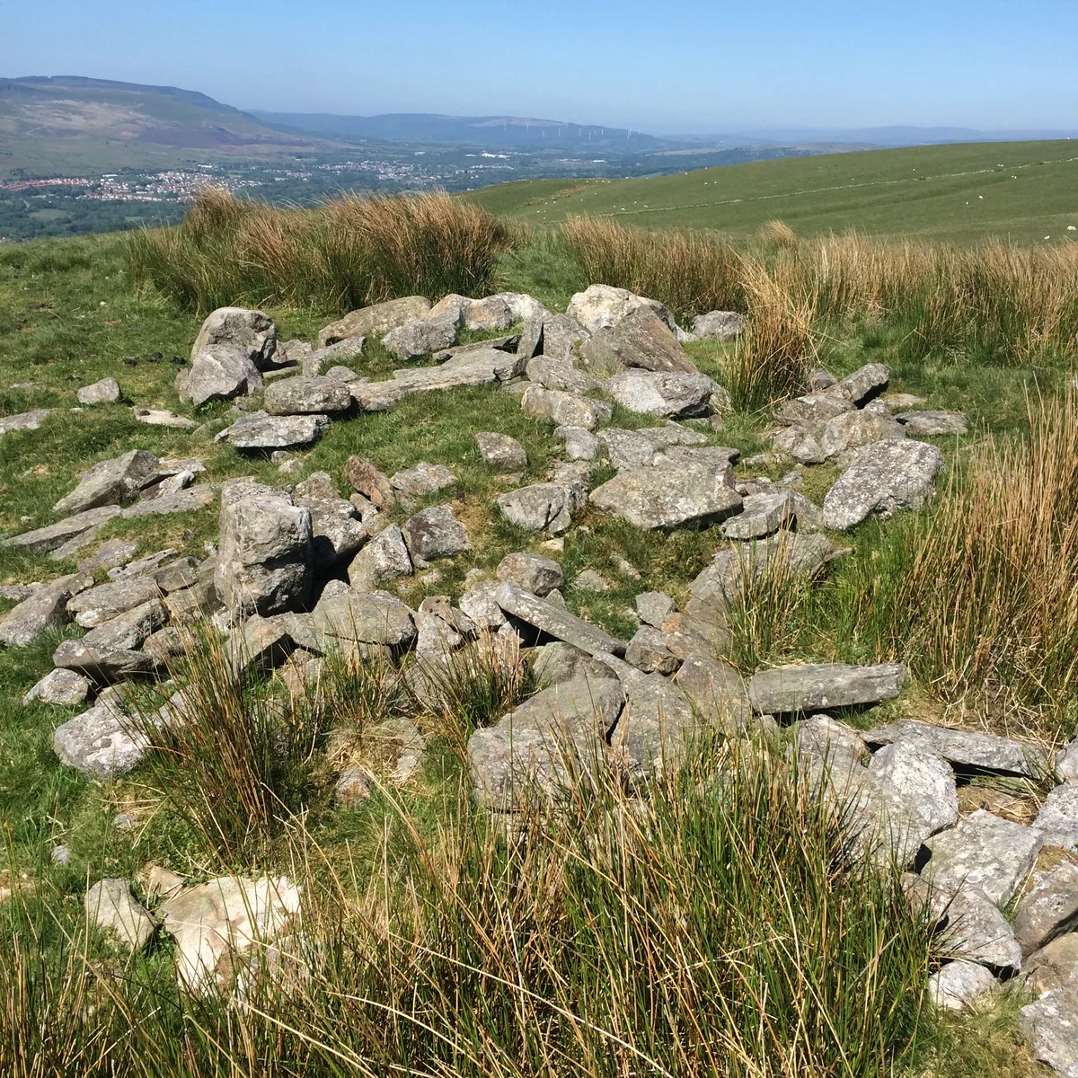 📷 3
📷 3Hill forts · South Wales
Carn Pentyle-Hir & Adjacent Round Cairn
Carn Pentyle-Hir & Adjacent Round Cairn — archaeological site in Rhondda Cynon Taf, Wales, UK.
Frequently asked questions
- Where is Kings Weston Roman Villa?
- Kings Weston Roman Villa is in South Wales, United Kingdom (postcode BS11 0LP), in the parish of Bristol, City of, unparished area.
- What is Kings Weston Roman Villa?
- Kings Weston Roman Villa — ancient Roman structure in City of Bristol, South West England, England, UK.
- How do I get to Kings Weston Roman Villa?
- The nearest railway station is Shirehampton, about 1.7 km away. The nearest town is Easter Compton. Drivers can use postcode BS11 0LP.
- When was Kings Weston Roman Villa built?
- Built or established in 1947.
- Who owns Kings Weston Roman Villa?
- Kings Weston Roman Villa is owned by Bristol Museum & Art Gallery.
- Is Kings Weston Roman Villa a protected site?
- Yes — Kings Weston Roman Villa is part of the Severn Estuary SSSI Site of Special Scientific Interest.
- Is Kings Weston Roman Villa free to visit?
- Yes, Kings Weston Roman Villa is free to enter.
- How do I get to Kings Weston Roman Villa?
- The nearest railway station is Shirehampton, about 1.7 km away. Drivers can navigate to postcode BS11 0LP.