
Wildlife reserves · South East England
Kings and Bakers Woods and Heaths
In or near Great Brickhill.
Kings and Bakers Woods and Heaths — nature reserve in the United Kingdom.

Wikimedia Commons contributors — see linked file page for photographer and licence licence

Plan your visit
- Typical visit
- 2 h–4 h
- Best time of year
- Autumn & winter (migration & wildfowl)
- Nearest railway station
- Stonehenge Works · 2.9 km
- Free entry
- Family-friendly
- Dog-friendly
- Limited wheelchair access
Getting there & planning your visit
Kings and Bakers Woods and Heaths is located in Central Bedfordshire with the postcode LU7 0FR. The nearest railway station is Stonehenge Works, which is 2.9 km away. Admission is free, but accessibility is limited for wheelchair users.
About
Kings and Bakers Woods and Heaths is a wildlife reserve in the United Kingdom. Heritage designation: Site of Special Scientific Interest. Managed by Wildlife Trust for Bedfordshire, Cambridgeshire and Northamptonshire. Wikidata describes it as: "nature reserve in the United Kingdom". Coordinates: 51.9600°, -0.6550°.
Photo gallery
Protected designations
- Site of Special Scientific Interest: Kings and Bakers Woods and Heaths SSSI
- National Nature Reserve: KING'S WOOD AND RUSHMERE
- Area of Outstanding Natural Beauty: Chilterns
Designations sourced from Natural England open data under OGL v3.
From the Wikipedia article
Kings and Bakers Woods and Heaths is a 212.8-hectare (526-acre) Site of Special Scientific Interest (SSSI) between Heath and Reach in Bedfordshire and Great Brickhill in Buckinghamshire. The site is mainly in Bedfordshire but includes Rammamere Heath in Buckinghamshire. It was notified in 1984 under Section 28 of the Wildlife and Countryside Act 1981, and the local planning authorities are Central Bedfordshire Council and Aylesbury Vale Council. Part of it is a National Nature Reserve, and part of it is a nature reserve managed by the Wildlife Trust for Bedfordshire, Cambridgeshire and Northamptonshire. it is also a Nature Conservation Review site. The site has the largest remaining area of woodland in Bedfordshire, together with lowland heath, acidic grassland and some small ponds. There are a number of rare plant species, including great woodrush, wood vetch and saw-wort. There are also abundant birds and insects, including white admiral butterflies and tree pipits. There is parking in Stockgrove Country Park, which is partly in the SSSI.
Excerpt from Wikipedia under CC BY-SA 4.0. See the source article linked in Sources below.
- Coordinates
- 51.9600, -0.6550
- District
- Central Bedfordshire
- Parish
- Heath and Reach
- Postcode
- LU7 0FR
- Parliamentary constituency
- Dunstable and Leighton Buzzard
- Nearest railway station
- Stonehenge Works — 2.9 km
Sources
- wikidata: Q20979087 (CC0)
- wikipedia: Kings and Bakers Woods and Heaths (CC BY-SA 4.0)
- commons: King's Wood, Heath and Reach 4.JPG (CC BY-SA 4.0)
Other places nearby

King's Wood
Forests & woodlands · 0.1 km

Stockgrove Sundial
Natural landmarks · 0.9 km

Stockgrove Country Park
Parks · 1.1 km

Heath and Reach
Villages · 1.7 km

Duke's Head Public House
Historic pubs · 1.9 km

Axe And Compasses Public House
Historic pubs · 2.0 km

Great Brickhill
Towns & cities · 2.1 km

Heath Manor
Manor houses · 2.2 km

Rushmere Manor
Manor houses · 2.3 km

Craddock's Camp
Vineyards · 2.4 km
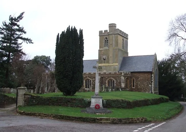
St Mary the Virgin, Great Brickhill
Historic churches · 2.6 km
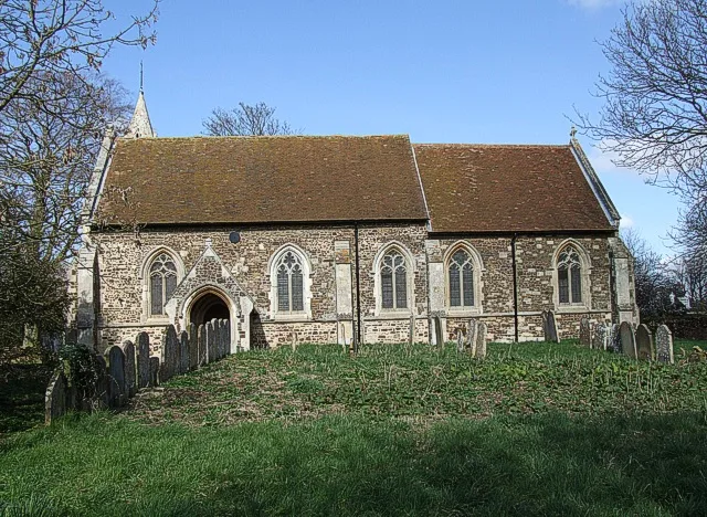
St Mary's Church, Potsgrove
Historic churches · 2.6 km
Nearby
📷 3Forests & woodlands · South East England
King's Wood
King's Wood is a forest or woodland in the United Kingdom.
📷 3Natural landmarks · South East England
Stockgrove Sundial
Stockgrove Sundial — a place in South East England, United Kingdom.
📷 3Parks · South East England
Stockgrove Country Park
Stockgrove Country Park — Nature park in England.
📷 5📷 5Historic pubs · East of England
Duke's Head Public House
Duke's Head Public House in England East, United Kingdom.
📷 5Historic pubs · East of England
Axe And Compasses Public House
Axe And Compasses Public House in England East, United Kingdom.
Where to eat & stay near Kings and Bakers Woods and Heaths
Places to stay
 📷 3
📷 3Campsites · South East England
Heron's Rural Retreat
Heron's Rural Retreat — a campsite in england west midlands.
 📷 7
📷 7Hotels · South East England
The Woburn Hotel
The Woburn Hotel — a hotel in england west midlands.
📷 7Hotels · South East England
The Woburn Inn
The Woburn Inn — a hotel in england west midlands.
 📷 5
📷 5Campsites · South East England
The Old Dairy Farm
The Old Dairy Farm — a campsite in england west midlands.
 📷 5
📷 5 📷 5
📷 5Hotels · South East England
DoubleTree by Hilton Milton Keynes
DoubleTree by Hilton Milton Keynes — a hotel in england west midlands. 4-star. Brand: DoubleTree.
Places to eat & drink
📷 5Historic pubs · East of England
Duke's Head Public House
Duke's Head Public House in England East, United Kingdom.
📷 5Historic pubs · East of England
Axe And Compasses Public House
Axe And Compasses Public House in England East, United Kingdom.
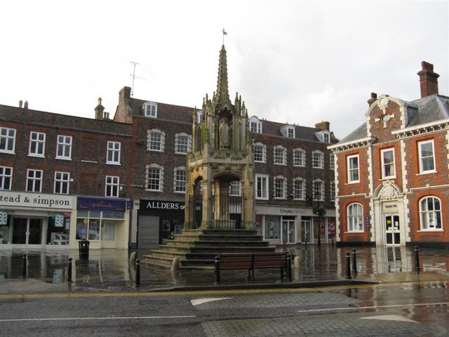 📷 5
📷 5 📷 5
📷 5 📷 5
📷 5 📷 7
📷 7Historic pubs · South East England
The Maltsters Arms Public House
The Maltsters Arms Public House in England South East, United Kingdom.
More places run by Wildlife Trust for Bedfordshire, Cambridgeshire and Northamptonshire
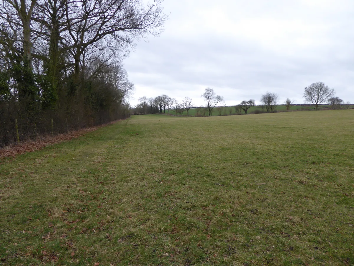 📷 5
📷 5Wildlife reserves · South East England
Boddington Meadow
Boddington Meadow — nature reserve in the United Kingdom.
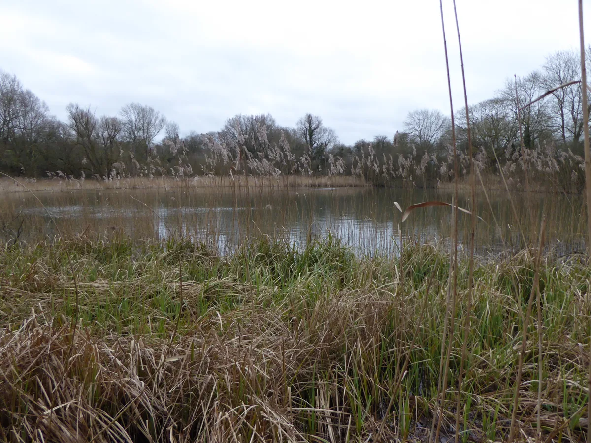 📷 3
📷 3Wildlife reserves · South East England
Byfield Pool
Byfield Pool — nature reserve in the United Kingdom.
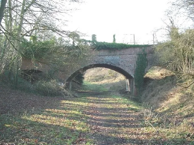 📷 5
📷 5Wildlife reserves · South East England
Farthinghoe Nature Reserve
Farthinghoe Nature Reserve — nature reserve in the United Kingdom.
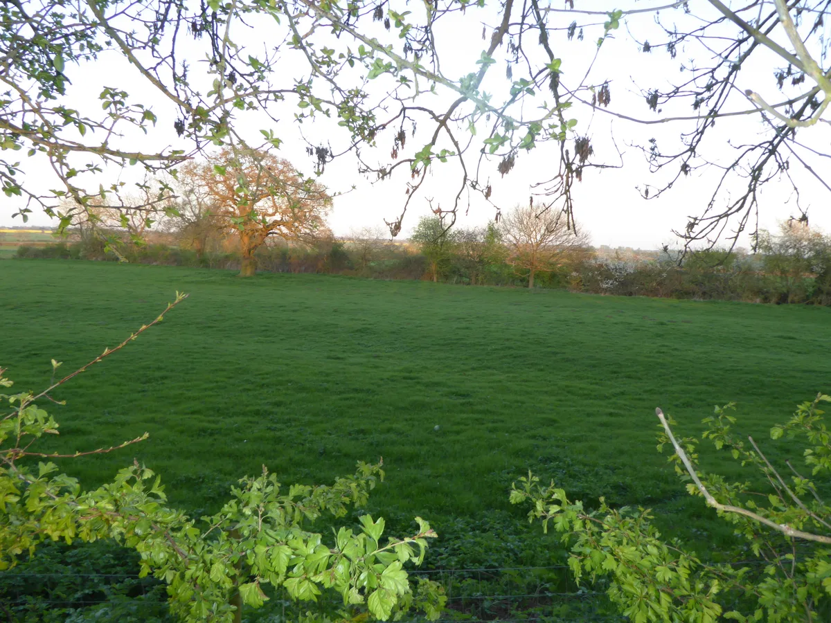 📷 3
📷 3Wildlife reserves · South East England
Grafton Regis Meadow
Grafton Regis Meadow — nature reserve in the United Kingdom.
More places in this region
 📷 5
📷 5 📷 5
📷 5Wildlife reserves · South East England
Burham Down
Burham Down — nature reserve in Kent, England, UK.
 📷 5
📷 5Wildlife reserves · South East England
Combe Bottom
Combe Bottom — nature reserve in Surrey, England.
 📷 5
📷 5Wildlife reserves · South East England
Dryhill Nature Reserve
Dryhill Nature Reserve is a wildlife reserve in the United Kingdom.
Frequently asked questions
- Where is Kings and Bakers Woods and Heaths?
- Kings and Bakers Woods and Heaths is in South-East England, United Kingdom (postcode LU7 0FR), in the parish of Heath and Reach.
- What is Kings and Bakers Woods and Heaths?
- Kings and Bakers Woods and Heaths — nature reserve in the United Kingdom.
- How do I get to Kings and Bakers Woods and Heaths?
- The nearest railway station is Stonehenge Works, about 2.9 km away. The nearest town is Great Brickhill. Drivers can use postcode LU7 0FR.
- Who runs Kings and Bakers Woods and Heaths?
- Kings and Bakers Woods and Heaths is operated by Wildlife Trust for Bedfordshire, Cambridgeshire and Northamptonshire.
- Is Kings and Bakers Woods and Heaths a listed building?
- Kings and Bakers Woods and Heaths is officially recognised as Site of Special Scientific Interest listed.
- Is Kings and Bakers Woods and Heaths a protected site?
- Yes — Kings and Bakers Woods and Heaths is part of the Kings and Bakers Woods and Heaths SSSI Site of Special Scientific Interest and the KING'S WOOD AND RUSHMERE National Nature Reserve.
- Is Kings and Bakers Woods and Heaths free to visit?
- Yes, Kings and Bakers Woods and Heaths is free to enter.
- How do I get to Kings and Bakers Woods and Heaths?
- The nearest railway station is Stonehenge Works, about 2.9 km away. Drivers can navigate to postcode LU7 0FR.