
Towns & cities · East Midlands
King Sterndale
King Sterndale — village and civil parish in High Peak, Derbyshire, UK.

Wikimedia Commons contributors — see linked file page for photographer and licence licence

Plan your visit
- Typical visit
- 3 h–6 h
- Nearest railway station
- Buxton · 4.0 km
- Free entry
- Family-friendly
- Dog-friendly
About
King Sterndale is a town, city, village or settlement in the United Kingdom. Recent population estimates put it at around 129 people. Address: SK17. Wikidata describes it as: "village and civil parish in High Peak, Derbyshire, UK". Coordinates: 53.2460°, -1.8590°.
Photo gallery
Protected designations
- Site of Special Scientific Interest: The Wye Valley SSSI
- Site of Special Scientific Interest: Topley Pike & Deep Dale SSSI
Designations sourced from Natural England open data under OGL v3.
From the Wikipedia article
King Sterndale is a village and civil parish in Derbyshire, England. It is located in the Peak District, 4 miles east of Buxton. It has a population of about 30, increasing to 133 at the 2011 Census. The two hamlets of Cowdale and Staden also lie within the parish.
Excerpt from Wikipedia under CC BY-SA 4.0. See the source article linked in Sources below.
Background
History
The village has a butter cross which was restored in 1937. Unusually, vehicular access to the village is only available from one direction, via a road/piece of land that is twenty metres wide. This land was created as a result of an enclosure in 1773. The route of the road changed slightly as a result of the church's construction in 1847. Deep Dale is a steep gorge to the south east of King Sterndale. It has a protected nature reserve and is a Site of Special Scientific Interest (SSSI). In the late 19th century a bear's skull and many Roman artefacts were discovered in Thirst House Cave in Deep Dale. Topley Pike Quarry is a large limestone quarry 200m east of the village. It was opened in…
Sourced from Wikipedia under CC BY-SA 4.0.
- Coordinates
- 53.2460, -1.8590
- County
- Derbyshire
- District
- High Peak
- Parish
- King Sterndale
- Postcode
- SK17
- Parliamentary constituency
- High Peak
- Population
- 129
- Nearest railway station
- Buxton — 4 km
Sources
- wikidata: Q1853519 (CC0)
- wikipedia: King Sterndale (CC BY-SA 4.0)
- commons: King Sterndale - geograph.org.uk - 88952.jpg (CC BY-SA 4.0)
Other places nearby

Cross
Memorials & monuments · 0.2 km

Deep dale
Gorges · 1.0 km
Cowlow Hill
Mountains & hills · 1.2 km

Burrs Manor Campsite
Campsites · 1.5 km

Blackwell Mill
Mills · 1.8 km

Shallow Grange
Campsites · 2.1 km

Archie’s Farm
Zoos & aquariums · 2.1 km

Farditch Farm
Caravan parks · 2.3 km

Lime Tree Park
Campsites · 2.4 km

Chelmorton Low
Mountains & hills · 2.4 km
Chelmorton Low
Mountains & hills · 2.4 km

Calton Hill
Mountains & hills · 2.5 km
King Sterndale is a charming town located in Derbyshire, within the East Midlands region. Visitors can explore the historic Cross memorial or enjoy the scenic views from High Wheeldon mountain. The area also offers outdoor relaxation with stays at Burrs Manor Campsite, Shallow Grange, and Farditch Farm.
At a glance
- Population
- 129
- Administrative county
- Derbyshire
- Constituency
- High Peak
- Top categories near here
Things to see in King Sterndale
12 attractions within 12 km. Full guide: things to do in King Sterndale →
📷 3📷 5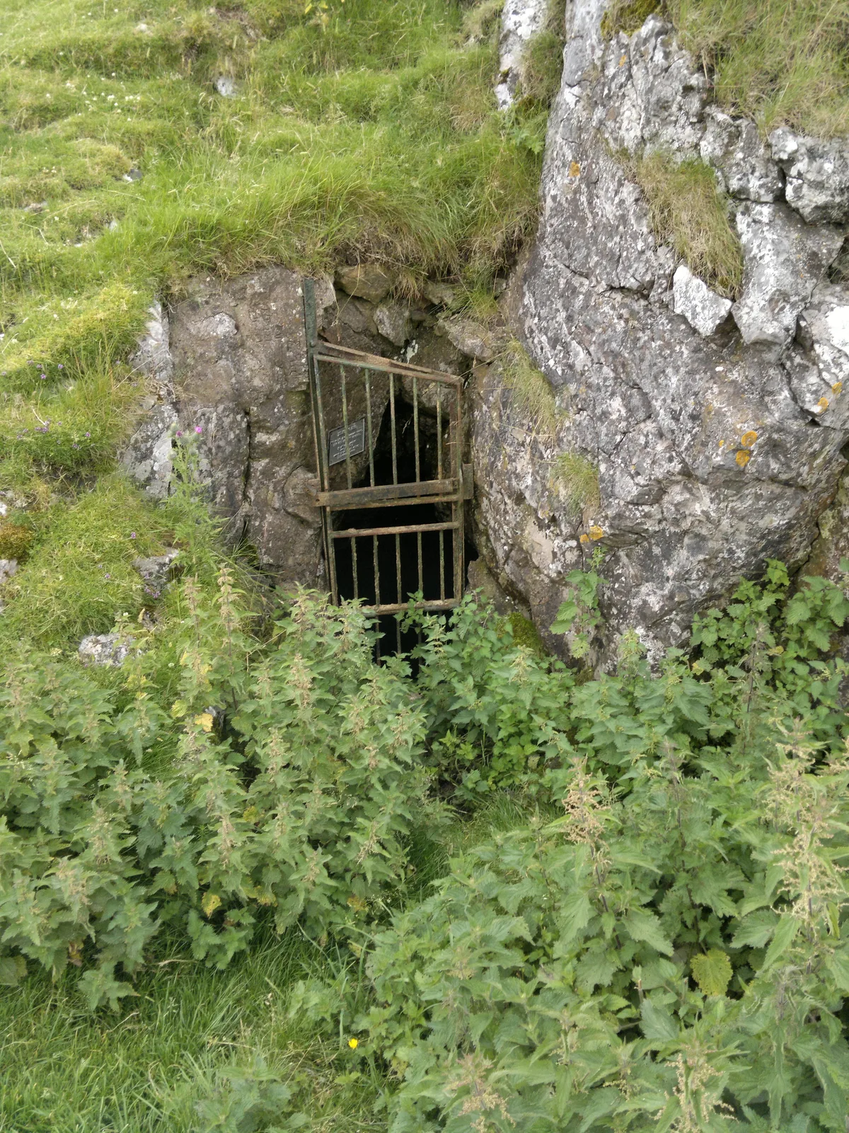 📷 3
📷 3Mountains & hills · East Midlands
Fox Hole Cave
Fox Hole Cave — cave in Hartington Middle Quarter, Derbyshire, England, UK.
 📷 3📷 5
Campsites · East Midlands
Burrs Manor Campsite
Burrs Manor Campsite — a campsite in england east midlands.
📷 5📷 5 📷 5📷 5
Mountains & hills · East Midlands
Chelmorton Low
Chelmorton Low — a hill or mountain in england east midlands.
📷 5📷 5Mountains & hills · East Midlands
Chelmorton Low
Chelmorton Low — mountain in england east midlands. Elevation: 446 m.
 📷 5
📷 5Mountains & hills · East Midlands
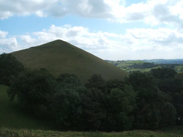
High Wheeldon
High Wheeldon — mountain in england east midlands. Elevation: 422 m.
Nearby
📷 5📷 5📷 5Campsites · East Midlands
Burrs Manor Campsite
Burrs Manor Campsite — a campsite in england east midlands.
📷 3📷 5Where to eat & stay near King Sterndale
Places to stay
📷 5Campsites · East Midlands
Burrs Manor Campsite
Burrs Manor Campsite — a campsite in england east midlands.
📷 5📷 5📷 5 📷 5
📷 5Caravan parks · East Midlands
Clover Fields Touring Caravan Park
Clover Fields Touring Caravan Park — a caravan park in england east midlands.
📷 5Caravan parks · East Midlands
Lime Tree Park
Lime Tree Park — a caravan park in england east midlands.
Places to eat & drink
 📷 7
📷 7Historic pubs · East Midlands
The Three Stags' Heads
The Three Stags' Heads in England South East, United Kingdom.
 📷 5
📷 5Historic pubs · East Midlands
Cat and Fiddle Inn
Cat and Fiddle Inn in England South East, United Kingdom.
 📷 3
📷 3Historic pubs · East Midlands
Bull's Head Inn
Bull's Head Inn — Historic pub — listed building or notable heritage status.
 📷 5
📷 5 📷 5
📷 5Historic pubs · East Midlands
The Peacock
The Peacock in England East Midlands, United Kingdom.
 📷 5
📷 5Historic pubs · East Midlands
The Eyre Arms Public House
The Eyre Arms Public House in England East Midlands, United Kingdom.
More towns in this region
 📷 5
📷 5 📷 5
📷 5Towns & cities · East Midlands
Marholm
Marholm — village and civil parish in Cambridgeshire, UK.
 📷 5
📷 5Towns & cities · East Midlands
Thornhaugh
Thornhaugh — village and civil parish in Cambridgeshire, UK.
 Flagship📷 4
Towns & cities · East Midlands
Austerfield
Austerfield — village and civil parish in South Yorkshire, England, UK.
Frequently asked questions
- Where is King Sterndale?
- King Sterndale is in Derbyshire, the East Midlands, United Kingdom (postcode SK17), in the parish of King Sterndale.
- What is King Sterndale?
- King Sterndale — village and civil parish in High Peak, Derbyshire, UK.
- How do I get to King Sterndale?
- The nearest railway station is Buxton, about 4.0 km away. Drivers can use postcode SK17.
- Is King Sterndale a protected site?
- Yes — King Sterndale is part of the The Wye Valley SSSI Site of Special Scientific Interest and the Topley Pike & Deep Dale SSSI Site of Special Scientific Interest.
- Is King Sterndale free to visit?
- Yes, King Sterndale is free to enter.
- How do I get to King Sterndale?
- The nearest railway station is Buxton, about 4.0 km away. Drivers can navigate to postcode SK17.