
Reservoirs & lochs · Central Scotland
Kilconquhar
Also known as: Cill Dúnchad
In or near Elie and Earlsferry.
Kilconquhar in Scotland Islands, United Kingdom.

James Allan — CC BY-SA 2.0 via Wikimedia Commons licence

Plan your visit
- Typical visit
- 1 h–2.5 h
- Free entry
- Dog-friendly
About
Kilconquhar is a place of interest in Scotland Islands, United Kingdom — drawn from open-data sources for visitor reference. See the linked Wikipedia article for the full description.
Photo gallery
From the Wikipedia article
Kilconquhar ( , locally also kih-NYUKH-ər) is a village and parish in Fife in Scotland. It includes the small hamlet of Barnyards. It is bounded by the parishes of Elie, Ceres, Cameron, St Monans, Carnbee, Newburn and Largo. It is approximately 9 miles from north to south. Much of the land is agricultural or wooded. The village itself is situated inland, north of Kilconquhar Loch. Also in the civil parish are Colinsburgh and Largoward, the latter since 1860 being a separate ecclesiastical parish. The coastal village and royal burgh of Earlsferry was formerly in the parish, but in 1891 the burgh and that part of the parish south of the (now disused) Fife Coast Railway line and Cocklemill Burn was transferred to the parish of Elie.
Excerpt from Wikipedia under CC BY-SA 4.0. See the source article linked in Sources below.
Background
History
The name, first recorded in the 12th century as Kilconcat, comes from the Gaelic cill Dhúnchadha, meaning "church of (Saint) Dúnchad". The reference may be to Dúnchad mac Cinn Fáelad, an 8th-century abbot of Iona. Alternatively, the second element may be Chonchaidh, referring to an otherwise unknown saint by the name Conchad. There was another castle in the parish called Rires or Reres, belonging to the Forbes family. Margaret Beaton, Lady Reres, was a companion of Mary, Queen of Scots, and her husband Arthur Forbes was involved in the assassination of John Wood. The ruins of the castle were demolished and cleared away in the 19th century. In the 18th century the village was noted as a…
Sourced from Wikipedia under CC BY-SA 4.0.
- Coordinates
- 56.2000, -2.8167
- District
- Fife
- Postcode
- KY9 1ER
- Parliamentary constituency
- North East Fife
Sources
- wikidata: Q3815177 (CC0)
- wikipedia: Kilconquhar (CC BY-SA 4.0)
Other places nearby

Elie House
Historic houses · 0.4 km

Ruins of ice house
Historic houses · 0.5 km

Monument, Elie House
Memorials & monuments · 0.7 km

Elie Primary School, Park Place, Elie
Parks · 0.9 km
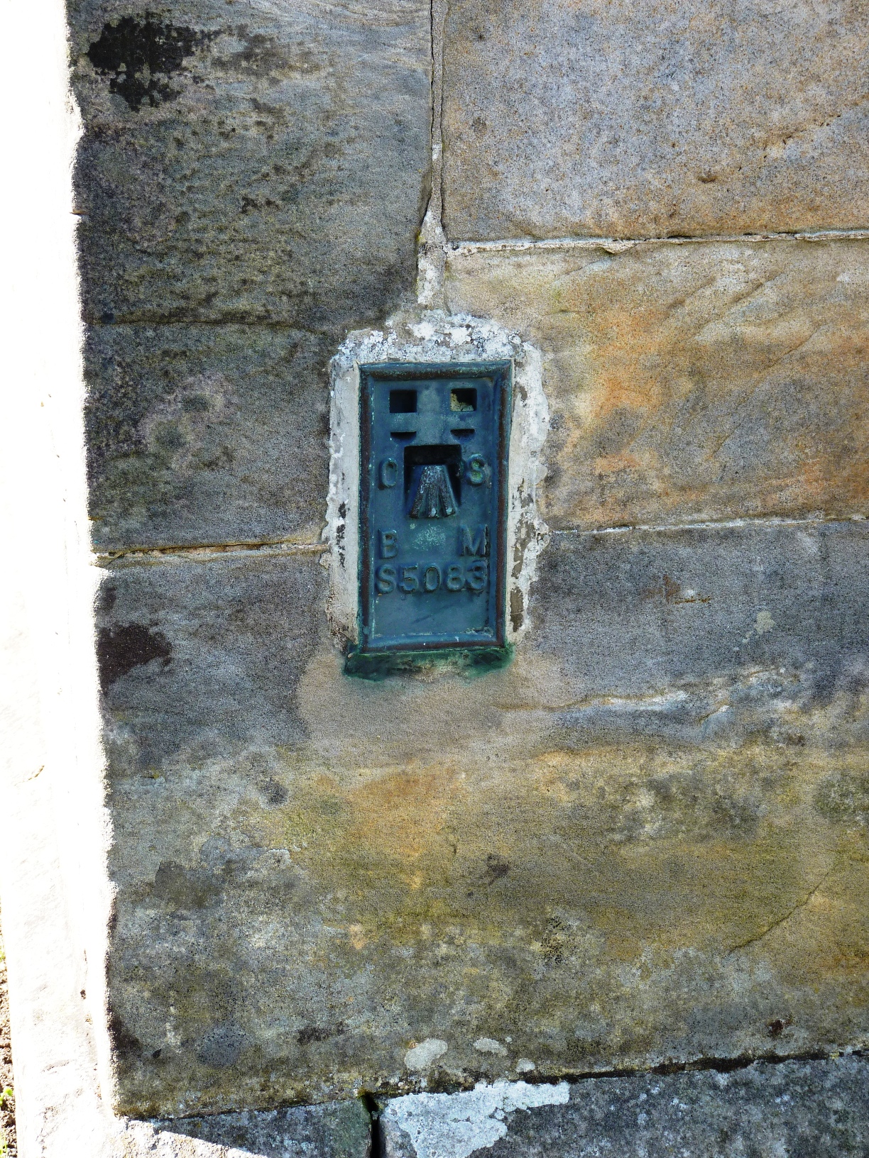
Elie
Villages · 0.9 km
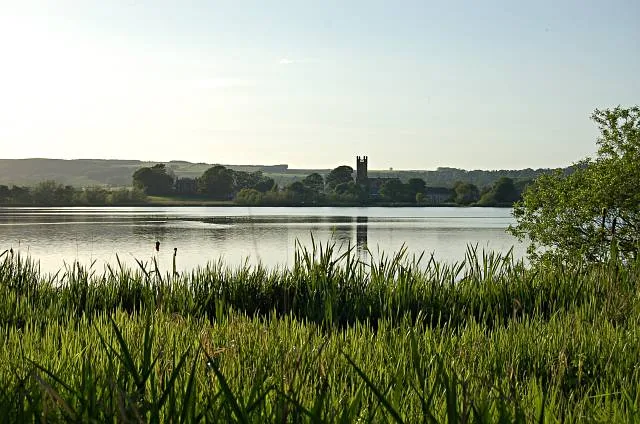
Kilconquhar Loch
Natural landmarks · 0.9 km

39 Park Place, Elie
Historic houses · 1.0 km

37 Park Place, Elie
Historic houses · 1.0 km

Baldionie, 10 Park Place, Elie
Historic houses · 1.0 km

35 Park Place, Elie
Historic houses · 1.0 km

Elie railway station
Heritage railway stations · 1.0 km

33 Park Place, Elie
Historic houses · 1.0 km
Nearby
📷 3📷 3Historic houses · Central Scotland
Ruins of ice house
Ruins of ice house — a historic house in scotland-central, United Kingdom.
📷 5Memorials & monuments · Central Scotland
Monument, Elie House
Monument, Elie House — category B listed building-listed memorial in scotland-central, United Kingdom.
📷 4Parks · Central Scotland
Elie Primary School, Park Place, Elie
Elie Primary School, Park Place, Elie in Scotland Islands, United Kingdom.
📷 5📷 3Natural landmarks · Central Scotland
Kilconquhar Loch
Kilconquhar Loch — lake in Fife, Scotland, UK.
Where to eat & stay near Kilconquhar
Places to stay
 📷 5
📷 5Caravan parks · Central Scotland
Elie Holiday Park
Elie Holiday Park — a caravan park in scotland central.
 📷 5
📷 5Caravan parks · Central Scotland
St Monans Holiday Park
St Monans Holiday Park — a caravan park in scotland central.
 📷 5
📷 5Campsites · Central Scotland
Forth House
Forth House — a campsite in scotland central.
 📷 5
📷 5Caravan parks · Central Scotland
Monturpie Caravan Park
Monturpie Caravan Park — a caravan park in scotland central.
 📷 5
📷 5Hostels · Central Scotland
Murray Library Hostel
Murray Library Hostel — a hostel in scotland central.
 📷 5
📷 5Caravan parks · Central Scotland
Largo House Caravan Park
Largo House Caravan Park — a caravan park in scotland central.
Places to eat & drink
 📷 7
📷 7Historic pubs · Central Scotland
Balcarres Arms Hotel, 59 Main Street, Colinsburgh
Balcarres Arms Hotel, 59 Main Street, Colinsburgh in Scotland Central, United Kingdom.
 📷 7
📷 7Historic pubs · Central Scotland
Railway Tavern, 14, 16 High Street West, Anstruther Wester
Railway Tavern, 14, 16 High Street West, Anstruther Wester in Scotland Central, United Kingdom.
 📷 7
📷 7Historic pubs · Central Scotland
12 Shore Street, Anstruther Easter
12 Shore Street, Anstruther Easter in Scotland Central, United Kingdom.
 📷 7
📷 7 📷 6
📷 6 📷 7
📷 7Historic pubs · Central Scotland
Belvedere Hotel, West Wemyss
Belvedere Hotel, West Wemyss in Scotland Central, United Kingdom.
More places in this region
 📷 5
📷 5 📷 3
📷 3Reservoirs & lochs · Central Scotland
Allt na Lairige Reservoir
Allt na Lairige Reservoir — 1956 artificial lake in Argyll and Bute, Scotland, UK, on and outflowing west to Allt na Lairige.
.jpg?width=1200) 📷 3
📷 3Reservoirs & lochs · Central Scotland
Ardlussa Fishing Loch
Ardlussa Fishing Loch — 1900 artificial lake on Jura, Argyll and Bute, Scotland, UK, on the Lussa River.
 📷 3
📷 3Reservoirs & lochs · Central Scotland
Asgog Loch
Asgog Loch — lake dammed as a reservoir in Argyll and Bute, Scotland, UK, outflows east via a watercourse to Allt Osda.
Frequently asked questions
- Where is Kilconquhar?
- Kilconquhar is in central Scotland, United Kingdom (postcode KY9 1ER).
- What is Kilconquhar?
- Kilconquhar in Scotland Islands, United Kingdom.
- How do I get to Kilconquhar?
- The nearest town is Elie and Earlsferry. Drivers can use postcode KY9 1ER.
- Is Kilconquhar free to visit?
- Yes, Kilconquhar is free to enter.
- How do I get to Kilconquhar?
- Drivers can navigate to postcode KY9 1ER. It sits within the North East Fife parliamentary constituency.