
Historic churches · Scottish Islands
Kilbride Point,church,burial ground and post medieval settlement
In or near Uig.
Kilbride Point,church,burial ground and post medieval settlement — scheduled monument-listed church in scotland-highlands, United Kingdom.

Dave Fergusson — CC BY-SA 2.0 via Wikimedia Commons licence

Plan your visit
- Typical visit
- 30 min–1 h
- Free entry
About
Kilbride Point,church,burial ground and post medieval settlement is a scheduled monument-listed church in scotland-highlands, United Kingdom, registered on the Historic Environment Scotland register (entry SM5415). Listed status protects buildings and structures of special architectural or historic interest. See the linked Wikipedia article for further details.
Photo gallery
Heritage listing
Date Added 09/10/1992 Supplementary Information Updated 11/11/2019 Type Ecclesiastical: burial ground, cemetery, graveyard; church, Secular: settlement, including deserted and depopulated and townships Local Authority Highland Planning Authority Highland Parish Kilmuir NGR NG 37360 66056 Coordinates 137360, 866056 — The monument is situated on a coastal promontory. It consists of the remains of a late medieval church which has been partly overbuilt by a dwelling house, also ruined. Also included is an oval enclosure immediately to the N of the church, which is probably the burial ground. The church is rectangular-plan, orientated and measures 12.6m by 6.1m over walls 1.2m thick and about 0.9m high. The masonry is a mixture of rubble and worked local stone with coarse shell-lime mortar. Stretches of inner and outer wall face survive, suggesting the building had square corners and well defined faces. There is a square pillar of dressed stone in the church interior. The burial ground to the N, defined by a line of boulders, measures 21m E-W by 12m N-S. Subsequent to the abandonment of the church the promontory has supported a small settlement consisting of four buildings: two lie to the NE and two are located to the S (one of which is in use as a boat naust). The area to be scheduled is rectangular, measuring a maximum of 70m E-W by 50m N-S to include the church, burial ground and settlement, as shown in red on the accompanying map.
From Historic Environment Scotland under OGL v3.
Place summary
Kilbride Point is a church, burial ground, and post-medieval settlement located in the Scottish Highlands, postcode IV51. It is designated as a scheduled monument, highlighting its historical significance in the region.
AI-generated from the structured facts on this page (operator, designation, listing, era). Not a substitute for visiting.
- Coordinates
- 57.6078, -6.3987
- District
- Highland
- Postcode
- IV51 9YW
- Parliamentary constituency
- Inverness, Skye and West Ross-shire
Sources
- wikidata: Q56664028 (CC0)
Other places nearby

Idrigil
Villages · 1.3 km

Dùn Skudiburgh
Forts · 1.3 km

Skye, Dun Skudiburgh
Vineyards · 1.3 km
Dun Skudiburgh
Mountains & hills · 1.4 km

Monkstadt House
Manor houses · 1.5 km

Monkstadt House, Skye
Historic houses · 1.5 km

Creag Liath
Mountains & hills · 1.6 km

Reieval
Mountains & hills · 2.3 km
Reieval
Mountains & hills · 2.3 km

Idrigill
Islands · 2.3 km

Uig Bay Campsite
Campsites · 2.6 km
Skudiburgh
Villages · 2.7 km
Nearby
📷 5📷 3📷 5Vineyards · Scottish Islands
Skye, Dun Skudiburgh
Skye, Dun Skudiburgh — a UK vineyard in scotland highlands, producing English or Welsh wine from cool-climate grape varieties.
📷 5Mountains & hills · Scottish Islands
Dun Skudiburgh
Dun Skudiburgh — a hill or mountain in scotland highlands.
📷 3Manor houses · Scottish Islands
Monkstadt House
Monkstadt House — a manor in scotland-highlands, United Kingdom.
📷 3Historic houses · Scottish Islands
Monkstadt House, Skye
Monkstadt House, Skye — architectural structure in Highland, Scotland, UK.
Where to eat & stay near Kilbride Point,church,burial ground and post medieval settlement
Places to stay
📷 5Campsites · Scottish Islands
Uig Bay Campsite
Uig Bay Campsite — a campsite in scotland highlands.
 📷 7
📷 7Hotels · Scottish Islands
Uig Hotel
Uig Hotel — a hotel in scotland highlands.
 📷 5
📷 5Campsites · Scottish Islands
Camus More Camping
Camus More Camping — a campsite in scotland highlands.
 📷 5
📷 5Campsites · Scottish Highlands
Staffin Campsite
Staffin Campsite — a campsite in scotland highlands.
 📷 5
📷 5Hotels · Scottish Islands
Greshornish House
Greshornish House — a hotel in scotland highlands.
 📷 5
📷 5Caravan parks · Scottish Islands
Sky Camping CC
Sky Camping CC — a caravan park in scotland highlands.
More places in this region
 📷 3
📷 3Historic churches · Scottish Islands
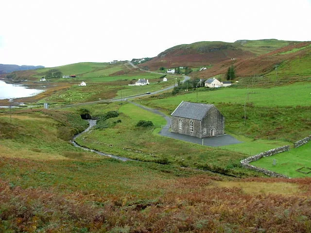
Bracadale Free Presbyterian Church
Bracadale Free Presbyterian Church — church in Highland, Scotland, UK.
 📷 3
📷 3Historic churches · Scottish Islands
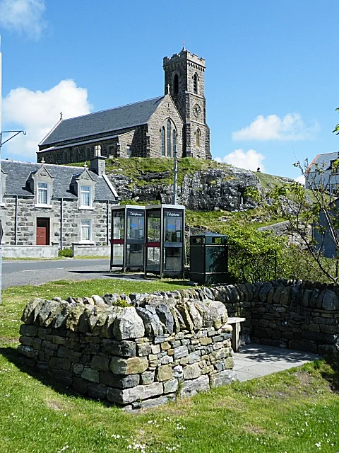
Church of our Lady, Star of the Sea, Barra
Church of our Lady, Star of the Sea, Barra — church in Castlebay, UK.
 📷 3
📷 3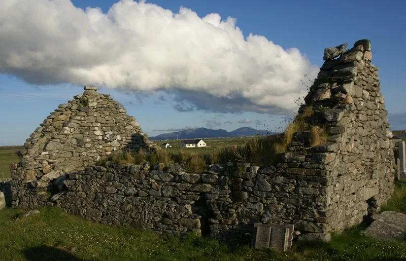 📷 3
📷 3Historic churches · Scottish Islands
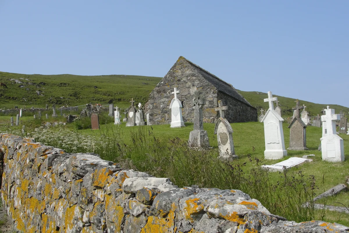
Nunton Church
Nunton Church — church in Nunton, Outer Hebrides, Scotland, UK.
Frequently asked questions
- Where is Kilbride Point,church,burial ground and post medieval settlement?
- Kilbride Point,church,burial ground and post medieval settlement is in the Scottish Highlands, United Kingdom (postcode IV51 9YW).
- What is Kilbride Point,church,burial ground and post medieval settlement?
- Kilbride Point,church,burial ground and post medieval settlement — scheduled monument-listed church in scotland-highlands, United Kingdom.
- How do I get to Kilbride Point,church,burial ground and post medieval settlement?
- Drivers can use postcode IV51 9YW.
- Is Kilbride Point,church,burial ground and post medieval settlement a listed building?
- Kilbride Point,church,burial ground and post medieval settlement is officially recognised as scheduled monument listed.
- Is Kilbride Point,church,burial ground and post medieval settlement free to visit?
- Yes, Kilbride Point,church,burial ground and post medieval settlement is free to enter.
- How do I get to Kilbride Point,church,burial ground and post medieval settlement?
- Drivers can navigate to postcode IV51 9YW. It sits within the Inverness, Skye and West Ross-shire parliamentary constituency.