Parks · North East England
Kenton Bar
In or near Westerhope.
Kenton Bar in England North East, United Kingdom.

David Dixon — CC BY-SA 2.0 via Wikimedia Commons licence
Plan your visit
- Typical visit
- 1 h–2 h
- Nearest railway station
- Kingston Park · 0.9 km
- Free entry
- Family-friendly
- Dog-friendly
Getting there & planning your visit
Kenton Bar is located in Newcastle upon Tyne, with the postcode NE3 3BL. The nearest railway station is Kingston Park, which is 0.9 km away. Entry to the park is free.
About
Kenton Bar is a place of interest in England North East, United Kingdom — drawn from open-data sources for visitor reference. See the linked Wikipedia article for the full description.
Photo gallery
From the Wikipedia article
Kenton Bar is a housing estate, that is part of Kenton Ward in Newcastle upon Tyne, England. It is situated immediately west of North Kenton and to the north of Cragston Park and Cowgate. The estate was designed by the Ryder and Yates architectural practice. All buildings have a distinctive flat roof design. Many have white or cream walls, which in many cases owe their colour to crushed sea-shells attached to the rendering while it was still wet. Construction of the estate began shortly after 1966 and comprises terraced houses, bungalows, and flats. The estate is roughly crescent-shaped and surrounds the western and northern sides of Kenton School's playing fields. Hazeldene Avenue runs around the outer perimeter of the estate and, at both ends, provides the estate's only vehicular access and egress. Ryal Walk, Studdon Walk and Hartburn Walk are the main pedestrian thoroughfares, running along the inner side of the "crescent". The estate was designed in such a way that almost every pair of dwellings on the estate, apart from the single terrace of town-houses on the southern side of Hazeldene Avenue near its junction with Kenton Lane, is linked by a pedestrian route, without the need to cross any road. The Newcastle Western Bypass, part of the A1, runs along the north-western edge of the estate and is separated from Hazeldene Avenue by a fence and earth embankment.
Excerpt from Wikipedia under CC BY-SA 4.0. See the source article linked in Sources below.
Background
History
The estate was constructed between 1966 and 1968. It had one famous landmark called the Kenton Bar Pyramid or, less formally, the "Pyrry", which was located in the estate's shopping centre at Mallowburn Crescent. The pyramid was about 7 metres tall, constructed of reinforced concrete, in classic Egyptian proportions, and faced with ceramic mosaic tiles. Next to the pyramid was a water channel. The water feature was designed to pump water from underneath the pyramid and along the channel, to a waterfall. The council had intended to build a second parade of shops underneath the Reestones Place flats, the two sets of shops being linked by a ramp and a flight of steps either side of the…
Sourced from Wikipedia under CC BY-SA 4.0.
- Coordinates
- 55.0064, -1.6649
- District
- Newcastle upon Tyne
- Parish
- Newcastle upon Tyne, unparished area
- Postcode
- NE3 3BL
- Parliamentary constituency
- Newcastle upon Tyne North
- Nearest railway station
- Kingston Park — 0.9 km
Sources
- wikidata: Q6392073 (CC0)
- wikipedia: Kenton Bar (CC BY-SA 4.0)
Other places nearby

Small step pyramid
Public art & sculpture · 0.1 km

Step Pyramid
Public art & sculpture · 0.2 km
Kenton School
Other places · 0.6 km

Kingston Park
Parks · 0.6 km

RAF Blakelaw
Other places · 0.7 km
North Kenton
Parks · 0.8 km

Kenton
Villages · 0.9 km

Fawdon Factory
Other places · 0.9 km

Bank Foot
Heritage railway stations · 1.2 km
Kenton Bank railway station
Historic houses · 1.3 km

Gurdwara Shaheed Baba Deep Singh Ji
Historic churches · 1.3 km

Blakelaw
Historic houses · 1.4 km
Nearby
📷 3Public art & sculpture · North East England
Small step pyramid
Small step pyramid — a public art in scotland-lowlands, United Kingdom.
📷 5Public art & sculpture · North East England
Step Pyramid
Step Pyramid — a public art in scotland-lowlands, United Kingdom.
📷 4Other places · North East England
Kenton School
Kenton School in England North East, United Kingdom.
📷 5Parks · North East England
Kingston Park
Kingston Park in England North East, United Kingdom.
📷 4📷 3Where to eat & stay near Kenton Bar
Places to stay
 📷 5
📷 5Hostels · North East England
North Eastern YWCA Hostel
North Eastern YWCA Hostel — a hostel in scotland lowlands.
 📷 5
📷 5Hotels · North East England
DoubleTree by Hilton Newcastle International Airport
DoubleTree by Hilton Newcastle International Airport — a hotel in scotland lowlands. 4-star. Brand: DoubleTree.
Hotels · North East England
Maldron Hotel Newcastle
Maldron Hotel Newcastle — a hotel in scotland lowlands. 4-star. Brand: Maldron Hotels.
 📷 5
📷 5 📷 5
📷 5Hostels · North East England
Heroes Bunkz
Heroes Bunkz — a hostel in scotland lowlands.
 📷 5
📷 5Hostels · North East England
Albatross Hostel
Albatross Hostel — a hostel in scotland lowlands.
Places to eat & drink
 📷 3
📷 3Historic pubs · North East England
Red House Farm
Red House Farm in England North East, United Kingdom.
 📷 5
📷 5 📷 5
📷 5Historic pubs · North East England
The Balmoral Public House
The Balmoral Public House in Scotland Lowlands, United Kingdom.
 📷 5
📷 5Historic pubs · North East England
Border Minstrel
Border Minstrel in Scotland Lowlands, United Kingdom.
 📷 5
📷 5Historic pubs · North East England
The Cordwainers' Public House
The Cordwainers' Public House in Scotland Lowlands, United Kingdom.
 📷 5
📷 5Historic pubs · North East England
Theatre Royal Lounge And Restaurant; The Royal Public House
Theatre Royal Lounge And Restaurant; The Royal Public House in Scotland Lowlands, United Kingdom.
More parks in this region
 📷 3
📷 3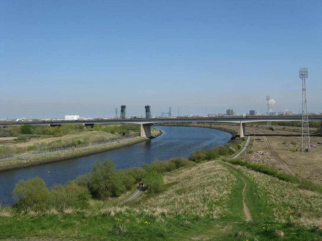 📷 4
📷 4Parks · North East England
Maze Park Nature Reserve
Maze Park Nature Reserve — park in Middlesbrough, United Kingdom.
 📷 3
📷 3Parks · North East England
Portrack Incinerator
Portrack Incinerator — former waste and power plant in England.
 📷 3
📷 3Parks · North East England
Preston Park, Stockton-on-Tees
Preston Park, Stockton-on-Tees — public park in north eastern England.
Frequently asked questions
- Where is Kenton Bar?
- Kenton Bar is in North-East England, United Kingdom (postcode NE3 3BL), in the parish of Newcastle upon Tyne, unparished area.
- What is Kenton Bar?
- Kenton Bar in England North East, United Kingdom.
- How do I get to Kenton Bar?
- The nearest railway station is Kingston Park, about 0.9 km away. Drivers can use postcode NE3 3BL.
- Is Kenton Bar free to visit?
- Yes, Kenton Bar is free to enter.
- How do I get to Kenton Bar?
- The nearest railway station is Kingston Park, about 0.9 km away. Drivers can navigate to postcode NE3 3BL.