
Museums · East Midlands
Kelmarsh
In or near Haselbech.
Kelmarsh is a village and civil parish in West Northamptonshire, England. The population (including Haselbech) of the civil parish at the 2011 Census was 208. The village is on the A508, close to its

Philip Halling — CC BY-SA 2.0 via Wikimedia Commons licence

Plan your visit
- Typical visit
- 1.5 h–3 h
- Best time of year
- Year-round
- Nearest railway station
- Market Harborough · 7.9 km
- Family-friendly
- Limited wheelchair access
Getting there & planning your visit
To visit Kelmarsh, the nearest railway station is Market Harborough, located 7.9 km away. The postcode for sat-nav is NN6 9LY. Accessibility is limited for wheelchair users.
About
Kelmarsh is a village and civil parish in West Northamptonshire, England. The population (including Haselbech) of the civil parish at the 2011 Census was 208. The village is on the A508, close to its junction with the A14 about 5 miles (8 km) south of Market Harborough and 11 miles (18 km) north of Northampton. The village's name probably means, 'marsh marked out by poles or posts'. The place-name is identical to Chelmarsh, Shropshire; the initial K- reflects Old Norse influence.
Photo gallery
Official information
Kelmarsh Hall is an elegant country house located in Northamptonshire, surrounded by award-winning historic gardens. Visitors can explore the charming gardens, which feature a unique walled garden and a vibrant dahlia collection.
From the Wikipedia article
Kelmarsh is a village and civil parish in West Northamptonshire, England. The population (including Haselbech) of the civil parish at the 2011 Census was 208. The village is on the A508, close to its junction with the A14 about 5 miles (8 km) south of Market Harborough and 11 miles (18 km) north of Northampton. The village's name probably means, 'marsh marked out by poles or posts'. The place-name is identical to Chelmarsh, Shropshire; the initial K- reflects Old Norse influence.
Excerpt from Wikipedia under CC BY-SA 4.0. See the source article linked in Sources below.
Background
Architecture
Kelmarsh Hall is its principal building. Kelmarsh Tunnel is a former railway tunnel at Kelmarsh now open as part of the Brampton Valley Way. Between 1859 and 1960 the village was served by Kelmarsh railway station about 2 mi north-east of the village running trains south to Northampton and north to Market Harborough.
Sourced from Wikipedia under CC BY-SA 4.0.
- Coordinates
- 52.4094, -0.9166
- District
- West Northamptonshire
- Parish
- Kelmarsh
- Postcode
- NN6 9LY
- Parliamentary constituency
- Daventry
- Nearest railway station
- Market Harborough — 7.9 km
- Official site
- kelmarsh.com
Sources
- wikipedia: Kelmarsh (CC BY-SA 4.0)
Other places nearby
Kelmarsh Hall
Historic houses · 0.2 km
Arthingworth Manor
Stately homes · 2.7 km

Maidwell
Villages · 2.7 km
Church of St Mary the Virgin
Abbeys & priories · 2.9 km

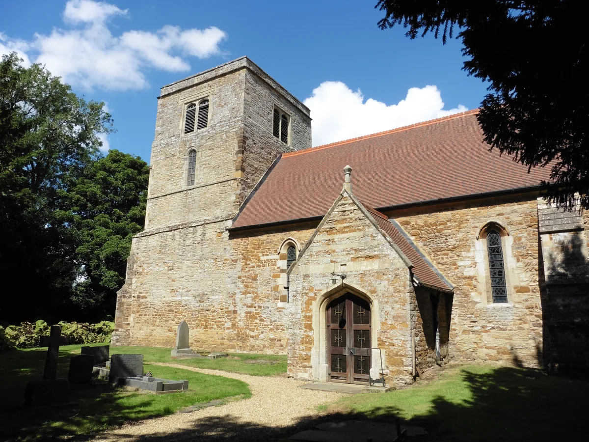
Church of St Mary the Virgin
Cathedrals · 2.9 km
Maidwell Hall School
Gardens · 3.0 km

Harrington Aviation Museum
Museums · 3.1 km

Haselbech
Towns & cities · 3.2 km

Clipston
Villages · 3.3 km

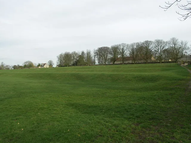
Site of Manor House (Earthworks)
Manor houses · 3.4 km

Harrington
Villages · 3.5 km

Medieval settlement at Haselbech
Vineyards · 3.6 km
Nearby
📷 3Historic houses · East Midlands
Kelmarsh Hall
Kelmarsh Hall — a other in england-west-midlands, United Kingdom.
📷 3Stately homes · East Midlands
Arthingworth Manor
Arthingworth Manor — manor house in Arthingworth, Daventry, Northamptonshire, England, UK.
📷 5★ Iconic📷 3Abbeys & priories · East Midlands
Church of St Mary the Virgin
Church of St Mary the Virgin — church in Maidwell, Northamptonshire, England, UK.
📷 4Cathedrals · East Midlands
Church of St Mary the Virgin
Church of St Mary the Virgin is a cathedral in the United Kingdom.
📷 4Gardens · East Midlands
Maidwell Hall School
Maidwell Hall School — a garden in england-west-midlands, United Kingdom.
Where to eat & stay near Kelmarsh
Places to stay
 📷 5
📷 5Campsites · East Midlands
Country Bumpkin Yurts
Country Bumpkin Yurts — a campsite in england west midlands.
 📷 5
📷 5 📷 5
📷 5 📷 5
📷 5 📷 5
📷 5Campsites · East Midlands
Brook Meadow
Brook Meadow — a campsite in england west midlands.
 📷 5
📷 5Places to eat & drink
 📷 5
📷 5Historic pubs · East Midlands
The Three Swans Hotel
The Three Swans Hotel in England East Midlands, United Kingdom.
 📷 5
📷 5Historic pubs · East Midlands
Rowell Charter Inn
Rowell Charter Inn in England East Midlands, United Kingdom.
 📷 5
📷 5Historic pubs · East Midlands
Rothwell House Hotel
Rothwell House Hotel in England East Midlands, United Kingdom.
 📷 5
📷 5Historic pubs · East Midlands
The Shoulder Of Mutton Public House
The Shoulder Of Mutton Public House in England East Midlands, United Kingdom.
 📷 5
📷 5Historic pubs · East Midlands
Thornhill Arms Public House
Thornhill Arms Public House in England East Midlands, United Kingdom.
 📷 5
📷 5Historic pubs · East Midlands
Fox Inn Public House
Fox Inn Public House in England East Midlands, United Kingdom.
More museums in this region
 📷 5
📷 5Museums · East Midlands
Stamford Town Hall
Stamford Town Hall — building in Stamford, Lincolnshire, England, UK.
 📷 5
📷 5Museums · East Midlands
Thorney Museum
Thorney Museum — a museum in england-london, United Kingdom.
 📷 5
📷 5Museums · East Midlands
Octavia Hill Birthplace Museum
Octavia Hill Birthplace Museum — a museum in england-london, United Kingdom.
 📷 5
📷 5Museums · East Midlands
Museum of Technology
Museum of Technology — a museum in england-london, United Kingdom.
Frequently asked questions
- Where is Kelmarsh?
- Kelmarsh is in the West Midlands, United Kingdom (postcode NN6 9LY), in the parish of Kelmarsh.
- What is Kelmarsh?
- Kelmarsh is a village and civil parish in West Northamptonshire, England. The population (including Haselbech) of the civil parish at the 2011 Census was 208. The village is on the A508, close to its
- How do I get to Kelmarsh?
- The nearest railway station is Market Harborough, about 7.9 km away. Drivers can use postcode NN6 9LY.
- How do I get to Kelmarsh?
- The nearest railway station is Market Harborough, about 7.9 km away. Drivers can navigate to postcode NN6 9LY.