
Historic churches · Yorkshire & the Humber
Keelby
In or near Laceby.
Keelby is a village and civil parish in the West Lindsey district of Lincolnshire, England, on the A18, 6 miles (10 km) west from the seaport of Grimsby and 4 miles (6 km) east from the local Humbersi

Ian S — CC BY-SA 2.0 via Wikimedia Commons licence

Plan your visit
- Typical visit
- 30 min–1 h
- Nearest railway station
- Habrough · 4.1 km
- Free entry
Getting there & planning your visit
To visit Keelby church, the nearest railway station is Habrough, located 4.1 km away. The postcode for your sat-nav is DN41 8EN, and entry to the church is free.
About
Keelby is a village and civil parish in the West Lindsey district of Lincolnshire, England, on the A18, 6 miles (10 km) west from the seaport of Grimsby and 4 miles (6 km) east from the local Humberside Airport, with close access to the A180 to the north, and M180 to the west. In the 2001 Census it had a population of 2,172, comprising 48.6% males, and 51.4% females. The population at the 2021 census (including Brocklesby) was 2,226, comprising 47.4% males, and 52.6% females. Keelby is listed in the Domesday Book as "Chelebi" or "Chilebi". A place name ending in "-by" generally indicates that the town or village was a primary Viking settlement. Keelby has a tennis court, bowling green, park, primary school, guest house and a war memorial, a Mace and a Spar store, and two public houses, the King's Head and the Nag's Head. Religious sites are the Church of England St Bartholomew's Church and a Methodist chapel. Keelby once had a village pond situated at the junction of Pelham Crescent and Mill Lane, however this was filled in during the 1950s. There is a football club with adult and junior teams. The village cricket club, reformed in 1975 after a 10-year break, plays in the Lincolnshire League, the Grimsby Midweek League and the East Lindsey Sunday League. Matches were played on the village green until 2009 before moving to a new multi-purpose sports complex on the edge of the village in 2010. Keelby is within the catchment area of three secondary schools, Healing Comprehensiv
Photo gallery
See it from the streetimagery from 2018
Imagery © Mapillary contributors, CC BY-SA 4.0
Protected designations
- Site of Special Scientific Interest: Humber Estuary - 2000480 SSSI
- Ramsar wetland: Humber Estuary
Designations sourced from Natural England open data under OGL v3.
From the Wikipedia article
Keelby is a village and civil parish in the West Lindsey district of Lincolnshire, England, on the A18, 6 miles (10 km) west from the seaport of Grimsby and 4 miles (6 km) east from the local Humberside Airport, with close access to the A180 to the north, and M180 to the west. In the 2001 Census it had a population of 2,172, comprising 48.6% males, and 51.4% females. The population at the 2021 census (including Brocklesby) was 2,226, comprising 47.4% males, and 52.6% females. Keelby is listed in the Domesday Book as "Chelebi" or "Chilebi". A place name ending in "-by" generally indicates that the town or village was a primary Viking settlement. Keelby has a tennis court, bowling green, park, primary school, guest house and a war memorial, a Mace and a Spar store, and two public houses, the King's Head and the Nag's Head. Religious sites are the Church of England St Bartholomew's Church and a Methodist chapel. Keelby once had a village pond situated at the junction of Pelham Crescent and Mill Lane, however this was filled in during the 1950s. There is a football club with adult and junior teams. The village cricket club, reformed in 1975 after a 10-year break, plays in the Lincolnshire League, the Grimsby Midweek League and the East Lindsey Sunday League. Matches were played on the village green until 2009 before moving to a new multi-purpose sports complex on the edge of the village in 2010. Keelby is within the catchment area of three secondary schools, Healing Comprehensive, Caistor Yarborough, and Caistor Grammar School. The village was struck by an F1/T2 tornado on 23 November 1981, as part of the record-breaking nationwide tornado outbreak on that day. Keelby has been twinned with Maisdon-sur-Sèvre, a village in western France, since 1990. There is a street in the French village named after Keelby, Allée de Keelby.
Excerpt from Wikipedia under CC BY-SA 4.0. See the source article linked in Sources below.
- Coordinates
- 53.5711, -0.2478
- County
- Lincolnshire
- District
- West Lindsey
- Parish
- Keelby
- Postcode
- DN41 8EN
- Parliamentary constituency
- Gainsborough
- Nearest railway station
- Habrough — 4.1 km
Sources
- wikipedia: Keelby (CC BY-SA 4.0)
Other places nearby

Cross in St Bartholomew's churchyard
Historic churches · 0.4 km
Church of Saint Bartholomew
Historic churches · 0.4 km

Keelby
Villages · 0.5 km

South Killingholme
Villages · 1.1 km

Cotham Priory
Abbeys & priories · 1.6 km

Brocklesby
Historic churches · 2.4 km

Arabella Aufrere's Temple
Follies · 2.4 km

Hermitage
Follies · 2.5 km
Brocklesby Grotto
Follies · 2.5 km
The Mary Carter Temple
Follies · 2.6 km

Great Limber Preceptory
Abbeys & priories · 2.6 km

Great Limber Priory
Abbeys & priories · 2.6 km
Nearby
📷 3Historic churches · Yorkshire & the Humber
Cross in St Bartholomew's churchyard
Cross in St Bartholomew's churchyard — a Grade II*-listed church in england-yorkshire, United Kingdom.
📷 3Historic churches · Yorkshire & the Humber
Church of Saint Bartholomew
Church of Saint Bartholomew — Grade I listed building-listed church in england-yorkshire, United Kingdom.
📷 5📷 5Villages · Yorkshire & the Humber
South Killingholme
South Killingholme — a village in england yorkshire.
📷 3Abbeys & priories · Yorkshire & the Humber
Cotham Priory
Cotham Priory — a abbey in england-yorkshire, United Kingdom.
📷 5Historic churches · Yorkshire & the Humber
Brocklesby
Brocklesby — a church in england-yorkshire, United Kingdom.
Where to eat & stay near Keelby
Places to stay
 📷 7
📷 7Hotels · Yorkshire & the Humber
Hampton by Hilton Humberside Airport
Hampton by Hilton Humberside Airport — a hotel in england yorkshire. 3-star. Brand: Hampton.
 📷 5
📷 5Caravan parks · East Midlands
The Willows
The Willows — a caravan park in england yorkshire.
 📷 5
📷 5Caravan parks · Yorkshire & the Humber
Mealand Hill Caravan Park
Mealand Hill Caravan Park — a caravan park in england yorkshire.
📷 5Caravan parks · Yorkshire & the Humber
Mealand Hill Caravan Park
Mealand Hill Caravan Park — a caravan park in england yorkshire.
 📷 6
📷 6Hotels · Yorkshire & the Humber
Humber Royal Hotel
Humber Royal Hotel — a hotel in england yorkshire.
 📷 5
📷 5Hotels · Yorkshire & the Humber
The Amethyst Hotel
The Amethyst Hotel — a hotel in england yorkshire.
Places to eat & drink
 📷 3
📷 3Historic pubs · Yorkshire & the Humber
Tivoli Tavern
Tivoli Tavern — Historic pub — listed building or notable heritage status.
 📷 5
📷 5Historic pubs · East Midlands
The Signal Box Inn
The Signal Box Inn in England East Midlands, United Kingdom.
 📷 6
📷 6Historic pubs · Yorkshire & the Humber
Vauxhall Tavern Public House
Vauxhall Tavern Public House in England Yorkshire, United Kingdom.
 📷 5
📷 5Historic pubs · Yorkshire & the Humber
Criterion Public House
Criterion Public House in England Yorkshire, United Kingdom.
 📷 5
📷 5Historic pubs · Yorkshire & the Humber
The Kingston Public House
The Kingston Public House in England Yorkshire, United Kingdom.
 📷 5
📷 5Historic pubs · Yorkshire & the Humber
Earl De Grey Public House
Earl De Grey Public House in England Yorkshire, United Kingdom.
More places in this region
 📷 5
📷 5Historic churches · Yorkshire & the Humber
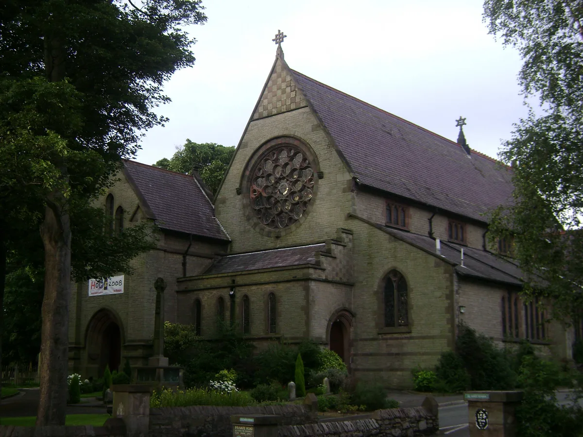
All Saints Church, Marple
All Saints Church, Marple — church in Marple, Greater Manchester, England, UK.
 📷 3
📷 3Historic churches · Yorkshire & the Humber
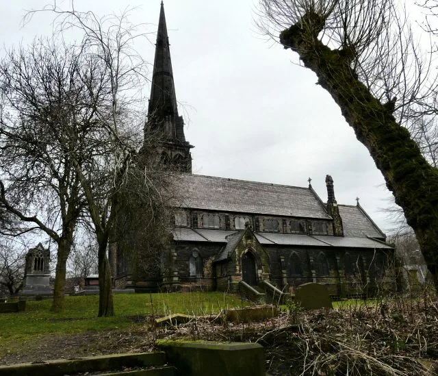
Brookfield Unitarian Church
Brookfield Unitarian Church — church in Manchester, UK.
 📷 5
📷 5Historic churches · Yorkshire & the Humber
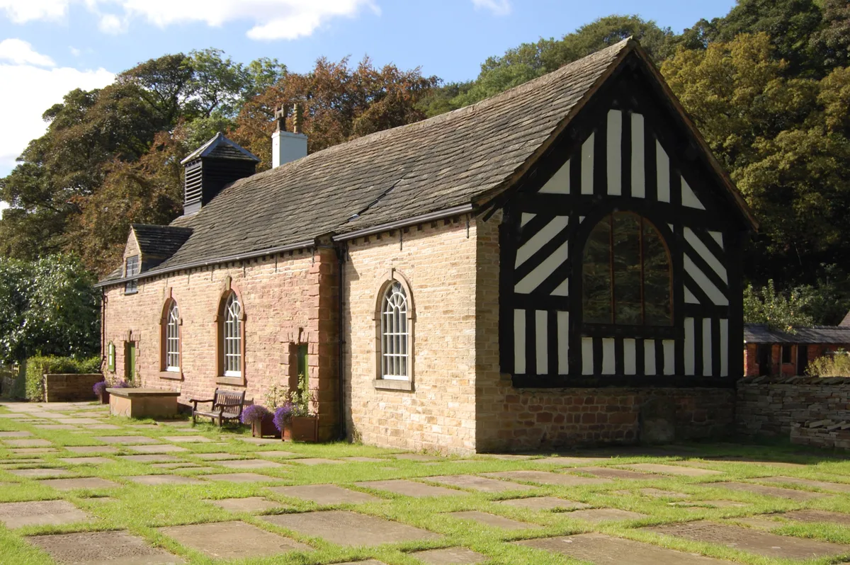
Chadkirk Chapel
Chadkirk Chapel — church and museum in Stockport, United Kingdom.
 📷 3
📷 3Historic churches · Yorkshire & the Humber
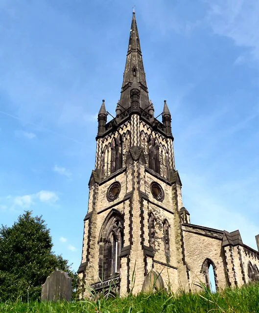
Christ Church, Heaton Norris
Christ Church, Heaton Norris — church in Stockport, UK.
Frequently asked questions
- Where is Keelby?
- Keelby is in Lincolnshire, Yorkshire, United Kingdom (postcode DN41 8EN), in the parish of Keelby.
- What is Keelby?
- Keelby is a village and civil parish in the West Lindsey district of Lincolnshire, England, on the A18, 6 miles (10 km) west from the seaport of Grimsby and 4 miles (6 km) east from the local Humbersi
- How do I get to Keelby?
- The nearest railway station is Habrough, about 4.1 km away. Drivers can use postcode DN41 8EN.
- Is Keelby a protected site?
- Yes — Keelby is part of the Humber Estuary - 2000480 SSSI Site of Special Scientific Interest and the Humber Estuary Ramsar wetland.
- Is Keelby free to visit?
- Yes, Keelby is free to enter.
- How do I get to Keelby?
- The nearest railway station is Habrough, about 4.1 km away. Drivers can navigate to postcode DN41 8EN.