
Battlefields & battle sites · Central Scotland
Johnny Blues Well
In or near Neilston.
Johnny Blues Well in Scotland Central, United Kingdom.

Stephen Sweeney — CC BY-SA 2.0 via Wikimedia Commons licence

Plan your visit
- Typical visit
- 1 h–2 h
- Nearest railway station
- Barrhead · 1.9 km
- Free entry
- Dog-friendly
About
Johnny Blues Well is a registered historic battlefield in Scotland Central, United Kingdom. Britain's battlefields range from the medieval clashes of the Wars of the Roses to the Civil War sieges and the 1745 Jacobite Rising at Culloden — most are open landscapes with interpretive trails and battle-monument markers.
Photo gallery
From the Wikipedia article
The Johnny Blue's Wells (Scots: Johnny Blue Waal) (Barrhead Dialect) is a spring well in the back roads district in East Renfrewshire, Scotland. Standing 1.3 metres (4 ft 3 in) high and 2.15 metres (7 ft 1 in) wide, it is a small former watering point between Neilston and Barrhead on Springfield Road.
Excerpt from Wikipedia under CC BY-SA 4.0. See the source article linked in Sources below.
Background
History
According to local tradition, Johnny Blue was a print maker in the dye works who walked past the well going home to Neilston and reputedly washed the blue dye off himself there. His real name was James Ferguson and he came from Gateside. Ferguson was also a poet, two of his poems appeared in Vale of Leven poet, Hugh Caldwell's 1903 collection as part of a brief flyting between the two writers {{Blockquote |text=<poem>"Johnnie Blue" wis a poet, Gateside his abode, His well's situated on Neilston back-road, An' over its waters he cast a great spell, That they'd a' be poets who drank oot the well.
Sourced from Wikipedia under CC BY-SA 4.0.
- Coordinates
- 55.7870, -4.3964
- District
- East Renfrewshire
- Postcode
- G78 2FL
- Parliamentary constituency
- East Renfrewshire
- Nearest railway station
- Barrhead — 1.9 km
Sources
- wikidata: Q38251644 (CC0)
- wikipedia: Johnny Blues Well (CC BY-SA 4.0)
Other places nearby

The Mill Run
Mountain bike trails · 0.6 km

Wraes Mill, Neilston
Watermills · 0.9 km

Neilston Cemetery
Cemeteries · 1.1 km

Glanderston Dam
Reservoirs & lochs · 1.3 km
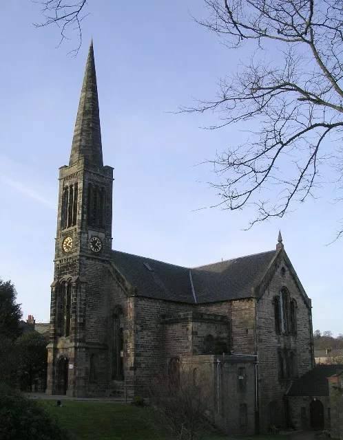
Bourock Parish Church
Historic churches · 1.4 km

Duncarnock (The Craigie)
Mountains & hills · 1.5 km

Barrhead South Parish Church
Historic churches · 1.5 km
Duncarnock
Vineyards · 1.6 km

A Memorial to veterans and others who suffered from post-traumatic stress disorder
Memorials & monuments · 1.7 km
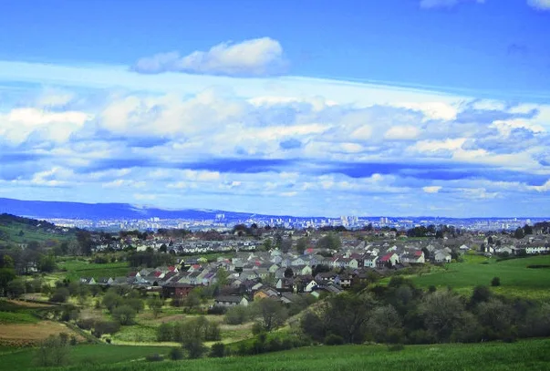
Neilston
Towns & cities · 1.7 km

John Robertson Memorial
Memorials & monuments · 1.8 km
3rd Renfrew Volunteers, South African War Memorial
Memorials & monuments · 1.8 km
Nearby
📷 5📷 5Watermills · Central Scotland
Wraes Mill, Neilston
Wraes Mill, Neilston — category C listed building-listed watermill in scotland-central, United Kingdom.
📷 4Cemeteries · Central Scotland
Neilston Cemetery
Neilston Cemetery is a cemetery in the United Kingdom.
📷 3Reservoirs & lochs · Central Scotland
Glanderston Dam
Glanderston Dam — reservoir in East Renfrewshire, Scotland, UK, which suffered a dam failure in 1842.
📷 3Historic churches · Central Scotland
Bourock Parish Church
Bourock Parish Church — church in East Renfrewshire, Scotland, UK.
📷 5Mountains & hills · Central Scotland
Duncarnock (The Craigie)
Duncarnock (The Craigie) — mountain in scotland central. Elevation: 204 m.
Where to eat & stay near Johnny Blues Well
Places to stay
 📷 7
📷 7Hotels · Central Scotland
Sherbrooke Castle Hotel
Sherbrooke Castle Hotel — a hotel in scotland central.
 📷 5
📷 5Caravan parks · Central Scotland
Dunroman Caravan Park
Dunroman Caravan Park — a caravan park in scotland central.
 📷 5
📷 5Caravan parks · Central Scotland
Jubilee Caravan Park
Jubilee Caravan Park — a caravan park in scotland central.
 📷 5
📷 5 📷 5
📷 5Hotels · Central Scotland
Hilton Garden Inn Glasgow City Centre
Hilton Garden Inn Glasgow City Centre — a hotel in scotland central. 4-star. Brand: Hilton Garden Inn.
 📷 5
📷 5Places to eat & drink
 📷 5
📷 5Historic pubs · Central Scotland
Fiesta Lounge, 15 Gilmour Street, Paisley
Fiesta Lounge, 15 Gilmour Street, Paisley in Scotland Central, United Kingdom.
 📷 5
📷 5Historic pubs · Central Scotland
Hayweighs, 7-9 King Street, Paisley
Hayweighs, 7-9 King Street, Paisley in Scotland Central, United Kingdom.
 📷 5
📷 5Historic pubs · Scottish Lowlands
Swan Inn, 23 Polnoon Street, Eaglesham
Swan Inn, 23 Polnoon Street, Eaglesham in Scotland Central, United Kingdom.
 📷 7
📷 7Historic pubs · Scottish Lowlands
Cross Keys Inn, 1 Montgomery Street, Eaglesham
Cross Keys Inn, 1 Montgomery Street, Eaglesham in Scotland Central, United Kingdom.
 📷 7
📷 7Historic pubs · Central Scotland
Wheatsheaf Public House, 1-3 Canal Street, Renfrew
Wheatsheaf Public House, 1-3 Canal Street, Renfrew in Scotland Central, United Kingdom.
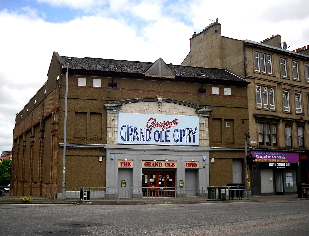 📷 7
📷 7Historic pubs · Central Scotland
Old Toll Bar, 3 Paisley Road West, Glasgow
Old Toll Bar, 3 Paisley Road West, Glasgow in Scotland Central, United Kingdom.
More places in this region
 📷 2
📷 2Battlefields & battle sites · Central Scotland
Drummond Hill Forest
Drummond Hill Forest in Scotland Highlands, United Kingdom.
 📷 3
📷 3Battlefields & battle sites · Central Scotland
Birnam Wood
Birnam Wood in Scotland Highlands, United Kingdom.
 📷 4
📷 4Battlefields & battle sites · Central Scotland
Meikleour Beech Hedges
The Meikleour Beech Hedge(s) (European Beech, Fagus sylvatica), located near Meikleour, Perth and Kinross, Scotland, was planted in the autumn of 1745 by Jean Mercer and her husband Robert Murray Nair
 📷 4
📷 4Battlefields & battle sites · Central Scotland
HMS Cumberland
HMS Cumberland in Scotland Islands, United Kingdom.
Frequently asked questions
- Where is Johnny Blues Well?
- Johnny Blues Well is in central Scotland, United Kingdom (postcode G78 2FL).
- What is Johnny Blues Well?
- Johnny Blues Well in Scotland Central, United Kingdom.
- How do I get to Johnny Blues Well?
- The nearest railway station is Barrhead, about 1.9 km away. Drivers can use postcode G78 2FL.
- Who owns Johnny Blues Well?
- Johnny Blues Well is owned by | url =.
- Is Johnny Blues Well free to visit?
- Yes, Johnny Blues Well is free to enter.
- How do I get to Johnny Blues Well?
- The nearest railway station is Barrhead, about 1.9 km away. Drivers can navigate to postcode G78 2FL.