
Historic churches · South East England
Jarvis Hall, Steyning
In or near Bramber.
Jarvis Hall, Steyning — church in Steyning, Horsham, West Sussex, England, UK.

Wikimedia Commons contributors — see linked file page for photographer and licence licence
.jpg)
Plan your visit
- Typical visit
- 30 min–1 h
- Nearest railway station
- Lancing · 6.7 km
- Free entry
Getting there & planning your visit
To visit Jarvis Hall in Steyning, you can take a train to Lancing station, which is approximately 6.7 km away. The postcode for sat-nav is BN44 3GN. Entry to the church is free.
About
Jarvis Hall, Steyning is a historic church in the United Kingdom. Records date its origin to 1835. Built in the Neoclassical architecture style. Heritage designation: Grade II listed building. Wikidata describes it as: "church in Steyning, Horsham, West Sussex, England, UK". Coordinates: 50.8872°, -0.3251°.
Photo gallery
360° viewimagery from 2023
Imagery © Mapillary contributors, CC BY-SA 4.0
Heritage listing
Jarvis Hall is a former Nonconformist chapel in the village of Steyning, in the Horsham district of the English county of West Sussex. Since its construction in 1835, the Classical-style building has been used by four different Nonconformist Christian denominations: the Countess of Huntingdon's Connexion, Wesleyan Methodists, the Salvation Army and Plymouth Brethren. The Brethren occupied it last and for the longest time. After about 150 years of religious use, it was sold for residential conversion.
From the Historic England List Entry under OGL v3.
Official information
Jarvis Hall, part of the Steyning Museum, showcases the history of the local area from pre-history to the present. Visitors can explore permanent exhibits, temporary displays, and access a library and archives for detailed research.
From the Wikipedia article
Jarvis Hall is a former Nonconformist chapel in the village of Steyning, in the Horsham district of the English county of West Sussex. Since its construction in 1835, the Classical-style building has been used by four different Nonconformist Christian denominations: the Countess of Huntingdon's Connexion, Wesleyan Methodists, the Salvation Army and Plymouth Brethren. The Brethren occupied it last and for the longest time. After about 150 years of religious use, it was sold for residential conversion. English Heritage has listed the former chapel at Grade II for its architectural and historical importance.
Excerpt from Wikipedia under CC BY-SA 4.0. See the source article linked in Sources below.
Background
History
Steyning was founded early in the Saxon era, and was already an important trading settlement when St Cuthman founded St Andrew's Church in the 8th century. He was later buried there, as was King Æthelwulf of Wessex, increasing the village's significance. Throughout its early history, Steyning was one of Sussex's main settlements, but its importance declined from the 16th century. Residential growth resumed in the 19th century, though. Sussex was a hotbed of Protestant Nonconformity in the 16th and 17th centuries, and Puritans were active in Steyning from 1587 or earlier. Quaker and Baptist communities became established: a 17th-century timber-framed house now called Penn's House (after…
Architecture
Jarvis Hall is a plain Neoclassical building with a single storey. The walls are stuccoed. There are two tall arched windows flanking a double doorway with panelled doors. This has a straight-headed fanlight and sits below a cornice.
Sourced from Wikipedia under CC BY-SA 4.0.
- Coordinates
- 50.8872, -0.3251
- County
- West Sussex
- District
- Horsham
- Parish
- Steyning
- Postcode
- BN44 3GN
- Parliamentary constituency
- Arundel and South Downs
- Established
- 1835
- Nearest railway station
- Lancing — 6.7 km
Sources
- wikidata: Q6161231 (CC0)
- wikipedia: Jarvis Hall, Steyning (CC BY-SA 4.0)
- commons: Jarvis Hall, Jarvis Lane, Steyning (IoE Code 298766).jpg (CC BY-SA 4.0)
Other places nearby

Charlton House
Historic houses · 0.1 km

Steyning
Museums · 0.2 km

The Stone House
Historic houses · 0.2 km

Steyning Museum
Museums · 0.3 km

38, High Street
Gardens · 0.3 km

St Cuthmann
Public art & sculpture · 0.3 km

Chantry House
Historic houses · 0.3 km

The Star Public House
Historic pubs · 0.6 km
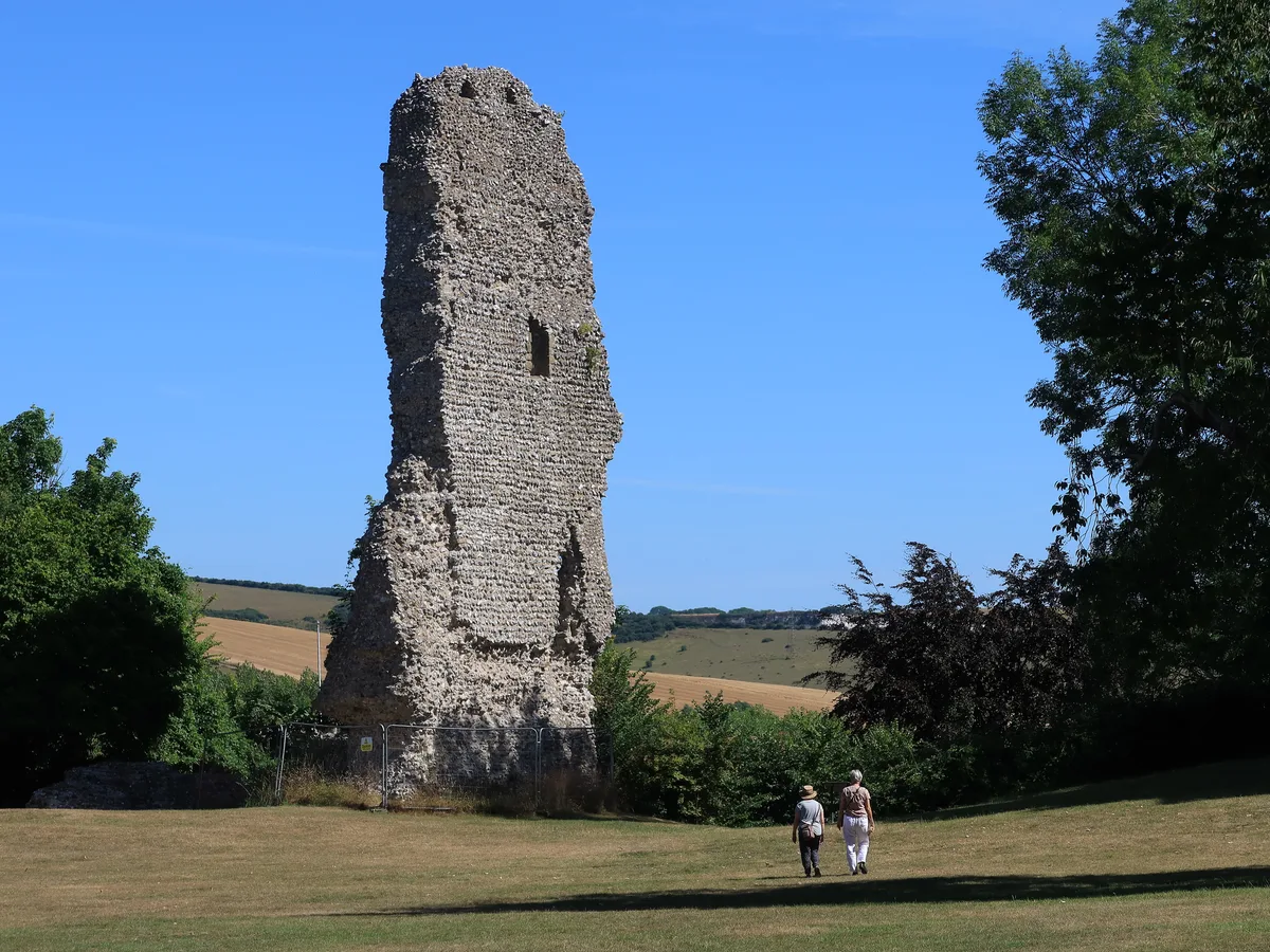
Bramber Castle
Hill forts · 0.7 km
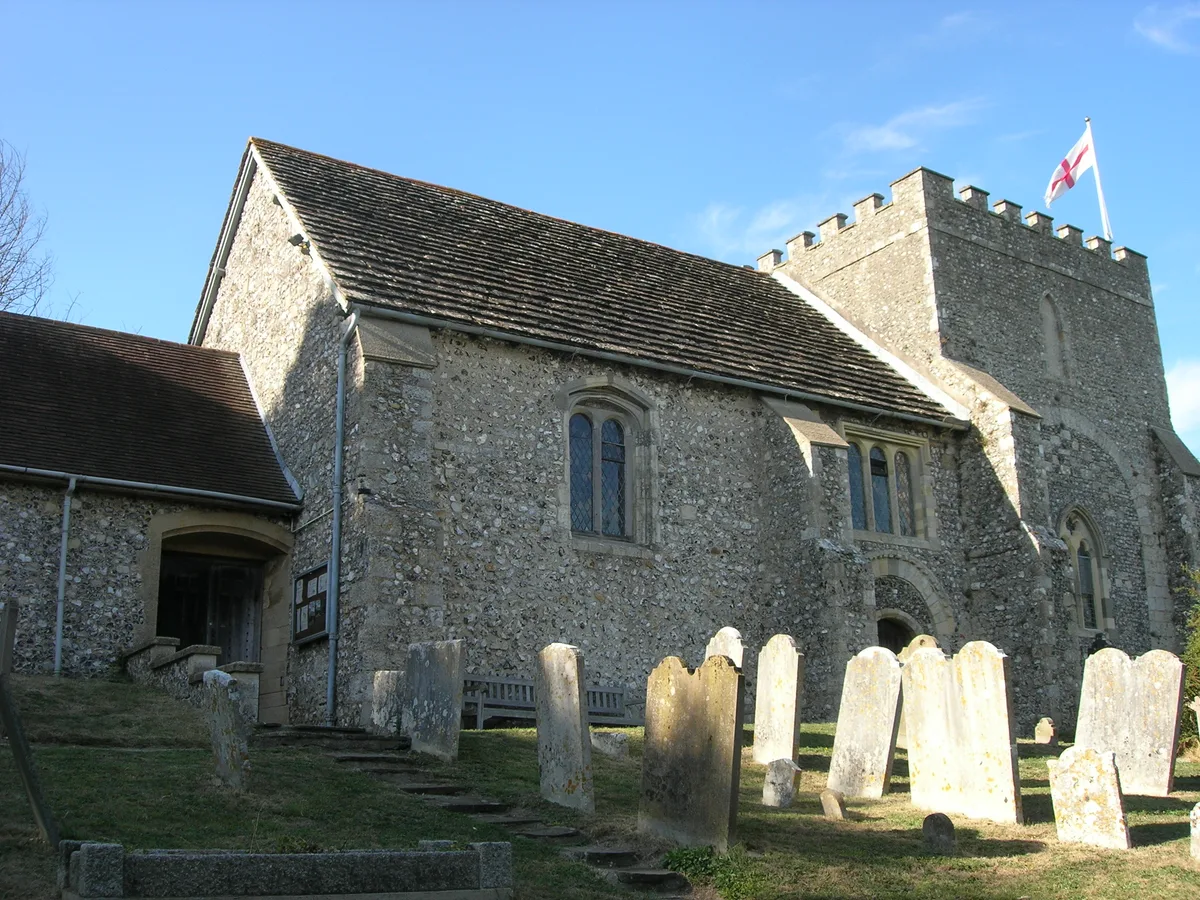
Bramber
Towns & cities · 0.9 km

Picnic Field Steyning Downland Scheme (SDS)
Natural landmarks · 1.2 km

Upper Beeding War Memorial
Memorials & monuments · 1.4 km
Nearby
📷 5Historic houses · South East England
Charlton House
Charlton House — house in Steyning, West Sussex, England, UK.
📷 5Museums · South East England
Steyning
Steyning — a museum in england-south-east, United Kingdom.
📷 5Historic houses · South East England
The Stone House
The Stone House — house in Steyning, Horsham, England, UK.
📷 5Museums · South East England
Steyning Museum
Steyning Museum — a museum in england-south-east, United Kingdom.
📷 5Gardens · South East England
38, High Street
38, High Street — a garden in england-south-east, United Kingdom.
📷 5Public art & sculpture · South East England
St Cuthmann
St Cuthmann — a public art in england-south-east, United Kingdom.
Where to eat & stay near Jarvis Hall, Steyning
Places to stay
 📷 5
📷 5Caravan parks · South East England
Southdown Caravan Park
Southdown Caravan Park — a caravan park in england south east.
 📷 5
📷 5Campsites · South East England
Hillside Scout Camp
Hillside Scout Camp — a campsite in england south east.
 📷 5
📷 5 📷 5
📷 5Campsites · South East England
New Wharf Campsite
New Wharf Campsite — a campsite in england south east.
 📷 5
📷 5Campsites · South East England
YHA Truleigh Hill
YHA Truleigh Hill — a campsite in england south east.
 📷 5
📷 5Caravan parks · South East England
Withy Patch Caravan Park
Withy Patch Caravan Park — a caravan park in england south east.
Places to eat & drink
📷 5Historic pubs · South East England
The Star Public House
The Star Public House in England South East, United Kingdom.
 📷 5
📷 5 📷 7
📷 7 📷 5
📷 5Historic pubs · South East England
The Frankland Arms Public House
The Frankland Arms Public House in England South East, United Kingdom.
 📷 5
📷 5Historic pubs · South East England
The Royal Sovereign Public House
The Royal Sovereign Public House in England South East, United Kingdom.
 📷 5
📷 5Historic pubs · South East England
The Stags Head Public House
The Stags Head Public House in England South East, United Kingdom.
Other places from this era
 📷 5
📷 5Historic churches · London
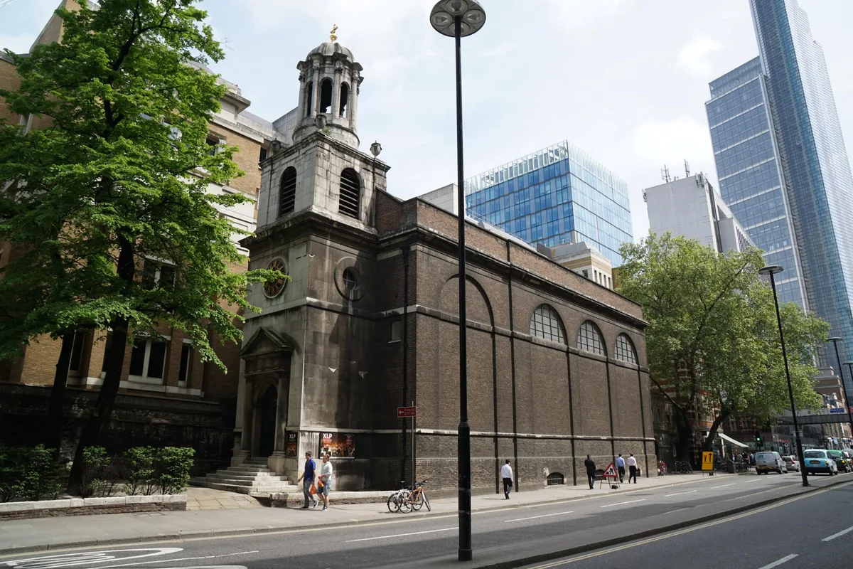
All Hallows-on-the-Wall
All Hallows-on-the-Wall — church in City of London, UK.
 📷 5
📷 5Historic churches · London
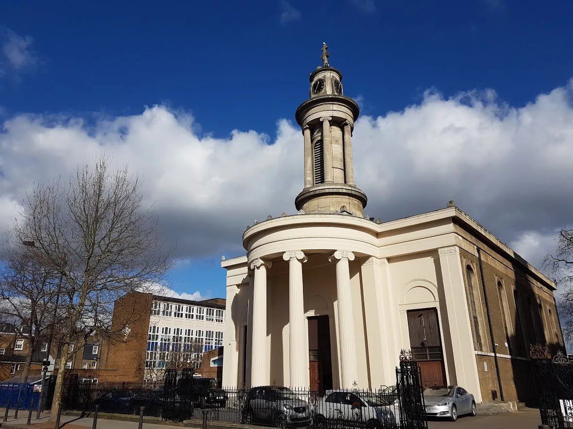
All Saints, Camden Town
All Saints, Camden Town — Greek Orthodox cathedral church in London, UK.
 📷 5
📷 5Historic churches · London
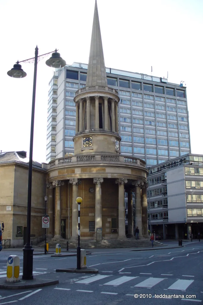
All Souls Church, Langham Place
All Souls Church, Langham Place — church building in Westminster, London, England, UK.
 📷 5
📷 5Historic churches · London
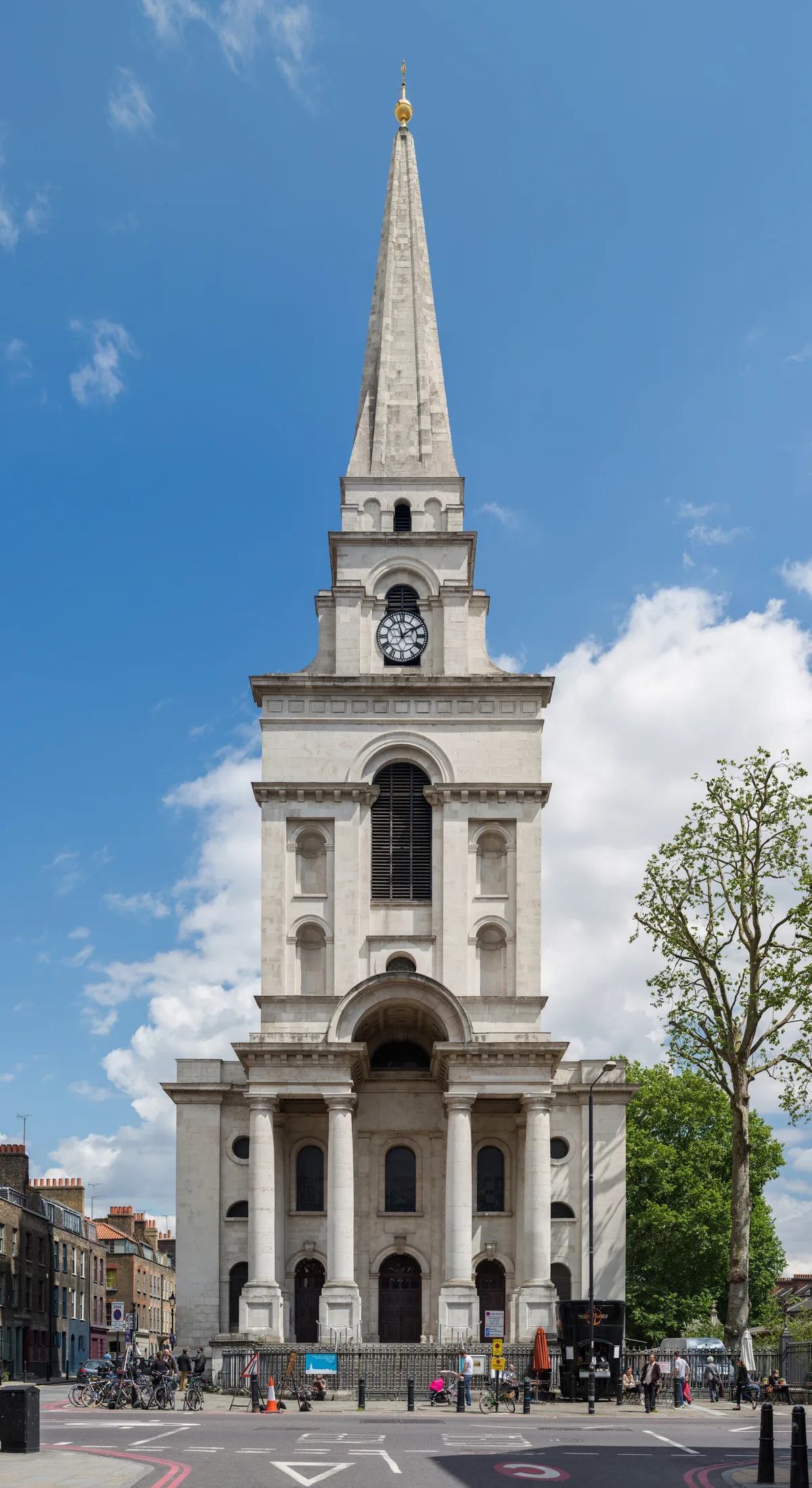
Christ Church, Spitalfields
Christ Church, Spitalfields — church in Spitalfields, London.
More places in this region
 📷 5
📷 5Historic churches · South East England
All Saints Church, Frindsbury
All Saints Church, Frindsbury — church in Medway, UK.
 📷 5
📷 5Historic churches · South East England
All Saints Church, Maidstone
All Saints Church, Maidstone — parish church associated with the Archbishop's Palace, Maidstone, Kent, England, UK.
 📷 5
📷 5Historic churches · South East England
All Saints Church, West Farleigh
All Saints Church, West Farleigh — Grade I listed church in West Farleigh, Maidstone, Kent, England, UK.
 📷 5
📷 5Historic churches · South East England
All Souls' Church, Sutton Green
All Souls' Church, Sutton Green — church in Guildford, England.
Frequently asked questions
- Where is Jarvis Hall, Steyning?
- Jarvis Hall, Steyning is in West Sussex, South-East England, United Kingdom (postcode BN44 3GN), in the parish of Steyning.
- What is Jarvis Hall, Steyning?
- Jarvis Hall, Steyning — church in Steyning, Horsham, West Sussex, England, UK.
- How do I get to Jarvis Hall, Steyning?
- The nearest railway station is Lancing, about 6.7 km away. The nearest town is Bramber. Drivers can use postcode BN44 3GN.
- When was Jarvis Hall, Steyning built?
- Built or established in 1835.
- Is Jarvis Hall, Steyning a listed building?
- Jarvis Hall, Steyning is officially recognised as Grade II listed building listed.
- Is Jarvis Hall, Steyning free to visit?
- Yes, Jarvis Hall, Steyning is free to enter.
- How do I get to Jarvis Hall, Steyning?
- The nearest railway station is Lancing, about 6.7 km away. Drivers can navigate to postcode BN44 3GN.