Islands · Scottish Highlands
Isle of Raasay
Also known as: Ratharsair
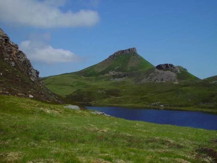
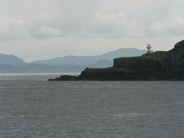
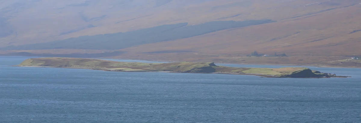
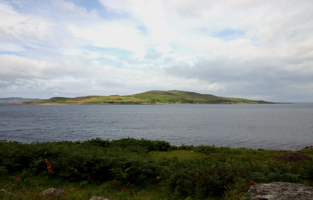
Isle of Raasay — island in Highland, Scotland, UK.

Wikimedia Commons contributors — see linked file page for photographer and licence licence
Plan your visit
- Typical visit
- 4 h–12 h
- Free entry
- Dog-friendly
Getting there & planning your visit
Isle of Raasay is located in the Scottish Highlands and does not have a nearest railway station or postcode available. Entry to the island is free. Accessibility details are not provided.
About
Isle of Raasay is a island in the United Kingdom. It covers approximately 64 km². Recent population estimates put it at around 161 people. Part of Inner Hebrides. Wikidata describes it as: "island in Highland, Scotland, UK". Coordinates: 57.4000°, -6.0333°.
Photo gallery
From the Wikipedia article
Raasay (; Scottish Gaelic: Ratharsair), sometimes the Isle of Raasay, is an island between the Isle of Skye and the mainland of Scotland. It is separated from Skye by the Sound of Raasay and from Applecross by the Inner Sound. It is famous for being the birthplace of Gaelic poet Sorley MacLean, an important figure in the Scottish Renaissance. Traditionally the home of Clan MacSween, the island was ruled by the MacLeods from the 15th to the 19th century. Subsequently, a series of private landlords held title to the island, which is now largely in public ownership. Raasay House, which was visited by James Boswell and Samuel Johnson in 1773, is now a hotel, restaurant, bar and outdoor activity centre. Raasay means "Isle of the Roe Deer" and the island is home to an endemic subspecies of bank vole.
Excerpt from Wikipedia under CC BY-SA 4.0. See the source article linked in Sources below.
Background
History
The spread of Scots culture from Dalriada north of Ardnamurchan is poorly understood and little is recorded of Raasay's early Christian period. The placename Kilmaluag suggests the presence of St Moluag in the late sixth century. Following Viking expeditions to the islands they called the Suðreyjar in the eighth century, Raasay became part of the Norse Kingdom of the Isles and for much of the period religious observance came under the jurisdiction of the Bishopric of the Isles. The Hebrides were yielded to the Kingdom of Scotland as a result of the 1266 Treaty of Perth, after which time control of the islands north of Ardnamurchan was in the hands of the Earls of Ross. In addition to the…
Description
iron ore mine]] Nicolson reported an early bloomery on the island. The next record of ironstone on Raasay was by HB Woodward in 1893. Stead investigated the outcrop in 1909 and the subsequent analysis by Tatlock convinced Baird's to buy the island the following year (with completion in 1912). Baird's original plan was for a railway from the outcrop site down to just south of Suisnish point with the erection of five kilns. Objections led to the plan being revised for two kilns further south, where the current pier is. This pier was a public pier with landing charges regulated by government order. By the outbreak of war Baird's had completed the pier (constructed by Robert McAlpine & Sons),…
Sourced from Wikipedia under CC BY-SA 4.0.
- Coordinates
- 57.4000, -6.0333
- Population
- 161
Sources
- wikidata: Q969065 (CC0)
- wikipedia: Raasay (CC BY-SA 4.0)
- commons: RaasayIsland2.JPG (CC BY-SA 4.0)
Other places nearby

Druim an Aonaich
Mountains & hills · 1.3 km

Meall Daimh
Mountains & hills · 1.3 km
Dùn Caan
Natural landmarks · 2.1 km

Dun Caan
Mountains & hills · 2.1 km

Beinn a' Chapuill
Mountains & hills · 2.4 km
Beinn a' Chapaill
Mountains & hills · 2.5 km
South Screapadal
Vineyards · 2.7 km

North Screapadal
Vineyards · 2.8 km

Hallaig
Vineyards · 3.3 km

Hallaig
Islands · 3.4 km

Holoman Bay
Natural landmarks · 3.6 km

Sorley Maclean Memorial
Memorials & monuments · 4.2 km
Nearby
📷 5Mountains & hills · Scottish Highlands
Druim an Aonaich
Druim an Aonaich — a hill or mountain in scotland highlands.
📷 5Mountains & hills · Scottish Highlands
Meall Daimh
Meall Daimh — a hill or mountain in scotland highlands.
📷 3Natural landmarks · Scottish Highlands
Dùn Caan
Dùn Caan — mountain on the Isle of Raasay, in Highland, Scotland, UK.
📷 5📷 5Mountains & hills · Scottish Highlands
Beinn a' Chapuill
Beinn a' Chapuill — a hill or mountain in scotland highlands.
📷 5Mountains & hills · Scottish Highlands
Beinn a' Chapaill
Beinn a' Chapaill — mountain in scotland highlands. Elevation: 369 m.
Where to eat & stay near Isle of Raasay
Places to stay
 📷 5
📷 5Hostels · Scottish Highlands
Raasay Youth Hostel
Raasay Youth Hostel — a hostel in scotland highlands.
 📷 5
📷 5 📷 5
📷 5Hotels · Scottish Highlands
Cuillin Hills Hotel
Cuillin Hills Hotel — a hotel in scotland highlands.
 📷 5
📷 5Campsites · Scottish Highlands
Torvaig
Torvaig — a campsite in scotland highlands.
 📷 5
📷 5Hostels · Scottish Highlands
Portree Independent Hostel
Portree Independent Hostel — a hostel in scotland highlands.
 📷 5
📷 5Hostels · Scottish Highlands
Portree Youth Hostel - SYHA (Bayfield Backpackers)
Portree Youth Hostel - SYHA (Bayfield Backpackers) — a hostel in scotland highlands. Brand: Hostelling Scotland.
More places in this region
 Flagship📷 5
Islands · Scottish Highlands
Eigg
Eigg — one of the Small Isles in the Inner Hebrides, Scotland, UK.
 Flagship📷 5
Islands · Scottish Highlands
Eilean Choraidh
Eilean Choraidh — island in Loch Eriboll, Sutherland, Highland, Scotland, UK.
 Flagship📷 3
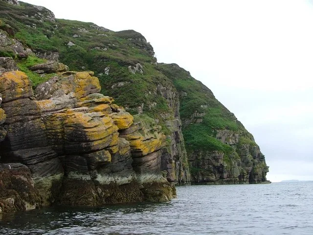 Flagship📷 5
Islands · Scottish Highlands
Isle Martin
Isle Martin — island in Highland, Scotland, UK.
Frequently asked questions
- Where is Isle of Raasay?
- Isle of Raasay is in the Scottish Highlands, United Kingdom.
- What is Isle of Raasay?
- Isle of Raasay — island in Highland, Scotland, UK.
- How do I get to Isle of Raasay?
- Its coordinates are 57.4000°, -6.0333°.
- Is Isle of Raasay free to visit?
- Yes, Isle of Raasay is free to enter.