
Wildlife reserves · Scottish Lowlands
Irvine New Town Trail
In or near Crosshouse.
The Irvine New Town Trail is a recreational cycleway and footpath around Irvine, North Ayrshire, Scotland. The route is 19 kilometres (12 mi) long. The trail is used by many dog walkers and cyclists i

Billy McCrorie — CC BY-SA 2.0 via Wikimedia Commons licence

Plan your visit
- Typical visit
- 2 h–4 h
- Best time of year
- Autumn & winter (migration & wildfowl)
- Nearest railway station
- Kilwinning · 3.2 km
- Free entry
- Dog-friendly
Getting there & planning your visit
To visit Irvine New Town Trail, the nearest railway station is Kilwinning, located 3.2 km away. The postcode for the trail is KA12 8TA, which you can use for sat-nav. Entry to the trail is free.
About
The Irvine New Town Trail is a recreational cycleway and footpath around Irvine, North Ayrshire, Scotland. The route is 19 kilometres (12 mi) long. The trail is used by many dog walkers and cyclists in the area. The route forms a ring with no specific start and end points. Taken in a clockwise direction from the town's main Rivergate Centre, the trail runs beside the River Irvine through Irvine's Low Green, continues north beside the railway line past the Towns Moor and the Garnock Floods wildlife reserve, then goes along beside the River Garnock towards Kilwinning's Woodwynd and Blacklands area. At this point, it diverges from the Ayrshire Coastal Path, crossing the river along the route of the former Doura colliery branch line of the Ardrossan Railway before following the Lugton Water eastwards through Eglinton Country Park: a very popular area for recreational activities, with historical interest at Eglinton Castle. The trail rejoins the disused Ardrossan Railway line at Sourlie Wood nature reserve, and follows the old track south through Girdle Toll in a cutting which formerly led to the Perceton colliery. The trail then runs beside the Annick Water, initially southwards through parkland and countryside to the east of Bourtreehill. It follows the river west in parkland between Broomlands and Dreghorn, using the disused Glasgow, Paisley, Kilmarnock and Ayr Railway trackbed past the site of the former Dreghorn railway station, then rejoins the River Irvine riverbank…
Photo gallery
See it from the streetimagery from 2021
Imagery © Mapillary contributors, CC BY-SA 4.0
From the Wikipedia article
The Irvine New Town Trail is a recreational cycleway and footpath around Irvine, North Ayrshire, Scotland. The route is 19 kilometres (12 mi) long. The trail is used by many dog walkers and cyclists in the area. The route forms a ring with no specific start and end points. Taken in a clockwise direction from the town's main Rivergate Centre, the trail runs beside the River Irvine through Irvine's Low Green, continues north beside the railway line past the Towns Moor and the Garnock Floods wildlife reserve, then goes along beside the River Garnock towards Kilwinning's Woodwynd and Blacklands area. At this point, it diverges from the Ayrshire Coastal Path, crossing the river along the route of the former Doura colliery branch line of the Ardrossan Railway before following the Lugton Water eastwards through Eglinton Country Park: a very popular area for recreational activities, with historical interest at Eglinton Castle. The trail rejoins the disused Ardrossan Railway line at Sourlie Wood nature reserve, and follows the old track south through Girdle Toll in a cutting which formerly led to the Perceton colliery. The trail then runs beside the Annick Water, initially southwards through parkland and countryside to the east of Bourtreehill. It follows the river west in parkland between Broomlands and Dreghorn, using the disused Glasgow, Paisley, Kilmarnock and Ayr Railway trackbed past the site of the former Dreghorn railway station, then rejoins the River Irvine riverbank heading north back to the Rivergate shopping mall. The route forms part of the national cycle network with routes 7 and 73 forming part of the route.
Excerpt from Wikipedia under CC BY-SA 4.0. See the source article linked in Sources below.
- Coordinates
- 55.6444, -4.6631
- District
- North Ayrshire
- Postcode
- KA12 8TA
- Parliamentary constituency
- Central Ayrshire
- Nearest railway station
- Kilwinning — 3.2 km
Sources
- wikipedia: Irvine New Town Trail (CC BY-SA 4.0)
Other places nearby

Belvedere Hill
Historic houses · 0.4 km

Eglinton Tournament Bridge
Historic bridges · 0.4 km

Headless and Legless Statue
Public art & sculpture · 0.5 km
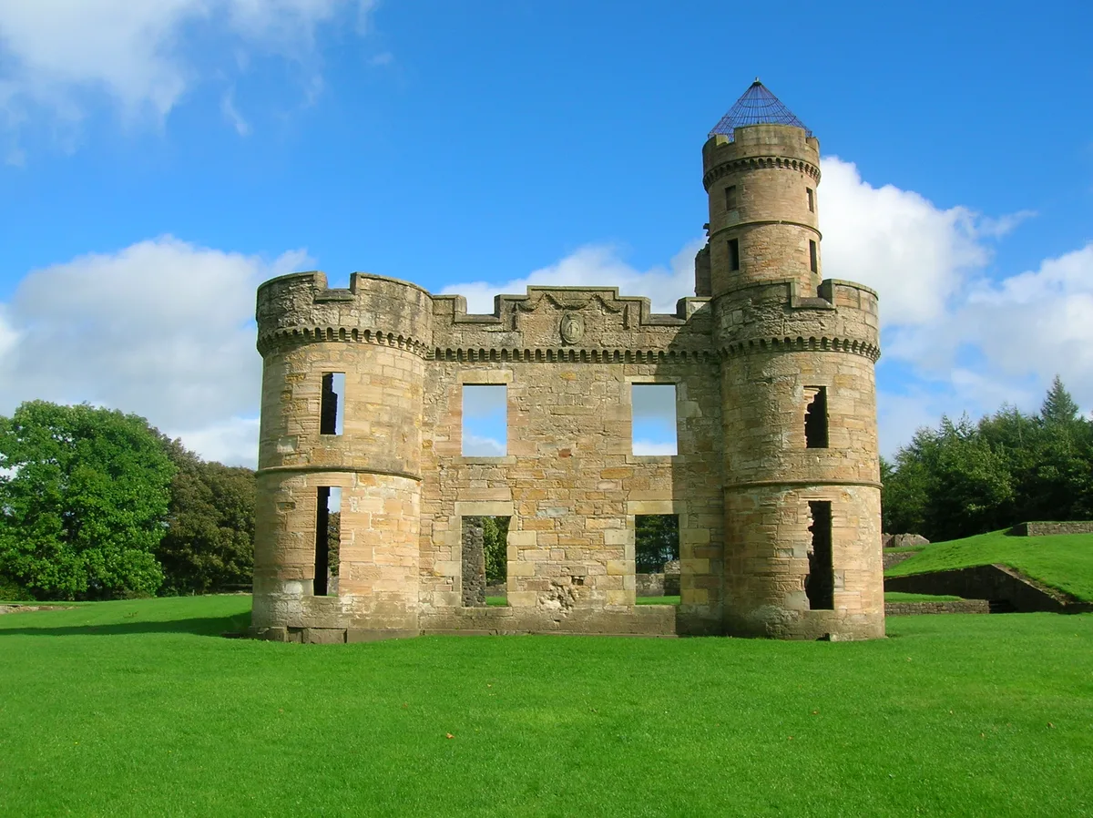
Eglinton Castle
Castles · 0.6 km

9/11 Memorial Cairn
Memorials & monuments · 0.7 km

Park Bridge, Lugton Water, Eglinton Country Park, Irvine
Historic bridges · 0.7 km

Eglinton Camping and Touring Site
Campsites · 0.7 km

Bridge, Kilwinning
Historic bridges · 2.3 km

Robert W Service Monument
Memorials & monuments · 2.3 km

Circle of Life
Public art & sculpture · 2.3 km

Kingsway Bar, 26-28 Main Street, Kilwinning
Historic pubs · 2.4 km
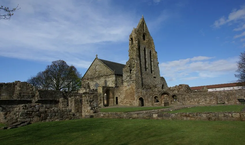
Kilwinning Abbey
Abbeys & priories · 2.4 km
Nearby
📷 3Historic houses · Scottish Lowlands
Belvedere Hill
Belvedere Hill — a historic house in scotland-highlands, United Kingdom.
📷 5Historic bridges · Scottish Lowlands
Eglinton Tournament Bridge
Eglinton Tournament Bridge — category B listed building-listed bridge in scotland-highlands, United Kingdom.
📷 3Public art & sculpture · Scottish Lowlands
Headless and Legless Statue
Headless and Legless Statue — a public art in scotland-highlands, United Kingdom.
📷 5Castles · Scottish Lowlands
Eglinton Castle
Eglinton Castle — mansion in North Ayrshire, Scotland, UK.
📷 3Memorials & monuments · Scottish Lowlands
9/11 Memorial Cairn
9/11 Memorial Cairn — a memorial in scotland-highlands, United Kingdom.
📷 5Historic bridges · Scottish Lowlands
Park Bridge, Lugton Water, Eglinton Country Park, Irvine
Park Bridge, Lugton Water, Eglinton Country Park, Irvine — category B listed building-listed bridge in scotland-highlands, United Kingdom.
Where to eat & stay near Irvine New Town Trail
Places to stay
📷 5Campsites · Scottish Lowlands
Eglinton Camping and Touring Site
Eglinton Camping and Touring Site — a campsite in scotland highlands.
 📷 5
📷 5 📷 5
📷 5Caravan parks · Scottish Lowlands
Viewfield Manor Leisure Park
Viewfield Manor Leisure Park — a caravan park in scotland highlands.
 📷 5
📷 5Caravan parks · Scottish Lowlands
Sandylands Holiday Park
Sandylands Holiday Park — a caravan park in scotland highlands. Brand: Parkdean Resorts.
 📷 5
📷 5Caravan parks · Scottish Lowlands
Glenview Caravan Park
Glenview Caravan Park — a caravan park in scotland highlands.
 📷 5
📷 5Caravan parks · Scottish Lowlands
Waterside Caravan Park
Waterside Caravan Park — a caravan park in scotland highlands.
Places to eat & drink
📷 5Historic pubs · Scottish Lowlands
Kingsway Bar, 26-28 Main Street, Kilwinning
Kingsway Bar, 26-28 Main Street, Kilwinning in Scotland Central, United Kingdom.
 📷 5
📷 5Historic pubs · Scottish Lowlands
Public House, Lawthorn, Irvine
Public House, Lawthorn, Irvine in Scotland Central, United Kingdom.
 📷 7
📷 7Historic pubs · Scottish Lowlands
Champion Shell Inn, 5 Schoolwell Street, Stevenston
Champion Shell Inn, 5 Schoolwell Street, Stevenston in Scotland Central, United Kingdom.
 📷 5
📷 5Restaurants · Scottish Lowlands
Braidwoods
Braidwoods — a restaurant in scotland highlands.
 📷 5
📷 5Historic pubs · Scottish Lowlands
The Auld Hoose Bar, 9 Main Street, Dalry
The Auld Hoose Bar, 9 Main Street, Dalry in Scotland Central, United Kingdom.
 📷 7
📷 7Historic pubs · Scottish Lowlands
Weston Tavern
Weston Tavern in Scotland Central, United Kingdom.
More places in this region
 📷 3
📷 3Wildlife reserves · Scottish Lowlands
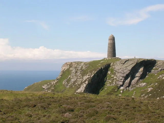
The Oa
The Oa — peninsula in the southwest of Islay, Argyll and Bute, Scotland, UK.
 📷 3
📷 3Wildlife reserves · Scottish Lowlands
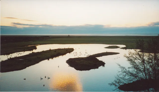
WWT Caerlaverock
WWT Caerlaverock — wetland nature reserve in southwest Scotland.
 📷 3
📷 3Wildlife reserves · Scottish Lowlands
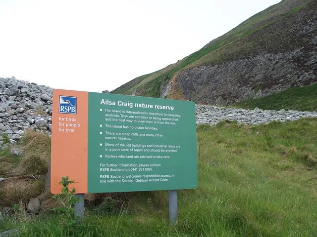
Ailsa Craig RSPB Reserve
Ailsa Craig RSPB Reserve — RSPB nature reserve in South Ayrshire, Scotland, UK.
 📷 3
📷 3Wildlife reserves · Scottish Lowlands
Airds Moss RSPB Reserve
Airds Moss RSPB Reserve — RSPB nature reserve in East Ayrshire, Scotland, UK.
Frequently asked questions
- Where is Irvine New Town Trail?
- Irvine New Town Trail is in the Scottish Lowlands, United Kingdom (postcode KA12 8TA).
- What is Irvine New Town Trail?
- The Irvine New Town Trail is a recreational cycleway and footpath around Irvine, North Ayrshire, Scotland. The route is 19 kilometres (12 mi) long. The trail is used by many dog walkers and cyclists i
- How do I get to Irvine New Town Trail?
- The nearest railway station is Kilwinning, about 3.2 km away. The nearest town is Crosshouse. Drivers can use postcode KA12 8TA.
- Is Irvine New Town Trail free to visit?
- Yes, Irvine New Town Trail is free to enter.
- How do I get to Irvine New Town Trail?
- The nearest railway station is Kilwinning, about 3.2 km away. Drivers can navigate to postcode KA12 8TA.
- Are dogs allowed at Irvine New Town Trail?
- Most wildlife reserves allow dogs on lead only, with restrictions during ground-nesting bird season (March-July). Check signage at the reserve.