
Wildlife reserves · South East England
Iping and Stedham Commons
In or near Milland.
Iping and Stedham Commons is a wildlife reserve in the United Kingdom.

Wikimedia Commons licence
Plan your visit
- Typical visit
- 2 h–4 h
- Best time of year
- Autumn & winter (migration & wildfowl)
- Nearest railway station
- Holycombe Junction · 7.5 km
- Free entry
- Dog-friendly
Getting there & planning your visit
Iping and Stedham Commons is located in Chichester, West Sussex, with the postcode GU29 0JW. The nearest railway station is Holycombe Junction, which is 7.5 km away. Entry to the reserve is free.
About
Iping and Stedham Commons is a wildlife reserve in the United Kingdom. Heritage designation: Site of Special Scientific Interest. Coordinates: 50.9900°, -0.7920°.
Photo gallery
Protected designations
- Site of Special Scientific Interest: Iping Common SSSI
Designations sourced from Natural England open data under OGL v3.
From the Wikipedia article
Iping and Stedham Commons is a nature reserve owned and managed by the Sussex Wildlife Trust. It is a 125.4-hectare (310-acre) biological Site of Special Scientific Interest (designated as Iping Common but covering both commons) near the villages of Iping and Stedham, west of Midhurst in West Sussex. It is also a Local Nature Reserve and a Nature Conservation Review site, Grade 2. This is described by Natural England as one of the richest areas of heath in the county. Most of it is dry but there are also areas of wet heath, two ponds, woodland, scrub and grassland. It has a rich invertebrate fauna and breeding heathland birds include nightjars and stonechats. There is access from Elsted Road, which runs between the two commons.
Excerpt from Wikipedia under CC BY-SA 4.0. See the source article linked in Sources below.
- Coordinates
- 50.9900, -0.7920
- County
- West Sussex
- District
- Chichester
- Parish
- Stedham with Iping
- Postcode
- GU29 0JW
- Parliamentary constituency
- Arundel and South Downs
- Nearest railway station
- Holycombe Junction — 7.5 km
Sources
- wikidata: Q65066392 (CC0)
- wikipedia: Iping and Stedham Commons (CC BY-SA 4.0)
Other places nearby

Iping
Villages · 1.0 km

Keepers Arms
Historic pubs · 1.1 km

Iping Bridge
Historic bridges · 1.1 km

Chithurst Bridge
Historic bridges · 1.3 km

Trotton Bridge
Historic bridges · 1.3 km

Chithurst Church
Historic churches · 1.4 km

Chithurst
Villages · 1.4 km
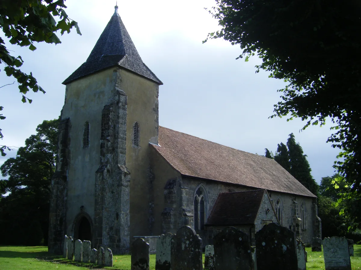
St George's Church, Trotton
Historic churches · 1.4 km

Stedham
Villages · 1.5 km

Stedham Bridge
Historic bridges · 1.5 km

Trotton
Villages · 1.6 km

Cittaviveka
Historic churches · 1.6 km
Nearby
📷 5📷 7Historic pubs · South East England
Keepers Arms
Keepers Arms — Historic pub — listed building or notable heritage status.
📷 5Historic bridges · South East England
Iping Bridge
Iping Bridge — a Grade II-listed bridge in england-south-east, United Kingdom.
📷 5Historic bridges · South East England
Chithurst Bridge
Chithurst Bridge — Grade II listed building-listed bridge in england-south-east, United Kingdom.
📷 5Historic bridges · South East England
Trotton Bridge
Trotton Bridge — scheduled monument-listed bridge in england-south-east, United Kingdom.
📷 5Historic churches · South East England
Chithurst Church
Chithurst Church — Grade I listed building-listed church in england-south-east, United Kingdom.
Where to eat & stay near Iping and Stedham Commons
Places to stay
 📷 5
📷 5 📷 5
📷 5 📷 5
📷 5Hotels · South East England
Spread Eagle Hotel
Spread Eagle Hotel — a hotel in england south east.
 📷 5
📷 5Campsites · South East England
Hazelbank Farm
Hazelbank Farm — a campsite in england south east.
 📷 5
📷 5Campsites · South East England
1st Harting Scout HQ
1st Harting Scout HQ — a campsite in england south east.
 📷 5
📷 5Campsites · South East England
West Dean Campsite
West Dean Campsite — a campsite in england south east.
Places to eat & drink
📷 7Historic pubs · South East England
Keepers Arms
Keepers Arms — Historic pub — listed building or notable heritage status.
 📷 5
📷 5Historic pubs · South East England
Page's Stores The White Horse Inn
Page's Stores The White Horse Inn in England South East, United Kingdom.
 📷 5
📷 5Historic pubs · South East England
The Duke Of Cumberland Public House
The Duke Of Cumberland Public House in England South East, United Kingdom.
 📷 5
📷 5Historic pubs · South East England
The Hollist Arms Public House
The Hollist Arms Public House in England South East, United Kingdom.
 📷 5
📷 5Historic pubs · South East England
The Foresters Public House
The Foresters Public House in England South East, United Kingdom.
 📷 5
📷 5Historic pubs · South East England
The Partridge Inn
The Partridge Inn in England South East, United Kingdom.
More places in this region
 📷 5
📷 5 📷 5
📷 5Wildlife reserves · South East England
Burham Down
Burham Down — nature reserve in Kent, England, UK.
 📷 5
📷 5Wildlife reserves · South East England
Combe Bottom
Combe Bottom — nature reserve in Surrey, England.
 📷 5
📷 5Wildlife reserves · South East England
Dryhill Nature Reserve
Dryhill Nature Reserve is a wildlife reserve in the United Kingdom.
Frequently asked questions
- Where is Iping and Stedham Commons?
- Iping and Stedham Commons is in West Sussex, South-East England, United Kingdom (postcode GU29 0JW), in the parish of Stedham with Iping.
- What is Iping and Stedham Commons?
- Iping and Stedham Commons is a wildlife reserve in the United Kingdom.
- How do I get to Iping and Stedham Commons?
- The nearest railway station is Holycombe Junction, about 7.5 km away. The nearest town is Milland. Drivers can use postcode GU29 0JW.
- Is Iping and Stedham Commons a listed building?
- Iping and Stedham Commons is officially recognised as Site of Special Scientific Interest listed.
- Is Iping and Stedham Commons a protected site?
- Yes — Iping and Stedham Commons is part of the Iping Common SSSI Site of Special Scientific Interest.
- Is Iping and Stedham Commons free to visit?
- Yes, Iping and Stedham Commons is free to enter.
- How do I get to Iping and Stedham Commons?
- The nearest railway station is Holycombe Junction, about 7.5 km away. Drivers can navigate to postcode GU29 0JW.
- Are dogs allowed at Iping and Stedham Commons?
- Most wildlife reserves allow dogs on lead only, with restrictions during ground-nesting bird season (March-July). Check signage at the reserve.