
Battlefields & battle sites · Central Scotland
Inverkeithing
Also known as: Inbhir Chèitinn
In or near North Queensferry.
Inverkeithing in Scotland Islands, United Kingdom.

M J Richardson — CC BY-SA 2.0 via Wikimedia Commons licence

Plan your visit
- Typical visit
- 1 h–2 h
- Nearest railway station
- Inverkeithing · 0.8 km
- Free entry
- Dog-friendly
Getting there & planning your visit
To get to Inverkeithing, the nearest railway station is Inverkeithing, located 0.8 km away. Entry to the site is free. The postcode for sat-nav is KY11 1BY.
About
Inverkeithing is a place of interest in Scotland Islands, United Kingdom — drawn from open-data sources for visitor reference. See the linked Wikipedia article for the full description.
Photo gallery
Official information
Inverkeithing is a location in Fife, Scotland, known for its historical significance and Gaelic heritage. The name translates to 'river mouth at the wood', reflecting its geographical features.
From the Wikipedia article
Inverkeithing ( ; Scottish Gaelic: Inbhir Chèitinn) is a coastal town, parish and historic Royal burgh in Fife, Scotland. The town lies on the north shore of the Firth of Forth, 9+1⁄2 mi (15.5 km) northwest of Edinburgh city centre and 3+1⁄2 mi (5.5 km) south of Dunfermline. Inverkeithing became an important centre of trade during the Middle Ages and was granted Royal burgh status by 1161. It was the meeting place of the Parliament of Scotland in 1354 and the Convention of Royal Burghs from 1487 to 1552. The Battle of Inverkeithing in 1651 was a pivotal engagement in the Wars of the Three Kingdoms. Following the Industrial Revolution, Inverkeithing developed industries including quarrying, ship breaking and paper milling. Inverkeithing town centre is a conservation area following a medieval town plan, with the best-preserved medieval friary in Scotland and one of the finest examples of a mercat cross. The town's annual highland games and Lammas fair are among the oldest in Scotland. Inverkeithing lies on the Fife Coastal Path, one of Scotland's Great Trails, and the Fife Pilgrim Way. Inverkeithing railway station is a main stop for trains running over the nearby Forth Bridge, and the town is home to the Ferrytoll Park & Ride. Half of Inverkeithing's workers commute to Edinburgh city centre or Dunfermline (2024). The town has a population of 4,820 (2020) and the civil parish has a population of 8,878 (2022).
Excerpt from Wikipedia under CC BY-SA 4.0. See the source article linked in Sources below.
Background
History
Neolithic finds from Inverkeithing include stone axe heads, which suggests people were clearing woodland and settling in Inverkeithing during the fourth millennium BC. The discovery of a collared urn indicates burial activity in the second millennium BC. Archaeological finds in Inverkeithing include a bronze Roman coin dating from AD 218 to 222, and Roman Road is believed to be of Roman origin. The Inverkeithing stone, an ancient pictish standing stone depicting a hunt and a mythical beast, is evidence of Pict settlement in Inverkeithing around the 8th to 9th century.
Sourced from Wikipedia under CC BY-SA 4.0.
- Coordinates
- 56.0333, -3.3833
- District
- Fife
- Postcode
- KY11 1BY
- Parliamentary constituency
- Cowdenbeath and Kirkcaldy
- Nearest railway station
- Inverkeithing — 0.8 km
- Official site
- web.archive.org
Sources
- wikidata: Q1010422 (CC0)
- wikipedia: Inverkeithing (CC BY-SA 4.0)
Other places nearby

Spencerfield House
Historic houses · 0.2 km

Prestonhill Quarry
Mines & mining heritage · 0.6 km

Bridge Over Keithing Burn, King Street, Inverkeithing
Historic bridges · 0.6 km
Bridge, King Street, Inverkeithing
Historic bridges · 0.7 km

Bridge, Halbeath Tramway, Inverkeithing
Historic bridges · 0.7 km

Inverkeithing
Villages · 0.8 km

Inverkeithing railway station
Historic bridges · 0.8 km

Bridge, Keithing Burn, Commercial Road, Inverkeithing
Historic bridges · 0.8 km

Inverkeithing Hillfield Swifts F.C.
Other places · 0.8 km
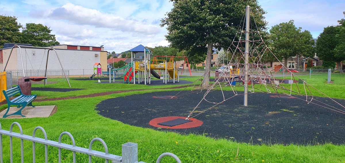
Ballast Bank Park
Country parks · 0.8 km

The Artful Bear
Public art & sculpture · 0.8 km

Moffat Cottage, 13-17 Heriot Street, Inverkeithing
Other places · 0.8 km
Nearby
📷 3Historic houses · Central Scotland
Spencerfield House
Spencerfield House — house in Fife, Scotland, UK.
📷 3Mines & mining heritage · Central Scotland
Prestonhill Quarry
Prestonhill Quarry — mine in Inverkeithing, Fife, Scotland.
📷 5Historic bridges · Central Scotland
Bridge Over Keithing Burn, King Street, Inverkeithing
Bridge Over Keithing Burn, King Street, Inverkeithing — category C listed building-listed bridge in scotland-central, United Kingdom.
📷 5Historic bridges · Central Scotland
Bridge, King Street, Inverkeithing
Bridge, King Street, Inverkeithing — category C listed building-listed bridge in scotland-central, United Kingdom.
📷 4Historic bridges · Central Scotland
Bridge, Halbeath Tramway, Inverkeithing
Bridge, Halbeath Tramway, Inverkeithing in Scotland Islands, United Kingdom.
📷 5Where to eat & stay near Inverkeithing
Places to stay
 📷 5
📷 5 📷 5
📷 5Hotels · Central Scotland
DoubleTree by Hilton Edinburgh - Queensferry Crossing
DoubleTree by Hilton Edinburgh - Queensferry Crossing — a hotel in scotland central. 3-star. Brand: DoubleTree.
 📷 5
📷 5Campsites · Central Scotland
Green Oak Nature Retreat
Green Oak Nature Retreat — a campsite in scotland central.
 📷 5
📷 5Hotels · Central Scotland
Garvock House Hotel
Garvock House Hotel — a hotel in scotland central.
 📷 5
📷 5 📷 5
📷 5Places to eat & drink
 📷 6
📷 6Historic pubs · Central Scotland
The Burgh Arms
The Burgh Arms in Scotland Islands, United Kingdom.
 📷 5
📷 5Historic pubs · Central Scotland
The Star Tavern, 71-73 High Street, Burntisland
The Star Tavern, 71-73 High Street, Burntisland in Scotland Central, United Kingdom.
 📷 7
📷 7Historic pubs · Central Scotland
Granton Tavern, 160 Lower Granton Road, Edinburgh
Granton Tavern, 160 Lower Granton Road, Edinburgh in Scotland Central, United Kingdom.
 📷 5
📷 5Restaurants · Central Scotland
Champany Inn
Champany Inn — a restaurant in scotland central.
 📷 6
📷 6Historic pubs · Central Scotland
Starbank Arms, 62-64 Laverockbank Road, Edinburgh
Starbank Arms, 62-64 Laverockbank Road, Edinburgh in Scotland Central, United Kingdom.
 📷 7
📷 7Historic pubs · Central Scotland
Hamilton's Bar & Kitchen
Hamilton's Bar & Kitchen in Scotland Central, United Kingdom.
More places in this region
 📷 5
📷 5Battlefields & battle sites · Central Scotland
Drummond Hill Forest
Drummond Hill Forest in Scotland Highlands, United Kingdom.
 📷 3
📷 3Battlefields & battle sites · Central Scotland
Birnam Wood
Birnam Wood in Scotland Highlands, United Kingdom.
 📷 4
📷 4Battlefields & battle sites · Central Scotland
Meikleour Beech Hedges
The Meikleour Beech Hedge(s) (European Beech, Fagus sylvatica), located near Meikleour, Perth and Kinross, Scotland, was planted in the autumn of 1745 by Jean Mercer and her husband Robert Murray Nair
 📷 4
📷 4Battlefields & battle sites · Central Scotland
HMS Cumberland
HMS Cumberland in Scotland Islands, United Kingdom.
Frequently asked questions
- Where is Inverkeithing?
- Inverkeithing is in central Scotland, United Kingdom (postcode KY11 1BY).
- What is Inverkeithing?
- Inverkeithing in Scotland Islands, United Kingdom.
- How do I get to Inverkeithing?
- The nearest railway station is Inverkeithing, about 0.8 km away. The nearest town is North Queensferry. Drivers can use postcode KY11 1BY.
- Is Inverkeithing free to visit?
- Yes, Inverkeithing is free to enter.
- How do I get to Inverkeithing?
- The nearest railway station is Inverkeithing, about 0.8 km away. Drivers can navigate to postcode KY11 1BY.