
Harbours & ports · Central Scotland
Inverkeithing East And West Harbour
In or near North Queensferry.
Inverkeithing East And West Harbour — harbor in Inverkeithing, Fife, Scotland, UK.

Wikimedia Commons licence
Plan your visit
- Typical visit
- 45 min–1.5 h
- Nearest railway station
- Inverkeithing · 0.8 km
- Family-friendly
- Dog-friendly
Getting there & planning your visit
To visit Inverkeithing East and West Harbour, the nearest railway station is Inverkeithing, located 0.8 km away. The postcode for the harbour is KY11 1DN. Entry is free, and accessibility details are not specified.
About
Inverkeithing East And West Harbour is a harbour in the United Kingdom. Heritage designation: category B listed building. Wikidata describes it as: "harbor in Inverkeithing, Fife, Scotland, UK". Coordinates: 56.0283°, -3.3951°.
Photo gallery
From the Wikipedia article
Inverkeithing Harbour is a harbour on Inverkeithing Bay, located in Inverkeithing in Fife, Scotland. Originally built before 1587, the present harbour was constructed in the late 18th century. The harbour is category B listed by Historic Scotland.
Excerpt from Wikipedia under CC BY-SA 4.0. See the source article linked in Sources below.
Background
History
The first records of a port at Inverkeithing date to the 14th Century; Inverkeithing was probably the landing place for the early Queensferry Passage during the 12th century. A harbour is first recorded in 1587; in 1666, there is further mention of piers and "heads". In 1703, it was recorded that "the entry to Inverkeithing Bay or Harbour is large and open... Along the Shoar below there is a large and convenient key of Stone". The present harbour dates from the late 18th century, constructed as the terminus for the Halbeath Waggon Way - built in 1783. The Halbeath Waggon way took coal from the Halbeath Colliery to be exported via Inverkeithing harbour. Shipping peaked in the late 18th and…
Description
The present harbour dates from the 18th century and early 19th century, with later alterations and repairs. The harbour features a 20th-century metal footbridge runs running over the sluice, in place of where the Halbeath Railway formerly crossed the Keithing Burn.
Sourced from Wikipedia under CC BY-SA 4.0.
- Coordinates
- 56.0283, -3.3951
- District
- Fife
- Postcode
- KY11 1DN
- Parliamentary constituency
- Cowdenbeath and Kirkcaldy
- Established
- 1587
- Nearest railway station
- Inverkeithing — 0.8 km
Sources
- wikidata: Q17794523 (CC0)
- wikipedia: Inverkeithing Harbour (CC BY-SA 4.0)
Other places nearby

Keithing Burn
Other places · 0.0 km

Cadwell's Paper Mill
Other places · 0.2 km
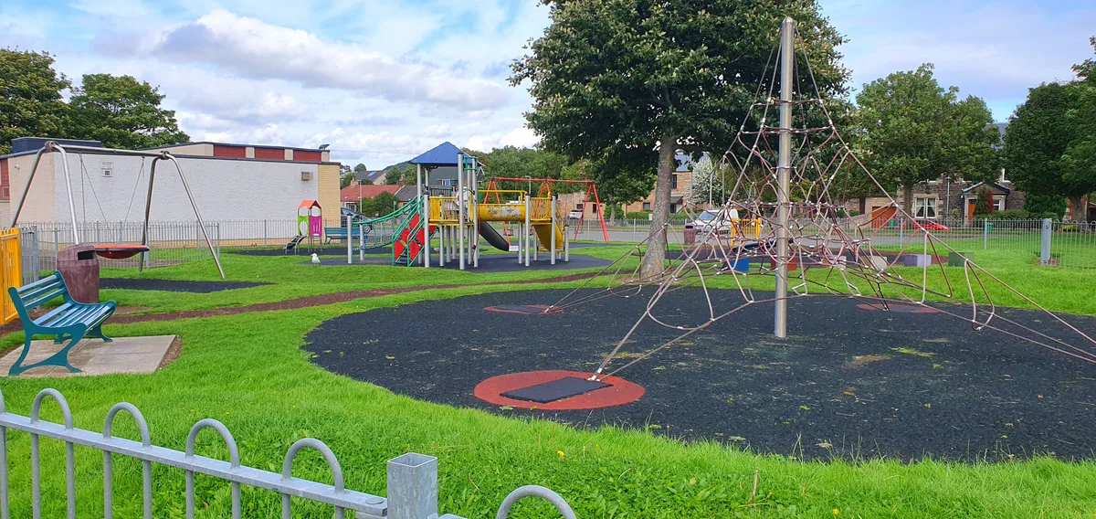
Ballast Bank Park
Country parks · 0.2 km

Inverkeithing Hillfield Swifts F.C.
Other places · 0.2 km

Bridge, Keithing Burn, Commercial Road, Inverkeithing
Historic bridges · 0.2 km

Inverkeithing Museum
Abbeys & priories · 0.3 km

The Burgh Arms
Historic pubs · 0.3 km

Providence House
Historic houses · 0.3 km

Mercat Cross, Bank Street, Inverkeithing
Memorials & monuments · 0.3 km

Thomson's Lodging, 2-4 Bank Street, Inverkeithing
Historic houses · 0.3 km

Town House, Townhall Street, Inverkeithing
Historic houses · 0.4 km

Bridge, King Street, Inverkeithing
Historic bridges · 0.4 km
Nearby
📷 4📷 4Other places · Central Scotland
Cadwell's Paper Mill
Cadwell's Paper Mill in Scotland Islands, United Kingdom.
📷 3Country parks · Central Scotland
Ballast Bank Park
Ballast Bank Park — park in Inverkeithing, Fife, Scotland.
📷 3Other places · Central Scotland
Inverkeithing Hillfield Swifts F.C.
Inverkeithing Hillfield Swifts F.C. in Scotland Islands, United Kingdom.
📷 5Historic bridges · Central Scotland
Bridge, Keithing Burn, Commercial Road, Inverkeithing
Bridge, Keithing Burn, Commercial Road, Inverkeithing — category C listed building-listed bridge in scotland-central, United Kingdom.
Flagship📷 4Abbeys & priories · Central Scotland
Inverkeithing Museum
Inverkeithing Museum in Scotland Islands, United Kingdom.
Where to eat & stay near Inverkeithing East And West Harbour
Places to stay
 📷 5
📷 5Hotels · Central Scotland
DoubleTree by Hilton Edinburgh - Queensferry Crossing
DoubleTree by Hilton Edinburgh - Queensferry Crossing — a hotel in scotland central. 3-star. Brand: DoubleTree.
 📷 5
📷 5 📷 5
📷 5Campsites · Central Scotland
Green Oak Nature Retreat
Green Oak Nature Retreat — a campsite in scotland central.
 📷 5
📷 5 📷 5
📷 5Hotels · Central Scotland
Garvock House Hotel
Garvock House Hotel — a hotel in scotland central.
 📷 5
📷 5Places to eat & drink
📷 6Historic pubs · Central Scotland
The Burgh Arms
The Burgh Arms in Scotland Islands, United Kingdom.
 📷 5
📷 5Historic pubs · Central Scotland
The Star Tavern, 71-73 High Street, Burntisland
The Star Tavern, 71-73 High Street, Burntisland in Scotland Central, United Kingdom.
 📷 5
📷 5Restaurants · Central Scotland
Champany Inn
Champany Inn — a restaurant in scotland central.
 📷 7
📷 7Historic pubs · Central Scotland
Granton Tavern, 160 Lower Granton Road, Edinburgh
Granton Tavern, 160 Lower Granton Road, Edinburgh in Scotland Central, United Kingdom.
 📷 7
📷 7Historic pubs · Central Scotland
Oatridge Hotel, 2, 4 East Main Street, Uphall
Oatridge Hotel, 2, 4 East Main Street, Uphall in Scotland Central, United Kingdom.
 📷 6
📷 6Historic pubs · Central Scotland
Starbank Arms, 62-64 Laverockbank Road, Edinburgh
Starbank Arms, 62-64 Laverockbank Road, Edinburgh in Scotland Central, United Kingdom.
More places in this region
 📷 5
📷 5 Flagship📷 4
Harbours & ports · Central Scotland
Port Glasgow
Port Glasgow — town in the Inverclyde council area of Scotland, UK.
 📷 3
📷 3Harbours & ports · Central Scotland
Largs harbour
Largs harbour — harbour at Largs, North Ayrshire, Scotland, UK.
 📷 3
📷 3Harbours & ports · Central Scotland
Millport Harbour
Millport Harbour — harbor at Millport, Great Cumbrae Island, North Ayrshire, Scotland, UK.
Frequently asked questions
- Where is Inverkeithing East And West Harbour?
- Inverkeithing East And West Harbour is in central Scotland, United Kingdom (postcode KY11 1DN).
- What is Inverkeithing East And West Harbour?
- Inverkeithing East And West Harbour — harbor in Inverkeithing, Fife, Scotland, UK.
- How do I get to Inverkeithing East And West Harbour?
- The nearest railway station is Inverkeithing, about 0.8 km away. The nearest town is North Queensferry. Drivers can use postcode KY11 1DN.
- When was Inverkeithing East And West Harbour built?
- Built or established in 1587.
- Is Inverkeithing East And West Harbour a listed building?
- Inverkeithing East And West Harbour is officially recognised as category B listed building listed.
- How do I get to Inverkeithing East And West Harbour?
- The nearest railway station is Inverkeithing, about 0.8 km away. Drivers can navigate to postcode KY11 1DN.