
Archaeological sites · North West England
Innermessan Mote
Innermessan Mote — a archaeological in scotland-lowlands, United Kingdom.

Billy McCrorie — CC BY-SA 2.0 via Wikimedia Commons licence

Plan your visit
- Typical visit
- 45 min–1.5 h
- Nearest railway station
- Stranraer · 2.9 km
- Free entry
- Dog-friendly
About
Innermessan Mote is a archaeological located in scotland-lowlands, United Kingdom. Sourced from OpenStreetMap (ODbL licence); see local listings for visitor information, opening hours and admission details.
Photo gallery
Place summary
Innermessan Mote is an archaeological site located in the Scottish Lowlands. It is notable for its historical significance, providing insights into the region's early settlements and cultural practices.
AI-generated from the structured facts on this page (operator, designation, listing, era). Not a substitute for visiting.
- Coordinates
- 54.9275, -4.9915
- District
- Dumfries and Galloway
- Postcode
- DG9 8QR
- Parliamentary constituency
- Dumfries and Galloway
- Nearest railway station
- Stranraer — 2.9 km
Sources
- osm: way/1391439505 (ODbL)
Other places nearby

Innermessan
Villages · 0.3 km

Ryanbay Holiday and Residential Park
Campsites · 0.4 km

Craigcaffie Tower
Manor houses · 0.9 km
Craigcaffie Tower
Literary houses · 0.9 km

Cockle Shore Beach
Beaches · 1.1 km

Craigcaffie, Settlement
Archaeological sites · 1.2 km

Teroy Broch
Archaeological sites · 1.7 km

Teroy Broch
Archaeological sites · 1.7 km
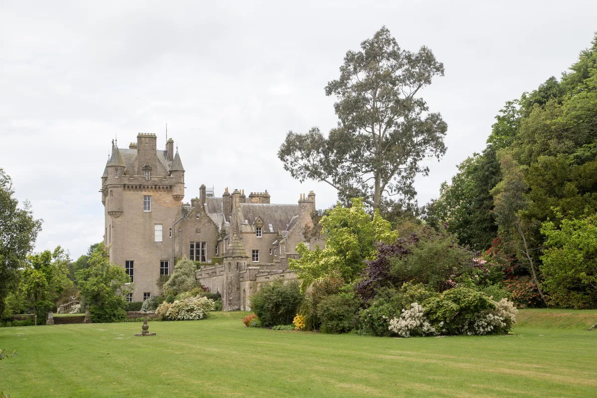
Lochinch Castle
Castles · 2.7 km

Leffnoll
Vineyards · 2.7 km
Loch Ryan
Natural landmarks · 2.8 km

Old Parish Church and Burial-ground, Inch
Historic churches · 3.0 km
Nearby
📷 5📷 5Campsites · North West England
Ryanbay Holiday and Residential Park
Ryanbay Holiday and Residential Park — a campsite in scotland lowlands.
📷 3Manor houses · North West England
Craigcaffie Tower
Craigcaffie Tower — a manor in scotland-lowlands, United Kingdom.
📷 5Literary houses · North West England
Craigcaffie Tower
Craigcaffie Tower — a literary house museum in scotland lowlands.
📷 3Beaches · North West England
Cockle Shore Beach
Cockle Shore Beach is a beach in the United Kingdom.
📷 3Archaeological sites · North West England
Craigcaffie, Settlement
Craigcaffie, Settlement — a archaeological in scotland-lowlands, United Kingdom.
Where to eat & stay near Innermessan Mote
Places to stay
📷 5Campsites · North West England
Ryanbay Holiday and Residential Park
Ryanbay Holiday and Residential Park — a campsite in scotland lowlands.
 📷 5
📷 5Campsites · North West England
Aird Donald Caravan Park
Aird Donald Caravan Park — a campsite in scotland lowlands.
 📷 6
📷 6Hotels · North West England
North West Castle
North West Castle — a hotel in scotland lowlands.
 📷 5
📷 5Campsites · North West England
Cairnryan Heights Holiday Park
Cairnryan Heights Holiday Park — a campsite in scotland lowlands.
 📷 5
📷 5Campsites · North West England
Wig Bay Holiday Park
Wig Bay Holiday Park — a campsite in scotland lowlands.
 📷 5
📷 5Campsites · North West England
Drumlochart Caravan Park
Drumlochart Caravan Park — a campsite in scotland lowlands.
Places to eat & drink
 📷 5
📷 5Historic pubs · North West England
Stranraer Tandoori
Stranraer Tandoori in Scotland Lowlands, United Kingdom.
 📷 7
📷 7Historic pubs · North West England
The Craighlaw Arms, 23 Main Street, Kirkcowan
The Craighlaw Arms, 23 Main Street, Kirkcowan in Scotland Lowlands, United Kingdom.
More archaeological sites in this region
 📷 3
📷 3Archaeological sites · North West England
Early medieval sculptural fragments in St Mary's churchyard
Early medieval sculptural fragments in St Mary's churchyard — archaeological site in Sandbach, Cheshire East, England, UK.
 📷 3
📷 3Archaeological sites · North West England
Gaddum's Wood
Gaddum's Wood is a archaeological site in the United Kingdom.
 📷 3
📷 3Archaeological sites · North West England
Marton moated monastic grange, three fishponds, connecting channels and base of stone cross
Marton moated monastic grange, three fishponds, connecting channels and base of stone cross — archaeological site in Whitegate and Marton, Cheshire West and Chester, England, UK.
 📷 3
📷 3Archaeological sites · North West England
St Oswalds Well
St Oswalds Well — a archaeological in england-west-midlands, United Kingdom.
Frequently asked questions
- Where is Innermessan Mote?
- Innermessan Mote is in the Scottish Lowlands, United Kingdom (postcode DG9 8QR).
- What is Innermessan Mote?
- Innermessan Mote — a archaeological in scotland-lowlands, United Kingdom.
- How do I get to Innermessan Mote?
- The nearest railway station is Stranraer, about 2.9 km away. Drivers can use postcode DG9 8QR.
- Is Innermessan Mote free to visit?
- Yes, Innermessan Mote is free to enter.
- How do I get to Innermessan Mote?
- The nearest railway station is Stranraer, about 2.9 km away. Drivers can navigate to postcode DG9 8QR.