
Archaeological sites · North West England
Inglewood Forest
In or near Skelton.
Inglewood Forest — area in Cumbria, England, UK, formerly a royal forest.

Wikimedia Commons licence
Plan your visit
- Typical visit
- 45 min–1.5 h
- Nearest railway station
- Dalston · 8.4 km
- Free entry
- Dog-friendly
About
Inglewood Forest is an archaeological site in the United Kingdom. Wikidata describes it as: "area in Cumbria, England, UK, formerly a royal forest". Coordinates: 54.7833°, -2.9167°.
Photo gallery
Protected designations
- Site of Special Scientific Interest: River Eden and Tributaries SSSI
Designations sourced from Natural England open data under OGL v3.
From the Wikipedia article
Inglewood Forest is a large tract of mainly arable and dairy farm land with a few small woodland areas between Carlisle and Penrith in the English non-metropolitan county of Cumbria or ancient county of Cumberland.
Excerpt from Wikipedia under CC BY-SA 4.0. See the source article linked in Sources below.
Background
History
Soon after the Norman Conquest of England this area became a royal forest. The word forest in this sense did not necessarily mean a wooded area but one that was set aside for hunting, though several areas of Inglewood were heavily wooded. The animals that were hunted in this area were mainly deer and wild boars. The forest boundaries changed many times and included at one time most of the Cumberland wards of Leath and Cumberland but the core or heart of the forest was the parishes of Hesket-in-the-Forest, Skelton and Hutton-in-the-Forest. Higham places the "core of the forest between the Chalk Beck and the River Petteril, in particular the townships and civil parishes of Dalston, Sebergham,…
Sourced from Wikipedia under CC BY-SA 4.0.
- Coordinates
- 54.7833, -2.9167
- District
- Westmorland and Furness
- Parish
- Skelton
- Postcode
- CA4 0PH
- Parliamentary constituency
- Penrith and Solway
- Nearest railway station
- Dalston — 8.4 km
Sources
- wikidata: Q11977232 (CC0)
- wikipedia: Inglewood Forest (CC BY-SA 4.0)
Other places nearby

Wharton Bridge
Historic bridges · 0.7 km

Ivegill
Villages · 0.7 km
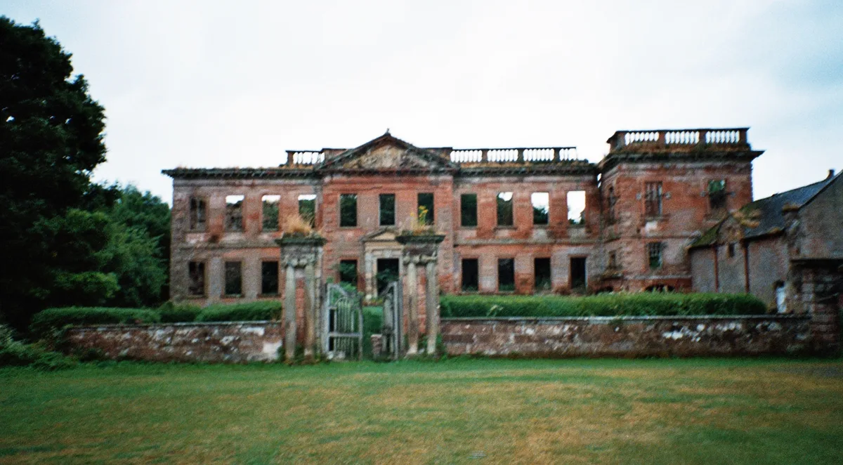
High Head Castle
Castles · 0.9 km
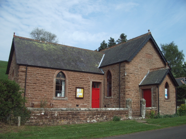
Pasturewood Holidays
Campsites · 1.5 km

Thistlewood Tower
Literary houses · 1.5 km

Broadfield Mound
Archaeological sites · 1.6 km

Stockdalewath Bridge
Historic bridges · 2.8 km

Green Hollows
Caravan parks · 2.9 km

Thrangholm Bridge Ny 385460
Historic bridges · 3.6 km

Castle Sowerby
Castles · 3.7 km

Raughton Head War Memorial
Memorials & monuments · 3.8 km

Gatesgill
Villages · 4.0 km
Nearby
📷 3Historic bridges · North West England
Wharton Bridge
Wharton Bridge — Grade II listed building-listed bridge in scotland-lowlands, United Kingdom.
📷 5📷 3Castles · North West England
High Head Castle
High Head Castle — country house, formerly castle, in Skelton, Cumbria, United Kingdom.
📷 3Campsites · North West England
Pasturewood Holidays
Pasturewood Holidays — a campsite in scotland lowlands.
📷 5Literary houses · North West England
Thistlewood Tower
Thistlewood Tower — a literary house museum in scotland lowlands.
Archaeological sites · North West England
Broadfield Mound
Broadfield Mound — a archaeological in scotland-lowlands, United Kingdom.
Where to eat & stay near Inglewood Forest
Places to stay
📷 3Campsites · North West England
Pasturewood Holidays
Pasturewood Holidays — a campsite in scotland lowlands.
📷 5 📷 5
📷 5 📷 5📷 5
 📷 5
📷 5Caravan parks · North West England
Riverside Touring Park
Riverside Touring Park — a caravan park in scotland lowlands.
Places to eat & drink
 📷 5📷 5
 📷 4
📷 4Historic pubs · North West England
Oddfellows Arms
Oddfellows Arms — Historic pub — listed building or notable heritage status.
 📷 5
📷 5Historic pubs · North West England
Spinners Arms
Spinners Arms in Scotland Lowlands, United Kingdom.
 📷 5
📷 5Historic pubs · North West England
St Nicholas Arms Public House
St Nicholas Arms Public House in Scotland Lowlands, United Kingdom.
 📷 5
📷 5Historic pubs · North West England
Horse And Farrier Public House
Horse And Farrier Public House in Scotland Lowlands, United Kingdom.
More archaeological sites in this region
 📷 3
📷 3Archaeological sites · North West England
Early medieval sculptural fragments in St Mary's churchyard
Early medieval sculptural fragments in St Mary's churchyard — archaeological site in Sandbach, Cheshire East, England, UK.
 📷 3
📷 3Archaeological sites · North West England
Gaddum's Wood
Gaddum's Wood is a archaeological site in the United Kingdom.
 📷 3
📷 3Archaeological sites · North West England
Marton moated monastic grange, three fishponds, connecting channels and base of stone cross
Marton moated monastic grange, three fishponds, connecting channels and base of stone cross — archaeological site in Whitegate and Marton, Cheshire West and Chester, England, UK.
 📷 3
📷 3Archaeological sites · North West England
St Oswalds Well
St Oswalds Well — a archaeological in england-west-midlands, United Kingdom.
Frequently asked questions
- Where is Inglewood Forest?
- Inglewood Forest is in the Scottish Lowlands, United Kingdom (postcode CA4 0PH), in the parish of Skelton.
- What is Inglewood Forest?
- Inglewood Forest — area in Cumbria, England, UK, formerly a royal forest.
- How do I get to Inglewood Forest?
- The nearest railway station is Dalston, about 8.4 km away. Drivers can use postcode CA4 0PH.
- Is Inglewood Forest a protected site?
- Yes — Inglewood Forest is part of the River Eden and Tributaries SSSI Site of Special Scientific Interest.
- Is Inglewood Forest free to visit?
- Yes, Inglewood Forest is free to enter.
- How do I get to Inglewood Forest?
- Drivers can navigate to postcode CA4 0PH. It sits within the Penrith and Solway parliamentary constituency.