
Natural landmarks · North West England
Ingleborough
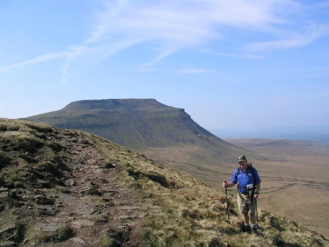
Ingleborough — mountain in the United Kingdom.

Wikimedia Commons contributors — see linked file page for photographer and licence licence

Plan your visit
- Typical visit
- 1 h–2 h
- Nearest railway station
- Ribblehead · 5.0 km
- Free entry
- Dog-friendly
About
Ingleborough is a named natural landmark in the United Kingdom. Wikidata describes it as: "mountain in the United Kingdom". Coordinates: 54.1658°, -2.3975°.
Photo gallery
Protected designations
- Site of Special Scientific Interest: Ingleborough SSSI
- National Nature Reserve: INGLEBOROUGH
Designations sourced from Natural England open data under OGL v3.
From the Wikipedia article
Ingleborough (723 m or 2,372 ft) is the second-highest mountain in the Yorkshire Dales, England. It is one of the Yorkshire Three Peaks (the other two being Whernside and Pen-y-ghent), and is frequently climbed as part of the Three Peaks walk. A large part of Ingleborough is designated as a Site of Special Scientific Interest and National Nature Reserve and is the home of a multi-agency project, Wild Ingleborough, with aims to improve the landscape for wildlife and people.
Excerpt from Wikipedia under CC BY-SA 4.0. See the source article linked in Sources below.
Background
Description
and windshelter]] Twistleton Scar, west of Ingleborough]] The summit is a broad plateau half a mile in circumference, slightly convex, higher to the north-west than to the south-east, and carpeted with dry turf. There is an Ordnance Survey trig point (number S. 5619) at the highest point, near the western corner. Just to the north is a well built windshelter (cross-shaped to provide shelter whichever way the wind is blowing) with a view indicator or toposcope built into its centre. Between them is a large cairn. At the point where the Ingleton path reaches the summit rim are remains of a battlemented round tower, built in 1830. The summit plateau is a Scheduled Monument classified as a…
Sourced from Wikipedia under CC BY-SA 4.0.
- Coordinates
- 54.1658, -2.3975
- Address
- Yorkshire Dales, England
- Nearest railway station
- Ribblehead — 5 km
Sources
- wikidata: Q1164985 (CC0)
- wikipedia: Ingleborough (CC BY-SA 4.0)
- commons: Ingleborough.jpg (CC BY-SA 4.0)
Featured in this guide
Other places nearby
Loading nearby places…
Nearby
 📷 5
📷 5Mountains & hills · North West England
Ingleborough
Ingleborough — Named summit at 723 m.
 📷 3
📷 3Historic houses · North West England
Celtic hut circle
Celtic hut circle — a historic house in england-north-west, United Kingdom.
 📷 5
📷 5Vineyards · North West England
Large univallate hillfort on Ingleborough Hill.
Large univallate hillfort on Ingleborough Hill. — a UK vineyard in england north west, producing English or Welsh wine from cool-climate grape varieties.
📷 3Memorials & monuments · North West England
Coronation of Queen Elizabeth II
Coronation of Queen Elizabeth II — a memorial in england-north-west, United Kingdom.
 📷 3
📷 3Archaeological sites · North West England
Ingleborough Camp
Ingleborough Camp — a archaeological in england-north-west, United Kingdom.
 📷 3
📷 3Historic houses · North West England
defensive wall
defensive wall — a historic house in england-north-west, United Kingdom.
More natural landmarks in this region
 ★ Iconic📷 4
Natural landmarks · North West England
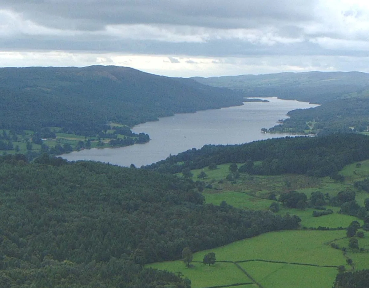
Coniston Water
Lake District lake — Swallows and Amazons setting and Donald Campbell water-speed history.
 📷 3
📷 3Natural landmarks · North West England
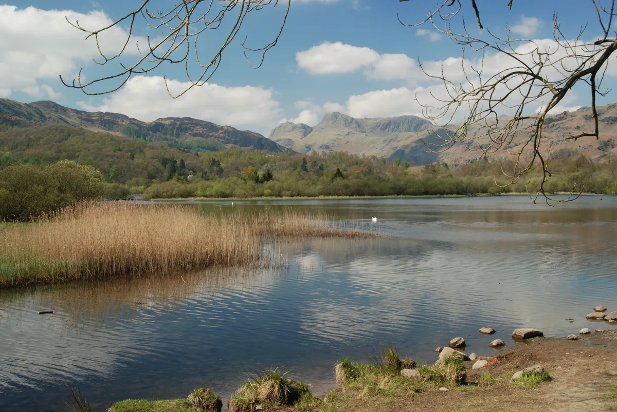
Elter Water
Elter Water — lake in the United Kingdom.
 📷 3
📷 3Natural landmarks · North West England
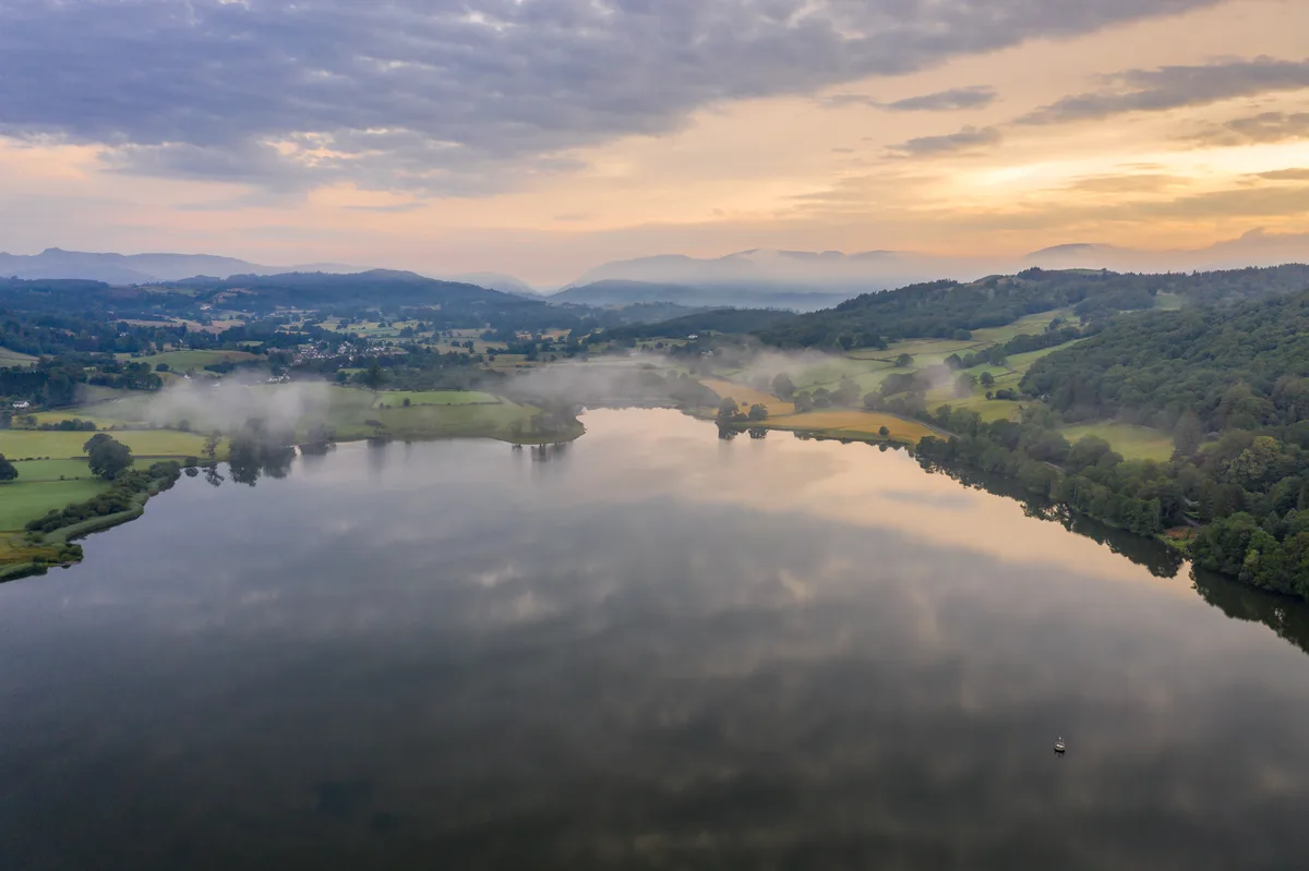
Esthwaite Water
Esthwaite Water — lake in the United Kingdom.
 Flagship📷 5
Natural landmarks · North West England
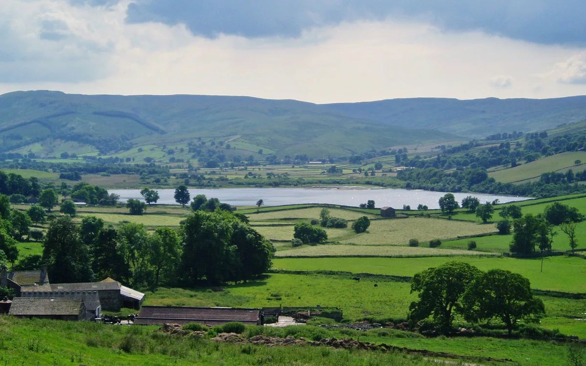
Semerwater
Semerwater — lake in North Yorkshire, England, UK.
Frequently asked questions
- Where is Ingleborough?
- Ingleborough is in North-West England, United Kingdom.
- What is Ingleborough?
- Ingleborough — mountain in the United Kingdom.
- How do I get to Ingleborough?
- The nearest railway station is Ribblehead, about 5.0 km away. Its coordinates are 54.1658°, -2.3975°.
- Is Ingleborough a protected site?
- Yes — Ingleborough is part of the Ingleborough SSSI Site of Special Scientific Interest and the INGLEBOROUGH National Nature Reserve.
- Is Ingleborough free to visit?
- Yes, Ingleborough is free to enter.
- How do I get to Ingleborough?
- The nearest railway station is Ribblehead, about 5.0 km away.